


This guide is part of our complete Castle Rock Real Estate Guide → [Castle Rock Real Estate Guide]
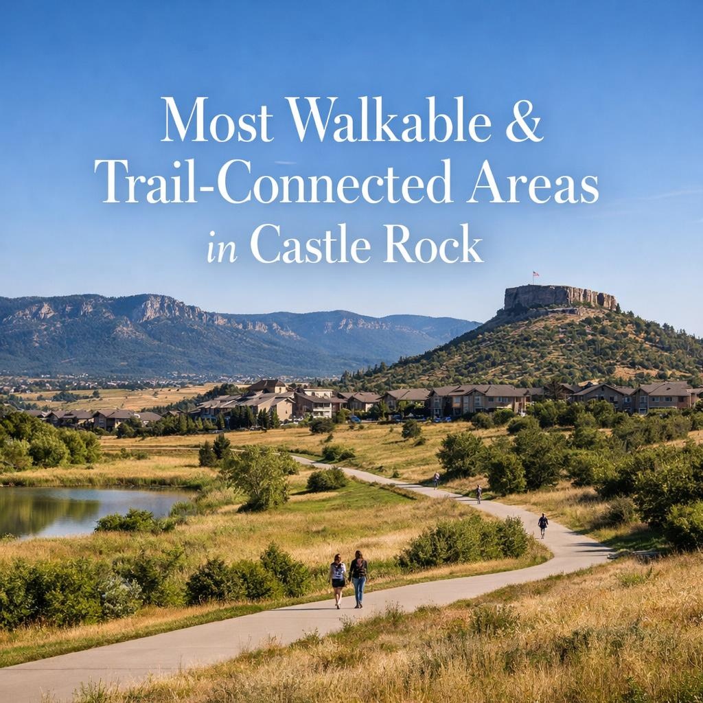
Most Walkable & Trail-Connected Areas in Castle Rock
Castle Rock’s walkable enclaves and trail networks reduce reliance on cars for Douglas County commuters navigating I-25 congestion toward DTC jobs, blending pedestrian access to Meadows schools, Outlets shopping, and 12,000 acres open space amid 2025’s stabilizing market. Downtown cores with 70+ walk scores offer $650,000 Craftsman bungalows near RTD FlexRide, offsetting $1,400 annual vehicle costs while preserving equity in brick stock resilient to Front Range hail. These areas suit families prioritizing convenience over suburban sprawl, as balanced inventory favors trail-adjacent purchases commanding 6% premiums in a town balancing growth with preserved ridgelines.
Downtown Castle Rock: Historic Core Walkability
The historic downtown around 3rd Street delivers walk scores exceeding 80, placing $600,000-$700,000 bungalows and townhomes 0.2 miles from Wilcox Street shops, breweries, and Castle Rock Elementary (8/10 rating). Tree-lined blocks with brick sidewalks cleared by town crews lead to the namesake rock formation overlook, easing errands during short Douglas County winters when plows prioritize arterials. Pre-1950 construction features covered porches buffering chinooks and south-facing stoops maximizing 300 sunny days for passive heating, stabilizing insurance at $2,800 yearly versus exposed foothills homes.
RTD FlexRide to Parker Road slashes DTC to 35 minutes, vital for hybrids avoiding I-25 backups peaking at 45 during rush. No-HOA freedom allows personal xeriscape without reviews, though metro district taps fund path lighting essential for evening strolls to festivals drawing comps 5% higher. Equity builds via low 2% turnover in a pocket where families hold 10+ years, compounding 4-5% appreciation from scarcity—downtown resisted 2023 softening better than peripheral tracts. These streets matter because pedestrian scale cuts gas $900 annually amid $3.60/gallon volatility, future-proofing against EV mandates while walkability correlates with 8% faster resales in balanced 3-month inventory.
Founders Village: Mixed-Use Trails and Schools
Founders Village combines 65-75 walk scores with $675,000 ranches 0.4 miles from Sage Canyon Elementary (9/10) and Butterfield Crossing Park trails linking to Castlewood Canyon. Developed 1990s-2000s, 2,800 sq ft homes on 0.2 acres feature attached garages suiting no-SUV needs and basements for gear storage in dry climates prone to 90°F summers. HOA $400 maintains lit paths cleared reliably, connecting to Outlets shopping 1 mile via sidewalk—practical for families testing 28-minute DTC via Founders Parkway.
South-facing windows and low-e glass trim $2,200 heating bills at 6,200 feet, offsetting 0.6% tax rates yielding $4,000 annually dominated by school levies funding top-quartile districts. Trail adjacency boosts appraisals 4%, as buyers verify soils pre-offer avoiding clay shifts post-monsoon—proven slabs here outperform raw land. Low crime and 75% owner-occupancy foster cohesion, with resale edges from rec center proximity easing after-school logistics without cars. This integration matters for equity, as trail comps hold firmer in corrections, delivering 5% compounded returns for holders navigating rate cycles at 6.25%.
Terrain: Luxury Trails with Elevated Access
Terrain’s gated enclave offers 70 walk scores for $1.1M contemporaries on 0.5 acres directly abutting Dawson Butte trails, suiting executives with 30-minute I-25 to DTC and Peña smart lanes to DIA. Built 2010s, 4,000 sq ft plans include main-level masters and smart elevators for aging-in-place, with steel roofs defying hail and geothermal trimming $4,000 utilities yearly. HOA $1,200 funds private gates and path grooming, ensuring snowy access to 500 acres open space buffering microbursts.
Proximity to Rock Ridge High (9/10) draws relocators modeling $28K costs beyond price, where wildfire riders add $1,500 insurance despite defensible natives. Elevated lots avoid floodplains near Plum Creek, with views commanding 7% premiums in luxury scarcity—cash closes 35% here amid 50-day medians. Walkability to viewpoints enhances perceived value, shortening timelines 12 days versus isolated estates, while low density preserves privacy compounding land banks. These features align buyer psychology chasing resilience over flash, hedging metro volatility through trail-anchored stability.
| Area | Walk Score | Median Price | Key Trail Connection | DTC Commute |
|---|---|---|---|---|
| Downtown | 80+ | $650K | Wilcox Paths | 35 min RTD |
| Founders Village | 65-75 | $675K | Butterfield Park | 28 min |
| Terrain | 70 | $1.1M | Dawson Butte | 30 min I-25 |
Ownership Cost Benefits of Connectivity
Walkable cores trim $1,400 vehicle wear and $800 gas, with south-facing solar rebates now incentivized cutting $2,500 bills—downtown natives comply easiest sans HOA fines. Taxes average $4,200 at 0.6% effective, school-heavy but stable via caps; insurance $2,800 favors brick over stucco cracking in gusts. Reserves 1% value ($7K on $700K) fund roofs every 15 years, offset by trail-shared maintenance easing personal mowers during drought tiers.
Buyer Dynamics in Pedestrian Pockets
Families prioritize schools/trails over garages; professionals test rush-hour I-25, valuing FlexRide. Relocators undervalue paths initially but pay 6% for lifestyle integration, leaving negotiation in 45-day medians. Balanced supply grants inspections for radon at elevation.
Market Resilience from Access
Trail comps appreciate 5% faster; downtown held 2% better in 2024 dips. Growth sustains demand as DTC jobs expand radii.
Conclusion
Downtown Castle Rock, Founders Village, and Terrain excel via walkability and trails tailored to commute realities and climate demands. Savings compound equity; selections minimize risks. These enclaves position buyers for enduring Douglas County value.
Ready to explore Castle Rock connectivity? Contact a specialist for trail comps and tours.


Aurora Southlands Living For Aerospace And Defense Families
This is part of Lockheed Martin Relocation → [Lockheed Martin Relocation Hub] & the larger Denver Relocation Hub → [Denver Relocation Hub] Written by: Chad Cabalka Relocating to Denver for Lockheed Martin changes the home search fast, because Waterton Canyon is not the kind of campus you casually “figure out later.” The southwest metro drives the whole…
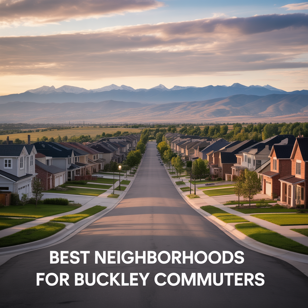
Best Neighborhoods For Buckley Space Force Base Commuters
This is part of Lockheed Martin Relocation → [Lockheed Martin Relocation Hub] & the larger Denver Relocation Hub → [Denver Relocation Hub] Written by: Chad Cabalka If Buckley Space Force Base is the anchor of your move, the best neighborhoods are usually in east and southeast Aurora, with the strongest practical options around Southlands, Murphy Creek, East…
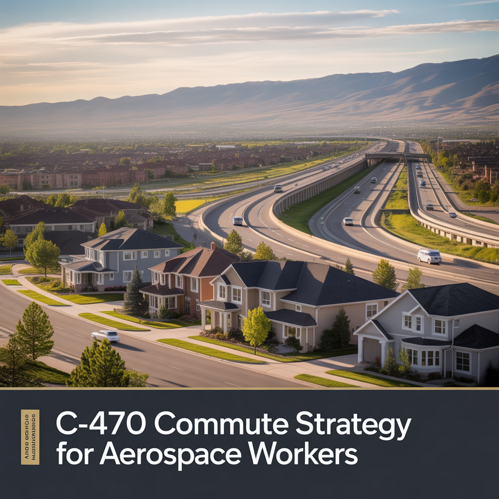
C-470 Commuting Strategy For South Denver Aerospace Workers
This is part of Lockheed Martin Relocation → [Lockheed Martin Relocation Hub] & the larger Denver Relocation Hub → [Denver Relocation Hub] Written by: Chad Cabalka If you work at Waterton, split time between Waterton and the DTC, or live anywhere in the south metro with a Lockheed Martin paycheck attached to it, C-470 is the corridor…