


Mesa Lifestyle Guide → [Mesa Lifestyle Guide] & For more info on Mesa Real Estate → [Mesa Real Estate Guide]
Written by: Renee Burke
Mesa’s layout rewards smart routing for everyday errands — school runs, grocery grabs, park pitstops, and coffee detours that flow without fighting traffic or backtracking across our East Valley sprawl. I’ve mapped these loops with families during home searches, turning chaotic days into seamless circuits that respect feeder patterns, peak slowdowns, and neighborhood hubs. As your local guide who knows every signal and shortcut intimately, I’ll outline practical daily routes by area, blending efficiency with that calm rhythm families thrive on here.
These patterns cluster errands around Superstition Springs, Eastmark, downtown cores, and northeast pockets, minimizing drive time to under 30 minutes total.
West Mesa/Dobson Ranch: Superstition Springs Circuit
Start mornings in Dobson Ranch with a 7 a.m. school drop-off loop — Brisas or Meridian elementaries to Taylor Junior High via Dobson Road (avoid US-60 pre-8 a.m.). Swing north on Stapley to Superstution Springs Center for Trader Joe’s produce and Target diapers, then east on Southern Avenue for Walgreens meds — 10 minutes flat, shaded parking galore.
Afternoons reverse: 3 p.m. pickup via Alma School (pre-rush), hit Sprouts Farmers Market on Baseline for dinner proteins, then Pioneer Park splash pad if kids need burn-off. Evenings circle O’Kelley’s Sports Bar for takeout wings en route home — total 4-mile loop keeps you under peak Higley backups.
Eastmark/Cadence East: Power Road Power Loop
Eastmark’s master-planned flow shines for self-contained days — 6:45 a.m. BASIS drop-offs via Ellsworth to Power Road, then south 2 minutes to Fry’s Marketplace for bulk Costco runs (monthly). Noon lunches at Glasshouse market pair with Audain Park playground breaks, no freeway needed.
Afternoons (3:30 p.m.): Power north to CVS at Signal Butte, swing east on Williams Field for Ace Hardware odds-and-ends, then Newton Park popsicles. Evenings hit Postino wine bar for date-night apps before fire-pit unwind — 5-mile radius, walkable chunks, dodging Loop 202 Higley merge entirely.
Downtown/Fiesta District: Main Street Grid Glide
Downtown’s walkable core simplifies urban errands — 8 a.m. Main Street coffee at Cartel Roasting flows to Mesa Arts Center library books, then south on Horne to Fiesta District’s Green Corner falafel lunch (halal kid options). Pick up produce at farmers market Wednesdays, meds at Walgreens on University.
Afternoons weave to Porter Park playground via Center Street, grabbing Vito’s Pizza dinner on return. Evenings? Tacos Chiwas takeout steps from home lofts — under 3 miles total, timed pre-4 p.m. Main Street school release snags.
Red Mountain Ranch/Las Sendas: Northeast Apache Trail Arc
Northeast enclaves orbit Apache Trail for rugged efficiency — 7:15 a.m. Zaharis Elementary via Ellsworth, north to Safeway at Red Mountain for morning staples, then Las Sendas trailside coffee detour. Midday Bashas’ on Signal Butte stocks organics, with Red Mountain Park fields for lunch kickball.
Post-3 p.m. pickup reverses south on Higley (pre-peak), Ace Hardware at Apache for grill propane, then Phantom Labs brews for growlers. Evenings loop Usery Mountain entry for quick hikes homeward — 7-mile circuit, mountain views bonus.
Tradeoffs: Efficiency vs Exploration
Clustered routes save 20-30 minutes daily versus crisscrossing — West Mesa prioritizes speed near US-60 feeders; Eastmark walkability cuts cars; downtown grids spark spontaneity. Drawbacks? Eastside feels isolated from Fiesta food trucks; northeast Apache monsoons flood seasonally. Apps like Google Maps optimize real-time, AZ511 flags construction.
| Area | Morning Loop (Schools/Groceries) | Afternoon Add-Ons (Parks/Pharmacies) | Evening Close (Dinner/Fuel) |
|---|---|---|---|
| Dobson Ranch | Dobson-Taylor-Sprouts | Alma-Alma Park-Walgreens | Southern-O’Kelleys |
| Eastmark | Ellsworth-Power-Fry’s | Signal Butte-CVS-Newton | Postino-Glasshouse |
| Downtown | Main-Cartel-Green Corner | Horne-Porter-Walgreens | Chiwas-Vito’s |
| Red Mtn | Ellsworth-Zaharis-Safeway | Apache-Red Mtn Park-Ace | Phantom-Usery |
Growth adds 2026 Fry’s expansions, easing east-side loads.
Why Routing Matters for Mesa Homes
Efficient loops foster family flow — school-to-splash in 10 minutes builds playground bonds, resale favors Superstition proximity. Families fear “spread-out sprawl”? Clusters prove otherwise; test routes on tours.
Your Seamless Mesa Day
Mesa’s errand routes turn chores into gentle glides — neighborhood hubs making every stop feel like part of home.
If you’re mapping a Mesa move and want daily circuits that sync with schools, shops, and parks, you don’t have to figure it out alone. I’ve optimized these flows for families like yours, aligning addresses to days that hum.
Reach out anytime — let’s route your East Valley life smoothly. Here, errands aren’t rushes; they’re rhythms.
Get the full Phoenix Market Insights → [Market Insights]

-

Airport Access, Weekend Getaways, and Drive-Time Lifestyle: The Hidden Map of Phoenix
-

School Drop-Off + Work Commute in Phoenix: How to Test the Morning Reality Before You Buy
-

Living Near Scottsdale vs Working in Phoenix: The Daily Tradeoffs (and Smarter Alternatives)
-
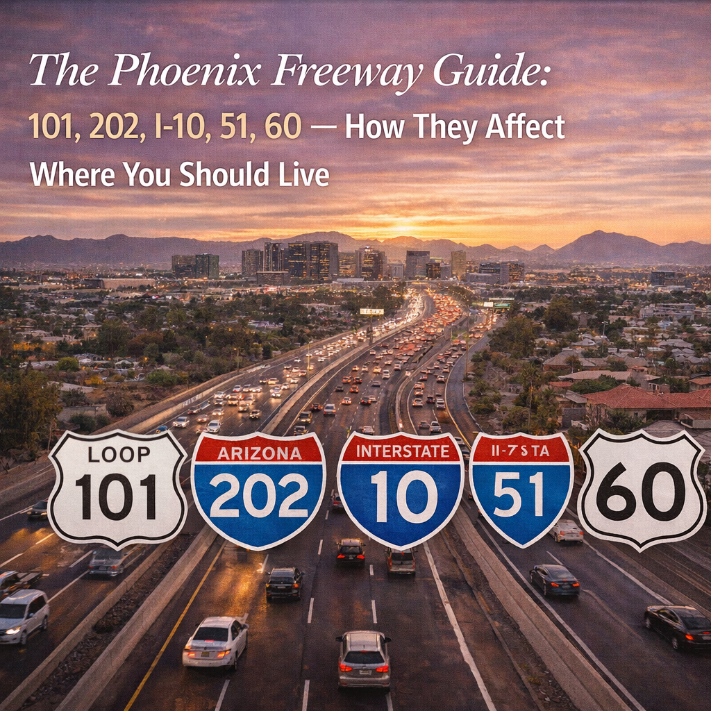
The Phoenix Freeway Guide: 101, 202, I-10, 51, 60 — How They Affect Where You Should Live
-

Phoenix Commute Reality: What Google Maps Doesn’t Tell You About Peak Traffic
-

Indoor-Outdoor Living in Phoenix: Why Some Backyards Get Used and Others Don’t
-

Pool vs No Pool in Phoenix: Lifestyle Value, Maintenance Reality, and Resale Impact
-

AC, Insulation, Windows, Shade: What Matters Most for Phoenix Comfort and Utility Bills
-
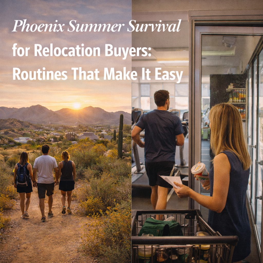
Phoenix Summer Survival for Relocation Buyers: Routines That Make It Easy
-

The “Saturday Test”: How to Tour Phoenix Like a Local Instead of a Tourist
-
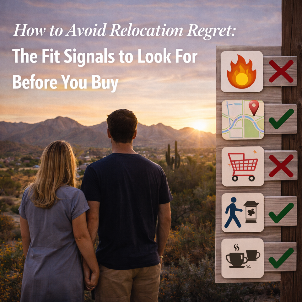
How to Avoid Relocation Regret: The Fit Signals to Look For Before You Buy
-

Old Town Scottsdale, Arcadia, Downtown Phoenix: How the “Vibe” Changes Block by Block
-

Urban vs Suburban Phoenix: The Tradeoffs That Surprise Relocation Buyers
-

Phoenix Lifestyle Archetypes: Which Neighborhoods Match How You Actually Live
-

The Phoenix “Lifestyle Checklist”: Walkability, Gyms, Trails, Schools, Parks, and Daily Errands
-

Commute Corridors in Phoenix: The Routes That Quietly Decide Your Quality of Life
-
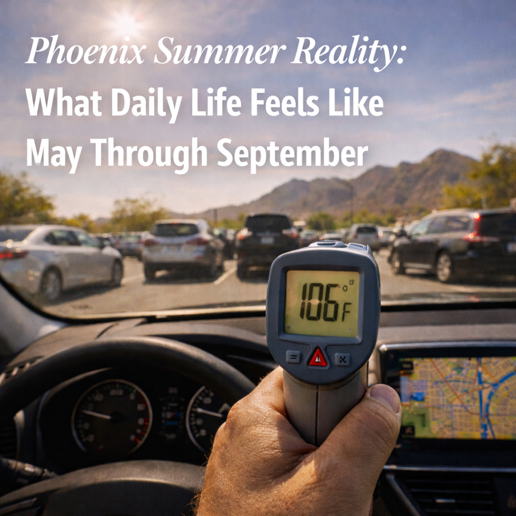
Phoenix Summer Reality: What Daily Life Feels Like May Through September
-
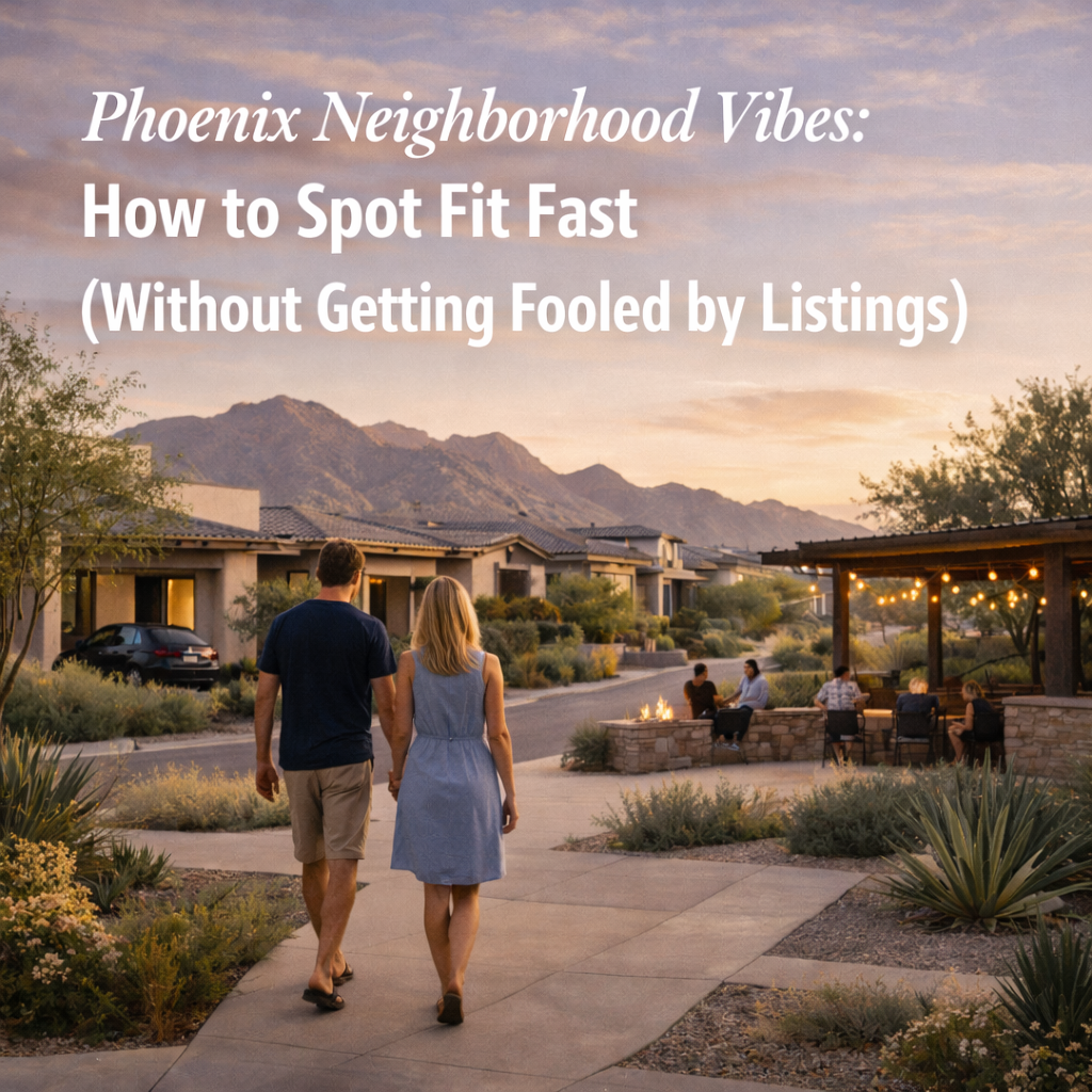
Phoenix Neighborhood Vibes: How to Spot Fit Fast (Without Getting Fooled by Listings)
-

Relocating to Phoenix: How to Evaluate Lifestyle Fit Before You Commit
-

What if the vibe is wrong — even if the house is perfect?
-
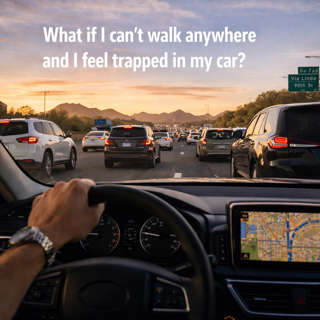
What if I can’t walk anywhere and I feel trapped in my car?
-
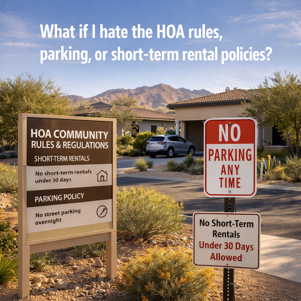
What if I hate the HOA rules, parking, or short-term rental policies?
-

What if the neighborhood feels isolated — or I can’t build community?
-

What if the commute is worse than it looks on Google Maps?
-

What If the Summer Heat Changes My Entire Routine?