


Mesa Lifestyle Guide → [Mesa Lifestyle Guide] & For more info on Mesa Real Estate → [Mesa Real Estate Guide]
Written by: Renee Burke
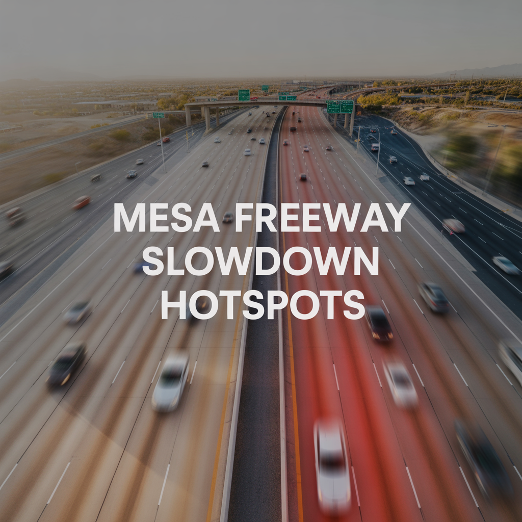
Mesa’s freeways see predictable bottlenecks where East Valley life converges — school shuttles, airport runs, and Phoenix commutes creating daily pinch points that savvy locals plan around. I’ve guided families through these slowdowns during home tours, timing showings to avoid the crush and helping them choose neighborhoods with smoother escapes. As your East Valley insider, I’ll map the chronic hotspots on US-60, Loop 202, and their arterials, focusing on directions, times, and gentle strategies to keep your routine flowing.
These patterns stem from our growth — Eastmark expansions, Red Mountain Ranch traffic, and Superstition Springs shoppers — but alternatives always exist.
US-60 (Superstition Freeway): The Daily Workhorse
US-60 bears Mesa’s heaviest load, crawling westbound mornings (6:30-9 a.m.) from Signal Butte Road to Dobson Road as East Valley heads to Tempe offices and Sky Harbor. The Val Vista Drive interchange clogs worst, with merging Loop 202 traffic adding 20-30 minute backups for 8-mile spans.
Evenings reverse (3:30-6:30 p.m.), eastbound from Alma School to Power Road jamming with returnees, especially post-4 p.m. when Riverview Park lets out. Higley Road ramps flare as Red Mountain Ranch empties, while construction near Gilbert Road (ongoing into 2026) narrows lanes unpredictably.
Loop 202: East-West Squeeze Points
Loop 202 southbound mornings (6-8:30 a.m.) slow from Phoenix into Mesa at Higley and Power Road exits, funneling Eastmark commuters to US-60. The Ellsworth Road merge backs up 15-25 minutes, blending with Gateway Airport arrivals.
Afternoon northbound (4-6 p.m.) peaks returning west, crawling near Val Vista where Chandler-Gilbert joins, extended by 2026 widening projects between SR 101 and Val Vista. These stretches steal 10-20 minutes but offer frontage road bypasses like Williams Field Road.
Key Arterial Freeway Feeds
Mesa’s surface streets amplify freeway woes:
- Power Road: Southbound AM to Loop 202 (6:30-8 a.m.), northbound PM from US-60 (4:30-6 p.m.) — Eastmark’s main vein, clotted by school traffic near Signal Butte.
- Higley Road: South to US-60 mornings, north evenings — Red Mountain Ranch hotspot, worsened by Apache Trail overlaps.
- Ellsworth/Lindsay: Morning southbound ramps, evening north — Dobson Ranch feeders merging into US-60 chaos.
- Main Street/US-60 Underspass: Both peaks trap downtown/Fiesta drivers, stoplight backups spilling onto freeway entrances.
Weekends ease except Sloan Park game days (Power Road north) or farmers markets (Main Street).
2026 Construction Amplifiers
Ongoing projects intensify slowdowns: Loop 202 widening (SR 101-Val Vista) brings overnight closures and lane shifts through spring 2027, while US-60 HOV ramp tweaks near Dobson add merges. Gateway’s SR 24 extension promises future relief but disrupts Apache interchanges now. Check AZ511 for real-time, as monsoon-season rubbernecking spikes everything.
Tradeoffs and Escape Routes
Hotspots trade convenience for capacity — US-60’s directness costs time, but parallels like Southern Avenue (US-60 shadow) shave 10-15 minutes. Loop 202 HOV lanes speed carpools; bike paths near canals dodge all. Homes near quieter Meridian or Stapley hold appeal for minimal merges.
| Hotspot | Peak Times/Direction | Typical Delay | Best Alternate |
|---|---|---|---|
| US-60 Val Vista | AM West, PM East | 20-30 min | Southern Ave |
| Loop 202 Higley | AM South, PM North | 15-25 min | Williams Field/Gilbert |
| Power Rd Ramps | AM South, PM North | 10-20 min | Meridian/Signal Butte |
| Higley/US-60 | Both peaks | 15 min | Ellsworth parallels |
Weaving Around with Mesa Life
Time showings post-peak, carpool school runs, or pick Eastmark walkability to cut drives. These hotspots signal strong neighborhoods — proximity to jobs boosts resale despite backups.
If you’re navigating a Mesa move and want to sidestep freeway frustrations around work or parks, you don’t have to figure it out alone. I’ve mapped smoother paths for families like yours, aligning homes with roads that cooperate.
Reach out anytime — let’s find your calm commute. Here in the East Valley, even slowdowns lead home.
Get the full Phoenix Market Insights → [Market Insights]

-
Season Shifts in Outdoor Time in Chandler
-

Seasonal Crowding and Tourism in Chandler
-
Summer Livability Differences in Chandler
-
Areas That Feel “Always On” Chandler
-

Parking and Rideshare Realities Chandler
-
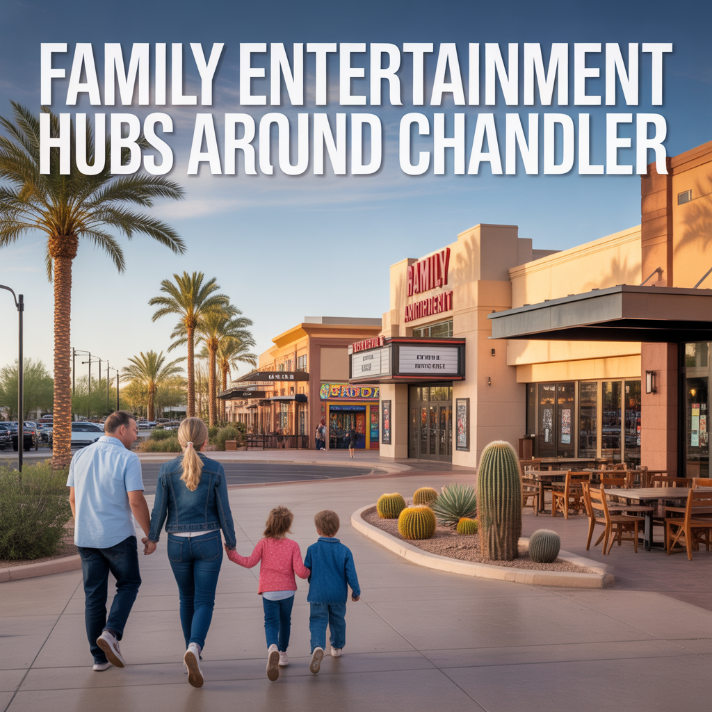
Family Entertainment Hubs Around Chandler
-

Chandler Late‑Night Hotspots vs Quiet Pockets
-
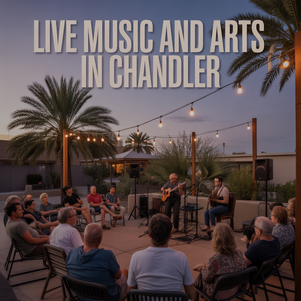
Live Music and Arts in Chandler
-
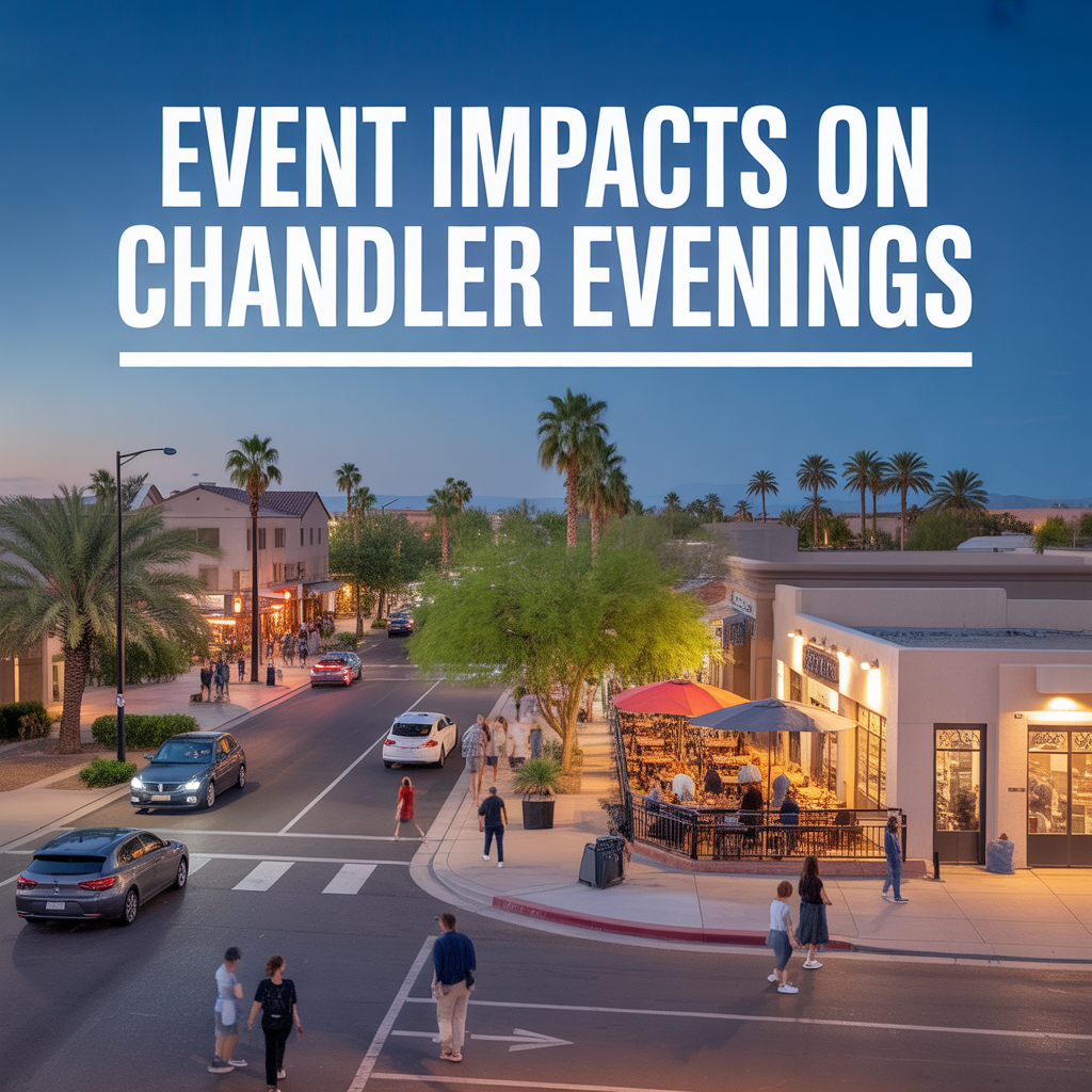
Event Impacts on Chandler Evenings
-
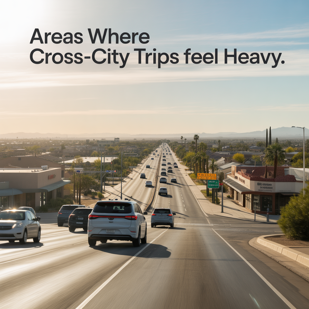
Areas Where Cross‑City Trips Feel Heavy
-
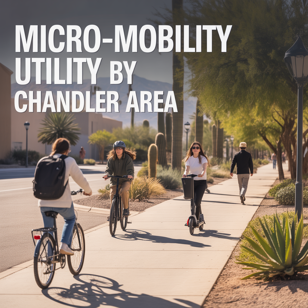
Micro‑Mobility Utility by Chandler Area
-
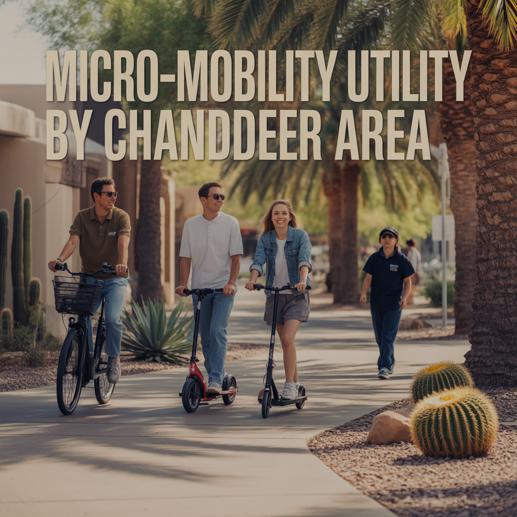
Micro‑Mobility Utility by Chandler Area
-
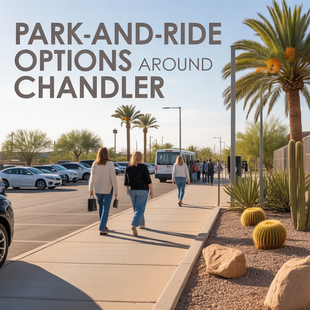
Park‑and‑Ride Options Around Chandler
-
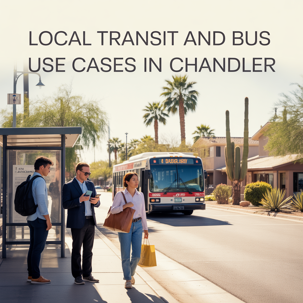
Local Transit and Bus Use Cases in Chandler
-
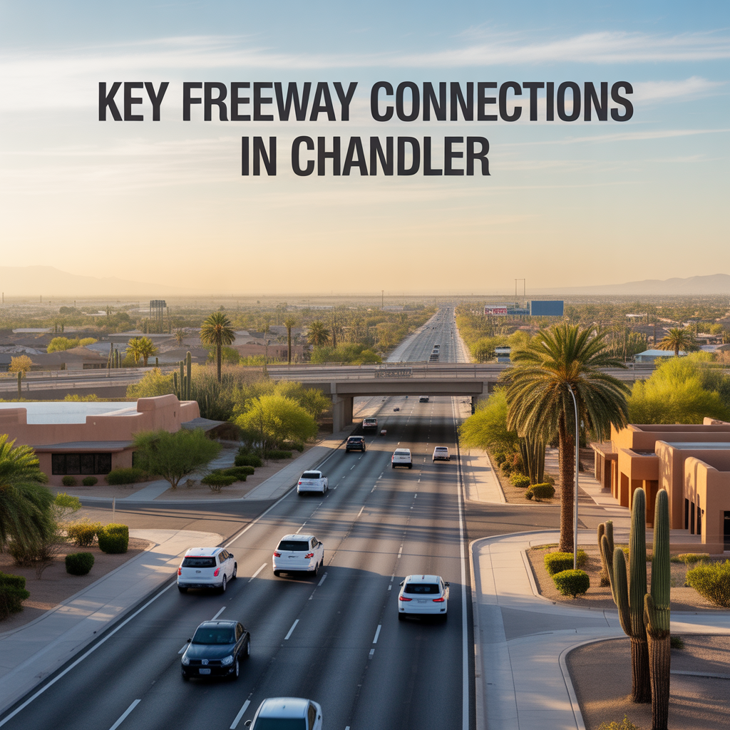
Key Freeway Connections in Chandler
-
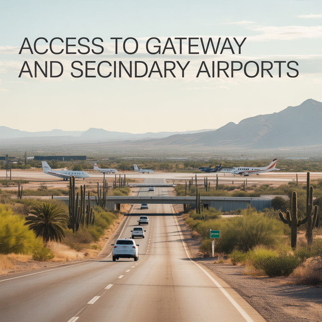
Access to Gateway and Secondary Airports
-

Real‑World Drive Times to Sky Harbor
-

How Congestion Shapes Chandler Routines
-

Tradeoffs of Living Farther South Chandler
-
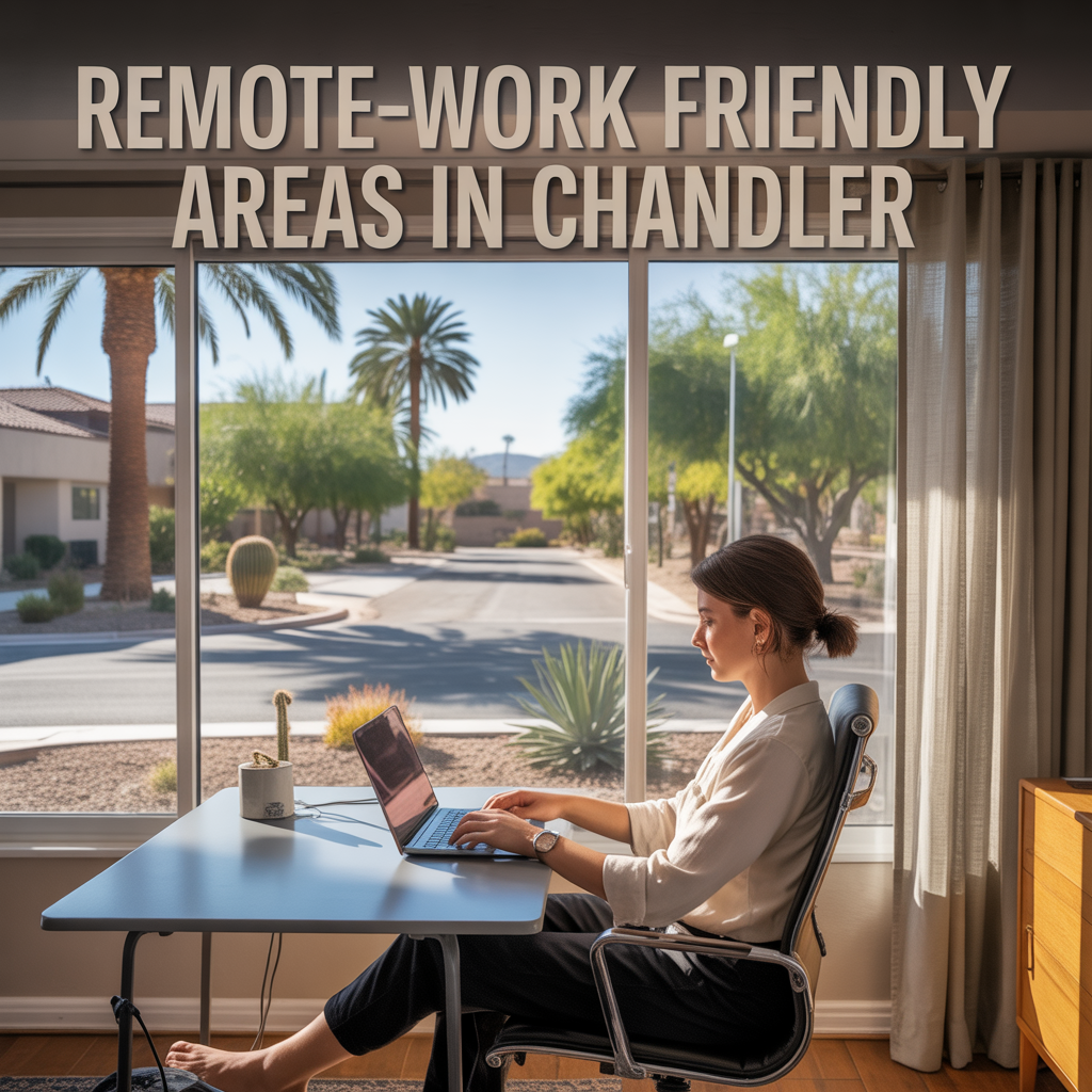
Remote‑Work Friendly Areas in Chandler
-
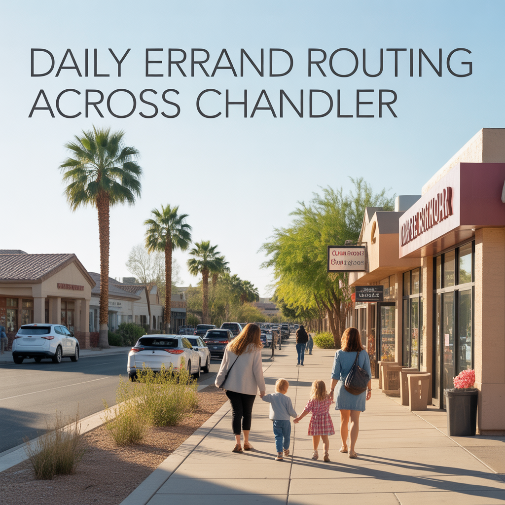
Daily Errand Routing Across Chandler
-
Reverse Commutes in Chandler Pros/Cons
-
Chandler Freeway Slowdown Hotspots
-
Peak Traffic Directions in Chandler
-
Season Shifts in Outdoor Time in Chandler