


Mesa Lifestyle Guide → [Mesa Lifestyle Guide] & For more info on Mesa Real Estate → [Mesa Real Estate Guide]
Written by: Renee Burke
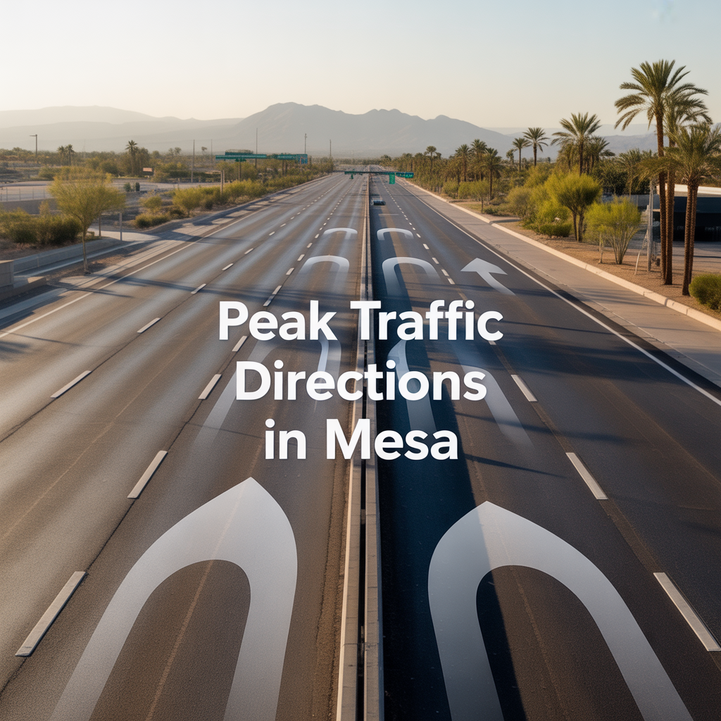
Mesa’s traffic follows the East Valley’s steady pulse, with predictable rush hours that families learn to navigate around school runs, soccer practices, and evening unwinds. Living and working these roads daily, I’ve helped countless clients time their home searches and commutes to sidestep the worst, turning potential frustration into smooth routines. As your trusted East Valley guide, I’ll break down the peak directions, hours, and smart paths — not just data points, but real-life flow that keeps your days calm and connected.
These patterns hold steady year-round, though summer school breaks and construction can nudge timings slightly.
Morning Rush: Westbound into Phoenix (6-9 a.m.)
Mesa’s morning peaks as families and workers head west toward Phoenix hubs — Sky Harbor Airport, downtown offices, and Tempe jobs — creating bottlenecks on key arterials. US-60 (Superstition Freeway) westbound crawls most between Alma School Road and Dobson Road, feeding into Loop 202 and I-10 merges. Expect 20-30 minute delays for 10-mile stretches, peaking sharpest at 7:30-8:30 a.m.
Ellsworth Road and Higley Road southbound fill with Red Mountain Ranch commuters hitting US-60 ramps, while Main Street downtown sees stoplight backups from east-side neighborhoods. Eastmark families joining the flow add volume to Power Road north to Loop 202. Pro tip: Signal Butte or Meridian Roads offer quieter parallels, shaving 10 minutes off the grind.
Evening Rush: Eastbound Homeward (3-6 p.m.)
Afternoons reverse the tide, with the worst snarl from 4-5 p.m. as Phoenix workers reclaim Mesa. US-60 eastbound jams hardest from I-10 through Tempe into Mesa, especially Val Vista to Signal Butte where Superstition Springs shoppers pile on. Loop 202 southbound from Phoenix crawls near Higley, funneling into Ellsworth and Stapley for Dobson Ranch drop-offs.
Power Road and Higley south from Loop 202 thicken with Eastmark returns, while Apache Trail eastbound backs up near Red Mountain Park soccer traffic. Downtown Main Street flips congested post-3 p.m. school releases, blending with Fiesta District errands. Summer eases slightly with early dismissals, but freight trucks amplify 4 p.m. peaks.
Key Hotspots and Directions by Neighborhood
Mesa’s geography creates directional chokepoints tied to neighborhoods:
- Eastmark/Cadence East: Power Road south (morning out), north (evening home) — Loop 202 ramps bottleneck both ways.
- Dobson Ranch/Superstition Springs: US-60 west (AM), east (PM) via Dobson/Alma School; Riverview Park adds afternoon loops.
- Red Mountain Ranch/Las Sendas: Ellsworth south to US-60 (AM west), reverse PM; Apache east clogs evenings.
- Downtown/Fiesta: Main Street/Main Ave gridlock both peaks; University Drive westbound mornings worst.
Weekends soften dramatically, save Saturday farmers markets or Cubs games at Sloan Park spiking Power Road.
Tradeoffs: Delays vs Alternatives
Rush hours steal 15-30 minutes daily on main drags, but Mesa’s grid offers escapes — surface streets like Southern Avenue parallel US-60 calmer, while bike paths and Valley Metro Rail (Mesa to Tempe in 20 minutes) dodge cars entirely. Apps like AZ511 or Waze predict ripples from I-10 freight.
| Time/Direction | Worst Roads | Delay (10 mi) | Neighborhood Impact |
|---|---|---|---|
| AM Westbound | US-60, Ellsworth S | 20-30 min | Eastmark, Red Mtn |
| PM Eastbound | US-60, Power N, Higley | 25-35 min | Dobson, Superstition |
| School Overlap | Main St, Stapley | 15-20 min | Downtown/Fiesta |
Growth adds Loop 202 expansions by 2026, but peaks persist — homes near quieter arterials like Meridian hold appeal for sanity.
Blending Traffic with Mesa Living
Smart families time around it: 5:30 a.m. walks before roads wake, 6:30 p.m. park picnics post-peak. Eastmark’s walkability minimizes drives; northeast ranches favor carpool lanes. Resale favors low-commute pockets — Dobson near US-60 sells fast despite backups, thanks to rail access.
Fears of gridlock? It’s milder than Phoenix proper (Mesa ranks faster commutes), and flex hours post-pandemic ease loads.
Navigating Your Mesa Flow
Mesa’s peaks are predictable — west mornings, east evenings — leaving plenty of calm for trails, tacos, and family time.
If you’re eyeing a Mesa move and want to map traffic around your work, schools, or parks, you don’t have to figure it out alone. I’ve guided families through these flows for years, aligning homes with roads that cooperate.
Reach out anytime — let’s chart a path that keeps your East Valley days smooth. Here, even rush hour bends to thoughtful living.
Get the full Phoenix Market Insights → [Market Insights]

-

Signs Your Phoenix Roof Needs Inspection or Repair
-

How Long Tile Roofs and Roof Underlayment Last in Phoenix
-
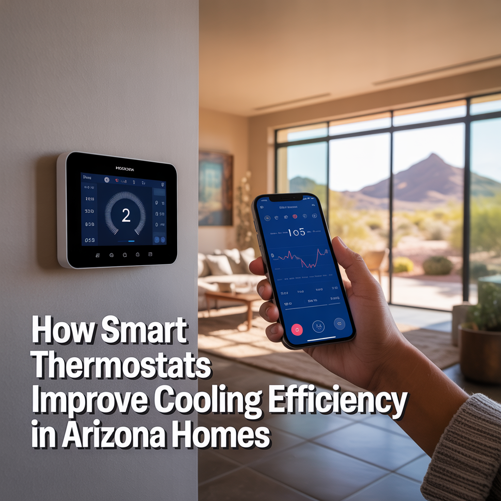
How Smart Thermostats Improve Cooling Efficiency in Arizona Homes
-

Why AC Systems Struggle During Extreme Phoenix Heat Waves
-
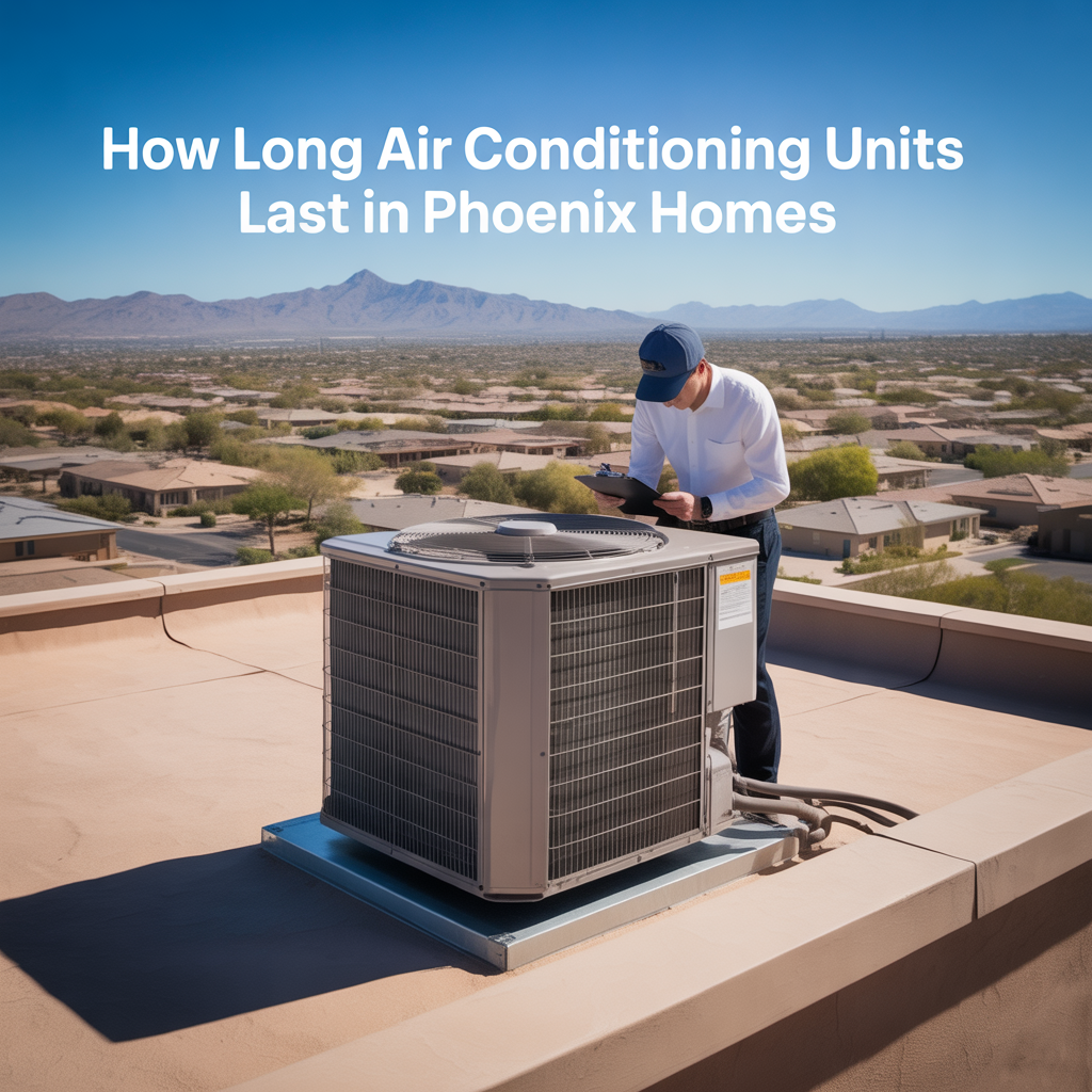
How Long Air Conditioning Units Last in Phoenix Homes
-

Warning Signs Your Air Conditioner Is About to Fail
-

How Often Phoenix AC Systems Need Maintenance
-
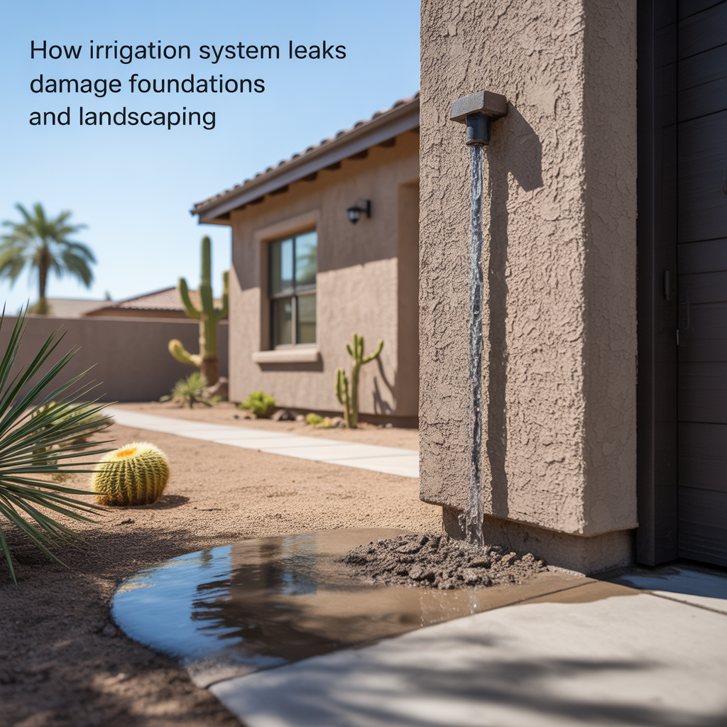
How Irrigation System Leaks Damage Foundations and Landscaping
-
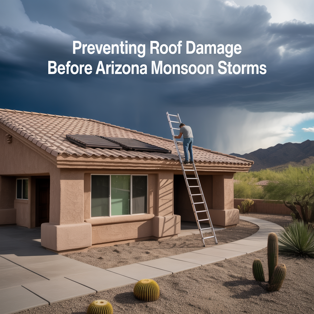
Preventing Roof Damage Before Arizona Monsoon Storms
-

Why AC Tune-Ups Are Critical for Phoenix Homes
-

What Homeowners Should Inspect Before Phoenix Summer Heat Arrives
-

Seasonal Home Maintenance Checklist for Phoenix Homeowners
-
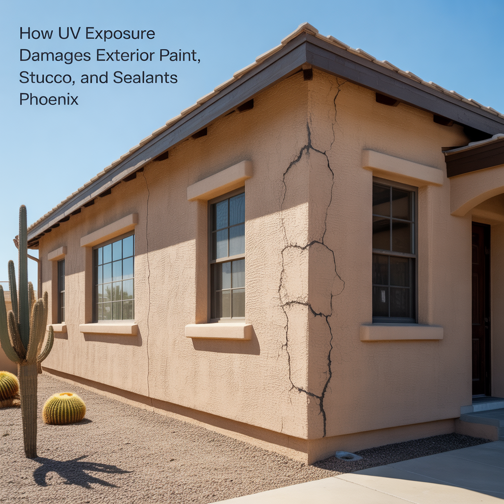
How UV Exposure Damages Exterior Paint, Stucco, and Sealants
-

How Extreme Heat Shortens the Lifespan of Home Systems
-
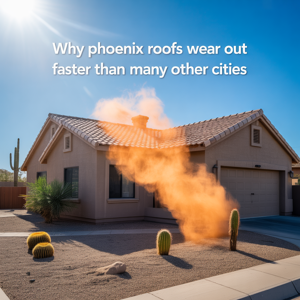
Why Phoenix Roofs Wear Out Faster Than Many Other Cities
-
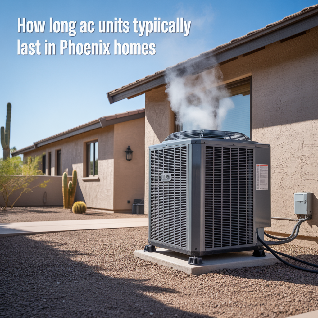
How Long AC Units Typically Last in Phoenix Homes
-

Building a Long-Term Protection Strategy
-

How Small Repairs Prevent Larger Problems
-

Protecting Older Phoenix Homes
-
Warning Signs of Hidden Home Risks
-

Preventative Maintenance That Reduces Insurance Claims
-

Reducing Liability Exposure Around Your Property
-

Liability Coverage Limits Explained
-

When Umbrella Insurance Makes Sense
-

Protecting Yourself From Guest Injury Claims