


Phoenix Lifestyle Guide → [Phoenix Lifestyle Guide] & For more info on Phoenix Real Estate → [Phoenix Real Estate Guide]
Written by: Renee Burke
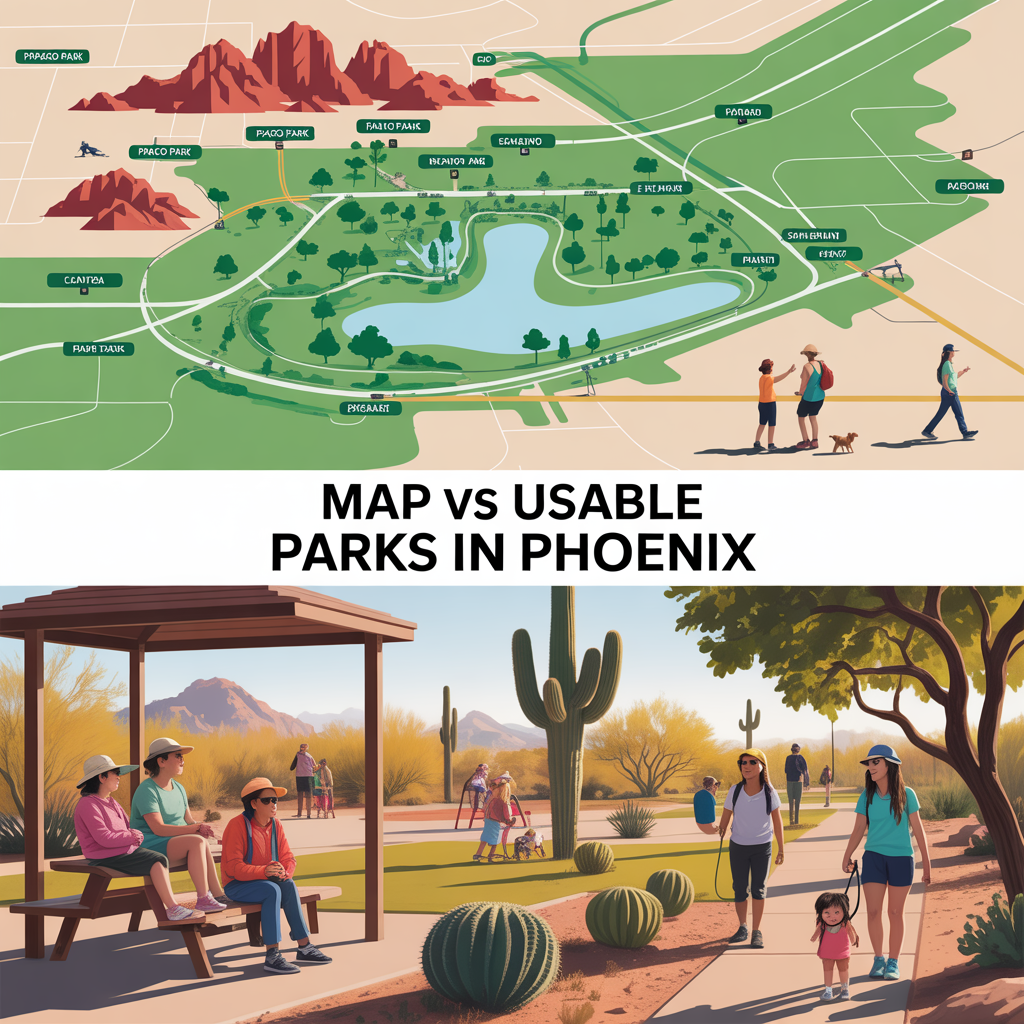
On paper, Phoenix looks like a park lover’s dream — dots scattered across the map, acres of desert preserves, and trailheads wrapped around the city in every direction. But when you’re actually living here day to day, you learn quickly that there’s a big difference between a park that shows up on a map and a park you’ll truly use with your kids, your dog, or a cup of coffee on a Sunday morning.
The Map: What Phoenix Technically Offers
Phoenix’s parks and recreation story is impressive from a pure numbers standpoint. The city maintains more than 41,000 acres of desert parks and mountain preserves, over 200 miles of trails, and roughly 180–190 city parks, plus community centers, pools, and golf courses. On top of that, there are hundreds of mapped “local parks” and open spaces in broader datasets that capture everything from tiny pocket parks to major regional destinations.
When you pull up the city’s official parks map, you’ll see:
- Neighborhood, community, and regional parks dotted through most parts of Phoenix.
- Huge natural areas like South Mountain Park, Phoenix Mountains Preserve, and Papago Park wrapping around core neighborhoods.
- Layers for things like playgrounds, dog parks, splash pads, sports complexes, and pools if you dig into the city’s open data.
From a high level, it looks like you’re never far from “something green” — and in a technical sense, that’s true.
Usable Parks: Where Life Actually Happens
But here’s the quiet reality I walk clients through all the time: not every dot is going to matter to your daily life. Some mapped parks are mostly retention basins with a patch of grass and no shade. Others are narrow strips of turf along a busy road that you’ll never feel relaxed letting your kids run in.
When we talk about usable parks in Phoenix, we’re usually looking for:
- Shade that actually makes summer visits possible (mature trees, ramadas, or covered play).
- Restrooms and drinking fountains so you’re not cutting every visit short.
- Play structures, courts, or open fields that match your family’s season of life.
- Safe access without crossing multi-lane arterials on foot.
- A feeling of comfort — enough people that it feels active, but not so packed it’s overwhelming.
Meanwhile, many of the city’s “green” spaces function more as drainage, utility corridors, or passive turf, even though they count on statistics and maps. Those may help the neighborhood’s look and feel, but they don’t always become part of your weekly routine.
Phoenix’s Signature Advantage: Preserves vs Pocket Parks
Phoenix is unusual in that so much of its park story is tied to mountain and desert preserves rather than just urban lawns. The city’s desert parks and preserves cover tens of thousands of acres, with well over 200 miles of trails connecting hikers, runners, and mountain bikers to the Sonoran landscape.
That gives you two very different types of “park access”:
- Big adventure access: South Mountain Park, Phoenix Mountains Preserve, Papago Park, and other large preserves give you serious hiking, views, and trail networks within minutes of many neighborhoods.
- Everyday convenience access: Neighborhood and community parks with playgrounds, splash pads, fields, and picnic areas for quick after‑school runs or early morning dog walks.
On a map, they’re all represented as “parks,” but they serve completely different purposes. A home five minutes from a major trailhead offers amazing weekend adventure, while a home backing to a shaded neighborhood park may better serve families with strollers and soccer balls.
What Buyers Often Misread on the Map
When you’re searching online from out of state — or even just from another part of the Valley — it’s easy to assume that any nearby green dot is a win. But there are a few common misconceptions I see over and over:
- “There are three parks within a mile — this must be super walkable.”
Some of those may be undeveloped parcels, retention basins, or narrow strips along busy roads. The walk might not feel stroller‑friendly or kid‑safe. - “We’re close to a preserve, so we’re set for daily outdoor time.”
Trailheads are incredible for hikes, but they don’t replace shaded playgrounds, grass fields, or splash pads for younger kids. - “Every park offers similar amenities.”
In reality, amenities vary widely. Some have courts, dog areas, and ramadas, while others are just turf or desert with minimal infrastructure.
Paper access and usable access are two different layers of the same puzzle. The goal is to match the kind of outdoor time you actually crave with the parks you’re realistically going to visit several times a week.
Neighborhood Feel: How Parks Shape Daily Life
One thing Phoenix has been intentional about is supporting “clean, safe and accessible parks and recreational facilities that meet the needs of neighborhoods,” and building a network of shared-use trails and pathways connecting parks and preserves. That intention shows up in subtle but meaningful ways:
- Linear parks and canals that quietly turn into daily walk/bike routes.
- Community centers, pools, and recreation programming that make certain parks true hubs of activity.
- Trailed connections between preserves and neighborhoods, giving you options beyond just driving and parking.
In practice, that means two homes the same distance from a “park” can offer very different lifestyles. One might back to a quiet linear greenbelt that you’ll walk every evening; another might technically be near a park that’s hard to reach on foot or doesn’t feel like a natural gathering spot.
How I Help Clients Read Between the Dots
When I’m advising buyers who care deeply about outdoor access, we go beyond the pretty map and dig into questions like:
- Do you picture yourselves using playgrounds, splash pads, or sports courts several times a week?
- Are mountain trails a weekend adventure or a daily ritual?
- Do you want dog‑park access, or is a shaded walking loop more your style?
- How comfortable are you walking along or crossing busier arterials?
Then we layer that against what Phoenix actually offers in that pocket:
- Which nearby parks have real amenities, shade, and restrooms.
- How close you are to real desert preserves versus smaller turf parks.
- Whether the closest green spaces are fully developed parks or future/utility land.
Sometimes, that leads a family to a neighborhood steps from a true community park with fields, courts, and a pool. Other times, it means choosing a home in a quieter area but ten minutes from a major trailhead, because sunrise hikes are what refill their tank.
What This Means If You’re Planning a Move
If you’re looking at Phoenix from a spreadsheet, the park system looks outstanding — and in many ways, it truly is. The city’s vast preserves, trail networks, and layers of parks give you a lot of options to build an outdoor‑forward lifestyle. But the real magic happens when we translate that from dots and acreage into your specific daily habits: morning walks, evening playground visits, weekend hikes, and spontaneous picnics.
That’s where “map parks” either step up as true extensions of your backyard or quietly fade into the background of your life. The distinction isn’t something a listing or app will spell out for you — it comes from local experience and actually knowing how those spaces feel on a Tuesday evening in July or a crisp Saturday in January.
A Gentle Next Step
If you’re thinking about making a move in Phoenix and parks are high on your priority list, you don’t have to sort through all those dots alone. I spend a lot of time walking these neighborhoods, noting which parks are shaded, which trails are family‑friendly, and where outdoor spaces genuinely support everyday life — not just weekend outings.
Reach out when you’re ready, and we can look at specific areas together, zoom in on the real, usable green spaces, and match them to the way you actually live. If you’re thinking about making a move in Phoenix, you don’t have to figure it out alone. I’m here as your long‑term guide, helping you find a home where the parks on the map become the places you truly love.
Get the full Phoenix Market Insights → [Market Insights]


-
Shade Coverage and Tree Canopy Differences by Corridor
-

Summer Walkability Reality Near ASU and Mill Avenue
-

Choosing Proximity Based on Personality and Routine
-
How Tempe Town Lake Changes Social Routines
-
Family-Friendly Lake Events vs Adult Nightlife Patterns
-

Parking Structures and Rideshare Realities on Peak Nights
-
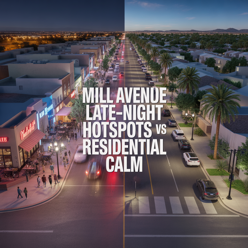
Mill Avenue Late-Night Hotspots vs Residential Calm
-

ASU Game Days and Event Calendar Impacts
-

Cross-Valley Trip Efficiency From Tempe
-
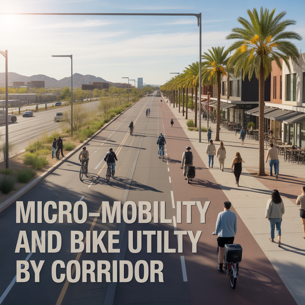
Micro-Mobility and Bike Utility by Corridor
-

Park-And-Ride, Game Day, and Event Access Patterns
-

Airport Timing Strategy Around ASU and Rush Hour Traffic
-

Light Rail Use Cases That Actually Improve Daily Life
-

Freeway vs Arterial Routing During Peak Windows
-

Real-World Drive Times to Sky Harbor From Different Tempe Pockets
-
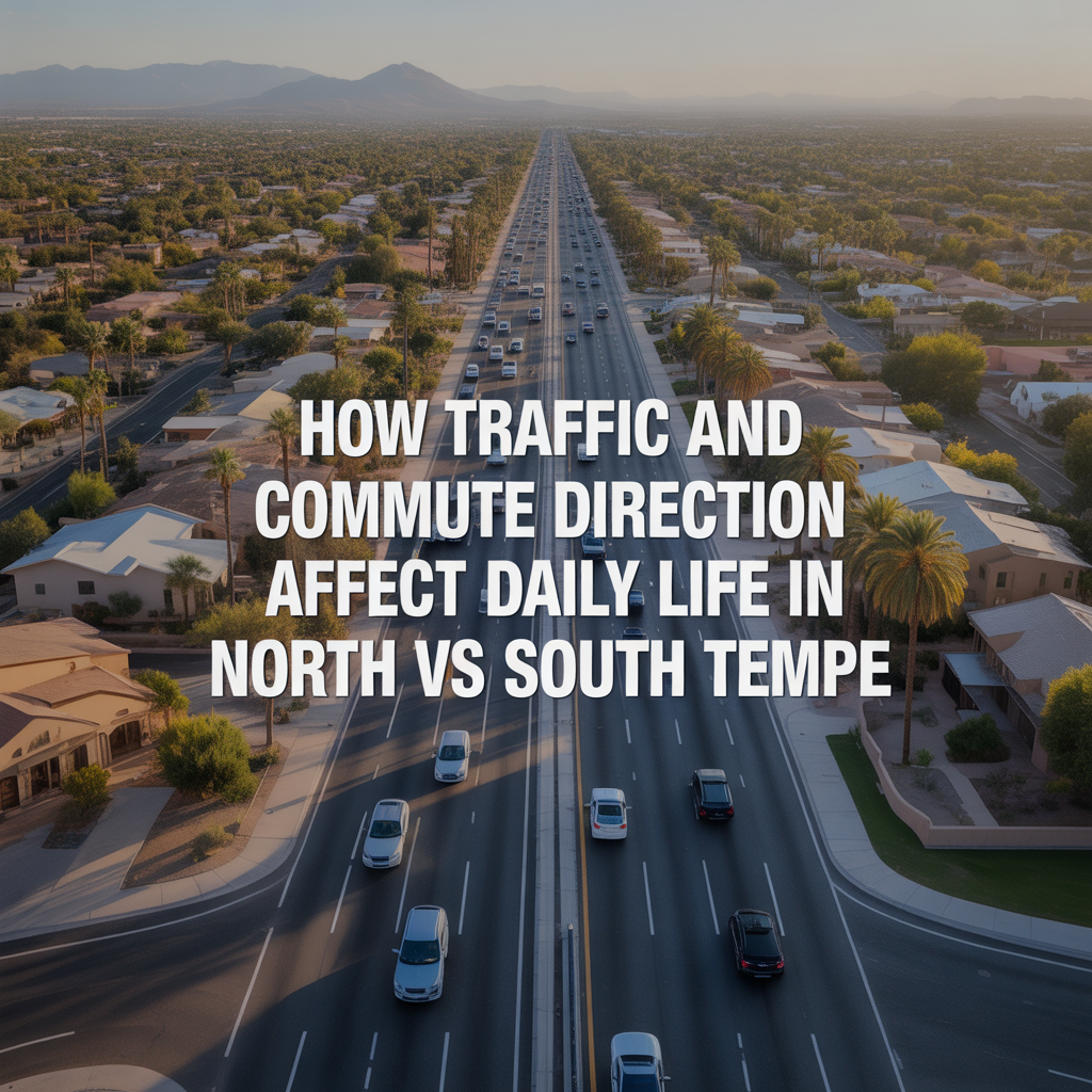
How Traffic and Commute Direction Affect Daily Life in North vs South Tempe
-

Bike Paths, Walkability, and Short-Distance Transportation in Tempe
-

Driving Access From Tempe to Phoenix Sky Harbor Airport
-

Light Rail Access Between Tempe, Downtown Phoenix, and Mesa
-

Major Tempe Arterial Roads Including Rural Road, McClintock Drive, and Baseline Road
-

ASU Traffic Patterns and Peak Congestion Near Campus
-

Typical Commute Times From Tempe to Phoenix, Scottsdale, and Chandler
-

Tempe Freeway Access to US-60, Loop 101, and Loop 202
-
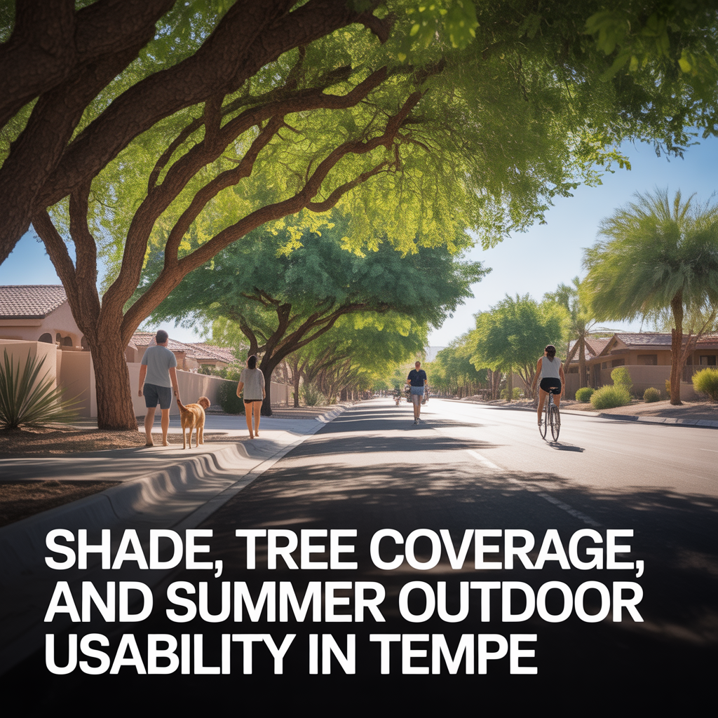
Shade, Tree Coverage, and Summer Outdoor Usability in Tempe
-

Outdoor Recreation Near Downtown Tempe and ASU