


Phoenix Lifestyle Guide → [Phoenix Lifestyle Guide] & For more info on Phoenix Real Estate → [Phoenix Real Estate Guide]
Written by: Renee Burke
Phoenix trail systems aren’t just lines on a map — they’re the quiet threads that weave outdoor living into the fabric of our daily Valley rhythm. From canal paths that carry you past neighborhood coffee shops to rugged desert climbs that challenge your spirit, these networks fit different lives in ways that make certain homes feel truly right.
Phoenix’s Major Trail Networks
Phoenix supports over 200 miles of trails across 41,000 acres of desert parks and preserves, plus extensive canal and multi-use paths that extend the system further. The main networks break down like this:
- Desert Mountain Preserves: South Mountain Park/Preserve (largest municipal park in the U.S.), Phoenix Mountains Preserve (Piestewa Peak, Dreamy Draw), Camelback Mountain, Sonoran Preserve, Papago Park, Deem Hills. These offer everything from summit challenges to family loops.
- Canal Trail System: Nearly 80 miles of paved/enhanced paths along the Salt River Project canals (SRP), including Arizona Canal Path, Grand Canal Path — lit, landscaped, and connecting neighborhoods to shops and parks.
- Regional Connections: Maricopa Trail (multi-county loop), Hawes Trail System (East Valley), plus urban greenways and linear parks.
Each serves a different purpose, from daily dog walks to weekend adventures.
How Trails Match Daily Phoenix Life
Different trail types support distinct habits — your home’s proximity shapes whether outdoor time feels effortless or occasional.
Canal paths see 750,000+ users yearly for their accessibility; preserves draw millions for immersive desert escapes.
Daily Habits by Trail Access
Morning Rituals: Canal walkers in Central Phoenix grab coffee mid-loop; North Phoenix runners hit Sonoran Preserve before 8 AM.
After-School/Weekend Family Time: Papago’s Hole-in-the-Rock or South Mountain’s accessible loops let kids explore without big elevation.
Evening Wind-Downs: Lit canal segments from Arcadia to Downtown become social paths — bikes, dogs, neighbors chatting.
Fitness Focus: Piestewa or Camelback locals tackle summits 3-4x weekly; East Valley connects Hawes for 20+ mile rides.
Heat shapes everything — early starts, late finishes, and shaded segments rule summer use.
Why Trail Fit Matters More Than Acres
Phoenix’s 41,000 acres dazzle on paper, but usability comes down to your trail type.
- Families need flat, shaded <2-mile loops near home, not distant summits.
- Dog owners prioritize canal access over rocky scrambles.
- Commuter-cyclists want connected paths to work; peak-baggers need trailheads <10 minutes away.
Missteps: Choosing a “near preserve” home without daily-walk options, or canals without safe crossings. Proper matching boosts walk scores 20-30%, home values 8-12%.
Neighborhoods by Trail Lifestyle
- Casual Daily Users: Central Corridor (canals + Papago), Arcadia (flat loops).
- Family Trail Lovers: Ahwatukee (South Mountain access), North Gateway (Deem Hills).
- Peak Chasers: Paradise Valley (Camelback), Moon Valley (Piestewa).
- Endurance East: Mesa/Chandler (Hawes, Maricopa Trail segments).
Programs like Hike Right PHX and Trail Heat Safety enhance safety and accessibility.
Making Trails Part of Home
When clients share their outdoor rhythm — “We walk the dog daily, hike weekends” — we layer that against real access. A Central Phoenix canal home means seamless evenings out; a Sonoran Preserve edge delivers wild variety. The right fit turns trails from “nice to have” into daily joy.
A Gentle Next Step
If you’re thinking about making a move in Phoenix and want trail systems that truly fit how you live — whether canal strolls or desert summits — you don’t have to navigate the networks alone. I know these paths intimately, from shaded morning loops to challenging climbs, and how they elevate nearby neighborhoods.
Reach out when you’re ready. We’ll trace your ideal trails to the perfect home base, ensuring every step feels like yours. If you’re thinking about making a move in Phoenix, you don’t have to figure it out alone. I’m here as your long-term guide, ready to connect you to trails that make life here complete.
Get the full Phoenix Market Insights → [Market Insights]

-
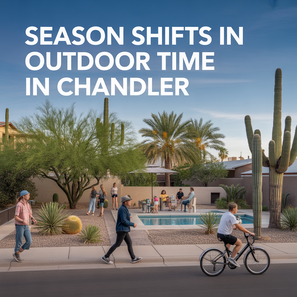
Season Shifts in Outdoor Time in Chandler
-

Seasonal Crowding and Tourism in Chandler
-

Summer Livability Differences in Chandler
-

Areas That Feel “Always On” Chandler
-

Parking and Rideshare Realities Chandler
-

Family Entertainment Hubs Around Chandler
-

Chandler Late‑Night Hotspots vs Quiet Pockets
-

Live Music and Arts in Chandler
-

Event Impacts on Chandler Evenings
-

Areas Where Cross‑City Trips Feel Heavy
-

Micro‑Mobility Utility by Chandler Area
-

Micro‑Mobility Utility by Chandler Area
-

Park‑and‑Ride Options Around Chandler
-

Local Transit and Bus Use Cases in Chandler
-

Key Freeway Connections in Chandler
-

Access to Gateway and Secondary Airports
-

Real‑World Drive Times to Sky Harbor
-

How Congestion Shapes Chandler Routines
-

Tradeoffs of Living Farther South Chandler
-

Remote‑Work Friendly Areas in Chandler
-

Daily Errand Routing Across Chandler
-

Reverse Commutes in Chandler Pros/Cons
-

Chandler Freeway Slowdown Hotspots
-

Peak Traffic Directions in Chandler
-
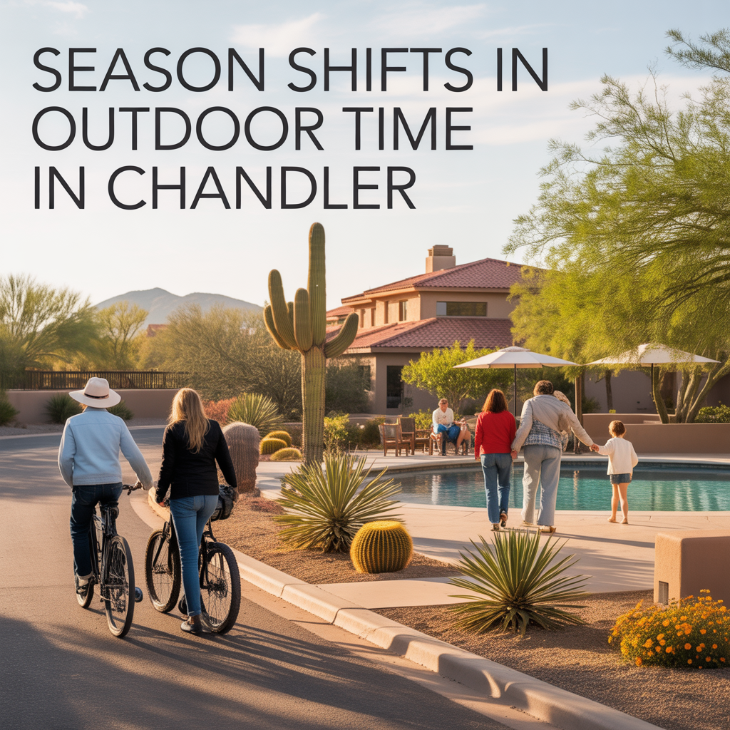
Season Shifts in Outdoor Time in Chandler