



Phoenix Lifestyle Guide → [Phoenix Lifestyle Guide] & For more info on Phoenix Real Estate → [Phoenix Real Estate Guide]
Written by: Renee Burke
Phoenix light rail offers a calm, reliable thread through our busy Valley, connecting neighborhoods without the freeway stress. Whether you’re dodging rush hour or enjoying a night out, its 38.5-mile A and B Lines make car-free days possible from Metro Parkway down to Baseline or east to Gilbert Road. I’ve recommended it to clients for years, watching it transform airport runs into relaxed rides.
The system splits into the A Line (east-west via Downtown Hub to Gilbert/Main) and B Line (north-south from Metro Parkway to Baseline/Central), with 50 stations linking Phoenix, Tempe, and Mesa. It’s perfect for targeted trips where parking headaches vanish. Here are the standout use cases.
Airport Transfers: Sky Harbor Without the Search
Skip circling garages — hop on at 44th Street/Washington for the PHX Sky Train link.
- From Downtown/Tempe: 15-20 min ride, $2 fare. Beats $30 rideshares during peaks.
- East Valley (Mesa): A Line direct from Main Street stations, 30-40 min total.
- Central stops like Central/Jefferson feed seamlessly.
Ideal for early flights; trains run every 15 min peaks, with bike racks for luggage.
Game Days and Events: Cardinals, Suns, D-Backs
Light rail shines for downtown stadiums — Chase Field, Footprint Center, Arizona State games.
- Suns/D-Backs: Washington/Central or 3rd Street stations drop you blocks away. Pre-game from Gilbert? A Line express feel, home before traffic clears.
- ASU Tempe: University Dr/Rural or Mill Ave — tailgates without DUIs.
- Fiesta events in Mesa: Country Club/Main unpacks right into the heart.
Saves $20 parking; post-event trains prioritize crowds.
Daily Commutes: Hybrid Workers and Students
B Line north-south eases Central Corridor jobs; A Line skips Stack snarls.
- Office at CityScape? B Line from Indian School/Central (20 min from north Phoenix).
- ASU classes: Tempe segment packed but punctual, every 7.5 min rush hour.
- Mesa Riverview shoppers: Stapley/Main to Gilbert Rd.
Fares under $4 daily max; employer subsidies common.
Weekend Lifestyle: Dining, Markets, Culture
Car-free fun defines rail life.
- Roosevelt Row art walks: Van Buren/Central to galleries, breweries.
- Tempe Marketplace/Mill Ave: Center Pkwy/Washington for dining, waterfront.
- Mesa Arts District: Main Street stations to farmers markets, First Fridays.
- Baseline/Main transfer for South Central eats.
Pairs with streetcar extensions for fuller loops.
| Use Case | Best Line/Stations | Time Savings vs Driving | Cost |
|---|---|---|---|
| Sky Harbor | A Line to 44th St | 20-40 min peaks | $2 |
| Downtown Games | Washington/3rd St | Parking + exit | $4 daily |
| ASU/Commute | University Dr | HOV skips | Unlimited pass |
| Mill Ave Night | Mill Ave/3rd St | Street parking hunt | $2 |
| Mesa Events | Main St corridor | Surface congestion | $2 |
Limitations and Smart Tips
Rail skips West/East extremes — Buckeye or Queen Creek need bus feeders. Hours: 4 a.m.-midnightish, less weekends. Security feels safe; apps track live.
For homebuyers, stations boost value: Walkable from Central/Camelback condos or Mesa Drive townhomes. Test a full day — it reveals neighborhood pulse.
Light rail weaves convenience into Valley sprawl, freeing time for sunsets over saguaros.
If you’re thinking about making a move in Phoenix, you don’t have to figure it out alone. Whether plotting rail-friendly homes or blending transit into your routine, I’d love to ride through the options with you. Reach out anytime — together, we’ll keep your path clear and easy.
Get the full Phoenix Market Insights → [Market Insights]


-
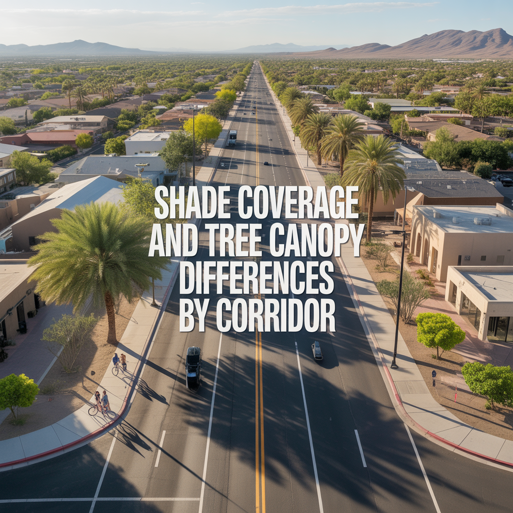
Shade Coverage and Tree Canopy Differences by Corridor
-

Summer Walkability Reality Near ASU and Mill Avenue
-
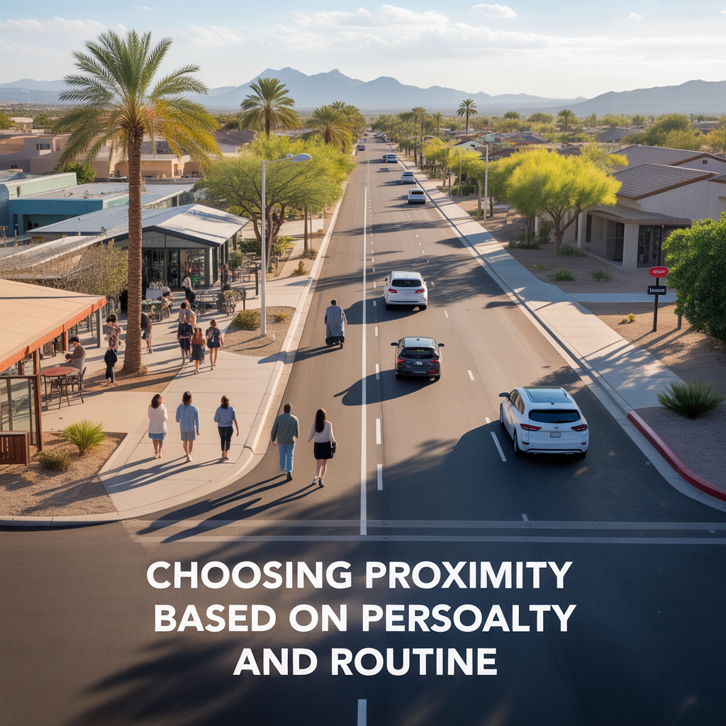
Choosing Proximity Based on Personality and Routine
-
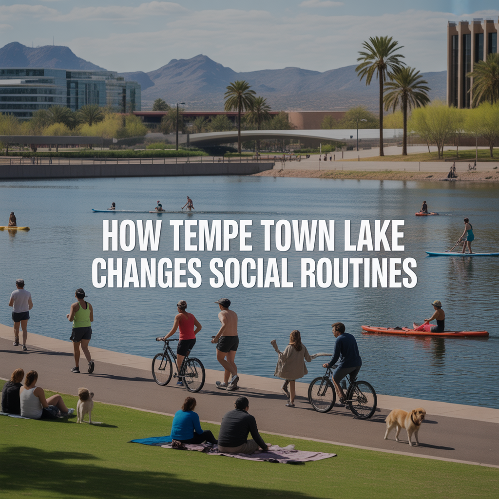
How Tempe Town Lake Changes Social Routines
-
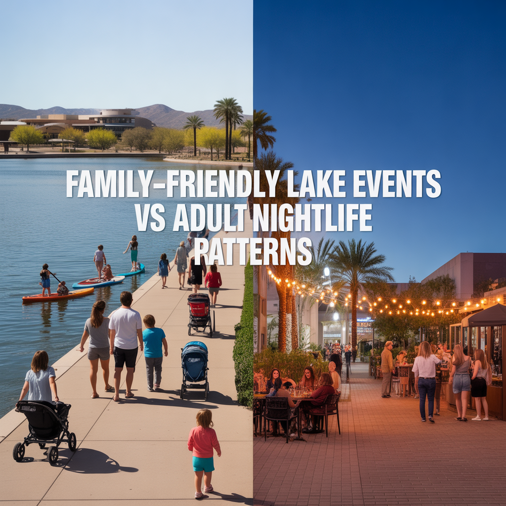
Family-Friendly Lake Events vs Adult Nightlife Patterns
-
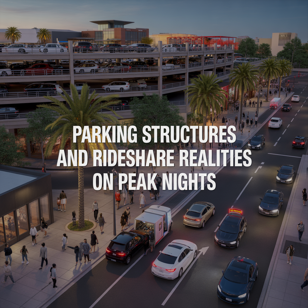
Parking Structures and Rideshare Realities on Peak Nights
-
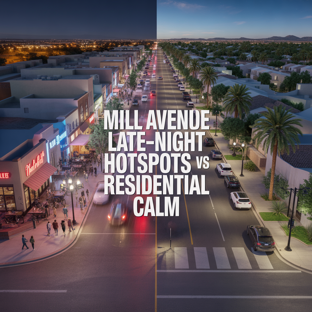
Mill Avenue Late-Night Hotspots vs Residential Calm
-
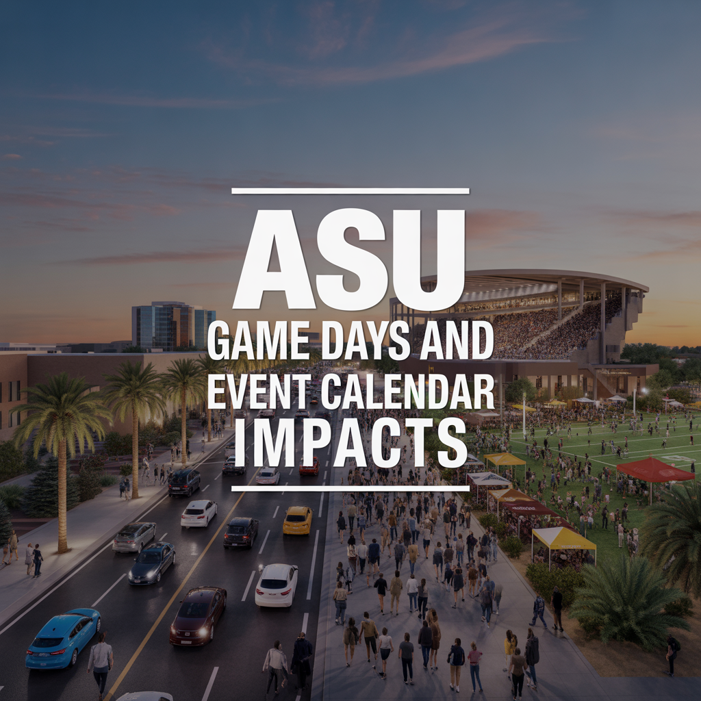
ASU Game Days and Event Calendar Impacts
-
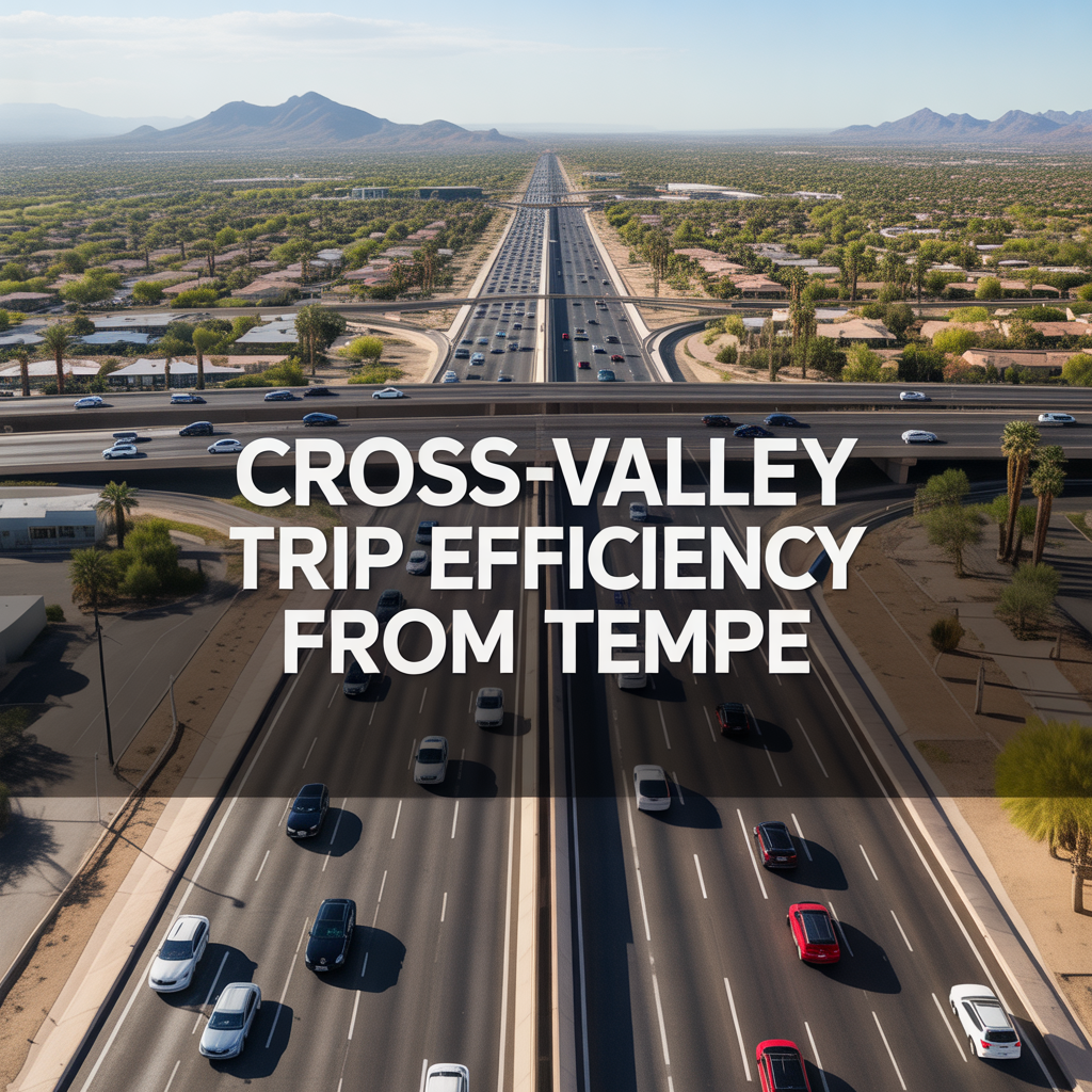
Cross-Valley Trip Efficiency From Tempe
-
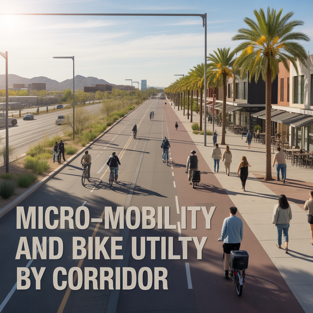
Micro-Mobility and Bike Utility by Corridor
-
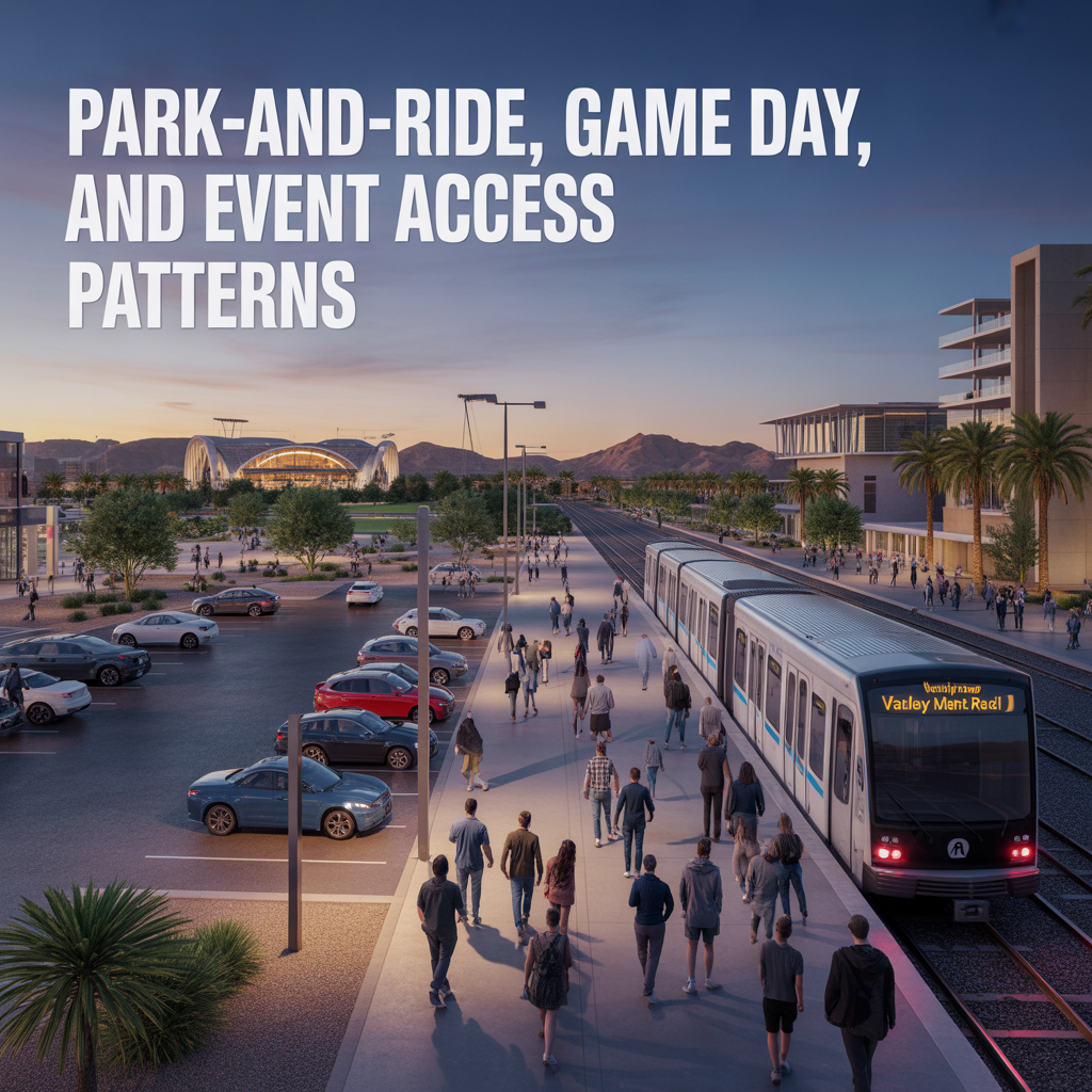
Park-And-Ride, Game Day, and Event Access Patterns
-

Airport Timing Strategy Around ASU and Rush Hour Traffic
-

Light Rail Use Cases That Actually Improve Daily Life
-
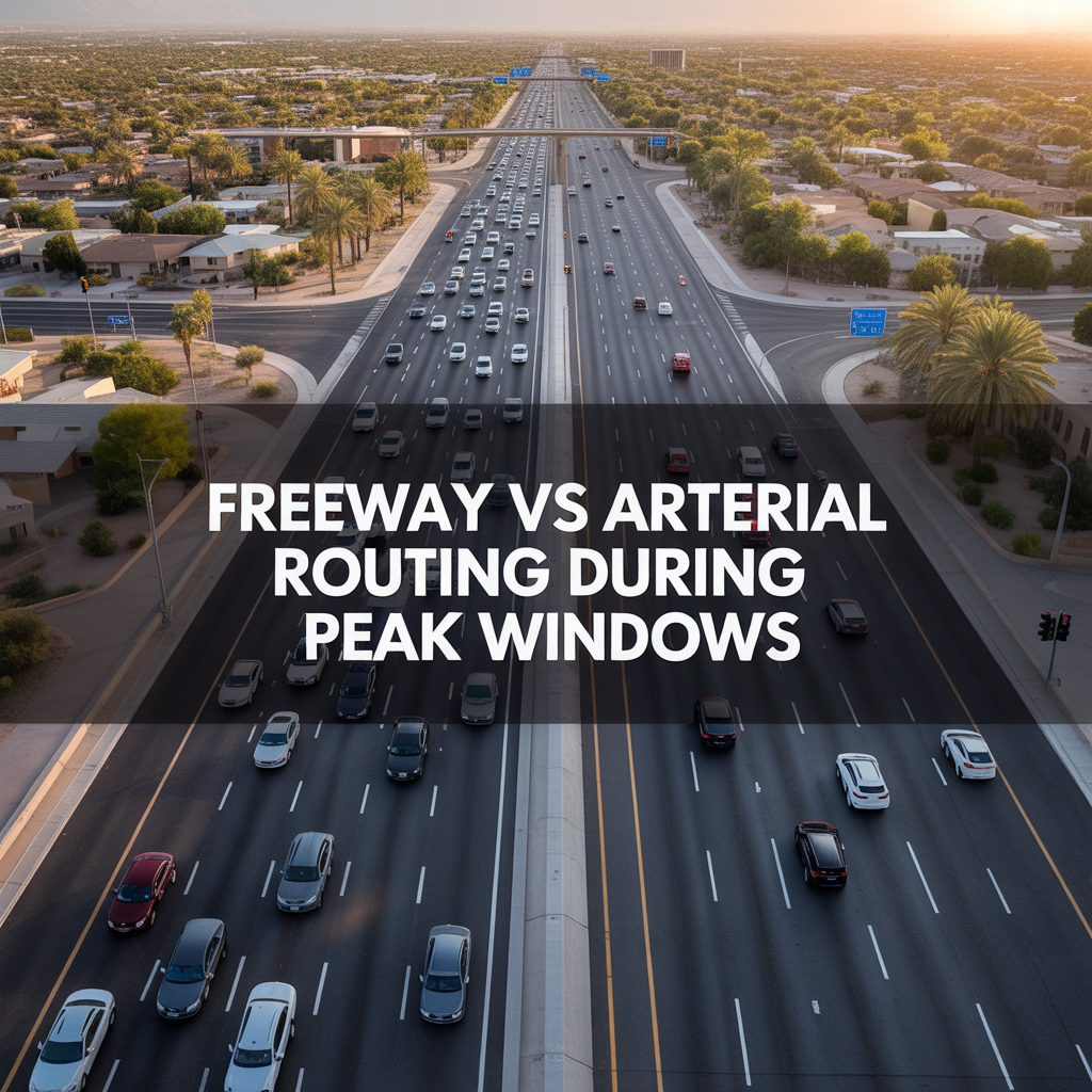
Freeway vs Arterial Routing During Peak Windows
-

Real-World Drive Times to Sky Harbor From Different Tempe Pockets
-
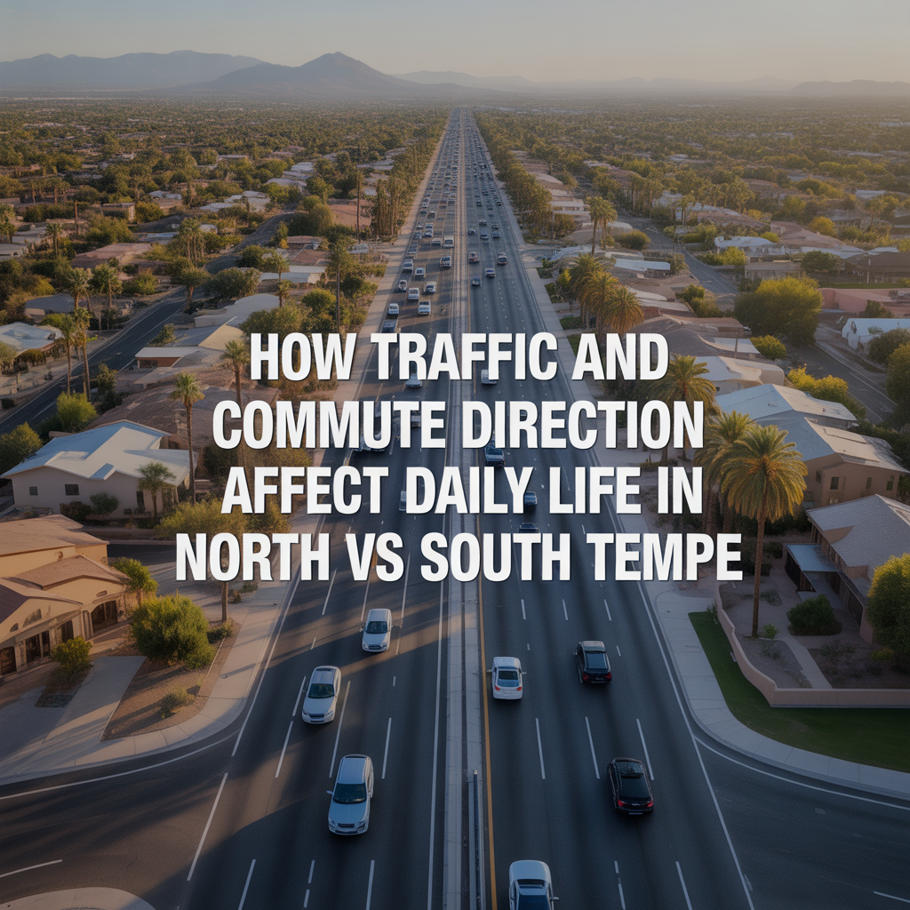
How Traffic and Commute Direction Affect Daily Life in North vs South Tempe
-

Bike Paths, Walkability, and Short-Distance Transportation in Tempe
-

Driving Access From Tempe to Phoenix Sky Harbor Airport
-
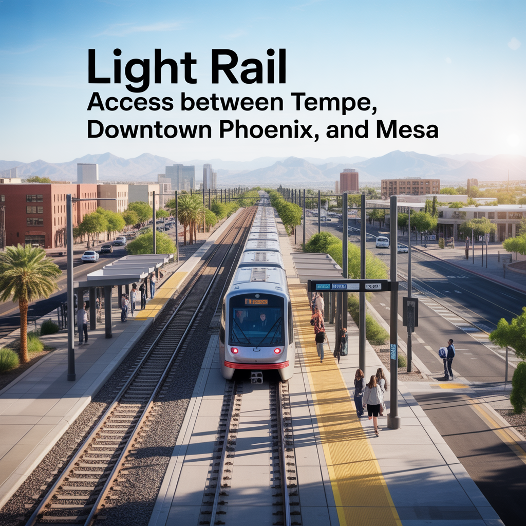
Light Rail Access Between Tempe, Downtown Phoenix, and Mesa
-
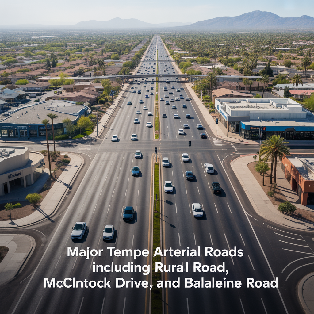
Major Tempe Arterial Roads Including Rural Road, McClintock Drive, and Baseline Road
-
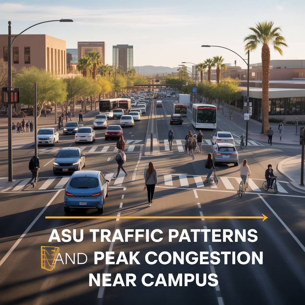
ASU Traffic Patterns and Peak Congestion Near Campus
-
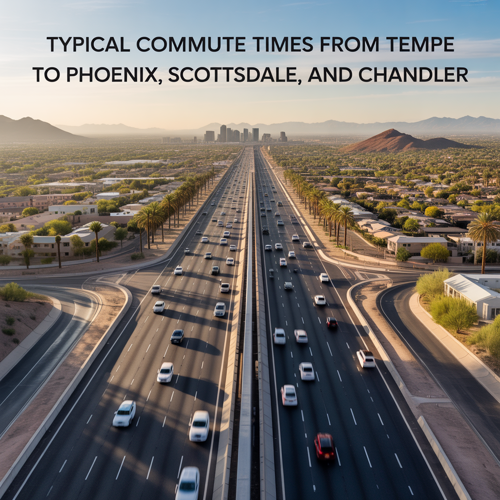
Typical Commute Times From Tempe to Phoenix, Scottsdale, and Chandler
-
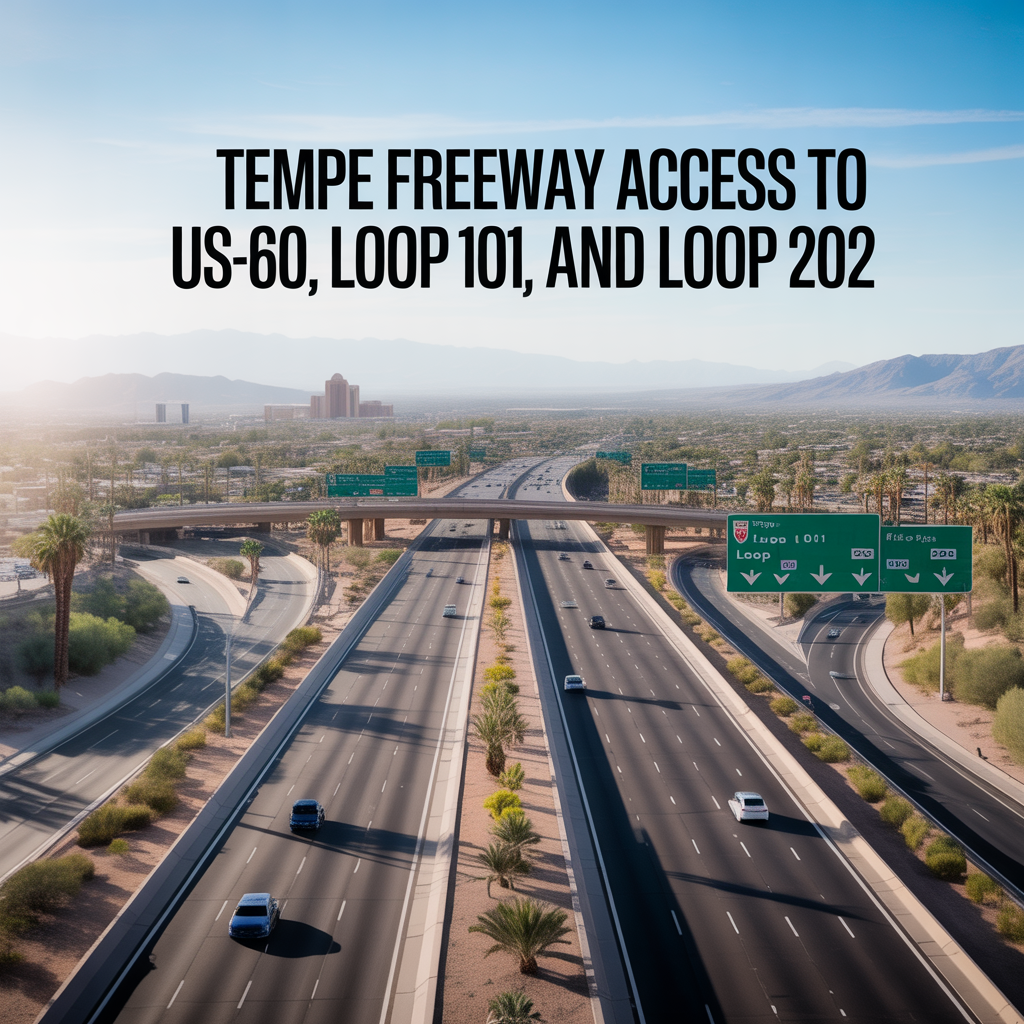
Tempe Freeway Access to US-60, Loop 101, and Loop 202
-
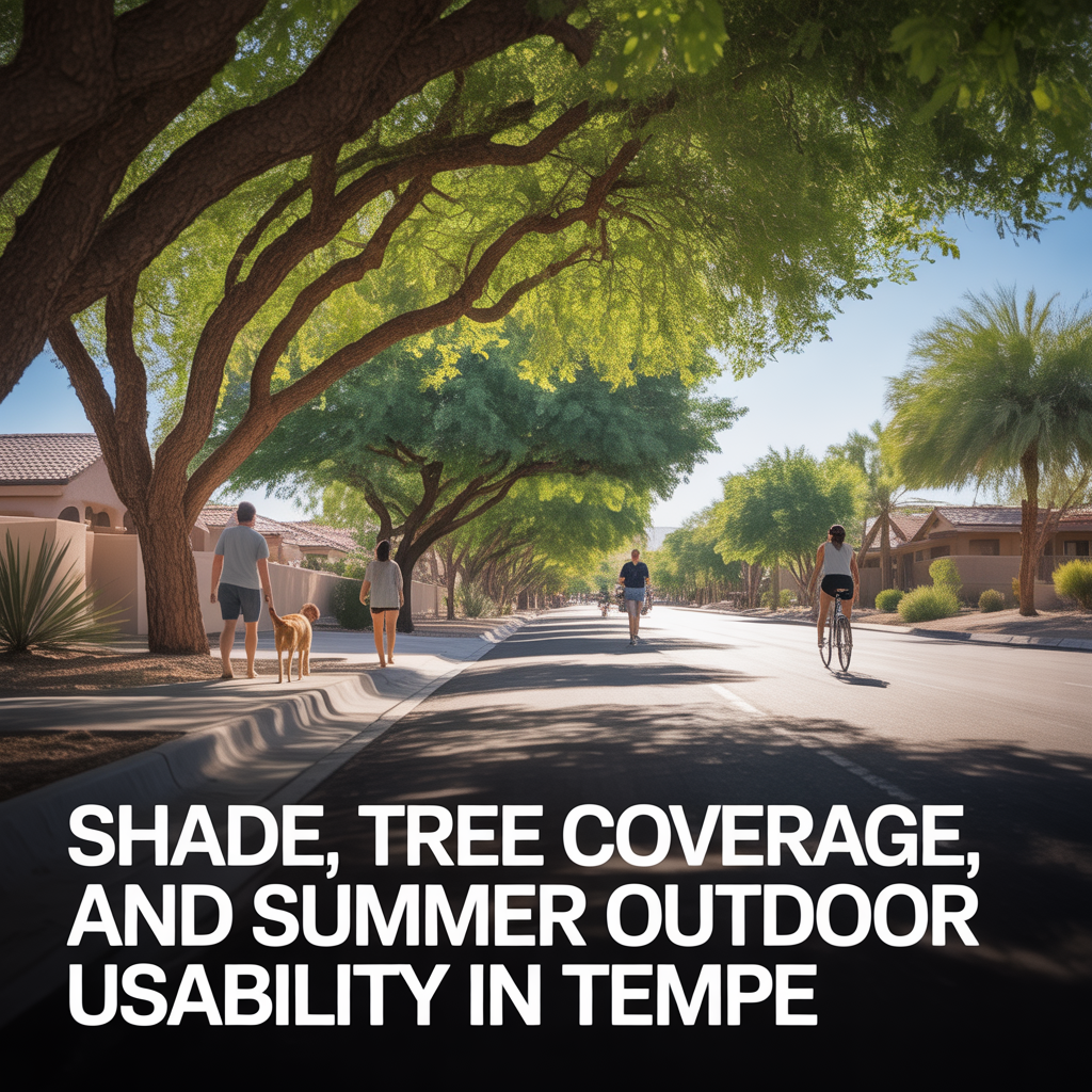
Shade, Tree Coverage, and Summer Outdoor Usability in Tempe
-
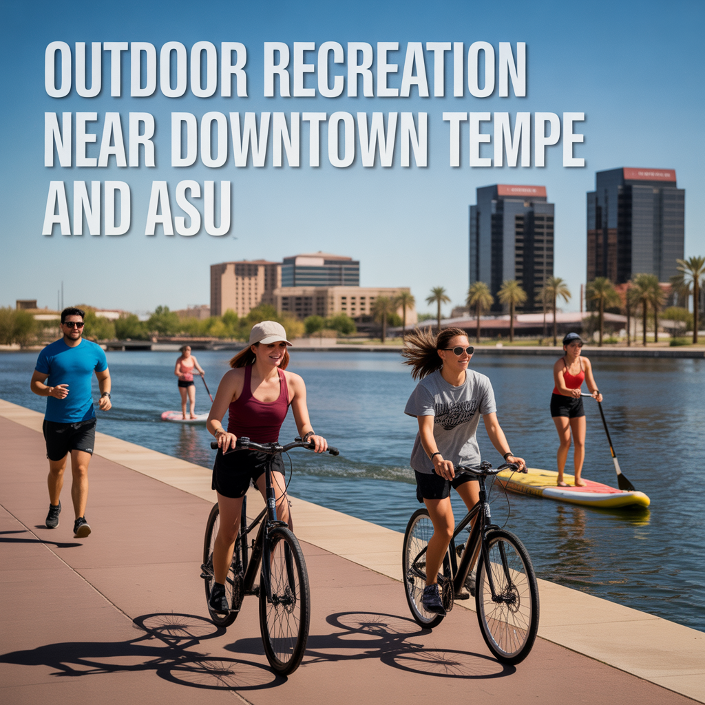
Outdoor Recreation Near Downtown Tempe and ASU