



Phoenix Lifestyle Guide → [Phoenix Lifestyle Guide] & For more info on Phoenix Real Estate → [Phoenix Real Estate Guide]
Written by: Renee Burke
Sky Harbor sits at the heart of our Valley, making it deceptively central — until traffic reminds you otherwise. Real-world drive times from most Phoenix neighborhoods double or triple during peaks, turning a 15-minute map estimate into 45 minutes of patience. I’ve mapped these routes for clients countless times, helping them choose homes where airport runs don’t steal the day.
These times reflect weekday realities — inbound mornings (to departures), outbound evenings (for pickups), and midday buffers. Always add 30-60 minutes for flights; monsoons or wrecks add more. AZ511 is your friend for live tweaks.
Central Neighborhoods: Quick but Queue-Prone
Living near the core keeps Sky Harbor accessible, but merges at I-10/SR-51 snag everyone.
- Arcadia/Biltmore (5-10 miles): Off-peak 10-15 min. Morning eastbound I-10: 20-30 min. Evening westbound: 25-40 min from 32nd St via SR-51.
- Tempe/South Tempe (3-7 miles): Map 8-12 min. Peaks hit 15-25 min on Loop 202 or I-10 ramps. Best via Broadway for surface ease.
- Downtown/Midtown (2-5 miles): 7-10 min ideal. Rush: 15-30 min dodging 3rd St construction and Stack backups.
Park at Terminal 4 garages or PHX Sky Train from 44th St to skip final snarls.
East Valley: U.S. 60 and Loop 202 Flows
East siders flow with morning commutes but fight outbound evenings.
- Gilbert/Chandler (20-25 miles): Off-peak 25-35 min via Loop 202 Santan. Morning: 30-45 min. Evening westbound U.S. 60: 45-70 min past Baseline.
- Mesa (15-20 miles): 20-30 min baseline. Peaks stretch to 35-55 min on Superstition Fwy weaving into I-10.
- Queen Creek (30-35 miles): 35-50 min normal. Rushes: 50-80 min; use 202 to skirt core.
Locals leave Gilbert at 4 a.m. for 7 a.m. flights.
West Valley: I-10 Endurance Test
Westbound evenings define pain; eastbound mornings glide.
- Goodyear/Avondale (20-25 miles): Off-peak 25-35 min. Morning EB I-10: 30-45 min. Evening WB: 50-90 min from Dysart to Stack.
- Buckeye (35-40 miles): 40-55 min ideal. Peaks: 60-120 min; Loop 303 adds distance but skips some pain.
- Glendale/Peoria (15-25 miles): 20-35 min off-peak. Evening north I-17 to I-10: 40-60 min.
HOV lanes shave 10-15 min if qualified.
North and South Edges: Directional Edges
- North Scottsdale (20-25 miles): Via Loop 101: 25-40 min off-peak. Southbound peaks: 40-60 min past Shea. Pima Rd surface cuts some.
- Ahwatukee/South Mountain (8-12 miles): 15-25 min easy. I-10 EB mornings: 20-35 min. Best airport access overall.
- Peoria/North Gateway (25-35 miles): Loop 101 south: 35-50 min. Rushes: 50-75 min merging 101/17.
| Neighborhood | Off-Peak | Morning Peak (To Airport) | Evening Peak (From Airport) |
|---|---|---|---|
| Arcadia | 10-15 min | 20-30 min | 25-40 min |
| Gilbert | 25-35 min | 30-45 min | 45-70 min |
| Goodyear | 25-35 min | 30-45 min | 50-90 min |
| North Scottsdale | 25-40 min | 40-60 min | 35-55 min |
| Buckeye | 40-55 min | 60-90 min | 75-120 min |
Tips to Tame Airport Drives
Time departures pre-peak: 5:30 a.m. from east, 2:30 p.m. pickups. PHX Sky Train from 44th St or Rental Center saves circling. Rideshares surge less from edges; pre-book SuperShuttle for groups.
For home hunts, prioritize south/east of Sky Harbor — Ahwatukee shines. Frequent flyers test full round-trips; what’s tolerable daily crushes yearly.
Airport access weaves into Valley life — weddings, escapes, family visits. Knowing these times turns stress into smooth send-offs.
If you’re thinking about making a move in Phoenix, you don’t have to figure it out alone. Whether plotting Sky Harbor runs for your family’s rhythm or finding a spot minutes from the gates, I’d love to drive the details with you. Reach out anytime — together, we’ll make every takeoff feel effortless.
Get the full Phoenix Market Insights → [Market Insights]


-

Dog and Kid Friendly Parks Chandler
-

Best Chandler Parks for Regular Use
-

Trail Systems That Fit Chandler Life
-
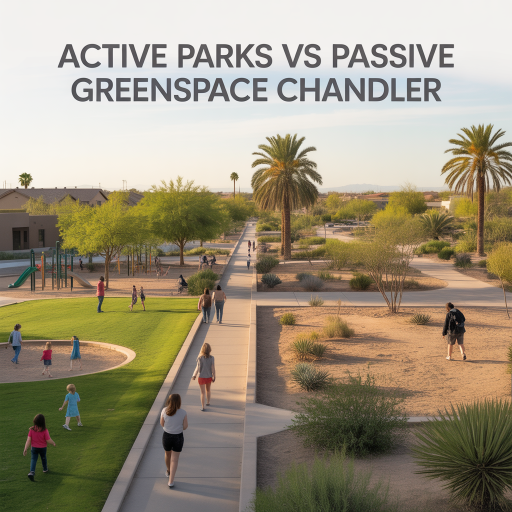
Active Parks vs Passive Greenspace Chandler
-

Daily Outdoor Habits by Chandler Area
-
Map vs Usable Parks in Chandler
-

Weekly Go‑To Spots Around Chandler
-

Local‑Favorite Restaurants in Chandler
-

Hosting at Home vs Going Out Chandler
-

Family‑Friendly vs Nightlife Zones Chandler
-

How Late Chandler Areas Stay Active
-

Walkable Chandler Dining and Nightlife Pockets
-

Spontaneous vs Planned Dining in Chandler
-

Chandler Feeder Patterns and Predictability
-

District vs Charter Tradeoffs in Chandler
-

Weekend Events Around Chandler Schools
-

After‑School Sports and Activities Chandler
-

Parent and Community Networks in Chandler
-

Family Morning and Evening Routines
-

School‑Day Traffic in Chandler
-

Heat and Microclimates in Chandler
-

Airport and Freeway Proximity Within the East Valley
-

Dining Density by Chandler Corridor
-

Real Outdoor Access by Chandler Area
-
Commute Corridors and Directions in Chandler