



Buyer Fears→ [Buyer Fears] & For more info on other fears Phoenix Real Estate → [Phoenix Real Estate Fears Guide]
Written by: Renee Burke
Distance can feel like a hurdle when house hunting in the Valley, but it doesn’t have to dim your excitement or clarity. Whether you’re relocating from across the country or just sifting through options from a home office, there are thoughtful ways to truly “see” a Phoenix neighborhood without setting foot there yet. I’ve guided dozens of out-of-state buyers through this exact process, helping them choose with confidence.
Let me walk you through it step by step, like we’re sitting together with a cup of tea, mapping out what matters most to your life here.
Start with Street View and Aerial Layers
Google Maps Street View is your first window into the real feel of a place — far beyond listing photos. Drive virtual streets in neighborhoods like Arcadia or Ahwatukee, noting sidewalk quality, landscaping, and how homes sit on their lots. Are yards xeriscaped and tidy, or patchy with neglected grass? Peek at parked cars for hints on resident lifestyles — trucks in Peoria suggest families, sleek sedans in Biltmore point to professionals.
Layer on satellite and aerial views to spot community pools, nearby washes, or proximity to freeways like the Loop 101. Zoom into Gilbert’s Agritopia for those community farm vibes, or North Scottsdale’s DC Ranch for gated elegance. Spend 20 minutes “driving” — it reveals upkeep and charm no photo captures.
Tap into Neighborhood Video Tours
Phoenix creators fill YouTube with gold — search “living in [neighborhood] Phoenix” for drives through Laveen’s new builds or Downtown’s Roosevelt Row. Channels like Everything Phoenix by Kelly Cook offer walking tours of historic spots like Palmcroft-Encanto, showing tree-lined lanes, mid-century homes, and Encanto Park’s lagoon sparkle. Watch for multiple angles: morning light on Camelback Mountain from Paradise Valley, or evening hum in Tempe’s Mill Avenue.
Cross-reference recent dates — our Valley evolves fast with new townhomes in Queen Creek or resort-style updates in Surprise. These tours breathe life into data, letting you sense if Fountain Hills’ lake views match your serene mornings.
Dive into Local Social Proof
Facebook groups and Nextdoor give unfiltered voices. Join “Phoenix AZ Neighborhoods” or specific ones like “Ahwatukee Foothills News” to read posts on recent break-ins, block parties, or HOA gripes. Reddit’s r/phoenix threads on “living in Mesa vs. Chandler” spill honest takes on school traffic or monsoon flooding risks near the Salt River.
Ring camera snippets or resident TikToks show daily rhythms — kids biking in Deer Valley, dog walkers at Papago Park. Look for patterns: frequent ADOT complaints signal I-17 noise, while “best coffee run” posts highlight walkable perks in Uptown.
Analyze Data Dashboards for Hidden Truths
Numbers tell stories photos miss. Zillow and Redfin heat maps reveal appreciation trends — steady climbers like Scottsdale’s Gainey Ranch vs. volatile outer Buckeye. GreatSchools.org rates Chandler’s top districts; CrimeGrade.org flags safer pockets in Maryvale.
ADOT’s traffic counts predict commutes — US-60 near Superstition Springs clogs at 5 p.m., while Loop 303 in Glendale flows easier. FloodZone maps matter for Laveen lowlands; AirNow.gov shows dust patterns near South Mountain. Piece these together for a data-driven gut check.
Connect with Local Eyes on the Ground
Email or call neighborhood specialists — I often proxy tours for buyers, FaceTiming live walks through Coronado’s bungalows or Eastmark’s greenbelts. Ask residents via Nextdoor: “What’s the evening vibe like on McDowell Road?” Scout realtor.com for agent videos in target zips like 85251 for Old Town Scottsdale.
Virtual open houses via Zoom let you quiz on pool algae in summer or winter leaf-drop. Drone footage from listing sites soars over Verrado’s master-planned lakes or North Gateway’s industrial edges.
Layer Lifestyle Through Amenities Mapping
Plot your must-haves on a custom Google Map: Sprouts in Gilbert, hiking at McDowell Sonoran, Diamondbacks games via light rail from Downtown. Measure drive times to work hubs — Sky Harbor, TSMC in north Phoenix, Scottsdale Airpark. AllTrails apps preview trailheads from Cave Creek to White Tanks.
Yelp heat maps reveal dining pulses — foodie havens in Central Phoenix vs. family steakhouses in Avondale. School bus routes and church directories add family fit.
Sample a Day in the Life Virtually
Build a digital “day trip”: Start with a sunrise Street View stroll in Arrowhead Ranch, midday YouTube gym tour at Vistancia, evening drone over SanTan Village lights. Play traffic simulators on Sigalert for rush hour on I-10 from Avondale. Listen to podcasts from locals in that zip — “Phoenix Drive” channels narrate the feel.
Test noise: Websites like NoisePoll map freeway hum in Maryvale or train whistles near Tempe. Weather apps overlay monsoon paths — critical for South Phoenix washes.
Budget for the Unseen Realities
Virtual scouting uncovers costs: High HOA in power communities like DC Ranch covers lush lawns but curbs your citrus grove. Utility estimators flag AC bills in non-insulated Chandler tract homes. PropertyShark details Mello-Roos taxes in East Valley new builds.
Compare insurance quotes by zip — coastal transplants note spikes for hail on tile roofs. Factor EV charger-ready garages in Goodyear’s solar neighborhoods.
Trust Your Instincts, Then Verify
After a week of deep dives, journal what pulls you: Biltmore’s boutique buzz or Queen Creek’s olive groves? Narrow to three, then book live agent tours. Many surprises — like Encanto’s hidden alleys or Laveen’s starry skies — emerge in motion, but virtual diligence gets you 80% there.
I’ve seen buyers commit sight-unseen to Peoria gems, thriving because they layered tools thoughtfully.
A Warm Invitation
If screens full of maps and tours have you close but craving that final nudge — or you’re piecing together your perfect Phoenix fit from afar — you don’t have to navigate it alone. I live this Valley daily, ready to bridge the gap with personalized video walkthroughs, data deep dives, and honest insights tailored just for you.
Reach out when the time feels right. We’ll turn pixels into your home, step by steady step, with the confidence of someone who knows every curve of our sunlit streets.
Get the full Phoenix Market Insights → [Market Insights]


-

Dog and Kid Friendly Parks Chandler
-

Best Chandler Parks for Regular Use
-

Trail Systems That Fit Chandler Life
-
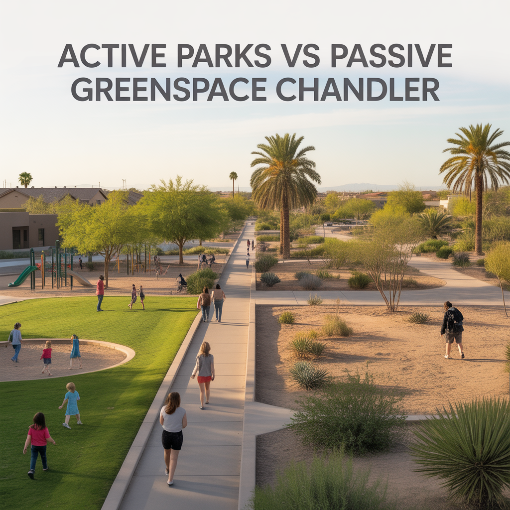
Active Parks vs Passive Greenspace Chandler
-

Daily Outdoor Habits by Chandler Area
-
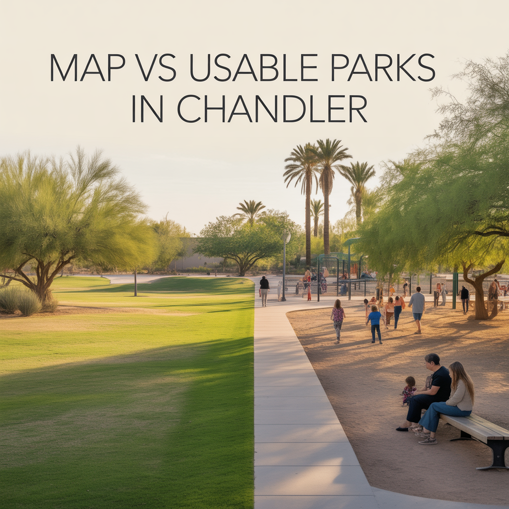
Map vs Usable Parks in Chandler
-

Weekly Go‑To Spots Around Chandler
-

Local‑Favorite Restaurants in Chandler
-

Hosting at Home vs Going Out Chandler
-

Family‑Friendly vs Nightlife Zones Chandler
-

How Late Chandler Areas Stay Active
-

Walkable Chandler Dining and Nightlife Pockets
-

Spontaneous vs Planned Dining in Chandler
-

Chandler Feeder Patterns and Predictability
-

District vs Charter Tradeoffs in Chandler
-

Weekend Events Around Chandler Schools
-

After‑School Sports and Activities Chandler
-

Parent and Community Networks in Chandler
-

Family Morning and Evening Routines
-

School‑Day Traffic in Chandler
-

Heat and Microclimates in Chandler
-

Airport and Freeway Proximity Within the East Valley
-

Dining Density by Chandler Corridor
-

Real Outdoor Access by Chandler Area
-

Commute Corridors and Directions in Chandler