



Buyer Fears→ [Buyer Fears] & For more info on other fears Phoenix Real Estate → [Phoenix Real Estate Fears Guide]
Written by: Renee Burke
In the vast Phoenix metro, where jobs pull in opposite directions—downtown offices versus East Valley tech hubs or West Valley warehouses—reverse commutes promise lighter traffic. Heading from city core to suburbs (or vice versa) against the main flow sounds ideal, but myths persist amid our sprawling freeways. As a local who’s mapped countless routes for relocating families, I’ve seen the truth: reverse commutes shine in spots like Gilbert to Phoenix, but they’re no panacea.
Arizona’s growth scatters employment, making these paths viable for many. Dispelling myths helps you pick a home where work enhances life, not eclipses it.
Myth 1: Reverse Commutes Are Always a Breeze
Reality: Often yes, but not universally. Morning drives from Downtown Phoenix to Chandler or Gilbert flow smoothly outbound on I-10 and Loop 202, dodging inbound snarls. Expect 20-30 minutes versus 45-60 the other way.
Yet cross-commutes—like North Phoenix to Tempe—hit pockets of friction at Stack or Broadway Curve. Monsoon backups ignore direction. Test it: my clients from Avondale to Downtown love morning Loop 303 ease, but events like Cardinals games flip the script.
Myth 2: No One Does Reverse Commutes Here
Reality: Thousands do, fueling East and West Valley booms. Intel in Chandler, Banner Health hubs, and Amazon warehouses draw from core Phoenix. Reddit threads buzz with DT residents commuting to suburbs, praising lighter loads.
Data backs it: East Valley reverse flows to Phoenix are reliable, per local guides. West Valley to Sky Harbor? Golden, especially pre-dawn flights. It’s common for hybrid workers splitting urban vibrancy with suburban space.
The Reverse Lane Controversy
Phoenix’s iconic “reverse lanes” on 7th Street and 7th Avenue embody the debate. Since 1979-1982, the middle lane flips: southbound mornings (6-9 a.m.), northbound evenings (4-6 p.m.), aiding reverse flows toward/from Downtown.
Myth: They’re a safety nightmare everywhere.
Reality: Critics call them “suicide lanes” for confusion, crashes (twice the rate of peers), and business-killing access. Petitions push removal, citing poor signage and U-turn chaos.
But studies counter: 2021 analysis shows ditching them spikes times 40%, worsens intersections. Council voted more study in 2025—retaining for now with ITS upgrades. They cut neighborhood cut-throughs, boosting reverse efficiency despite flaws.
| Aspect | Myth (Critics’ View) | Reality (Studies/Data) |
|---|---|---|
| Traffic Flow | Outdated, underused (6% peaks) | Cuts delays 40%; adds capacity cheaply |
| Safety | Head-ons, aggressive driving rampant | Safer intersections (no lefts); crash links to congestion overall |
| Business Impact | Hurts access, visibility | Enables commuter throughput to district |
| Future | Remove for walkability/bikes | Upgrades eyed: dynamic signs, restriping |
Top Reverse Commute Routes and Tips
East Valley steals the show: Gilbert/Chandler to Downtown via Loop 202/I-10—smooth AM outbound. West Valley (Goodyear to PHX) leverages Loop 303.
| Route Example | Direction (Peak) | Time (vs. Opposite) | HOV/Alternative |
|---|---|---|---|
| Gilbert to Downtown | AM Outbound | 25-35 min | Loop 202, light rail |
| Avondale to Sky Harbor | AM East | 30 min | I-10 HOV, park-and-ride |
| Scottsdale to Chandler | PM East | 20-30 min | SR-101, surface via Elliot |
| Mesa to North Phoenix | AM North | 35 min | US-60, Loop 101 |
Tips: HOV lanes anywhere (2+ people); Waze for flips; Valley Metro express buses reverse-cheap. Live near access: Power Ranch edges shave minutes.
Broader Realities: Growth and Alternatives
Growth myth: Reverse will vanish. Reality: Job decentralization (TSMC in North Phoenix) sustains it. But hybrids reduce peaks.
Alternatives amplify: Light rail East-West; Waymo in core. Reverse pairs perfectly—live urban, work suburban without full slog.
Red flags: Event traffic (Suns games inbound chaos); construction eternal.
A Personal Note from Renee
Reverse commutes unlock Phoenix’s best—suburban yards with city buzz—when myths meet maps. They’re real assets in our metro mosaic, smoothing paths to hikes, festivals, and family.
If you’re chasing that edge from Eastmark to EV hubs or Downtown to West warehouses, you don’t have to figure it out alone. I’m your Valley navigator, mapping tests and truths for seamless moves. Reach out—let’s align your home with effortless tomorrows.
Get the full Phoenix Market Insights → [Market Insights]


-

Weekend “Radius” and How Far People Actually Drive
-

Local Culture That Feels Neighborhood-Based
-

Hosting at Home vs Going Out in Glendale
-

Spontaneous Nights Out vs Planned Nights Out
-

Family-Friendly Go-To Spots vs Late-Night Pockets
-

Event-Night Dining Patterns and Congestion
-

Everyday Dining Convenience by Glendale Corridor
-

Top 10 Public and Private Schools in Glendale
-

How School Choice Affects “Best Area” Decisions
-

Weekend Events and Youth Sports Rhythm
-

Parent Networks and Community Anchors
-

Family Morning and Evening Movement Patterns
-

After-School Sports and Activity Logistics
-

School-Day Traffic Patterns in Glendale
-

How Often You Cross the Valley From Glendale
-

Heat and Shade Differences by Neighborhood
-

Retail Density and Errand Convenience
-

School Patterns and Daily Traffic Flow
-

Freeway Access and Arterial Efficiency in Glendale
-

Established Glendale Neighborhood Cores vs Newer Pockets
-

Event Zone Influence on Glendale Routines
-

Impact on Pets and Kids During Tempe Summers
-

Seasonal Shifts in Outdoor Time Across Tempe
-
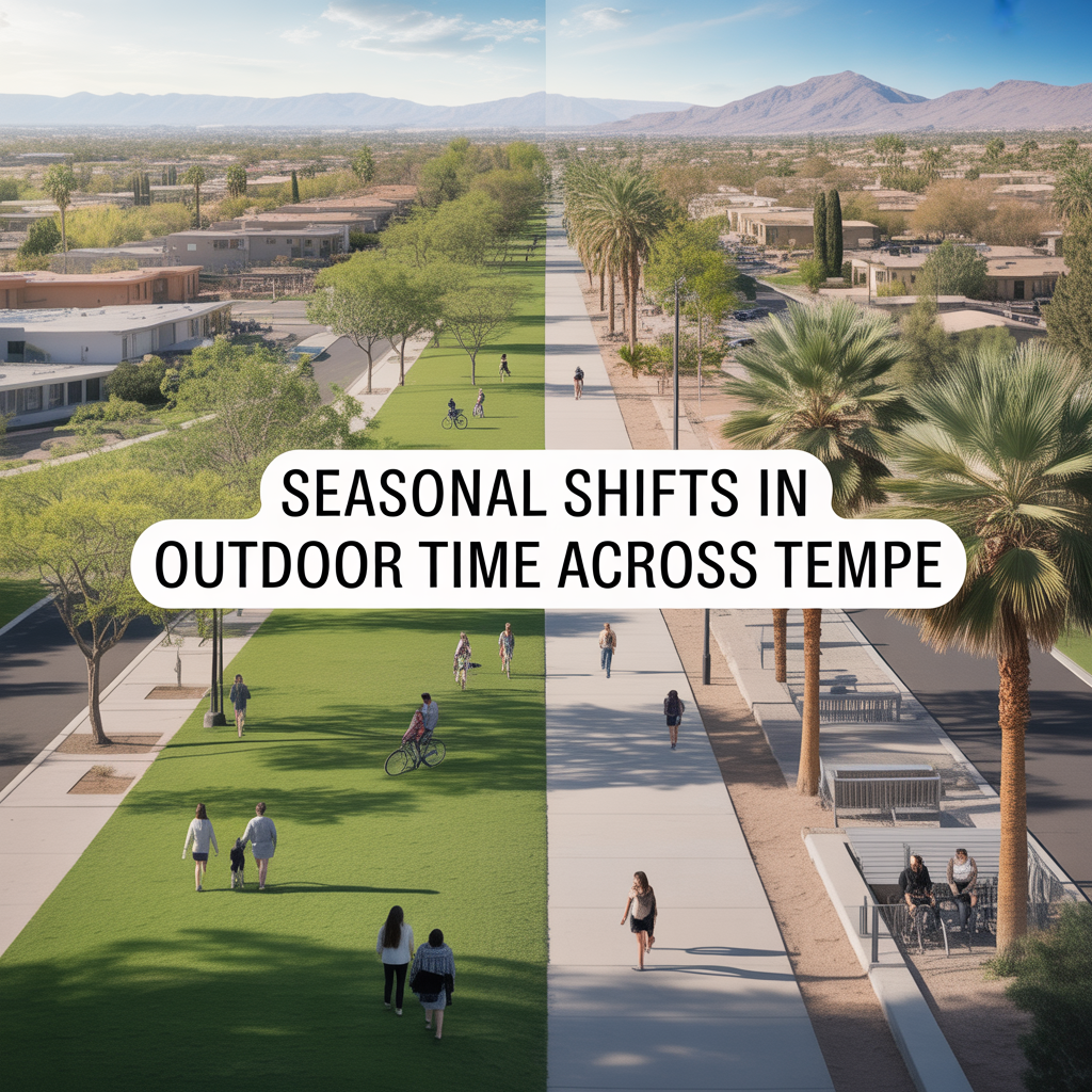
Seasonal Shifts in Outdoor Time Across Tempe
-

Tempe Town Lake and Canal Usage by Season