


This is part of Centennial Lifestyle Guide → [Centennial Lifestyle Hub] & Centennial Real Estate Guide → [Centennial Real Estate Guide]
Written by: Chad Cabalka
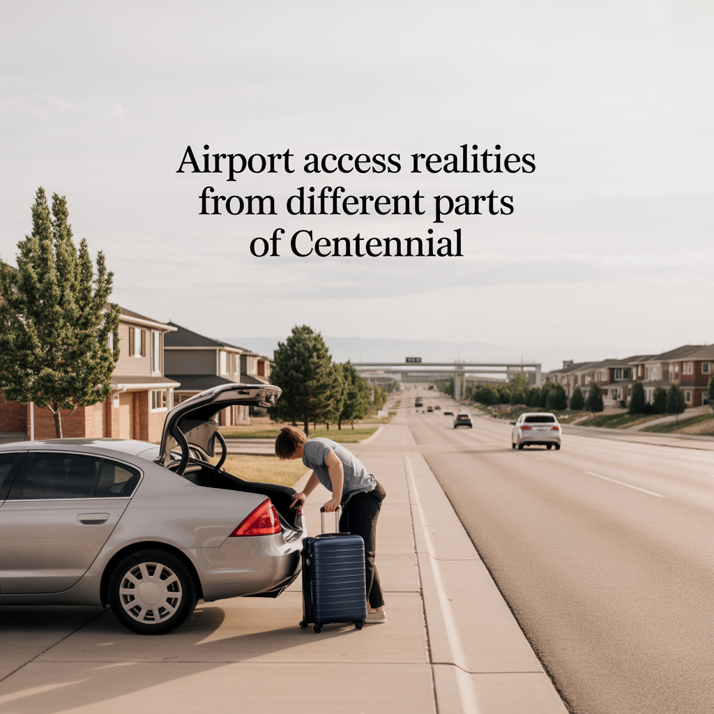
From Centennial, airport access is less about pure distance and more about which side of the city you live on, what time you usually fly, and how you feel about toll roads and transit. Most residents see door‑to‑door times in the 30–60 minute range, but the experience of that hour can feel very different by neighborhood.
The Baseline: How Far DIA Really Is
Denver International Airport sits roughly 27–30 road miles north‑northeast of Centennial, depending on your starting point. Typical drive time is around 30–35 minutes in light traffic, with 40–60 minutes more realistic during busier windows or bad weather.
The core options most Centennial residents use are:
- Driving via I‑225 and Peña Boulevard
- Driving via E‑470 (toll) and Peña
- Taking the direct airport bus between Arapahoe at Village Center and DEN
- Combining light rail with the A‑Line via a transfer in Aurora
Each pattern feels different depending on whether you live north/south/east in Centennial and how often you actually fly.
North‑Side & DTC‑Adjacent: Best for Bus and Multi‑Modal
If you live near County Line, Dry Creek, Orchard, or Arapahoe (the DTC‑adjacent edge of Centennial), you have the most airport options.
- A direct RTD bus runs between Arapahoe at Village Center Station and Denver Airport Station roughly hourly, taking about 37–43 minutes each way.
- The drive from this part of Centennial to DIA is right at that 30–35 minute mark in typical conditions via I‑225 and Peña.
For these neighborhoods, you can realistically choose morning‑of options: drive and park, get dropped off, or park at Arapahoe at Village Center and take the airport bus. The bus is inexpensive (around a few dollars each way) and removes parking and winter‑driving stress, which matters if you’re a frequent flyer or hate morning freeway runs.
In practice, north‑side residents often treat DIA as “one corridor away,” especially if they’re already comfortable with light rail and the DTC grid. A 5–10 minute hop to Arapahoe at Village Center, then a direct bus, can make airport days feel like a manageable extension of their normal commute pattern.
Central & West‑Centennial: Straightforward Driving, Limited Transit
From more interior or west‑side neighborhoods (think farther from I‑225 and closer to Broadway/University), airport trips lean strongly toward driving.
You’re usually adding a 10–15 minute surface‑street leg just to reach I‑225 or E‑470 before you even point north. Door‑to‑door, a realistic range is:
- About 40–50 minutes in normal conditions via I‑25/I‑225/Peña
- A bit more predictable but more expensive via E‑470 and Peña
Transit is technically possible — you can drive to Arapahoe at Village Center, park, and use the airport bus, or drive to Dry Creek and stitch together rail plus the A‑Line — but that’s often only attractive for longer trips or very early/very late flights when you want to avoid winter highway driving or parking for a week.
For central/west‑side residents, “airport access reality” is: totally doable, but rarely casual. Most people build in extra buffer, especially on weekday mornings, and think hard about snow days and the return leg if they land late at night.
East‑Side & Cherry Creek‑Oriented Neighborhoods: E‑470 Advantage
On the east side of Centennial — closer to Smoky Hill, Parker Road, and Cherry Creek State Park — DIA looks farther on a map but can feel easier if you’re comfortable with tolls.
From these neighborhoods, typical patterns are:
- E‑470 north to Peña, then into DIA: often 35–45 minutes door‑to‑door with very predictable flow, plus tolls.
- I‑225 north, then Peña: a bit slower and more variable, but avoids tolls.
Because you don’t have to cross the entire south metro to reach I‑225 or E‑470, east‑side residents often find airport trips surprisingly straightforward. The geometry works in their favor: they’re already on the right half of the map.
Transit is less attractive here unless you’re willing to drive north and west first — to Dry Creek or Arapahoe at Village Center — which usually defeats the purpose for daily or frequent travel. For most east‑side households, the “airport choice” is toll vs no toll, not transit vs car.
Rail‑Plus‑Transfer: When It Does and Doesn’t Make Sense
There is a rail path between Centennial and DIA:
- R‑Line from Dry Creek Station to Peoria Station
- A‑Line from Peoria Station to Denver Airport Station
Door‑to‑door on that combo is roughly 1 hour 15–30 minutes, depending on timing and transfers. It costs more than the direct bus but still less than parking at DIA for longer trips.
In reality, this only “works” for certain patterns:
- You live close to Dry Creek and are comfortable walking or biking to the station.
- You’re a light or carry‑on traveler who doesn’t mind transfers and platforms with luggage.
- You value avoiding winter freeway driving more than you value shaving 20–30 minutes off your total time.
For most Centennial residents, that two‑train route is an occasional play, not the default. The direct bus from Arapahoe at Village Center is far more attractive if transit is on the table at all.
How Often You Fly Changes Which Trade‑Offs Matter
If you fly once or twice a year, almost any part of Centennial feels “fine” for DIA access. You’ll drive, leave extra time, and consider transit only if the weather is bad or the trip is long enough that parking costs sting.
If you or a family member flies monthly or more, where you live in Centennial starts to matter a lot more:
- North/DTC‑adjacent: best mix of options (drive, direct bus, rail combinations), reasonable time even in heavy travel periods.
- East‑side: strong, predictable car routes, especially via E‑470; little reason to detour for transit.
- Central/west: still workable, but you pay with more surface‑street time and more sensitivity to rush‑hour and weather.
In those cases, small map differences — 5–10 minutes closer to I‑225, E‑470, or Arapahoe at Village Center — turn into big quality‑of‑life improvements over a few years.
If you’d like to talk through how your actual flight patterns, work schedule, and preferred routes line up with specific Centennial neighborhoods, I’m happy to walk that with you. The goal isn’t just “living 30 miles from DIA,” but picking a corner of Centennial where airport days feel predictable and low‑stress, not like an all‑day production every time you roll a suitcase to the door.
Get the full Denver Market Insights → [Market Insights]


Aurora Southlands Living For Aerospace And Defense Families
This is part of Lockheed Martin Relocation → [Lockheed Martin Relocation Hub] & the larger Denver Relocation Hub → [Denver Relocation Hub] Written by: Chad Cabalka Relocating to Denver for Lockheed Martin changes the home search fast, because Waterton Canyon is not the kind of campus you casually “figure out later.” The southwest metro drives the whole…

Best Neighborhoods For Buckley Space Force Base Commuters
This is part of Lockheed Martin Relocation → [Lockheed Martin Relocation Hub] & the larger Denver Relocation Hub → [Denver Relocation Hub] Written by: Chad Cabalka If Buckley Space Force Base is the anchor of your move, the best neighborhoods are usually in east and southeast Aurora, with the strongest practical options around Southlands, Murphy Creek, East…
C-470 Commuting Strategy For South Denver Aerospace Workers
This is part of Lockheed Martin Relocation → [Lockheed Martin Relocation Hub] & the larger Denver Relocation Hub → [Denver Relocation Hub] Written by: Chad Cabalka If you work at Waterton, split time between Waterton and the DTC, or live anywhere in the south metro with a Lockheed Martin paycheck attached to it, C-470 is the corridor…