


This is part of Highlands Ranch Lifestyle Guide → [Highlands Ranch Lifestyle Hub] & Highlands Ranch Real Estate Guide → [Highlands Ranch Real Estate Guide]
Written by: Chad Cabalka
If you’re in Highlands Ranch, DIA is the obvious airport, and for the most part it works fine. But after decades here, I’ve learned that airport access isn’t just about “how many miles?” or “how many minutes?” It’s about how the drive feels when you’re exhausted, when the kids are asleep, when it’s dark and icy, and when you’re trying to get to a flight with a tight schedule.
For families in this area, the realities of getting to and from the airport, and how easy or hard regional travel actually is, play a surprising role in long-term satisfaction. It’s not just for frequent flyers; it’s for anyone who’s ever thought, “I just wish this trip didn’t feel like it takes three hours of stress for a three‑hour flight.”
Driving to Denver Airport (DEN): What It Actually Feels Like
Most families in Highlands Ranch rely on the car to get to DIA, and the drive is reasonably straightforward, but a few factors shape how it feels on any given day.
Typical drive time
From the center of Highlands Ranch to the main terminals at DIA, the drive is about 36–38 miles and usually takes 45–55 minutes in normal conditions, assuming a clear route and normal traffic.
- In the western ridge neighborhoods (South Ridge, Westridge, BackCountry), it’s a short drive out of the neighborhood onto RidgeGate Parkway and then C‑470, which connects smoothly to I‑25 and then to Peña Boulevard.
- In the central and eastern neighborhoods (Eastridge, Indigo Hill, Falcon Hills), it’s a bit more surface‑dependent, with a segment on University, Santa Fe, or the main collectors before hitting I‑25 or, in some cases, 470.
When the drive becomes reality
The 45–55 minute window is what works on a nice Saturday afternoon or a mid‑week mid‑day trip. But airport drives are usually not mid‑day, and that’s where the realities kick in:
- Rush hour – I‑25 northbound, especially near the 470, Dartmouth, and 6th Avenue corridors, can be slow and stop‑and‑go on weekday mornings and evenings. A 45‑minute trip can stretch to 70–90 minutes if traffic is thick.
- Bad weather – Snow and ice make a big difference. The 470/I‑25 stretch and Peña Boulevard are usually plowed and treated quickly, but the surface roads in Highlands Ranch and the first part of the 470 ramp can be tricky, especially early in the morning or late at night. Many families build in an extra 30–45 minutes when the forecast calls for snow.
- Construction and special events – The I‑25 and 470 corridors see regular work, and events like major concerts, sports games, and big conferences in Denver can change traffic patterns overnight. A route that feels smooth one week can feel like a maze the next.
Practical travel time for families
Here’s how I explain it to families:
- For a morning flight (before 10:00 a.m.), plan to leave Highlands Ranch at least 2 hours before the departure time. That covers the 45–60 minutes of driving, plus bag drop, security, and a reasonable buffer.
- For a late morning or early afternoon flight, you can sometimes cut that to 90 minutes, but only if the traffic is light and the weather is good.
- For a late afternoon or evening flight, the drive is often easier, but rush hour traffic on I‑25 can still be a factor, so don’t assume it will be any faster than 45–60 minutes.
Airport Access from Different Neighborhoods
The way the airport feels from Highlands Ranch changes a bit depending on where in the community a family lives.
Families in the western ridge neighborhoods (South Ridge, Westridge, BackCountry)
These homes are usually closest to the 470/I‑25 corridor, so the drive is mostly freeway‑focused. That means:
- A more predictable, less light‑dependent route
- Fewer turns and fewer surface‑street stoplights between the house and the highway
- Easier use of E‑470 as a backup if I‑25 is bad
For families who fly often, the western side of Highlands Ranch often feels like less of a “negotiation” with traffic, even though it’s farther from the immediate rec center core.
Families in the central and eastern neighborhoods (Eastridge, Indigo Hill, Falcon Hills)
These homes are more central, with quick access to the rec centers, schools, and shopping, but the airport route is a bit more surface‑driven:
- A longer segment on University, Santa Fe, or the main collectors before reaching the highway
- More exposure to school traffic, afternoon errand traffic, and weekend construction patterns on the way out of the neighborhood
- Often a slightly longer drive in bad weather or heavy traffic, because there are more transitions (neighborhood to collector to highway)
For these families, airport trips feel a little more “event‑like.” Many treat the drive as a built‑in buffer: they leave early, count on it taking longer than Google Maps says, and use the drive as a chance to decompress before the travel chaos begins.
Using Public Transit and Shared Rides
Some families in Highlands Ranch use DIA without a car, and it’s possible, but it’s a very different rhythm that only works for certain schedules and priorities.
RTD and airport rail/bus options
To get from Highlands Ranch to DIA without a car, a typical route involves:
- A local bus (e.g., line 66 or 402L) from a neighborhood stop to a regional station (Arapahoe at Village Center, Park Meadows, etc.)
- A transfer to the Regional Transportation District (RTD) rail or bus system that connects to the airport rail line (A line)
- A final leg on the train or a connecting bus to DIA
Travel time is usually 1hour 30 minutes to 2 hours, depending on connections, and cost is much lower than a taxi or ride‑share.
This works well for:
- Families with very flexible schedules, where a long, slow trip is fine
- People who are comfortable navigating the system with bags, kids, and stopovers
- Those who value budget over speed
It’s not ideal for:
- Early morning or late‑night flights, where connections are less frequent
- Families with small kids, lots of bags, and a tight window
- People who want to relax and not worry about timing each leg of the trip
Shared shuttles and ride‑share
Many families in Highlands Ranch use ride‑share (Uber, Lyft) or a shared shuttle service for airport trips, especially when the party is small or when they’re not bringing a car.
- Ride‑share is straightforward: it takes about 45–55 minutes and feels like a normal car trip, but it’s more expensive than driving yourself and less predictable than a rental car.
- Shared shuttles and private car services are a good middle ground: they’re usually on time, they can handle multiple bags, and they’re often cheaper than two round‑trip ride‑share trips. Families who travel frequently often build a relationship with a local driver or shuttle service that knows Highlands Ranch well.
Regional Travel: Day Trips, Weekend Getaways, and Common Routes
Beyond the airport, Highlands Ranch is a launchpad for a lot of regional travel, and the main routes shape how families plan their weekends.
Mountains and foothills access
For families heading to the mountains, Highlands Ranch is in a solid position, but the route depends on the destination:
- I‑70 corridor (Winter Park, Berthoud, Frisco, Vail, Keystone, Breckenridge) – The most common route is 470 to I‑25 to I‑70, which is generally fast but heavily impacted by weather and holiday traffic.
- I‑25 northwest and 36/287 (Rocky Mountain, Estes, Boulder, Fort Collins) – This is a more direct drive from the 470/I‑25 area, and it’s often used for Denver, Boulder, and the northern foothills.
- US 285 and 24 (Cripple Creek, Woodland Park, Divide) – These routes are popular for families who like the Pikes Peak corridor and the towns to the west and south of the Platte Canyon.
The biggest factor is snow. The metropolitan and foothills sections are usually well‑maintained, but the canyon and high‑country sections can be slow, and many families build in extra time, carry chains, and plan for a later return when the weather is marginal.
Weekend directions: ski vs. non‑ski times
In the ski season, weekends follow a pattern:
- Families leave early Saturday morning (6:00–8:00 a.m.) to beat the worst traffic
- They return Sunday afternoon, often choosing to come back earlier (3:00–4:00 p.m.) to avoid the late‑day mountain checkout crush
In the non‑ski season, weekend travel is more relaxed, but summer holidays (Memorial Day, 4th of July, Labor Day) can still bring congestion on I‑70, 285, and the main foothills routes.
Common day trips and errands
Families in Highlands Ranch also do a lot of regional errands and day trips:
- Downtown Denver (dining, festivals, events, museums, and sporting events)
- Cheyenne, WY (for shopping, tax‑free items, and weekend trips)
- Local foothills outings (Chatfield, Castle Rock, Littleton, and the parks near the Red Rocks area)
The 470/I‑25 corridor is usually the most practical route for these, but the realities of traffic, construction, and weather shape the timing just as much as distance.
How Travel Patterns Shape Home Choices
After years of helping families choose homes, a few patterns are clear:
- Families who fly very often (bi‑weekly or more) tend to prioritize neighborhoods with easy 470 access and a very direct route to the airport. They’re willing to trade a bit of neighborhood centrality for a more predictable commute to DEN.
- Families who fly once or twice a year often care more about the neighborhood, schools, and rec centers, and are comfortable with a slightly longer drive to the airport.
- Hybrid and remote workers who travel less often tend to value a quieter, more walkable neighborhood, and they’re usually fine with a 50–60 minute drive when they do travel, as long as the neighborhood supports their daily life.
For many families, the “airport access” question is really about trade‑offs:
- How important is a very direct, freeway‑dominated route to the airport, versus a more walkable, central neighborhood?
- How much stress can be built into the schedule for bad weather, holidays, and rush hour?
- How much of life actually happens “on the road,” versus in the neighborhood?
A Local Conversation About Your Travel Needs
If you’re thinking about how airport and regional travel fit into your family’s life in Highlands Ranch, I’d be glad to talk through the different neighborhoods and explain how the routes, drive times, and weather realities line up with your work schedule, family routine, and long‑term plans.
The right home isn’t just about proximity to the airport; it’s about finding a place where the travel pattern feels realistic, sustainable, and not constantly exhausting.
Reach out when you’re ready to talk about more than just the checklist — about the kind of neighborhood and commute pattern that will truly support your family in Highlands Ranch.
Get the full Denver Market Insights → [Market Insights]


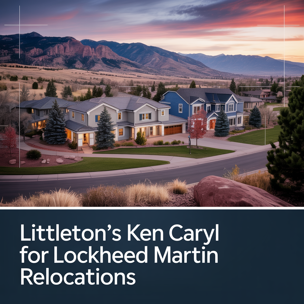
Littleton’s Ken Caryl for Lockheed Relocations
This is part of Lockheed Martin Relocation → [Lockheed Martin Relocation Hub] & the larger Denver Relocation Hub → [Denver Relocation Hub] Written by: Chad Cabalka Ken Caryl is one of the best-kept “family first” relocation options for Lockheed Martin employees who want foothills scenery, strong neighborhood appeal, and a real suburban lifestyle that still feels connected…
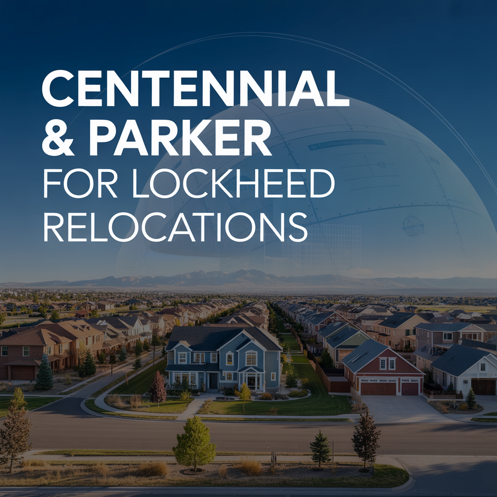
Centennial & Parker for Lockheed Relocations
This is part of Lockheed Martin Relocation → [Lockheed Martin Relocation Hub] & the larger Denver Relocation Hub → [Denver Relocation Hub] Written by: Chad Cabalka Centennial and Parker are two of the smartest suburban choices for Lockheed Martin employees relocating with families because they give you a strong balance of commute flexibility, good neighborhood variety, and…

Highlands Ranch for Family-Friendly Lockheed Relocations
This is part of Lockheed Martin Relocation → [Lockheed Martin Relocation Hub] & the larger Denver Relocation Hub → [Denver Relocation Hub] Written by: Chad Cabalka Highlands Ranch is one of the strongest choices for Lockheed Martin employees relocating with families because it delivers exactly what most parents want after a big move: stable neighborhoods, strong community…