


This is part of Castle Rock Lifestyle Guide → [Castle Rock Lifestyle Hub] & Castle Rock Real Estate Guide → [Castle Rock Real Estate Guide]
Written by: Chad Cabalka
Ridgeline Open Space is basically the “backyard gym and playground” for a huge swath of west Castle Rock. It sits right above The Meadows and Red Hawk, and the way people use it day‑to‑day says a lot about how those neighborhoods actually live.
What Ridgeline Is
Ridgeline Open Space is a roughly 367–370 acre preserved open space sitting on the ridgeline west of town, with about 13–13.5 miles of interconnected soft‑surface and paved trails. The main loop (Stewart Trail) is about 9.5–10 miles, with smaller colored loops and connectors that let you shorten or extend your outing as needed. It’s officially rated “moderate,” with rolling hills, short climbs, and a mix of mesas, valleys, and Gambel oak that feels very Front Range.
The open space sits inside and between The Meadows and Red Hawk, with trailheads off Coachline Road and access from places like Bison Park and neighborhood connectors. It’s open roughly 5 a.m. to 11 p.m., which lines up perfectly with pre‑work workouts and after‑dinner walks.
How Locals Actually Use It
Daily Exercise Loop
For a lot of Meadows and Red Hawk residents, Ridgeline functions as their primary cardio spot:
- Morning runs and walks – People hit the trails before work or right after school drop‑off, using the rolling terrain as built‑in interval training.
- Trail running – The interconnected loops let runners dial in 3 miles, 5 miles, or a full 9–10 mile day without driving to another trailhead.
- Mountain biking – The single‑track is popular for everyday rides; it’s enough variety to be interesting but close enough to home that you can squeeze it into a busy weekday.
The town even calls out Ridgeline as a top hiking/biking system, and it’s been recognized as a “Best Hiking/Biking Trail” in local polls. That tells you this isn’t just a neighborhood cut‑through; it’s a destination for locals.
Evening and Weekend “Reset Space”
Because it sits right above the rooftops, Ridgeline is also where people go to decompress:
- After‑dinner walks – Families and couples head up for a 30–60 minute loop to catch sunset light and views over town.
- Weekend family hikes – Shorter segments from Bison Park or the main Coachline trailhead let parents take kids out for 1–2 miles without committing to a full day in the mountains.
- Dog walks – It’s a regular dog‑walking route, especially from nearby streets; paved connectors make it easy to reach, then the dirt trails give both people and dogs a mental break.
The ridgeline vantage point gives panoramic views of Longs Peak, Mt. Evans, Devil’s Head, Pikes Peak, and the town below when the weather cooperates. That view factor is a big part of why residents keep going back even if they’ve “seen the trail” a hundred times.
Trail Layout and Access in Everyday Terms
Ridgeline’s network is deliberately designed to be flexible:
- Four main colored loops with a big outside ring (Stewart Trail) around 9.5 miles, and smaller inner options if you want less.
- Mileage markers every half‑mile on the main loop, which runners and cyclists use to structure workouts.
- Multiple neighborhood access points via paved paths that feed into the dirt system, making it truly “walk‑out‑your‑door” for many Meadows and Red Hawk streets.
Primary public trailheads include:
- Coachline Road trailhead with parking and direct access to the network.
- Bison Park, where you can park, use the restrooms, and hop straight onto the trails from the ballfields and playground area.
There’s also a pedestrian connection to Philip S. Miller Park via a bridge over Wolfensberger, tying Ridgeline into the broader town trail system. That’s huge for people who like to string together big days or vary their routes.
Safety, Wildlife, and Shared Use
Because Ridgeline is true open space, it comes with typical Front Range realities:
- Wildlife – Deer are common, along with smaller animals and plenty of birds; occasional mountain lion activity is noted, as on most foothills‑adjacent trails, so keeping kids close and dogs under control is wise.
- Rattlesnakes – The town explicitly lists rattlesnakes as part of the wildlife highlights, so staying on trail and being aware in warm months matters.
- Shared use – Hikers, runners, and cyclists all share the trails; the town emphasizes courtesy and awareness, especially on narrower single‑track sections.
Volunteer groups like the Ridgeline Wranglers help maintain the system under the town’s POST Partners program, which gives the space a cared‑for feel and keeps the network in good shape.
What Ridgeline Means for Everyday Life and Housing
For buyers and residents in The Meadows and Red Hawk, Ridgeline changes what “living in a subdivision” feels like:
- You can replace a 20–30 minute drive to a trailhead with a 5–10 minute walk or ride from your front door.
- Your “gym” can be a 3‑mile loop with real elevation, morning sun, and mountain views.
- Kids grow up with a trail system they can explore in stages as they get older, starting with short loops from Bison Park and, later, biking or running bigger sections with friends.
From a real estate standpoint, being near Ridgeline isn’t just about the view; it’s about a built‑in lifestyle asset. When someone says, “We want to be in a place where we actually use the outdoors every day, not just on weekends,” this is exactly the kind of amenity that makes that realistic.
If you want to fold this into your Castle Rock hub, you could frame Ridgeline as “The Everyday Trail System for The Meadows and Red Hawk” and then tie it directly to routine: pre‑work runs, after‑school bike rides, and Sunday walks that start and end in the same neighborhood where people live.
Get the full Denver Market Insights → [Market Insights]


Aurora Southlands Living For Aerospace And Defense Families
This is part of Lockheed Martin Relocation → [Lockheed Martin Relocation Hub] & the larger Denver Relocation Hub → [Denver Relocation Hub] Written by: Chad Cabalka Relocating to Denver for Lockheed Martin changes the home search fast, because Waterton Canyon is not the kind of campus you casually “figure out later.” The southwest metro drives the whole…
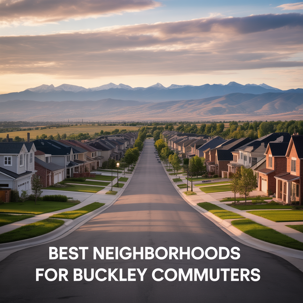
Best Neighborhoods For Buckley Space Force Base Commuters
This is part of Lockheed Martin Relocation → [Lockheed Martin Relocation Hub] & the larger Denver Relocation Hub → [Denver Relocation Hub] Written by: Chad Cabalka If Buckley Space Force Base is the anchor of your move, the best neighborhoods are usually in east and southeast Aurora, with the strongest practical options around Southlands, Murphy Creek, East…
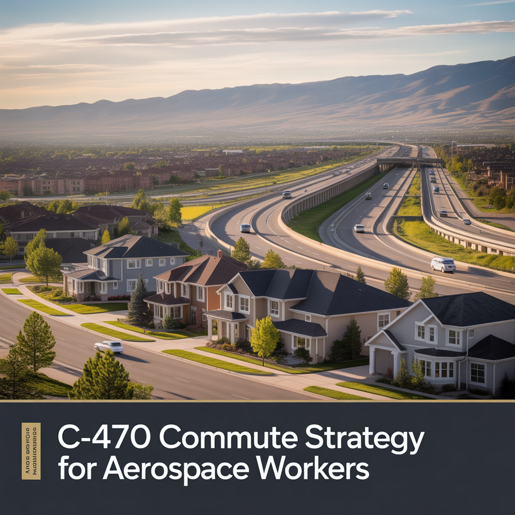
C-470 Commuting Strategy For South Denver Aerospace Workers
This is part of Lockheed Martin Relocation → [Lockheed Martin Relocation Hub] & the larger Denver Relocation Hub → [Denver Relocation Hub] Written by: Chad Cabalka If you work at Waterton, split time between Waterton and the DTC, or live anywhere in the south metro with a Lockheed Martin paycheck attached to it, C-470 is the corridor…