


This is part of Centennial Lifestyle Guide → [Centennial Lifestyle Hub] & Centennial Real Estate Guide → [Centennial Real Estate Guide]
Written by: Chad Cabalka
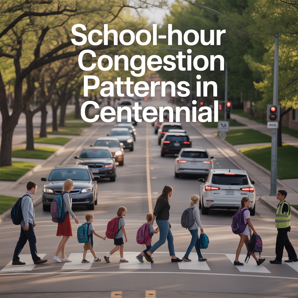
Centennial’s traffic looks completely different at 7:45 a.m. and 2:45–4:00 p.m. than it does the rest of the day, and school patterns are a big reason why. The same arterials that carry normal commuter flow suddenly stack up with buses, teen drivers, and long car‑line queues, especially near the big high schools and K‑8 campuses.
Where and When Congestion Spikes
School‑hour congestion in Centennial is less about freeways and more about busy surface streets that run past campuses. Dry Creek Road and University Boulevard around Arapahoe High School are a textbook example: both roads run at 40–45 mph normally, then drop into much lower, flashing school‑zone speeds during specific windows.
In that area, there are multiple overlapping school zones (for Arapahoe High and a nearby private school), each with different posted limits and enforcement times. The result is a convergence of:
- Parents queuing for drop‑off and pick‑up
- Teen drivers entering and exiting parking lots
- Students on foot crossing to restaurants and shops during lunch and off‑periods
Local traffic engineers note that drop‑off/pick‑up volumes on Dry Creek are especially intense because of the school’s campus layout, so even when University is signed for a higher school‑zone speed, Dry Creek often feels more congested. Similar “micro‑rush hours” play out near other Centennial schools, though the exact streets differ.
How the City Designs and Manages School Zones
Speed limits near schools aren’t arbitrary. Centennial’s traffic staff and CDOT follow guidance that limits the drop between the normal speed and the school‑zone speed to about 15 mph so drivers can react without slamming on the brakes. In the Dry Creek/University example, that’s why:
- University drops from 45 to 30 mph
- Dry Creek drops from 40 to 25 mph
- Franklin on the west side of campus drops from 30 to 25 mph when children are present
Traffic engineers emphasize that each leg is set based on its “base” speed so transitions feel consistent and manageable. Flashing beacons are coordinated between the city and CDOT—University is a state highway, while Dry Creek and Franklin are city‑maintained—so drivers have clear visual cues when school‑zone speeds are active.
The city’s broader transportation and safety planning also flags school‑adjacent locations for targeted improvements like signal timing, turn‑lane adjustments, and multimodal projects on corridors such as Colorado Boulevard near Euclid, where pedestrian and bike safety for students is a specific design focus.
Driver Behavior and Safety Risks
The reality on the ground doesn’t always match the intent of the signage. A statewide AAA survey cited by local media found:
- 38% of Colorado drivers admitted speeding in active school zones
- 30% admitted using their phone in school zones
- 20% admitted driving around a school bus with red lights flashing
- 22% admitted cutting off a school bus for going too slowly
Near Arapahoe High School, observers have documented students both using crosswalks and darting across Dry Creek and University midblock, while some drivers still travel above even the non‑school speed limits. That combination of high volumes, mixed user behavior, and variable speeds is exactly why congestion feels chaotic during bell times—and why fines in school zones are doubled, starting at $66 for just 1–4 mph over the school speed and climbing to over $400 for higher overages.
How This Affects Daily Life and Route Choices
For residents, these patterns change how you actually move through Centennial on school days. In practice, people who don’t have kids at a given school learn quickly to:
- Avoid certain intersections (like Dry Creek/University or other school‑front arterials) in the 20–30 minutes around start and dismissal times
- Shift to parallel routes on nearby collectors or adjust departure by 10–15 minutes to miss the worst queues
- Expect braking waves and sudden lane changes near school driveways as parents enter/exit car lines
Real‑estate and lifestyle guides for Centennial routinely mention peak travel times and advise residents to understand school‑hour traffic when planning commutes and errands. Over years, those micro‑decisions—leaving earlier, using a different arterial, or choosing a home on one side of a school versus the other—become part of your lived experience of the city.
If you live close to a major high school or K‑8 campus, you feel the trade‑off directly: superb access for your own kids, plus extra noise and congestion twice a day on school days. If you live just outside those patterns, you may get easier driving but longer kid trips. Neither is right or wrong, but they age differently depending on your family stage and work schedule.
Planning Around School‑Hour Congestion
For Centennial homeowners and buyers, the practical move is to treat school‑hour congestion as a daily‑life variable, not background noise. A few concrete steps:
- Drive your likely routes near first bell and dismissal when you’re evaluating a neighborhood to see how backup really feels.
- Note any schools along your commute arterials and check where the school‑zone beacons and crosswalks sit, especially on roads like Dry Creek, University, Colorado Boulevard, and other key corridors.
- If you’ll be dropping kids yourself, test the car‑line pattern and surrounding streets; many schools have specific maps and instructions precisely because poorly managed queues spill onto arterials and choke intersections.
Once you’re settled, even small adjustments—leaving ten minutes earlier, using an alternate east‑west arterial, or combining school runs with nearby errands—can tame a lot of the day‑to‑day friction.
If you’d like to dig into how school‑hour traffic interacts with specific Centennial neighborhoods or your own commute pattern, I’m glad to walk it with you. We can look at your real bell schedules, likely routes, and tolerance for congestion and then focus on pockets of the city where the school patterns support your lifestyle rather than constantly working against it.
Get the full Denver Market Insights → [Market Insights]


Aurora Southlands Living For Aerospace And Defense Families
This is part of Lockheed Martin Relocation → [Lockheed Martin Relocation Hub] & the larger Denver Relocation Hub → [Denver Relocation Hub] Written by: Chad Cabalka Relocating to Denver for Lockheed Martin changes the home search fast, because Waterton Canyon is not the kind of campus you casually “figure out later.” The southwest metro drives the whole…
Best Neighborhoods For Buckley Space Force Base Commuters
This is part of Lockheed Martin Relocation → [Lockheed Martin Relocation Hub] & the larger Denver Relocation Hub → [Denver Relocation Hub] Written by: Chad Cabalka If Buckley Space Force Base is the anchor of your move, the best neighborhoods are usually in east and southeast Aurora, with the strongest practical options around Southlands, Murphy Creek, East…
C-470 Commuting Strategy For South Denver Aerospace Workers
This is part of Lockheed Martin Relocation → [Lockheed Martin Relocation Hub] & the larger Denver Relocation Hub → [Denver Relocation Hub] Written by: Chad Cabalka If you work at Waterton, split time between Waterton and the DTC, or live anywhere in the south metro with a Lockheed Martin paycheck attached to it, C-470 is the corridor…