


This is part of Centennial Lifestyle Guide → [Centennial Lifestyle Hub] & Centennial Real Estate Guide → [Centennial Real Estate Guide]
Written by: Chad Cabalka
Centennial residents live in a city that quietly trains you to think in two overlapping grids: the arterials you use all day, and the freeways you tap into when you have to. Over time, which one you lean on more shapes your stress level, your snow days, and even which neighborhoods actually “work” for you.
What Arterials and Freeways Really Are Here
In simple terms, freeways are the big, limited‑access roads — I‑25, I‑225, E‑470 — built for long, fast trips with on‑ramps and off‑ramps instead of stoplights. Arterials are the major surface streets that form Centennial’s one‑mile grid: Arapahoe Road, Smoky Hill Road, Dry Creek Road, Quebec Street, and County Line Road are all classic examples.
The city itself defines arterials as major roadways designed to carry high volumes of traffic at higher speeds than local residential streets, connecting neighborhoods to the highways in and out of Centennial. These arterials are where you spend most of your driving life — to work, school, errands, and the DTC — while the freeways handle your longer jumps into downtown, the airport, or other parts of the region.
How Residents Actually Use Arterials Day to Day
For most Centennial households, arterials are the default. You may only touch I‑25 or E‑470 once or twice a day, but you are almost certainly on an arterial every time you leave the neighborhood. The city’s own traffic documents and snow‑plow priorities make this explicit: major arterials in the one‑mile grid are classified as Priority 1 routes, plowed for all snow events because they carry the bulk of everyday trips.
Roads like Arapahoe, Smoky Hill, Dry Creek, Quebec, and County Line are designed to move you from your subdivision to everything else you need — schools, grocery stores, medical offices, restaurants, and park‑and‑ride lots. Even when you do use freeways, you’re usually spending a good chunk of time getting there via these arterials. That’s why residents will often describe their commute in terms like “Arapahoe to I‑25” or “Smoky Hill to Parker Road” rather than just the highway portion.
Because arterials pass schools and business districts, they’re also where school‑drop traffic, turn‑lane friction, and signal timing make the biggest difference in your daily mood. Corridor studies like the one on Smoky Hill Road specifically exist to evaluate future widening, lane changes, and improvements because that road is already at or near capacity for the kind of trips east‑side residents make all day long.
Freeways: Necessary, But Not for Everything
Freeways come into play when your destination is outside the south‑metro bubble: downtown Denver, DIA, the west side, or longer north–south runs. I‑25 is the spine for downtown and north‑south travel, I‑225 links Centennial to Aurora and the airport corridor, and E‑470 wraps around the metro as a toll option for bypassing congestion or reaching DIA more directly.
For DTC‑bound commuters, the freeway leg is often short or optional — many Centennial residents can reach the Tech Center by staying on arterials and only hopping on I‑25 for an exit or two, if at all. For downtown‑bound commuters, the freeway is unavoidable: you’re on I‑25 or I‑225/I‑25 for long stretches, and your ability to avoid peak‑hour stress depends heavily on timing and access to park‑and‑ride or light rail.
Because freeways are managed by CDOT and designed primarily for through‑travel, they don’t adjust as easily to local conditions like school start times or neighborhood growth. That’s one reason Centennial’s own transportation planning spends so much effort on arterials and connectors: improving how you get to and from the freeway, and how you function if you’d prefer to avoid it altogether.
County Line, Arapahoe, Smoky Hill: Arterials as Lifelines
If you want to see how much arterials matter to Centennial life, look at current and planned projects. County Line Road, which separates Douglas and Arapahoe counties and carries about 25,000 vehicles a day between University and Broadway, is being fully reconstructed and widened with new lanes, sidewalks, and a traffic signal at Clarkson. Local leaders explicitly call it a “shared lifeline” that carries families to schools, workers to jobs, and first responders to emergencies — language you almost never hear about smaller neighborhood streets.
Similarly, the Smoky Hill Road corridor study focuses on how to widen a key east‑side arterial from four to six lanes between Buckley and Liverpool while staying within existing right‑of‑way as much as possible. That work exists because Smoky Hill is already the main east‑side conduit for residents driving to schools, Cherry Creek State Park access, shopping centers, and connections to E‑470 and Parker Road.
City documents describing its traffic‑management program reinforce the same pattern: arterials are built and managed to maintain higher volumes and speeds, with fewer restrictions on their ability to move traffic than local streets. That’s why they’re plowed first, signalized first, and widened first — they’re the arteries that keep Centennial functional in day‑to‑day life.
How This Changes Neighborhood Choice and Daily Stress
From a resident’s standpoint, the arterials‑versus‑freeways balance shows up in a few very practical ways:
- If your daily routine is mostly south‑metro — DTC, south Aurora, Lone Tree — you may only hit the freeway for short hops, and your quality of life depends more on how you experience arterials like Arapahoe, Dry Creek, and County Line.
- If your job or regular commitments are downtown or far north, the freeway becomes unavoidable, and how quickly you can reach I‑25/I‑225 without fighting six school zones may matter more than being buried deep inside a quiet neighborhood.
- In winter, Priority 1 and 2 snow routes — primarily arterials and major collectors — are plowed for all storms, while many local streets (Priority 3) are plowed only when conditions trigger additional action. That means living near a major arterial can literally determine how soon you can safely get out during and after snow events.
Over years, people start to feel these differences more than they notice them. Someone who can slip out of their subdivision, hit a Priority 1 arterial in a minute or two, and avoid long freeway segments often describes their routine as “busy but manageable.” Someone who has to snake through a lot of local streets before facing a long freeway run may gradually feel like every trip is an ordeal, even if the actual distance isn’t that different.
How Residents Mix and Match Routes in Real Life
Most Centennial drivers don’t think in pure categories; they mix arterials and freeways depending on time of day, traffic, and purpose:
- Morning commute: arterials to the nearest logical freeway on‑ramp or straight into the DTC grid.
- Midday errands: mostly arterials and collectors, rarely freeways, unless they’re crossing the metro.
- School and activity runs: almost entirely arterials and neighborhood streets, staying off freeways when kids are in the car unless distance forces the issue.
- Snow or storm days: routes biased toward arterials and state highways because they’re plowed and treated first.
As local projects add lanes, sidewalks, and signals on arterials like County Line and Smoky Hill, and as Centennial continues implementing its transportation plan, residents quietly pick up new “favorite” routes and abandon older ones. That’s why a single improvement — a new signal at Arapahoe & Clarkson, or a widened stretch of County Line — can change not just traffic patterns, but how livable nearby neighborhoods feel day to day.
If you’re evaluating where to live in or around Centennial, it’s worth driving your likely daily routes at real times — not just looking at freeway access on a map. Notice how quickly you reach a major arterial, how many signals you hit, and whether you can reasonably choose arterials over freeways for most of your routine. Over time, that balance will do as much to shape your quality of life as lot size or square footage.
Get the full Denver Market Insights → [Market Insights]


Aurora Southlands Living For Aerospace And Defense Families
This is part of Lockheed Martin Relocation → [Lockheed Martin Relocation Hub] & the larger Denver Relocation Hub → [Denver Relocation Hub] Written by: Chad Cabalka Relocating to Denver for Lockheed Martin changes the home search fast, because Waterton Canyon is not the kind of campus you casually “figure out later.” The southwest metro drives the whole…
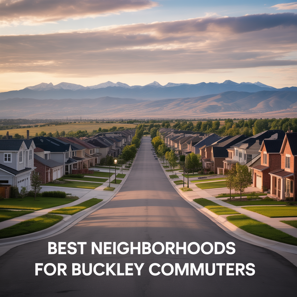
Best Neighborhoods For Buckley Space Force Base Commuters
This is part of Lockheed Martin Relocation → [Lockheed Martin Relocation Hub] & the larger Denver Relocation Hub → [Denver Relocation Hub] Written by: Chad Cabalka If Buckley Space Force Base is the anchor of your move, the best neighborhoods are usually in east and southeast Aurora, with the strongest practical options around Southlands, Murphy Creek, East…
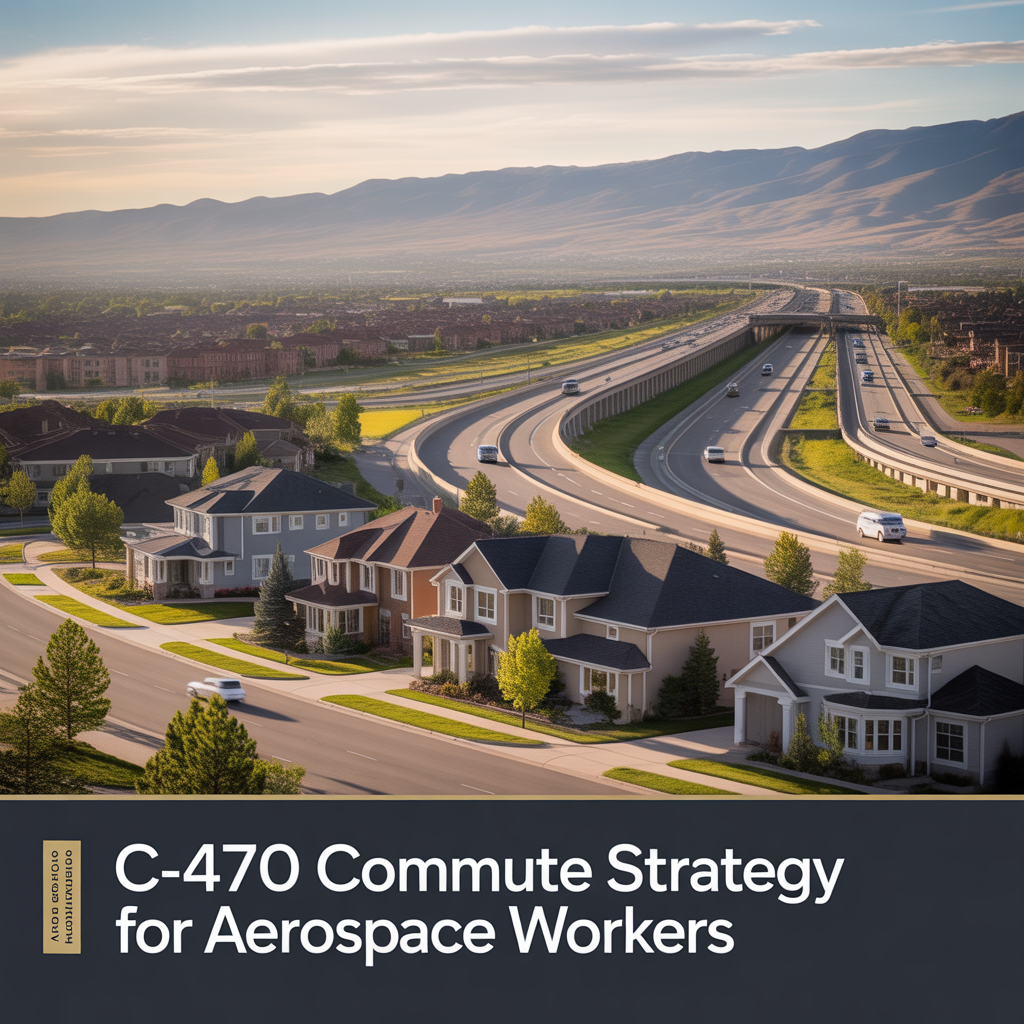
C-470 Commuting Strategy For South Denver Aerospace Workers
This is part of Lockheed Martin Relocation → [Lockheed Martin Relocation Hub] & the larger Denver Relocation Hub → [Denver Relocation Hub] Written by: Chad Cabalka If you work at Waterton, split time between Waterton and the DTC, or live anywhere in the south metro with a Lockheed Martin paycheck attached to it, C-470 is the corridor…