


Chandler Lifestyle Guide → [Chandler Lifestyle Guide] & For more info on Chandler Real Estate → [Chandler Real Estate Guide]
Written by: Renee Burke
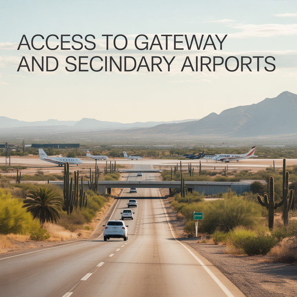
Chandler sits at the perfect crossroads for airport access, with Phoenix-Mesa Gateway (AZA) just 10-20 minutes east for budget flights and quick getaways, while secondary options like Scottsdale (SCF) add private charters 25-35 minutes north. I’ve timed client trips to both over the years, finding Gateway’s proximity transforms spontaneous weekend escapes into reality, especially from south Chandler where Loop 202 east glides smoothly off-peak.
These connections ease relocation worries about isolation — Gateway handles Allegiant’s 40+ domestic routes, while Sky Harbor remains primary for majors, all woven into daily routines without long hauls.
Phoenix-Mesa Gateway (AZA): East Valley’s Quick Hop
Just 10.5-14 miles east near Ellsworth AFB, Gateway shines brightest for Chandler — 16-20 minutes drive via Loop 202 east from Price or Chandler Blvd, often under 15 off-peak through Sossaman Road. Morning reverses flow effortlessly pre-8 a.m.; evenings post-6 p.m. stay light before construction pulses.
Sun Groves cuts it to 12 minutes via McQueen; downtown adds 5 via signals. Bus 156 covers 45-60 minutes for $2 if parking’s tight. Ideal for Allegiant’s Vegas or Tampa runs — south families claim it weekly.
Sky Harbor (PHX): Primary Hub, 25-45 Minutes North
Chandler’s workhorse remains PHX, 20-30 miles northwest via Loop 202 west to I-10, averaging 25-35 minutes off-peak but swelling to 45-65 during 6-9 a.m. rushes. Dobson or Price ramps bottleneck mornings; McQueen skips worst for south zones.
Ocotillo times 28 minutes baseline; west Chandler stretches via Ray. Frequent flyers build 45-minute buffers — resale favors under-35-minute averages.
Scottsdale Airport (SCF): Private Jet Convenience
SCF, 25-35 minutes north via Loop 101, serves charters and flight schools — 24 miles from downtown through 101 west. Peaks add 15 minutes at Indian Bend; reverse evenings glide. Less congestion than PHX, ideal for execs in Fulton Ranch. [context]
Deer Valley (DVT): North Charter Option
Farther at 45-60 minutes northwest via I-17, DVT suits GA traffic — quieter for Chandler pilots, though peaks push 75 minutes. Westside arterials help marginally.
| Airport | Distance | Off-Peak Drive | Peak Times | Chandler Sweet Spot |
|---|---|---|---|---|
| Gateway (AZA) | 10-14 mi E | 16-20 min | +10 min eve | Sun Groves (12 min) |
| Sky Harbor (PHX) | 20-30 mi NW | 25-35 min | 45-65 min morn | Downtown (22 min) |
| Scottsdale (SCF) | 24 mi N | 25-35 min | +15 min rush | Fulton Ranch edges |
| Deer Valley (DVT) | 40 mi NW | 45-60 min | 60-75 min | West Chandler only |
Why Airport Access Defines Chandler Living
Gateway’s proximity counters “suburban trap” fears, enabling quick Allegiant hops to 40 destinations while PHX handles Delta or United seamlessly. South Chandler wins reverse ease; north suits frequent PHX flyers. Hybrid construction pads peaks slightly, but AZ511 keeps you ahead — homes near Loop 202 hold premiums for travelers.
Your Chandler Airport Fit
Chandler’s gateway blend makes travel feel local, not logistical.
If this maps your flight needs near ideal homes, you don’t have to time it alone. I’ve optimized airport routes for years. Reach out — let’s align your wings with the right Chandler landing, one smooth takeoff at a time.
Get the full Phoenix Market Insights → [Market Insights]

-
Shade Coverage and Tree Canopy Differences by Corridor
-
Summer Walkability Reality Near ASU and Mill Avenue
-
Choosing Proximity Based on Personality and Routine
-
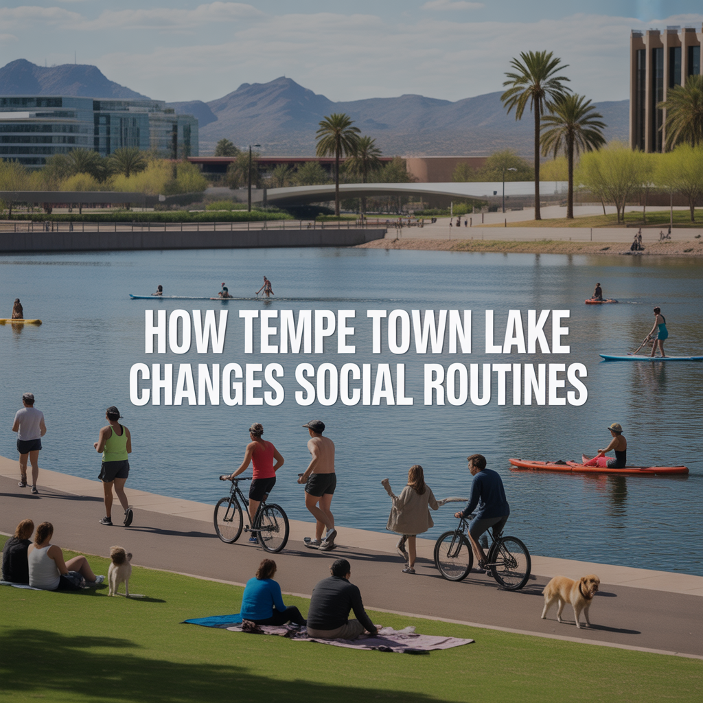
How Tempe Town Lake Changes Social Routines
-
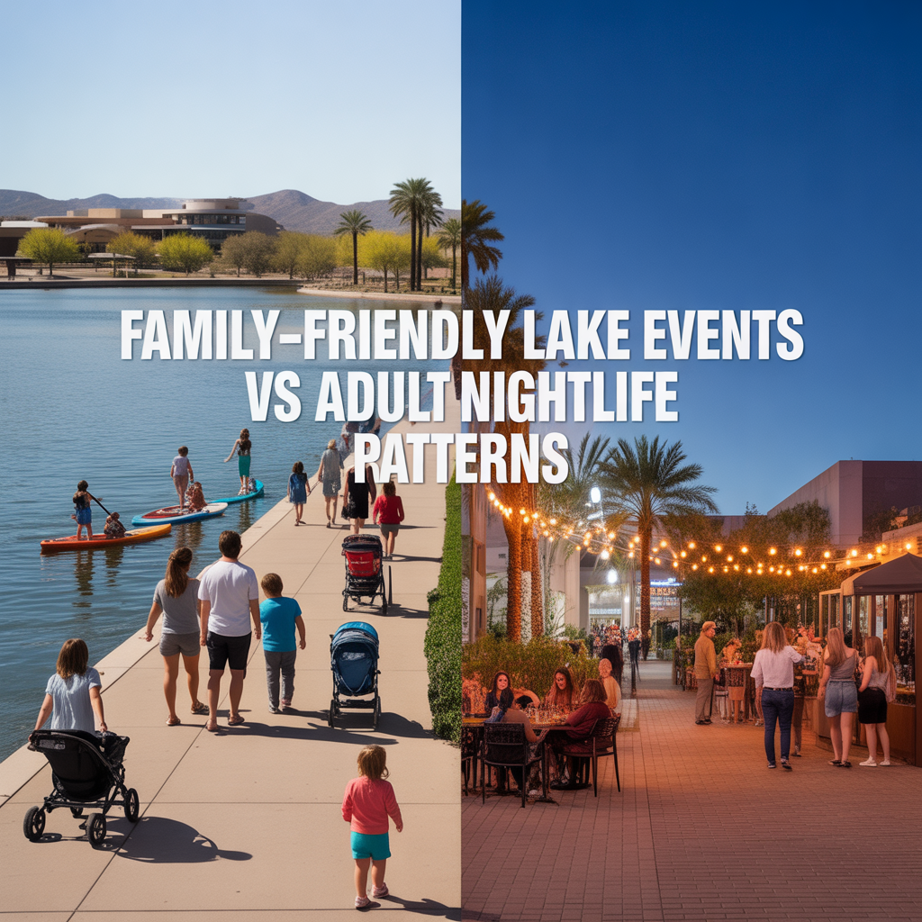
Family-Friendly Lake Events vs Adult Nightlife Patterns
-
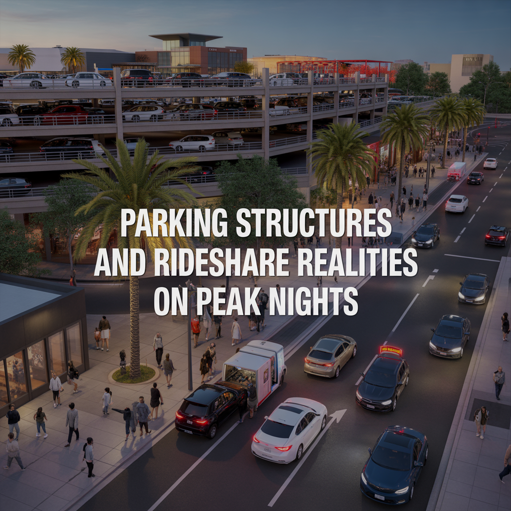
Parking Structures and Rideshare Realities on Peak Nights
-
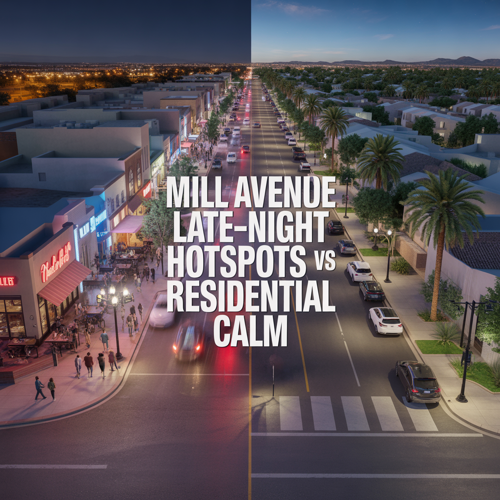
Mill Avenue Late-Night Hotspots vs Residential Calm
-

ASU Game Days and Event Calendar Impacts
-
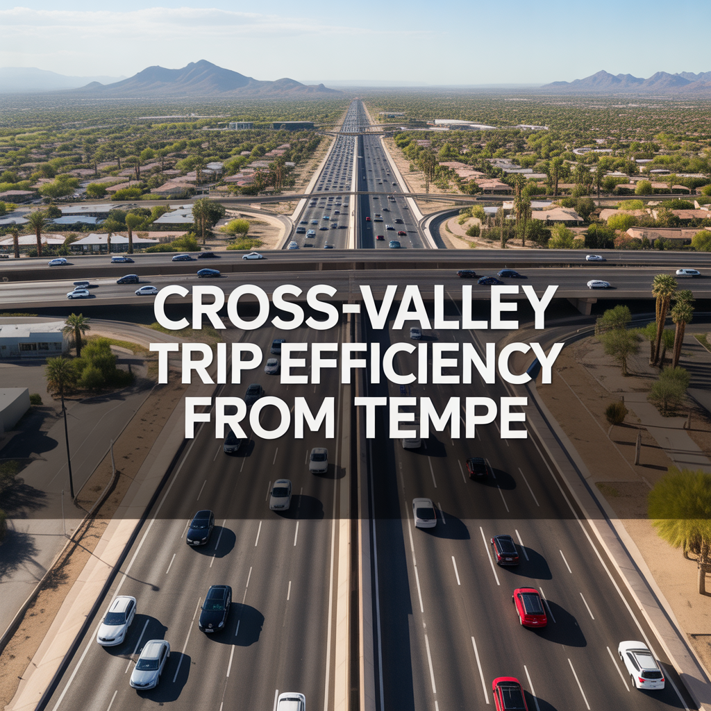
Cross-Valley Trip Efficiency From Tempe
-
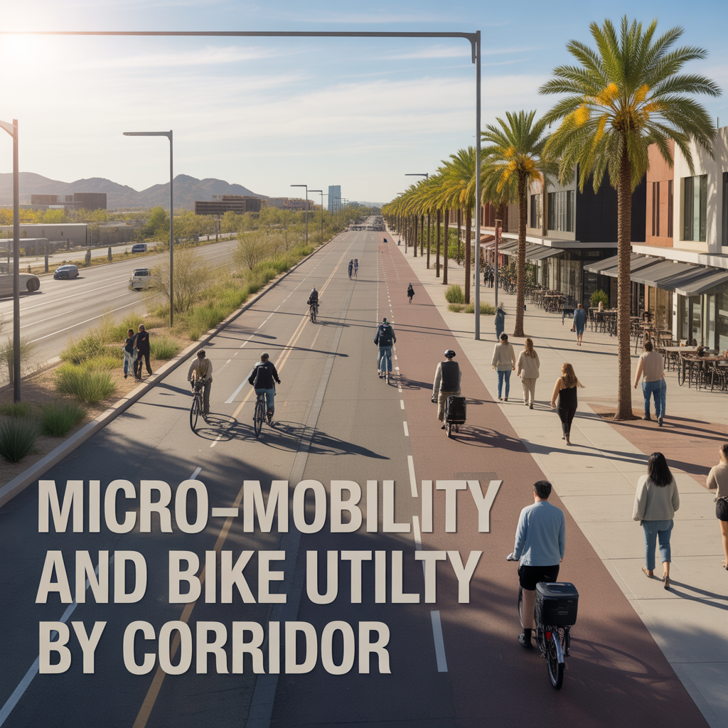
Micro-Mobility and Bike Utility by Corridor
-
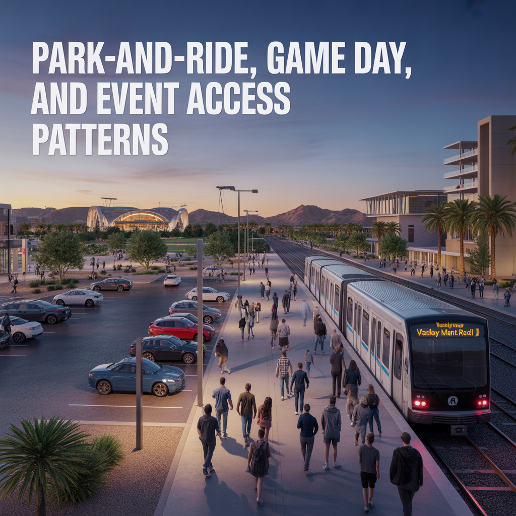
Park-And-Ride, Game Day, and Event Access Patterns
-
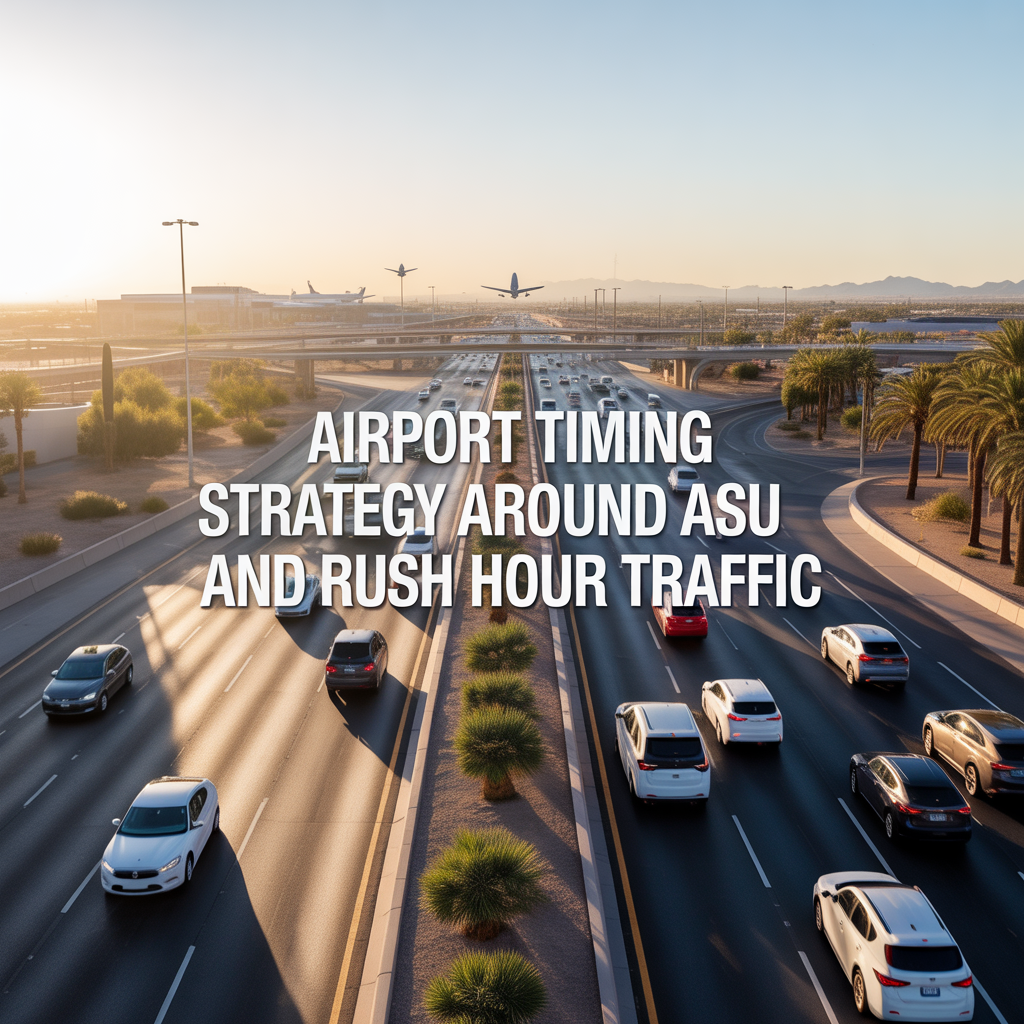
Airport Timing Strategy Around ASU and Rush Hour Traffic
-

Light Rail Use Cases That Actually Improve Daily Life
-
Freeway vs Arterial Routing During Peak Windows
-

Real-World Drive Times to Sky Harbor From Different Tempe Pockets
-
How Traffic and Commute Direction Affect Daily Life in North vs South Tempe
-

Bike Paths, Walkability, and Short-Distance Transportation in Tempe
-
Driving Access From Tempe to Phoenix Sky Harbor Airport
-
Light Rail Access Between Tempe, Downtown Phoenix, and Mesa
-
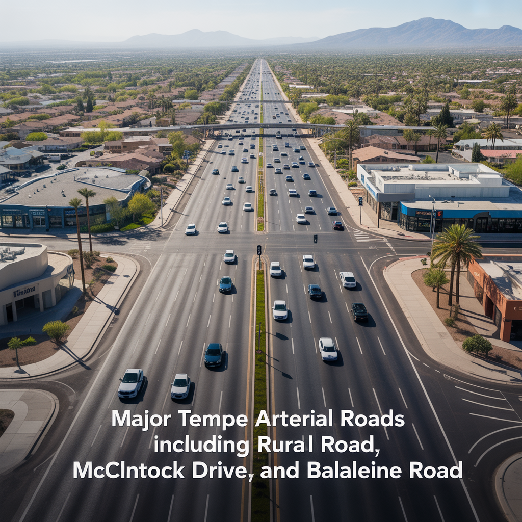
Major Tempe Arterial Roads Including Rural Road, McClintock Drive, and Baseline Road
-
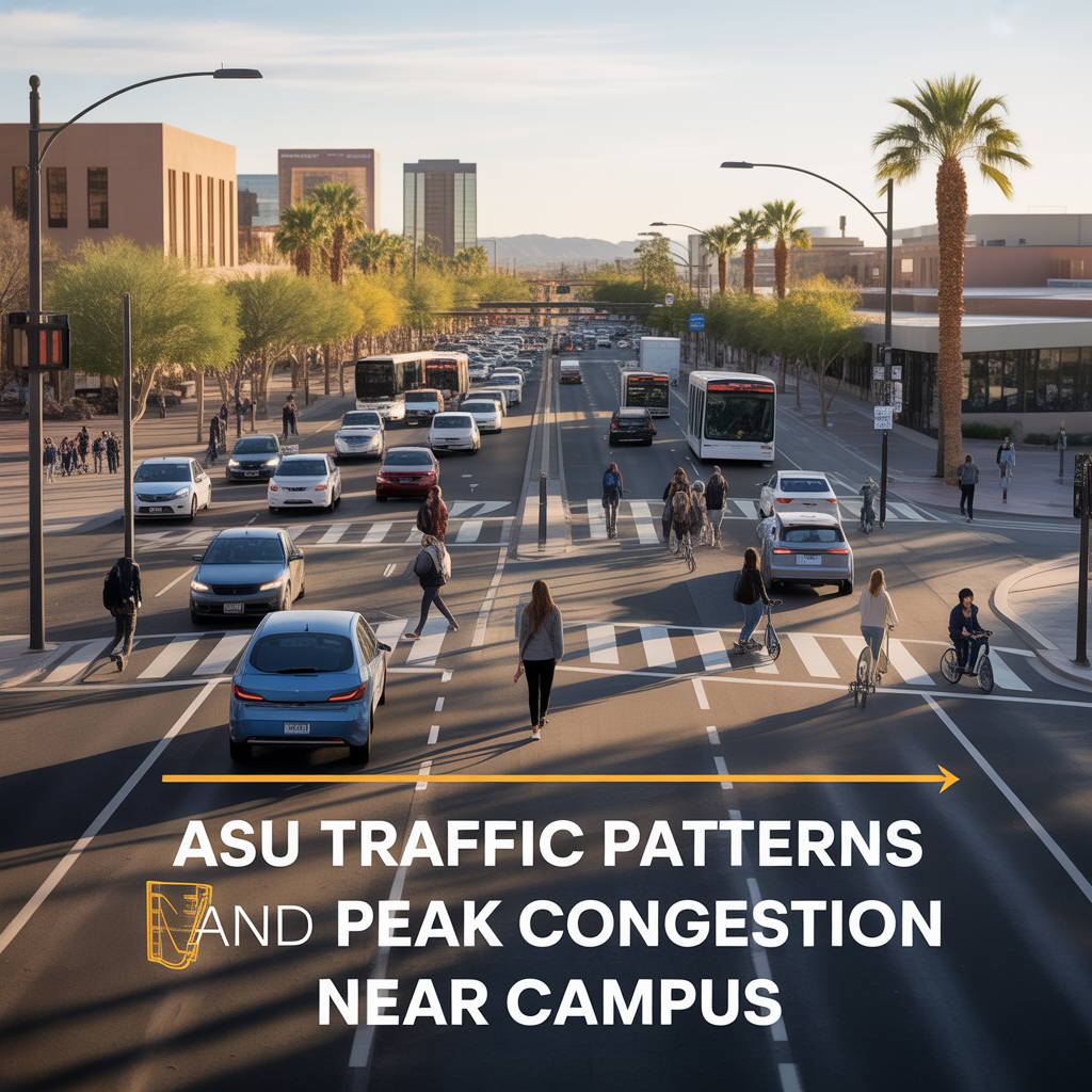
ASU Traffic Patterns and Peak Congestion Near Campus
-
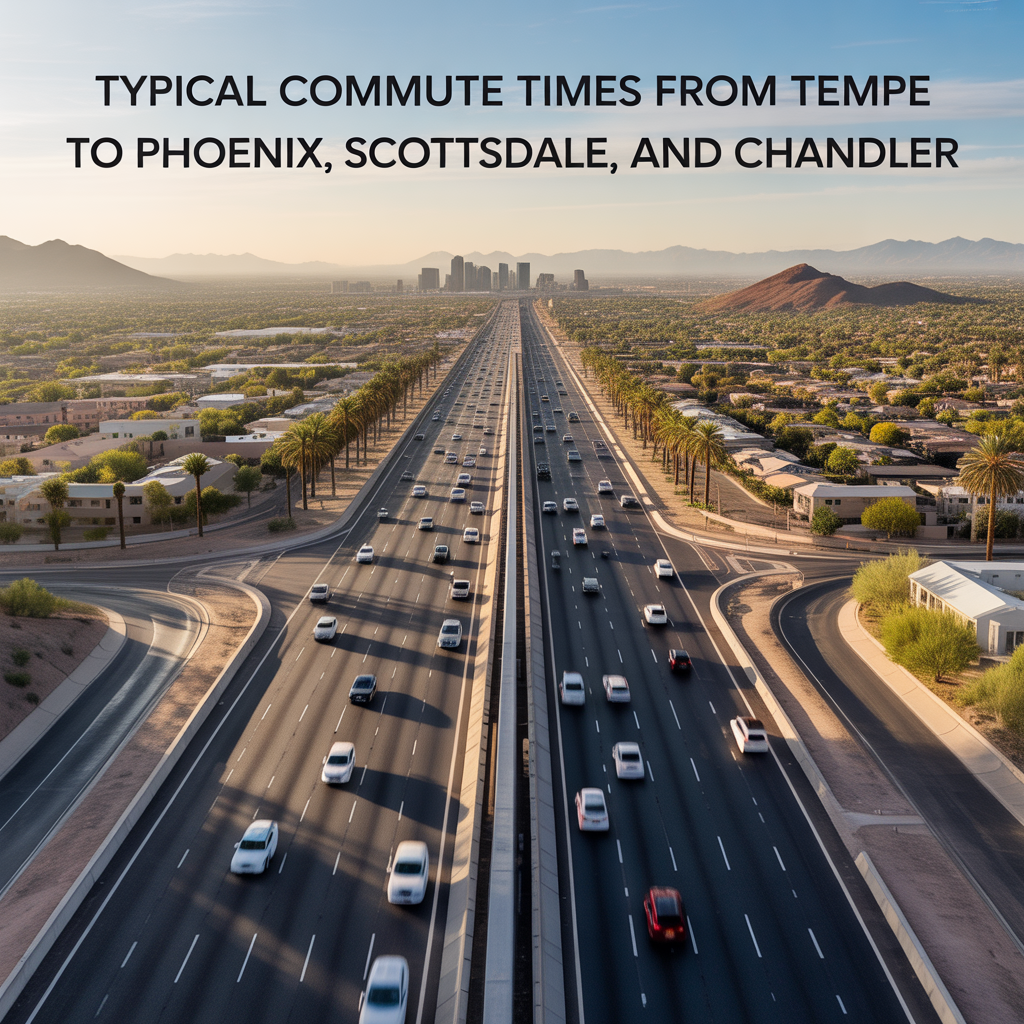
Typical Commute Times From Tempe to Phoenix, Scottsdale, and Chandler
-
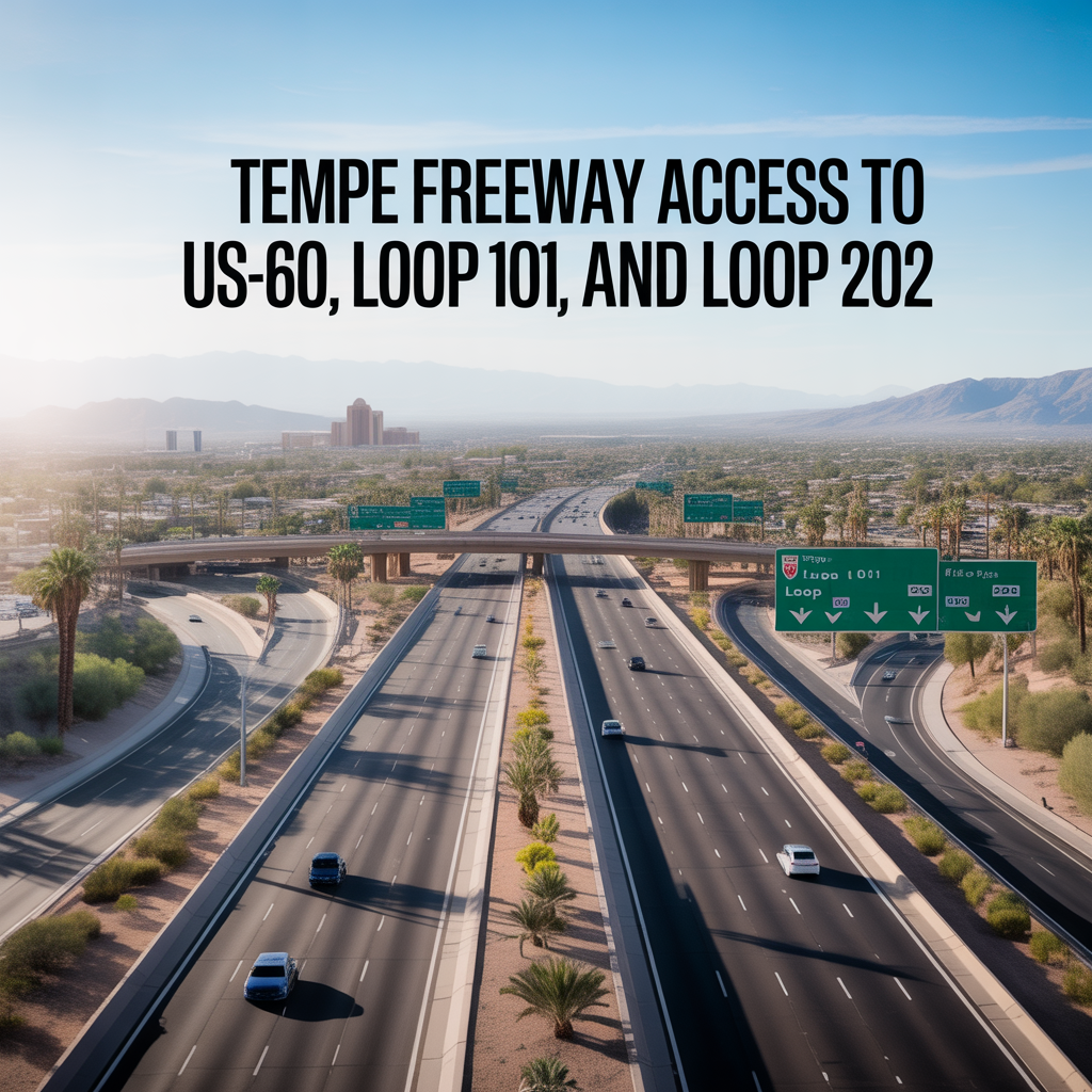
Tempe Freeway Access to US-60, Loop 101, and Loop 202
-
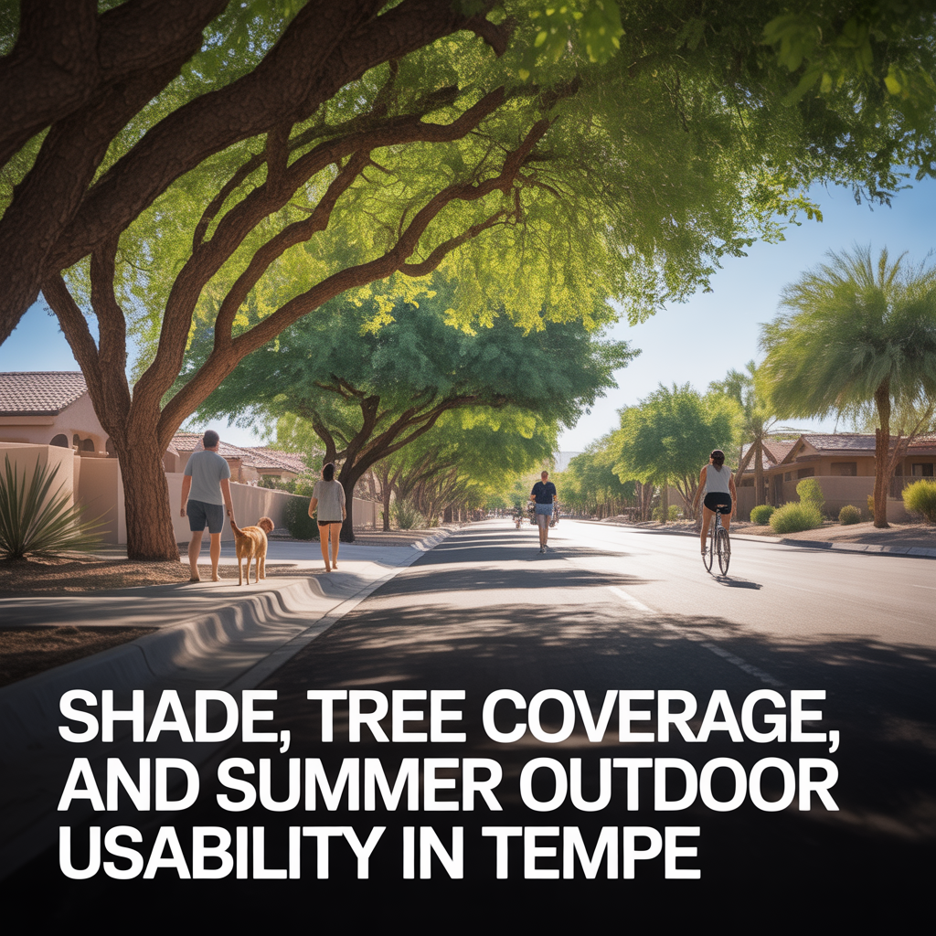
Shade, Tree Coverage, and Summer Outdoor Usability in Tempe
-
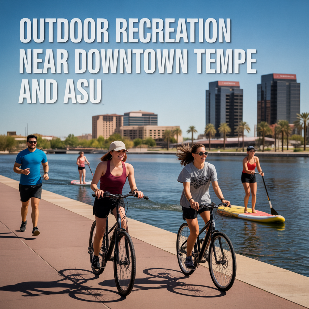
Outdoor Recreation Near Downtown Tempe and ASU