


Chandler Lifestyle Guide → [Chandler Lifestyle Guide] & For more info on Chandler Real Estate → [Chandler Real Estate Guide]
Written by: Renee Burke
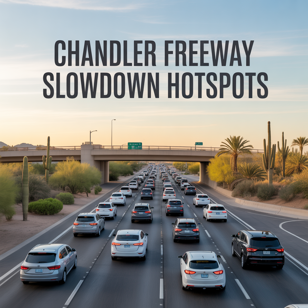
Chandler’s freeway slowdowns cluster around key interchanges where commuters funnel from quiet neighborhoods into broader Phoenix flows, turning smooth drives into patient waits during peaks. I’ve navigated these stretches guiding clients home after late showings, learning which ramps to avoid and when backroads shine, especially with ongoing Loop 202 widening keeping tensions high through 2027.
Construction at Dobson, Alma School, and Price ramps — like the westbound Dobson off-ramp closed until mid-March 2026 — amplifies chronic bottlenecks, but the core hotspots follow work-bound patterns. Let’s pinpoint them by direction and time.
Loop 202 Westbound: Morning Merge Mayhem
Westbound Loop 202 from Price to I-10 clogs hardest 6:30-8:30 a.m., as Ocotillo and Fulton Ranch feed Intel workers toward Sky Harbor. The Price Road interchange backs up first, ramps merging poorly with Chandler Blvd inflows; construction widens lanes but closes exits like Dobson through March.
Sun Groves accesses via McQueen fare better, slipping west pre-7 a.m. before the stack forms.
Loop 202 Eastbound: Evening Exit Squeeze
Eastbound peaks 4-6 p.m., especially west of Loop 101 where mid-afternoon bottlenecks swell toward Gilbert Road. Price and Alma School off-ramps crawl as Fashion Center shoppers join southbound returns; Lindsay Road narrowing adds spillover through late May.
Dobson eastbound on-ramp closures (weekends like Feb 6-8) force detours, but Parkway parallels ease Ocotillo escapes.
Price Road Ramps: North-South Pinch Points
Price interchanges bottleneck both ways — northbound mornings from Ray Road swell tech commutes, southbound evenings past Fashion Center grind with reverse flows. HOV lanes help carpools, but single-occupancy waits 10-15 minutes extra at peaks.
Tech corridor townhomes time lights carefully; signals adapt but can’t erase volume.
Ray and Chandler Blvd Crossovers: Arterial Freeway Clashes
Ray Road westbound to Loop 202 mornings, eastbound evenings from Gilbert — signals at Price and McQueen pulse with merges. Chandler Blvd mirrors it, construction bridge work over canals adding lane shifts.
Downtown’s Arizona Avenue stays aloof, walkability its quiet advantage.
Dobson and Alma School: Ramp Closure Chaos
Dobson westbound off-ramp (closed since Jan 2026) and Alma eastbound off-ramp (60-day closure from Jan 30) force zigzags — westbounders detour to Price, eastbound to Arizona Avenue. Lindsay underpasses narrow to one lane each way through May.
West Chandler skips via Ray; south zones hug McQueen for relief.
How Freeway Hotspots Shape Home Choices
These slowdowns reward perimeter living — south via McQueen flows freer, west Ray arterials dodge ramps, downtown walkability ignores them entirely. Construction softens post-2027 with added lanes, but hybrid shifts already spread loads, favoring homes near trails over freeways. Adjacent properties hold value through patient buyers who master timings.
Chandler’s Traffic Management Center tunes 230 signals real-time, blunting worst surges.
Your Smooth Chandler Routes
Chandler’s freeway hotspots are temporary tests in a growing city, navigated with local know-how.
If this flags concerns near your target areas, you don’t have to detour alone. I’ve mapped traffic-smart homes for years. Reach out — let’s chart your clear path forward, one open ramp at a time.
Get the full Phoenix Market Insights → [Market Insights]

-

Parent and Community Networks in Phoenix
-

Family Morning and Evening Routines
-
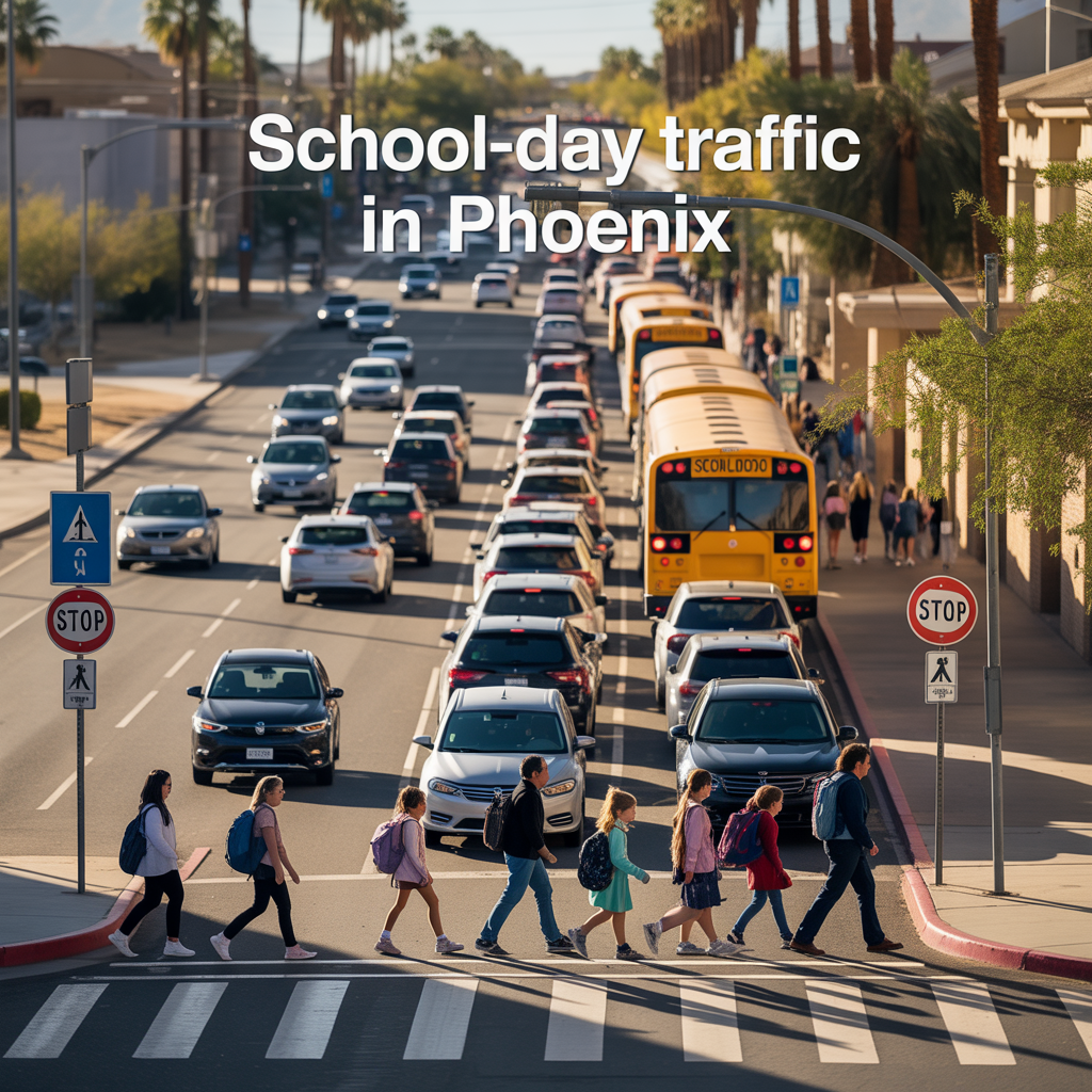
School‑Day Traffic in Phoenix
-

Heat and Microclimates in Phoenix
-
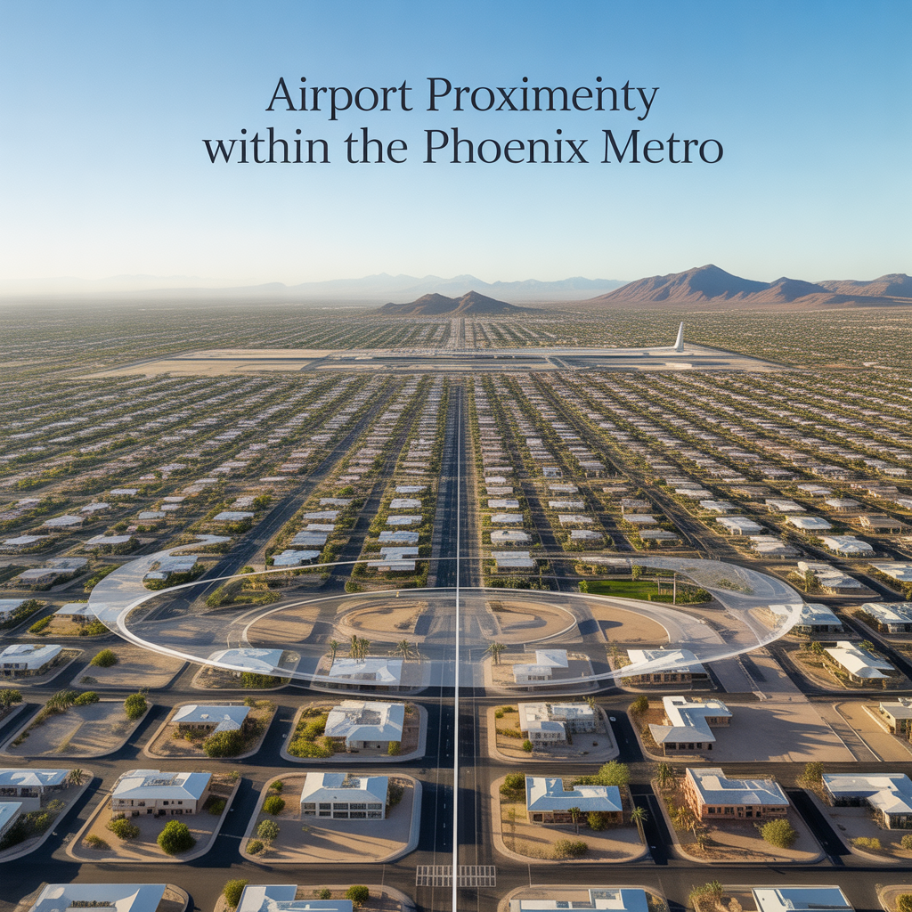
Airport Proximity Within the Phoenix Metro
-
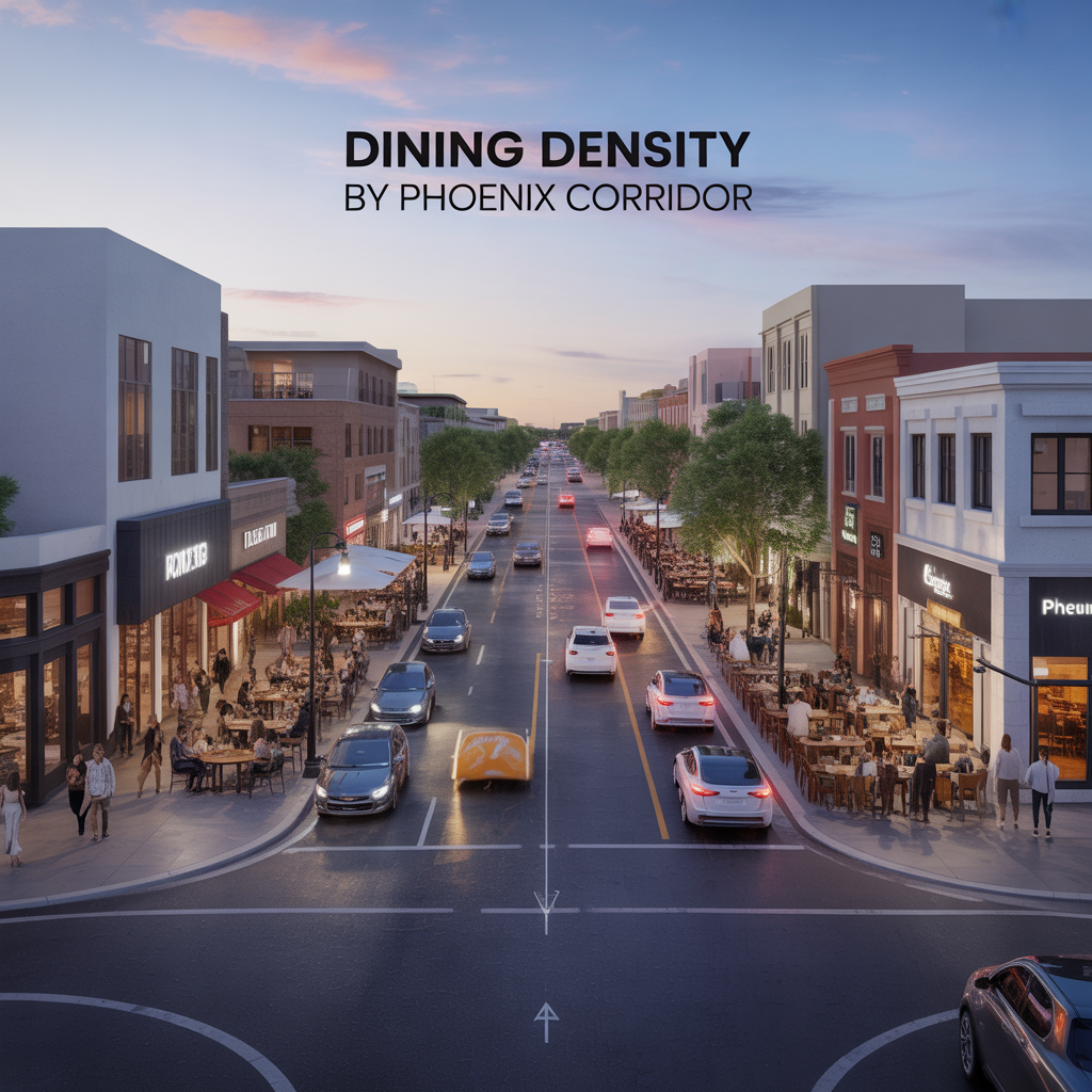
Dining Density by Phoenix Corridor
-
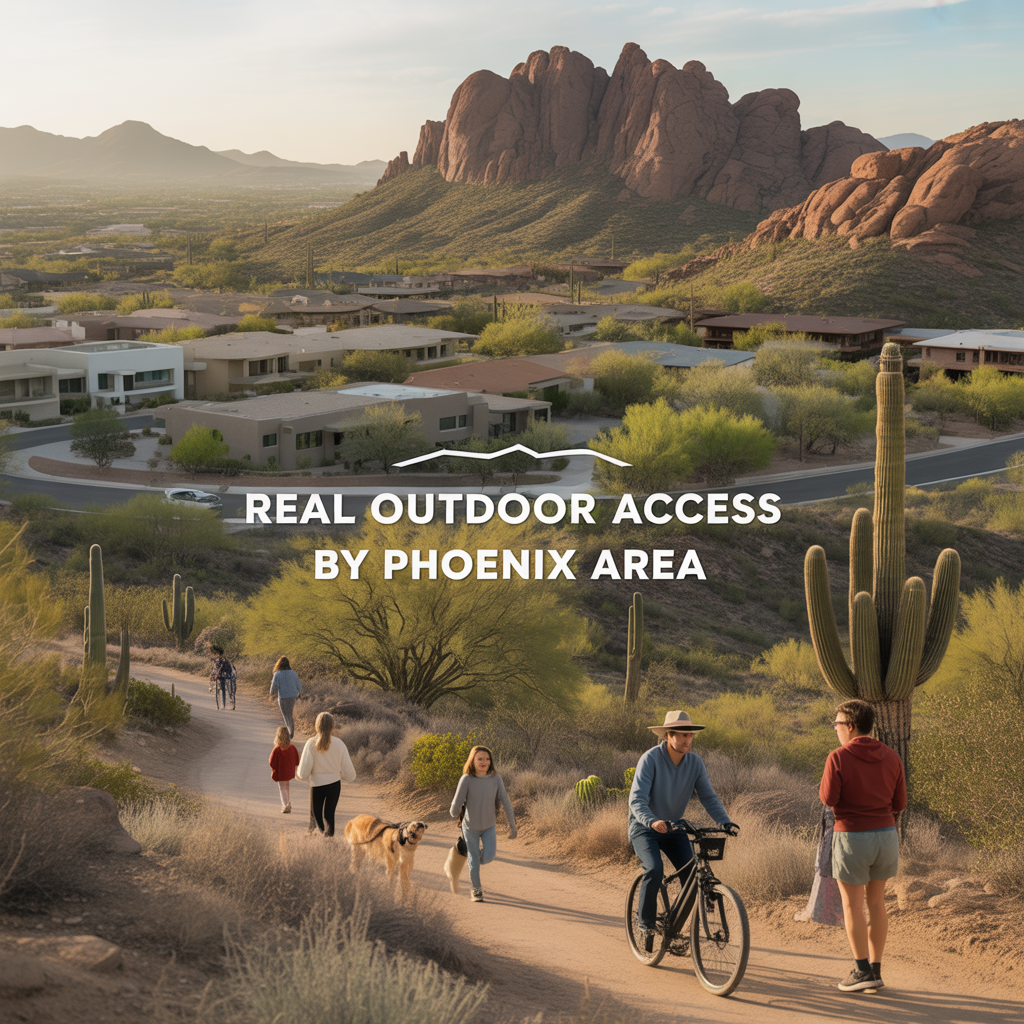
Real Outdoor Access by Phoenix Area
-
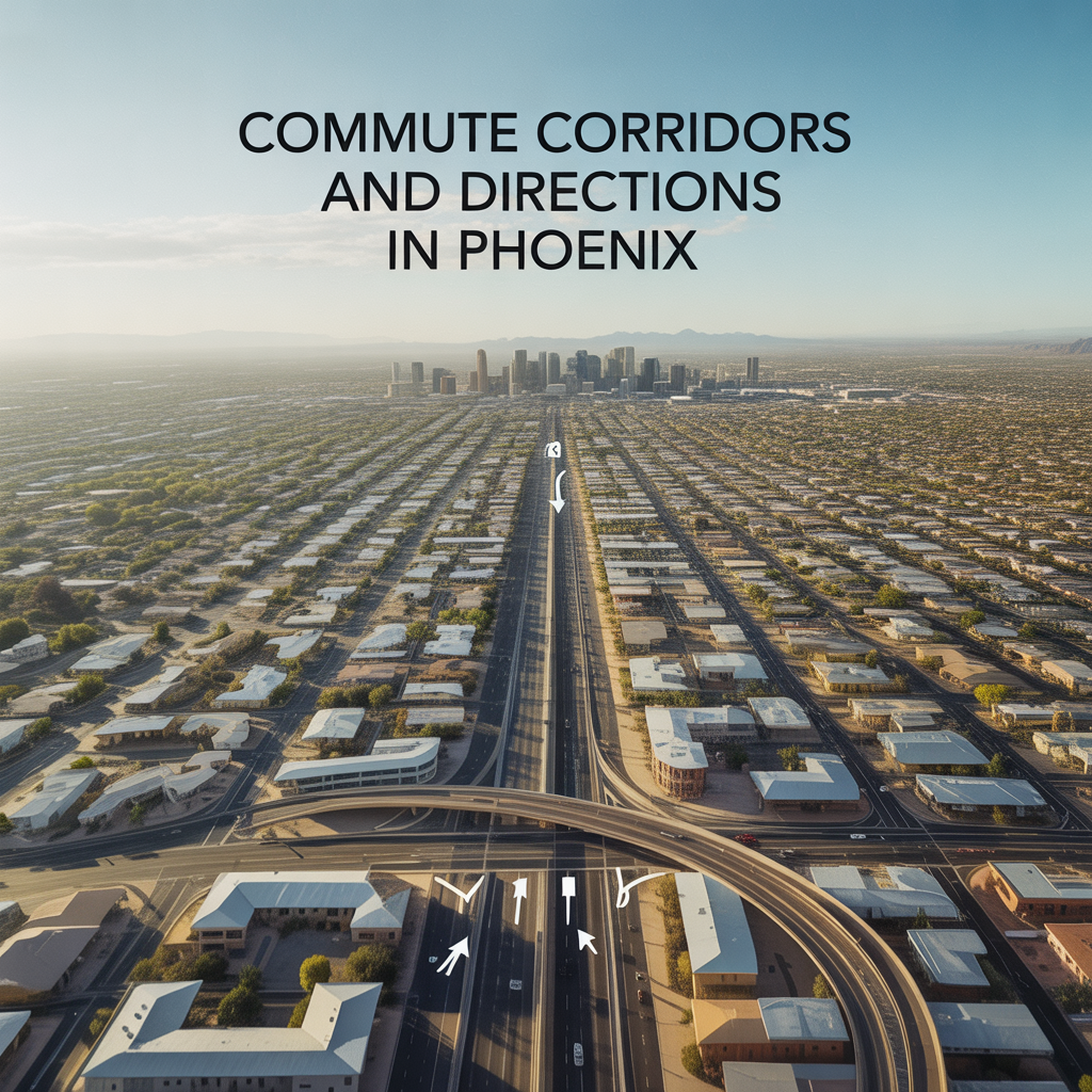
Commute Corridors and Directions in Phoenix
-
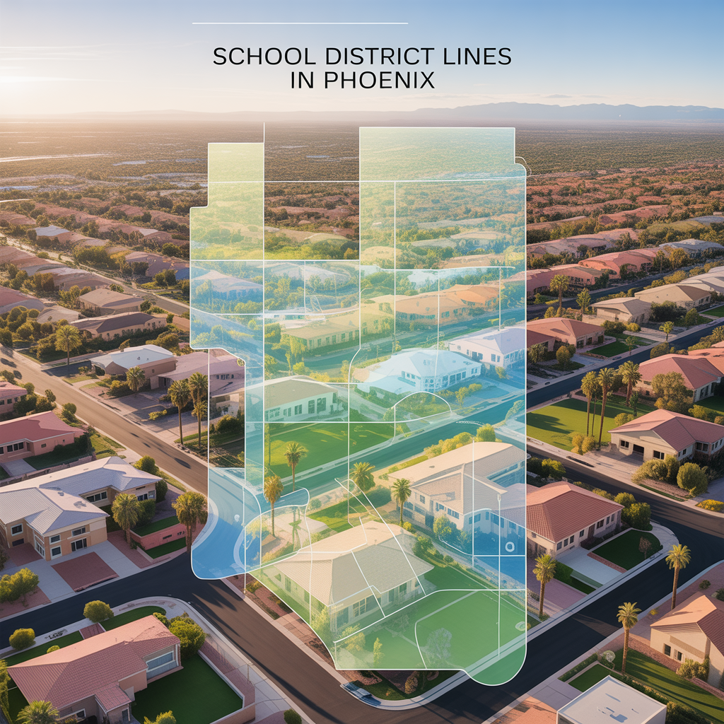
School District Lines in Phoenix
-

How Lot Size, Zoning, and Layout Impact Investment Flexibility
-
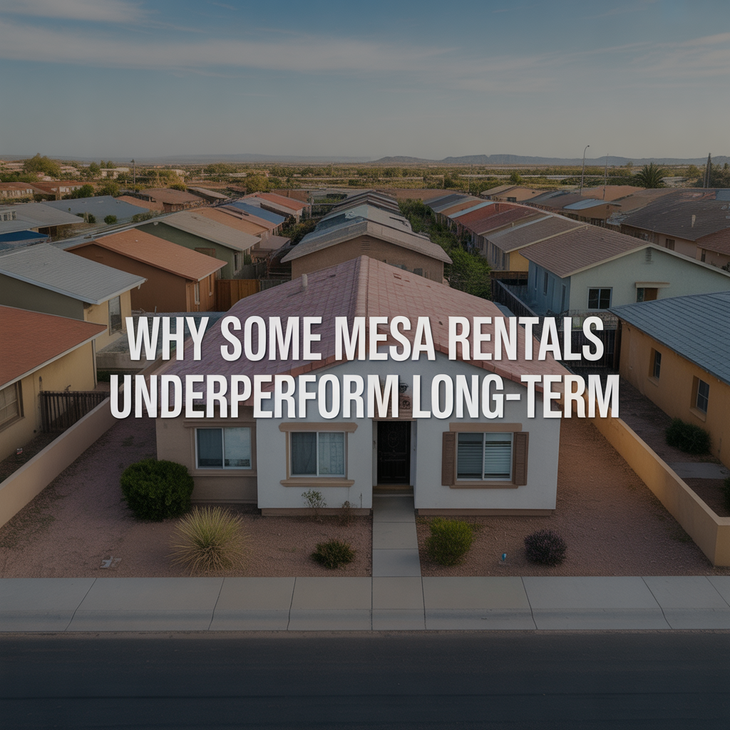
Why Some Mesa Rentals Underperform Long‑Term
-
What First‑Time Buyers Regret After Buying in Mesa
-
Why First‑Time Buyers Overpay in Competitive Mesa Neighborhoods
-
The First‑Time Buyer Tradeoff Nobody Explains in Mesa
-
How Lifestyle Priorities Shift After Moving to Mesa
-

Why Some Relocating Buyers Choose Mesa First
-
What Relocating Buyers Misjudge About Mesa
-
When Luxury Buyers Walk Away in Mesa — Even at the Right Price
-

The Hidden Risk of Over‑Improving a Luxury Home in Mesa
-
Mesa vs Other East Valley Cities: Which Holds Value Best?
-
How Mesa Real Estate Has Changed Over the Last 10 Years
-

Is Mesa Real Estate a Good Long‑Term Investment?
-
Property Taxes & Ownership Costs in Mesa
-
Underrated Mesa Neighborhoods Buyers Overlook
-

Older vs Newer Sections of Mesa: What Buyers Prefer