

Chandler Lifestyle Guide → [Chandler Lifestyle Guide] & For more info on Chandler Real Estate → [Chandler Real Estate Guide]
Written by: Renee Burke
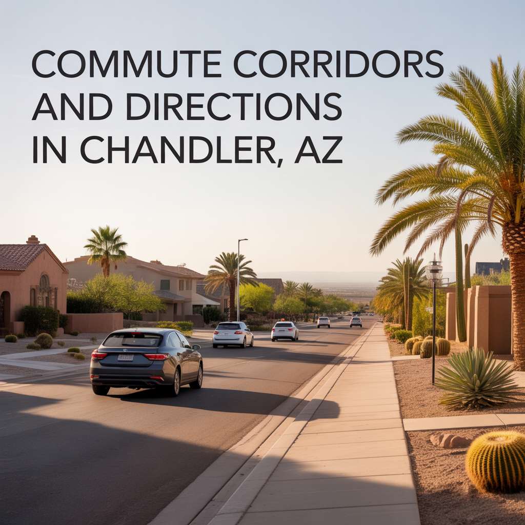
In Chandler, most daily commutes revolve around a few key freeway corridors and a handful of major surface streets that quietly shape how the city actually moves.
The Big Picture: How Chandler Flows
Chandler sits in the southeast Valley, and its commute patterns are deeply tied to tech jobs along the Price Corridor, offices in Tempe and Phoenix, and connections to the broader East Valley.
Morning traffic is usually heavier heading west and north toward Tempe, Phoenix, and Scottsdale, with evening traffic flowing back east and south into Chandler neighborhoods.
Major Freeway Corridors
These are the backbone routes most Chandler residents rely on day to day.
- Loop 101 (Price Freeway)
Runs north–south along Chandler’s western edge, often called the Price Road side. It connects Chandler to Tempe, Scottsdale, and the northern East Valley, and ties directly into Loop 202.
This corridor is also home to the Price Road employment corridor, where many major tech and corporate employers sit right off the freeway. - Loop 202 (Santan Freeway)
Forms a southern arc through Chandler and Gilbert, linking into I‑10 on the west and US‑60 further north via other connections.
It’s the key route for Chandler residents heading west toward Phoenix or north via I‑10, and for people commuting in from Queen Creek, Gilbert, and other East Valley suburbs. - I‑10 (Papago Freeway)
Sits just west of Chandler’s boundary but is crucial for commuters going into central Phoenix or the West Valley. Many Chandler drivers use Loop 202 or Loop 101 to reach I‑10, depending on where they live and work.
Primary Surface Streets and Directions
Underneath the freeway grid, Chandler’s main arterials carry a lot of local commute traffic and offer important backup routes.
- Price Road
Parallels Loop 101 and forms the heart of the Price Corridor, Chandler’s biggest employment hub.
If you work in one of those tech or corporate campuses, living close to Price Road often means you can rely more on surface streets and less on long freeway stretches. - Chandler Boulevard
One of the city’s key east–west arteries, crossing most of Chandler and connecting residential neighborhoods to shopping, schools, and job centers.
It’s important enough that the city’s Transportation Master Plan identifies it as a future high‑capacity transit corridor. - Arizona Avenue
A major north–south spine through Chandler, tying downtown Chandler to other parts of the East Valley.
Like Chandler Boulevard, it’s flagged for enhanced transit in future planning, reflecting just how central it is to daily movement. - Rural Road / Kyrene Road
On the western side of Chandler, these roads help residents connect up into Tempe, especially those who straddle the Chandler–Tempe line or work near ASU or the I‑10 corridor.
Key Employment Corridors and Commute Pulls
Where people work has a huge influence on which routes really matter.
- Price Corridor
Anchored around Price Road and Loop 101/Loop 202, this is Chandler’s largest employment district and a major tech hub, with multiple Fortune 500 offices clustered here.
Because of direct freeway access, employers in this corridor can draw from a workforce within about a 30‑minute drive across much of the metro, which is why you’ll see steady flows into and out of this area at commute times. - Regional Tech and Office Nodes
Many Chandler residents also commute to Tempe, Phoenix, and Scottsdale for work. Those trips typically use Loop 101 northbound, Loop 202 westbound, and then I‑10 or cross‑valley connectors.
Typical Commute Directions and Patterns
While every household’s routine is different, some patterns are very common.
- Toward Tempe and ASU
Most people use Loop 101 north or surface routes like Rural/Arizona Ave up into Tempe, then connect into the campus or business districts. - Toward central Phoenix
Many Chandler commuters hop on Loop 202 west to I‑10, then head northwest into downtown or Midtown. - Within Chandler
Residents who work in Price Corridor or other local business parks often stitch together Chandler Boulevard, Price Road, Arizona Avenue, and the Loop 101/202 interchanges, choosing whichever combination avoids the heaviest choke points.
Transit and Alternatives
Chandler is still very car‑dependent, but there are some options beyond driving.
- Bus service (Valley Metro)
Fixed‑route buses connect major streets in Chandler to the wider metro system, helping some commuters reach jobs or schools without driving alone. - Light rail connections
Valley Metro Rail primarily serves Phoenix and Tempe, but Chandler residents can connect via park‑and‑ride or bus links into that corridor, especially for downtown Phoenix or ASU‑area commutes. - Planned high‑capacity corridors
The city’s Transportation Master Plan highlights future bus rapid transit (BRT) style upgrades along streets like Rural Road, Chandler Boulevard, and Arizona Avenue, reinforcing their role as key commute spines over time.
If you’re trying to make sense of how your own commute might feel from a particular Chandler neighborhood — whether you’re headed into Price Corridor, Tempe, downtown Phoenix, or one of the other East Valley job centers — I’m happy to walk through it with you step by step. We can look at which freeways you’d actually use, what the main backup routes are, and how to choose a home that makes your daily drive feel manageable, not overwhelming. You do not have to figure that out on your own; I’m here as a long‑term guide to help you match your next home to the commute and lifestyle that make sense for you.
Get the full Phoenix Market Insights → [Market Insights]