


Chandler Lifestyle Guide → [Chandler Lifestyle Guide] & For more info on Chandler Real Estate → [Chandler Real Estate Guide]
Written by: Renee Burke
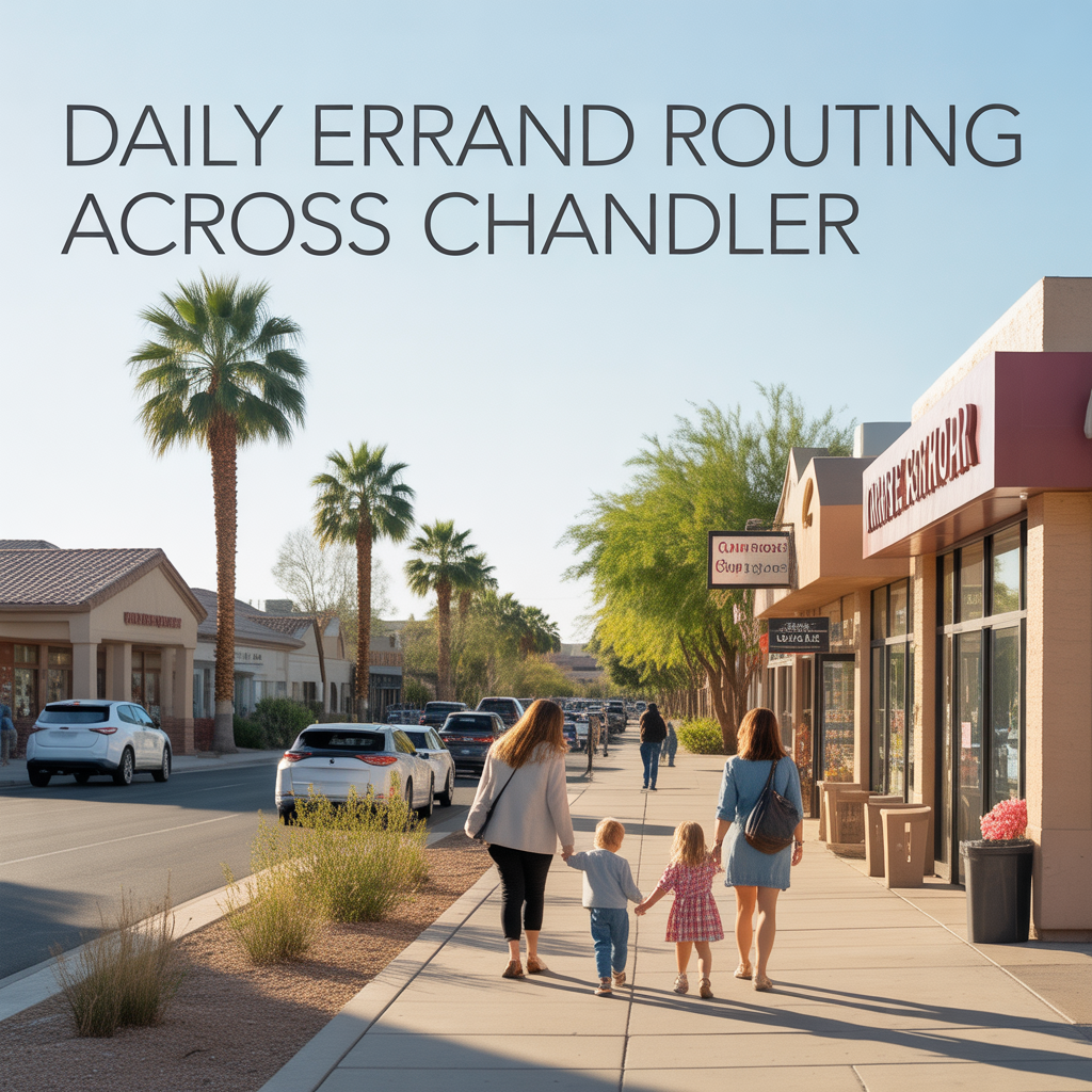
Daily Errand Routing Across Chandler
By Renee Burke, Phoenix-Area Real Estate Professional
Chandler’s daily errands flow best when you loop them smartly around neighborhood hubs, turning grocery runs, school drop-offs, and coffee stops into single, stress-free circuits rather than scattered drives. I’ve refined these routes over years of client showings and my own routines here, always mindful of peak traffic on Price or Ray while hitting essentials like pharmacies, markets, and dry cleaners. The city’s arterials — Chandler Blvd, Ray Road, and Loop 202 edges — connect everything efficiently if you cluster by zone.
These patterns save 20-30 minutes daily, easing that “endless driving” worry for families in sprawling suburbs. Let’s map practical loops by area, tailored to morning or evening flows.
Downtown Chandler: Compact Urban Circuit
Start at Dr. A.J. Chandler Park for coffee at Lux, loop Arizona Avenue to Walgreens for scripts, then Fry’s Marketplace for groceries — all under 2 miles, walkable or 5-minute drives. Add a dry cleaner on Boston Street before swinging back via San Marcos for school runs at Knox Gifted Academy. Mornings pre-8 a.m. keep it fluid; evenings dodge Art Walk foot traffic.
Perfect for historic homeowners who value proximity over parking — errands feel like neighborhood strolls, boosting daily calm.
Ocotillo: Lakefront Essentials Loop
From Fulton Ranch, head Queen Creek Road to Safeway and CVS, circle back via Dobson to Ocotillo’s Sprouts Farmers Market, then hit the Living Room Wine Café for a quick lunch pickup. Under 4 miles total, with lake views softening the drive. Mornings flow west to east; evenings use Parkway to skip Ray snarls.
Gated residents love this self-contained rhythm — errands blend with waterfront walks, preserving that resort-like pace.
Price Corridor: Tech Hub Efficiency Run
Tech families start north at Chandler Fashion Center’s AJ’s Fine Foods and Walgreens, drop south on Price to Rite Aid near Intel, then loop Ray Road west to Starbucks and post office before home. 6-mile circuit peaks light before 9 a.m. or after 6 p.m., avoiding lunch rushes.
Apartment dwellers master it for speed; townhomes gain from signal-tuned lights, turning errands into decompression laps.
Sun Groves South: Family-First Outpost Loop
South Chandler hits Bashas’ and CVS on McQueen first, circles Riggs Road to Tumbleweed Park for playground pit stops, then Walmart Neighborhood Market near Pecos Ranch. 5 miles max, with Paseo Trail parking for bike extensions. Mornings pre-school fly; afternoons sync with sports practices.
Cooper Commons parents build lives around this — shaded lots and quick ramps make it toddler-proof.
West Chandler: Relaxed Ranch Run
Ray Road anchors westside: start at Fry’s off 54th Street, hit Ace Hardware and vet clinic, loop Alma School south to Dairy Queen for treats, back via Desert Breeze Park benches. 4-mile gentle circuit clears anytime, Ray signals forgiving off-peak.
Mature neighborhood vets swear by it — errands double as dog walks, nurturing that rooted feel.
| Zone | Core Loop (miles) | Key Stops | Best Time | Traffic Dodge |
|---|---|---|---|---|
| Downtown | 2 mi circle | Fry’s, Walgreens, Lux | Pre-8a eve | Walk Arizona Ave |
| Ocotillo | 4 mi lake loop | Sprouts, CVS, Safeway | Morn west-east | Parkway back |
| Price Corridor | 6 mi tech run | AJ’s, Rite Aid, Starbucks | Post-6p | HOV ramps |
| Sun Groves | 5 mi south oval | Bashas’, Walmart, Tumbleweed | School sync | McQueen entry |
| West | 4 mi ranch trail | Fry’s, Ace, DQ | Anytime | Ray locals |
Why Smart Routing Elevates Chandler Days
Clustered hubs around Chandler Blvd and Ray mean no errand exceeds 10 minutes off-peak, buffering peaks on Loop 202 edges. Families save hours weekly, channeling energy into parks or patios instead — a subtle value lift for walkable zones like downtown, where resale favors convenience kings.
It counters “spread-out suburb” fears beautifully, making Chandler feel connected at human scale.
Your Chandler Errand Flow
These routes turn daily to-dos into seamless extensions of home life across Chandler.
If this maps the easy access you want near your next place, you don’t have to plot alone. I’ve fine-tuned them for so many families settling here. Reach out — let’s craft your perfect loop, one efficient turn at a time.
Get the full Phoenix Market Insights → [Market Insights]

-
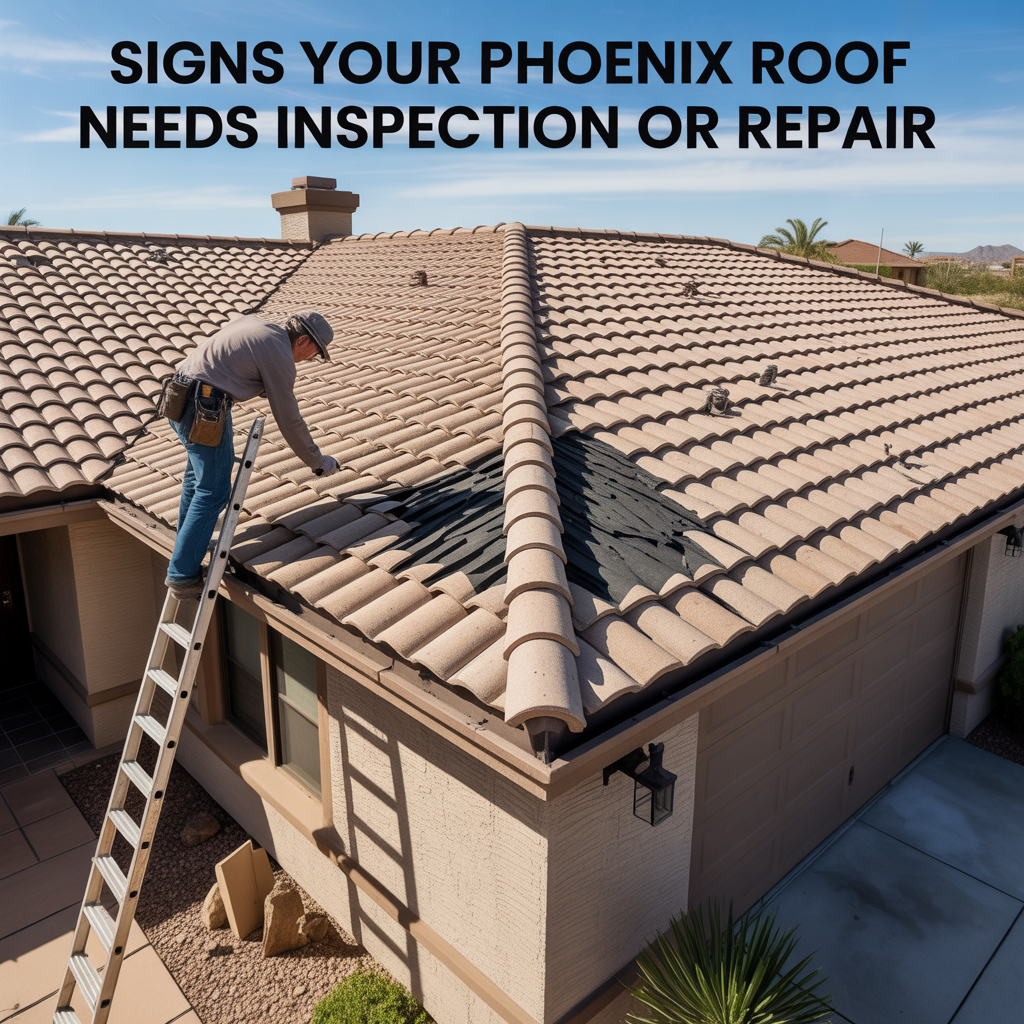
Signs Your Phoenix Roof Needs Inspection or Repair
-
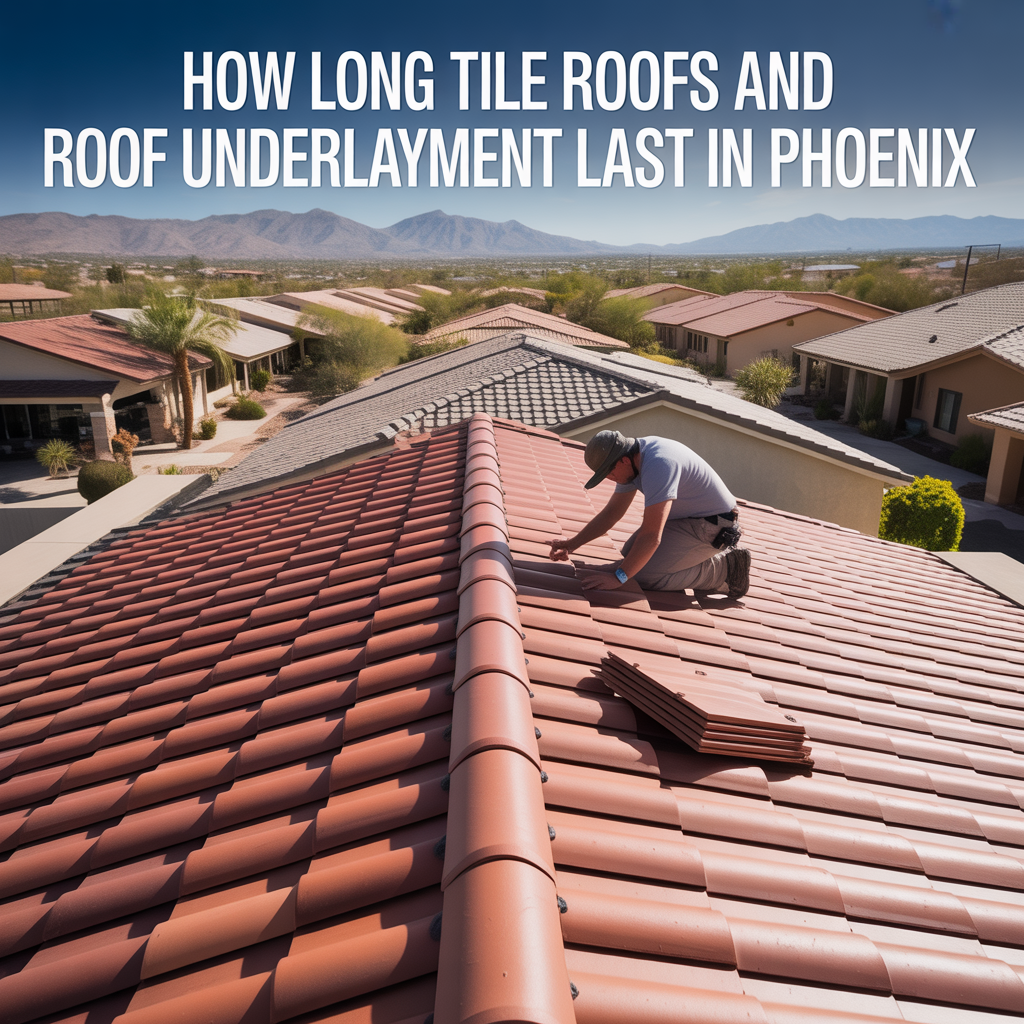
How Long Tile Roofs and Roof Underlayment Last in Phoenix
-
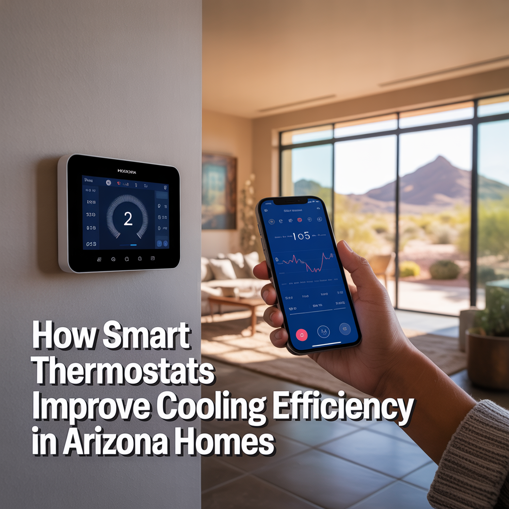
How Smart Thermostats Improve Cooling Efficiency in Arizona Homes
-

Why AC Systems Struggle During Extreme Phoenix Heat Waves
-

How Long Air Conditioning Units Last in Phoenix Homes
-

Warning Signs Your Air Conditioner Is About to Fail
-

How Often Phoenix AC Systems Need Maintenance
-
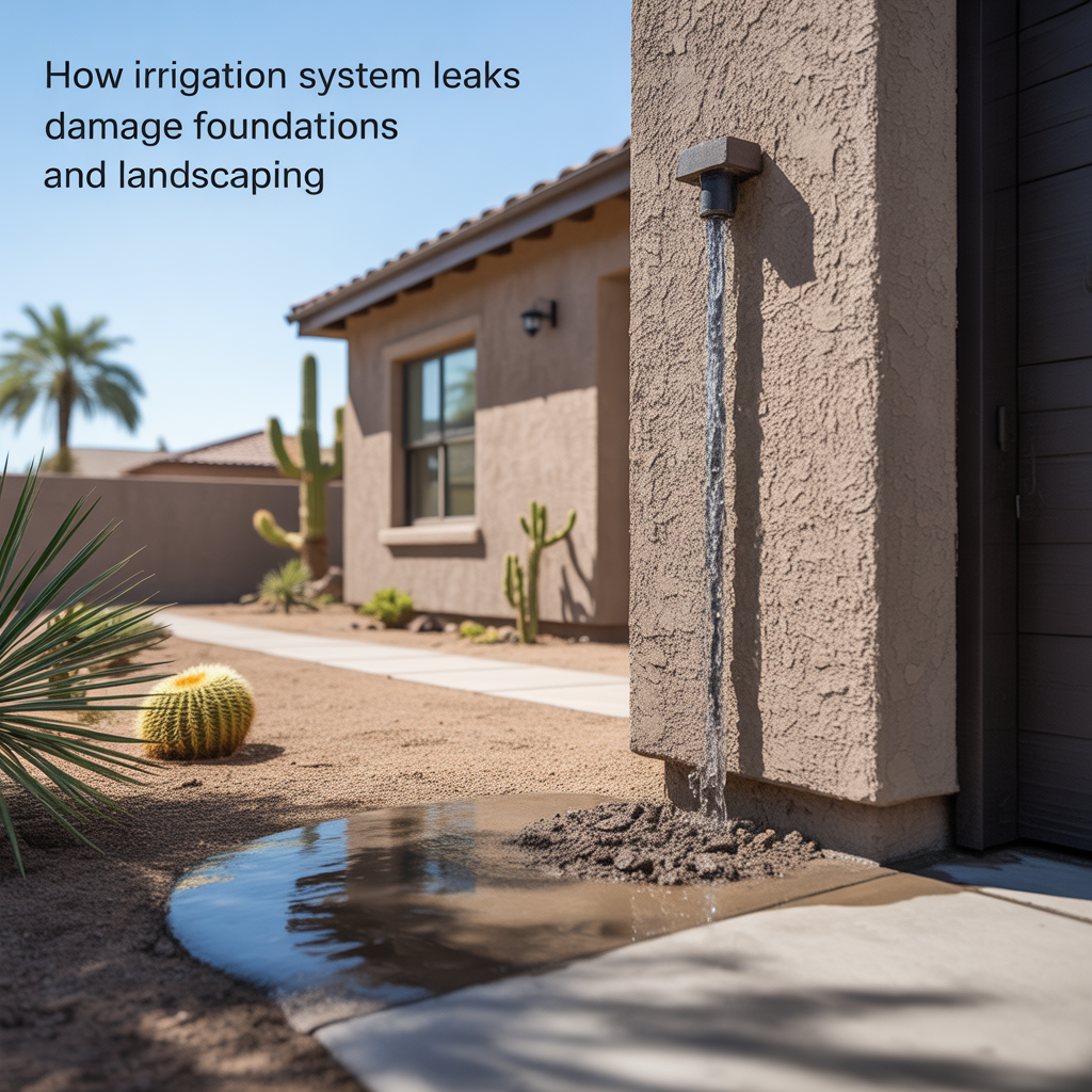
How Irrigation System Leaks Damage Foundations and Landscaping
-
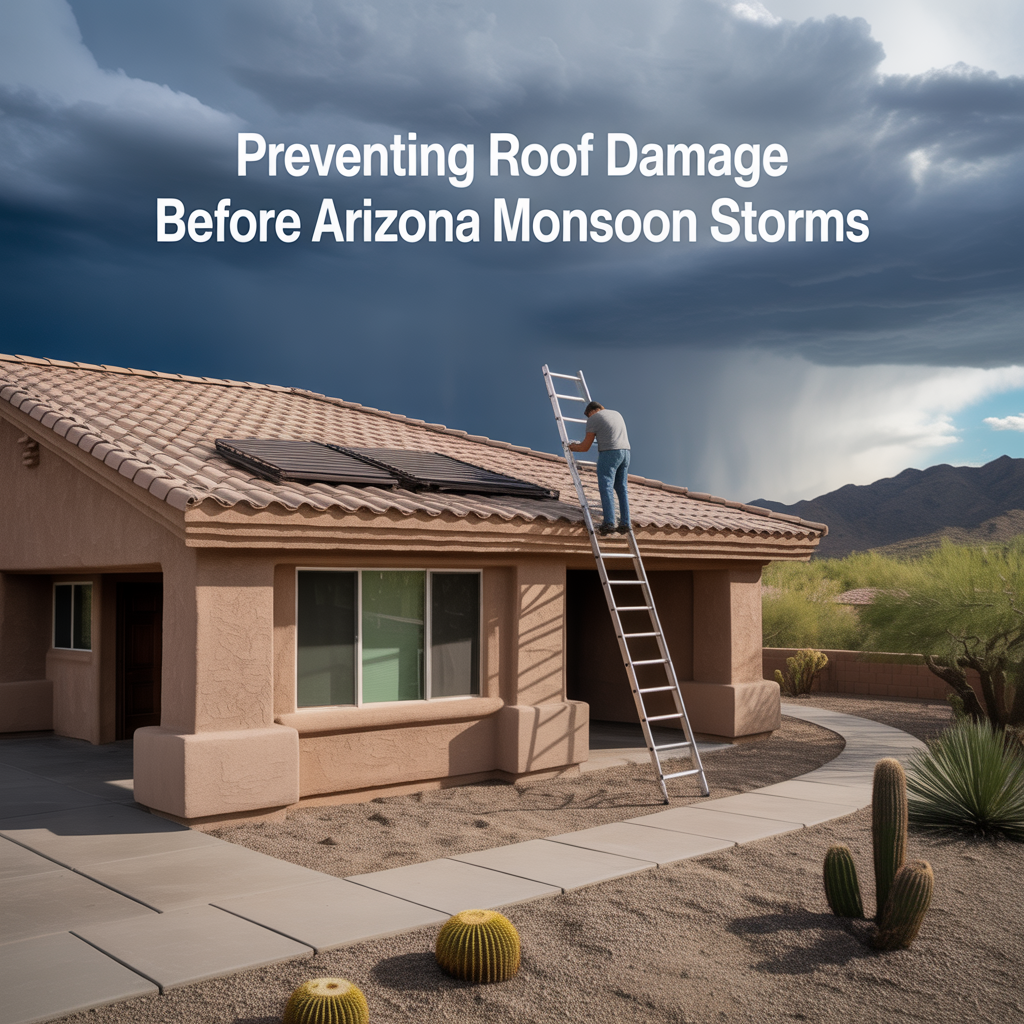
Preventing Roof Damage Before Arizona Monsoon Storms
-

Why AC Tune-Ups Are Critical for Phoenix Homes
-
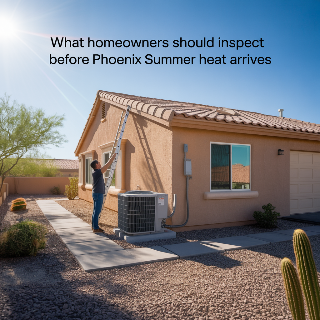
What Homeowners Should Inspect Before Phoenix Summer Heat Arrives
-
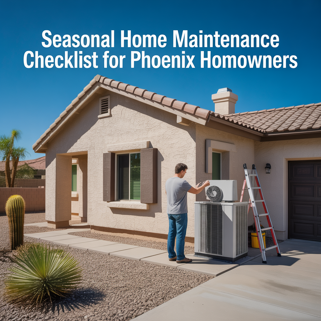
Seasonal Home Maintenance Checklist for Phoenix Homeowners
-
How UV Exposure Damages Exterior Paint, Stucco, and Sealants
-

How Extreme Heat Shortens the Lifespan of Home Systems
-
Why Phoenix Roofs Wear Out Faster Than Many Other Cities
-
How Long AC Units Typically Last in Phoenix Homes
-
Building a Long-Term Protection Strategy
-
How Small Repairs Prevent Larger Problems
-
Protecting Older Phoenix Homes
-
Warning Signs of Hidden Home Risks
-
Preventative Maintenance That Reduces Insurance Claims
-
Reducing Liability Exposure Around Your Property
-

Liability Coverage Limits Explained
-

When Umbrella Insurance Makes Sense
-

Protecting Yourself From Guest Injury Claims