


Chandler Lifestyle Guide → [Chandler Lifestyle Guide] & For more info on Chandler Real Estate → [Chandler Real Estate Guide]
Written by: Renee Burke
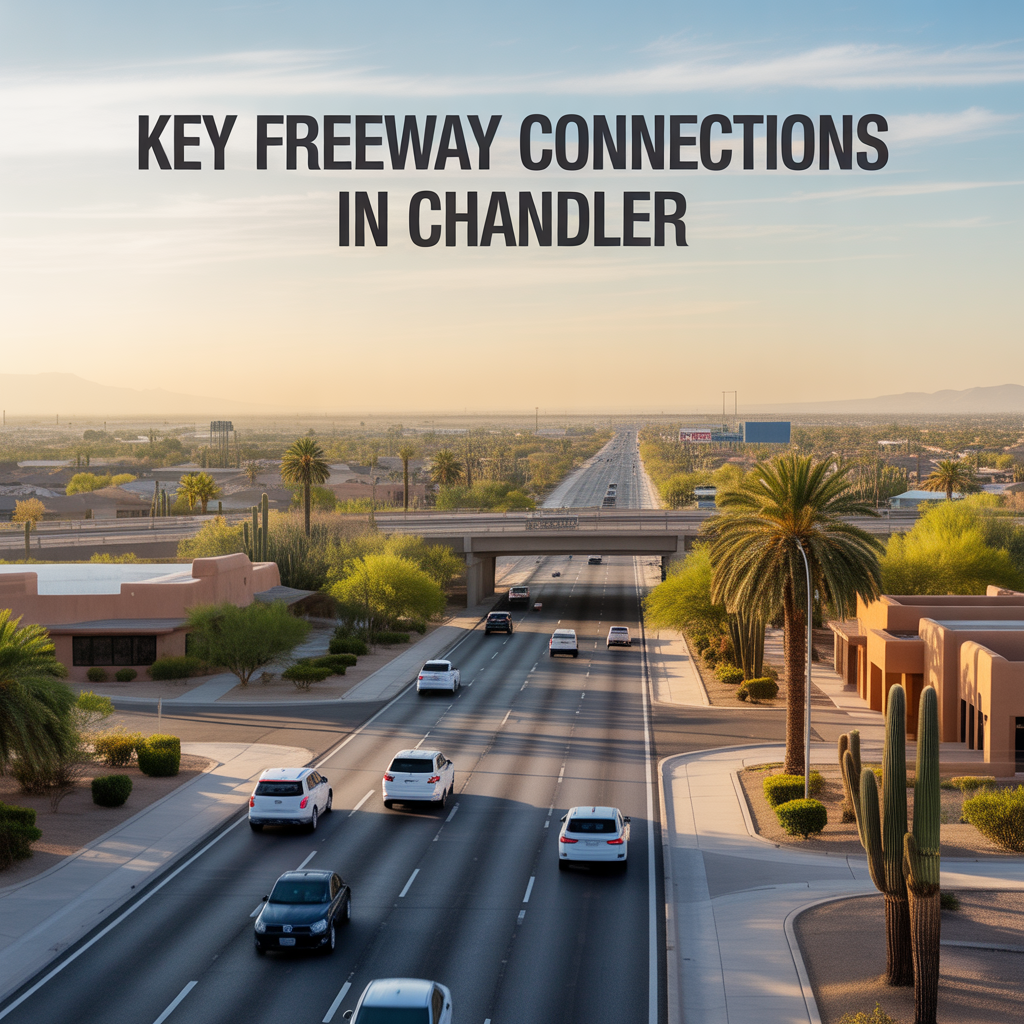
Chandler thrives as the East Valley’s connectivity hub, with Loop 202 Santan Freeway wrapping its southern and eastern edges like a protective arc, linking neighborhoods to Phoenix, Gilbert, and beyond without the chaos of denser cores. I’ve guided clients along these routes for years, showing how Price Road interchanges turn Sun Groves commutes into seamless flows while Ray Road arterials keep westside ranch life grounded.
These connections prioritize reverse commutes and hybrid flexibility, easing worries about isolation in our master-planned growth.
Loop 202 Santan Freeway: Chandler’s Southern Backbone
Loop 202 east-west through south Chandler connects Price Road (west entry from Fashion Center) to Gilbert Road (east to Mesa Gateway Airport), spanning Ocotillo, Fulton Ranch, and Sun Groves. Westbound mornings feed I-10 toward Sky Harbor (25-35 minutes); eastbound evenings glide to Queen Creek jobs.
Widening through 2027 adds HOV lanes at Dobson and Alma School, smoothing peaks — south families claim it for quick SanTan Village runs.
Price Road Interchange: North-South Lifeline
Price connects Loop 202 directly north to Loop 101 Price Freeway, funneling Intel workers and Fashion Center shoppers. Northbound mornings swell 6-9 a.m.; southbound evenings peak 4-6 p.m., but McQueen parallels offer relief for Sun Groves.
Tech corridor’s artery — townhomes here balance access with buffered quiet.
Ray Road Corridor: West Gateway
Ray Road parallels Loop 202 west, interchanging at Price and McQueen for Desert Breeze Park access and Loop 101 hops. Westbound clears to I-10; eastbound links Gilbert lightly against flows. Signals tune for school syncs.
West Chandler ranches lean on it for relaxed daily loops.
Chandler Boulevard Link: Downtown Connector
Chandler Blvd ties Loop 202 west at Price, feeding historic districts and Dr. A.J. Park. Short north jogs hit Loop 101; east reaches Dobson ramps under construction. Urban walkability softens reliance here.
San Marcos homes treat it as backyard extension.
Secondary Ties: Alma School and Dobson
Alma School and Dobson Roads north-south couplets interchange Loop 202, serving Ocotillo cores. Current ramp work (Dobson westbound off till March 2026) nudges detours, but parallels like Arizona Avenue insulate downtown.
Gated enclaves use them for polished efficiency.
How Connections Elevate Chandler Choices
Loop 202’s containment keeps Chandler self-sufficient — south zones hop Gilbert effortlessly, north taps Phoenix without full immersion. Expansions promise smoother futures, resale favoring Loop-adjacent homes for hybrid ease (10% premiums).
It crafts a connected yet calm suburban rhythm.
Your Chandler Freeway Flow
Chandler’s key connections make every drive purposeful, tying homes to horizons seamlessly.
If this outlines access for your routine, you don’t have to navigate alone. I’ve mapped these links for countless clients. Reach out — let’s connect your life to the right Chandler path, one open lane at a time.
Get the full Phoenix Market Insights → [Market Insights]

-
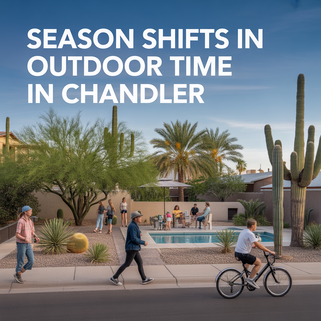
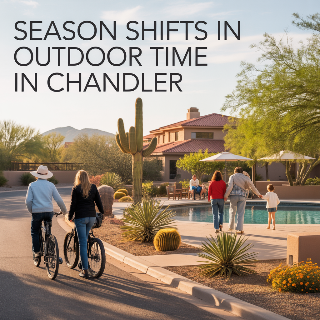
Season Shifts in Outdoor Time in Chandler
-
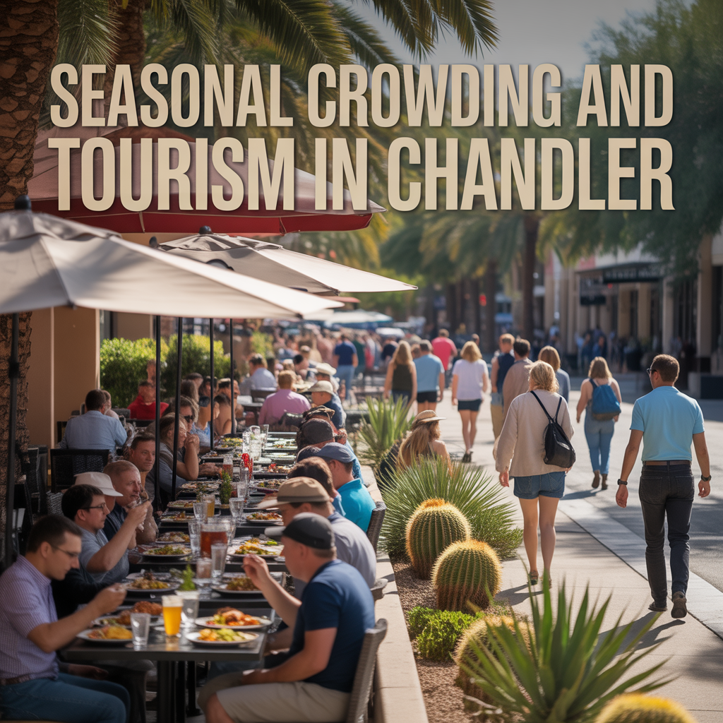
Seasonal Crowding and Tourism in Chandler
-
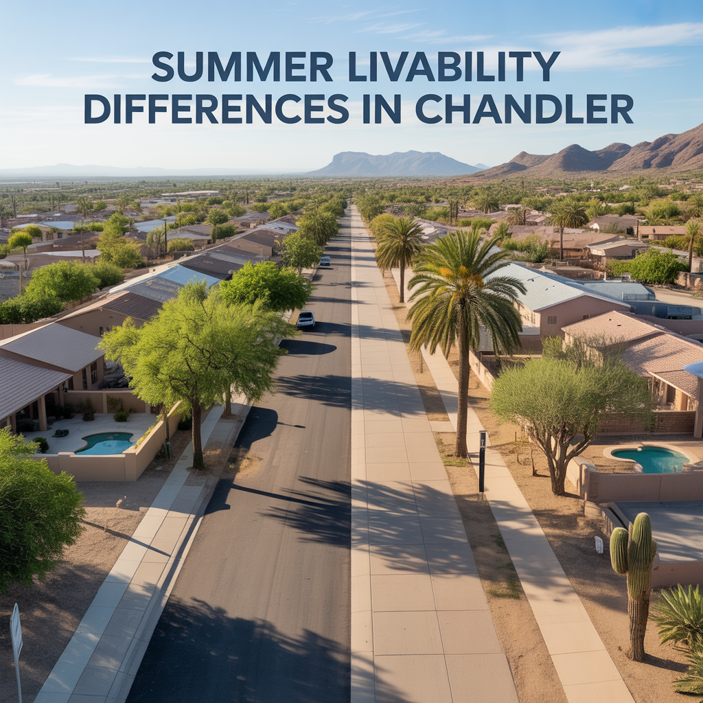
Summer Livability Differences in Chandler
-
Areas That Feel “Always On” Chandler
-

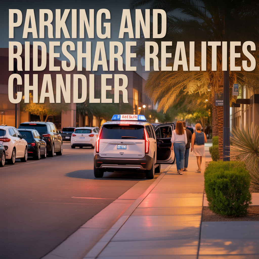
Parking and Rideshare Realities Chandler
-
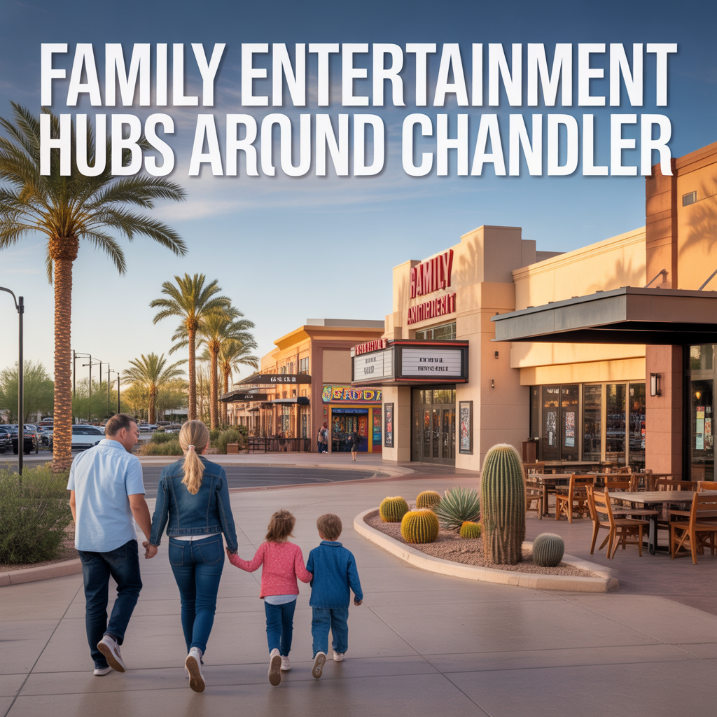
Family Entertainment Hubs Around Chandler
-

Chandler Late‑Night Hotspots vs Quiet Pockets
-
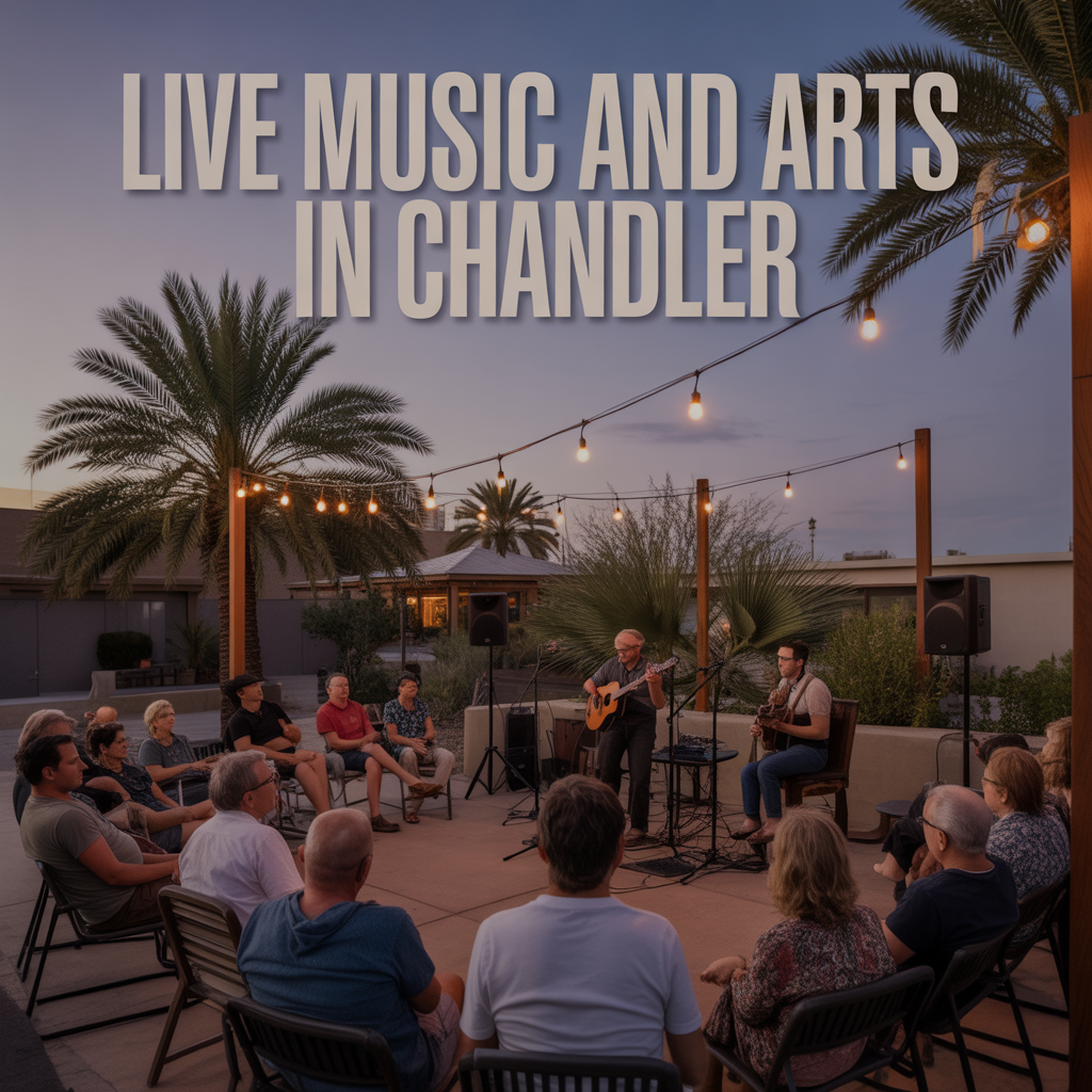
Live Music and Arts in Chandler
-
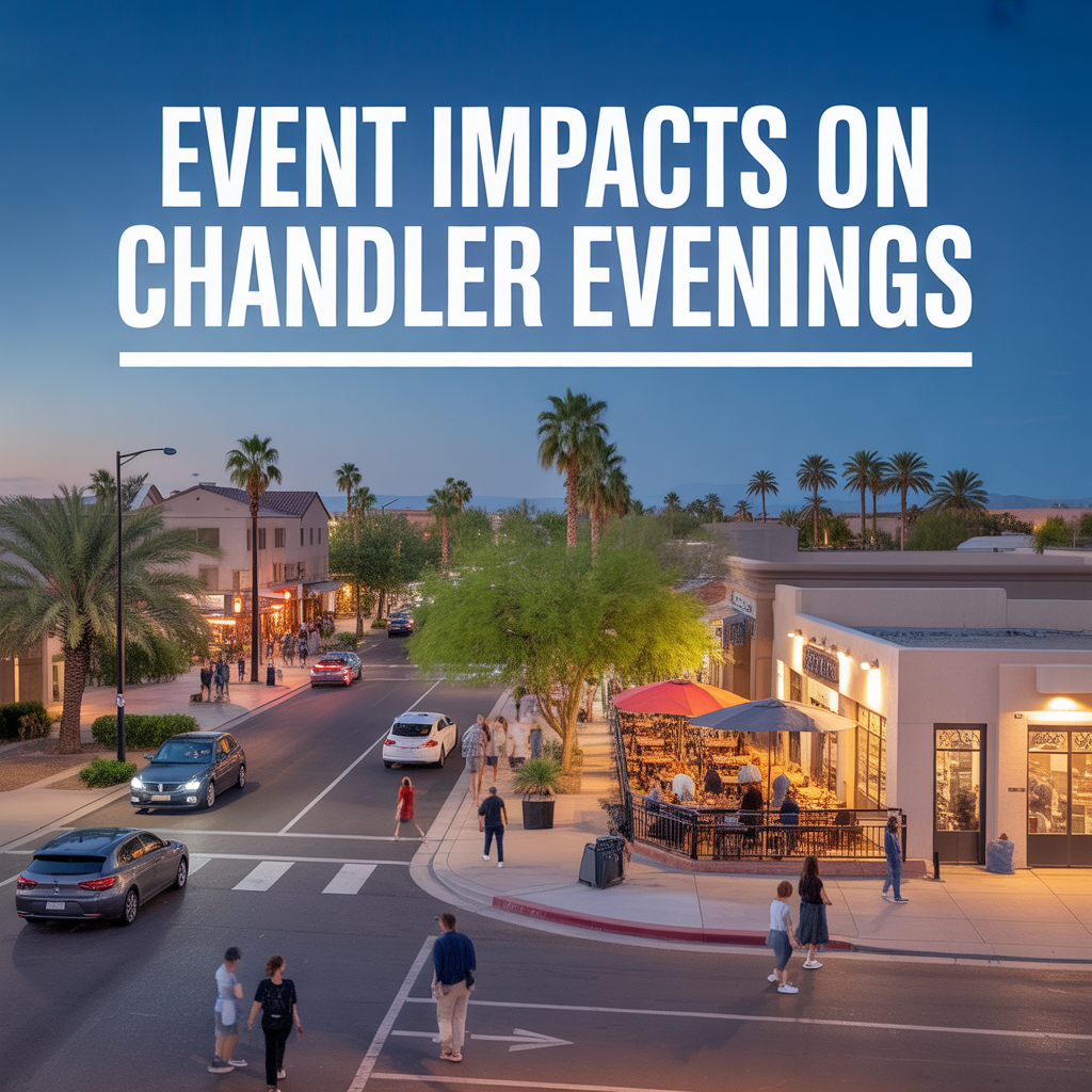
Event Impacts on Chandler Evenings
-
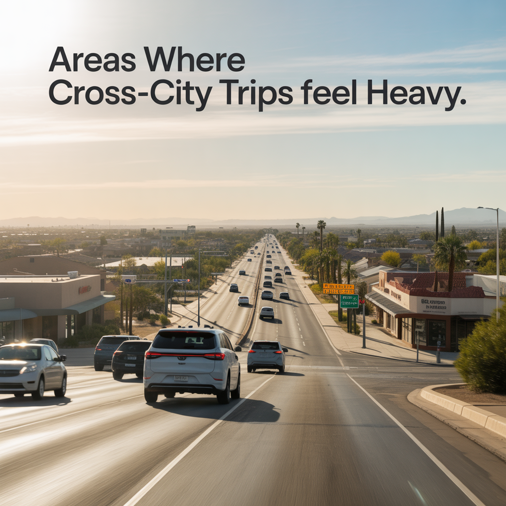
Areas Where Cross‑City Trips Feel Heavy
-
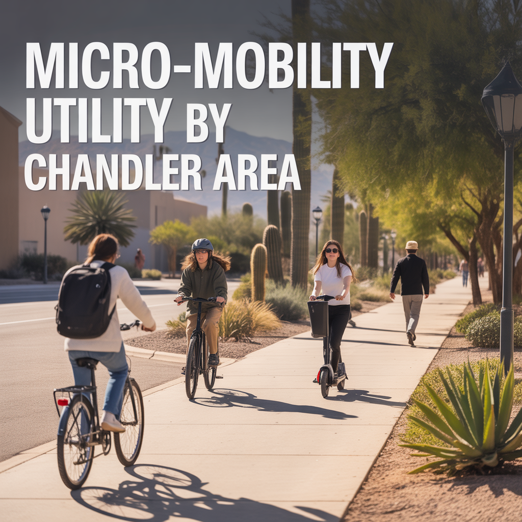
Micro‑Mobility Utility by Chandler Area
-
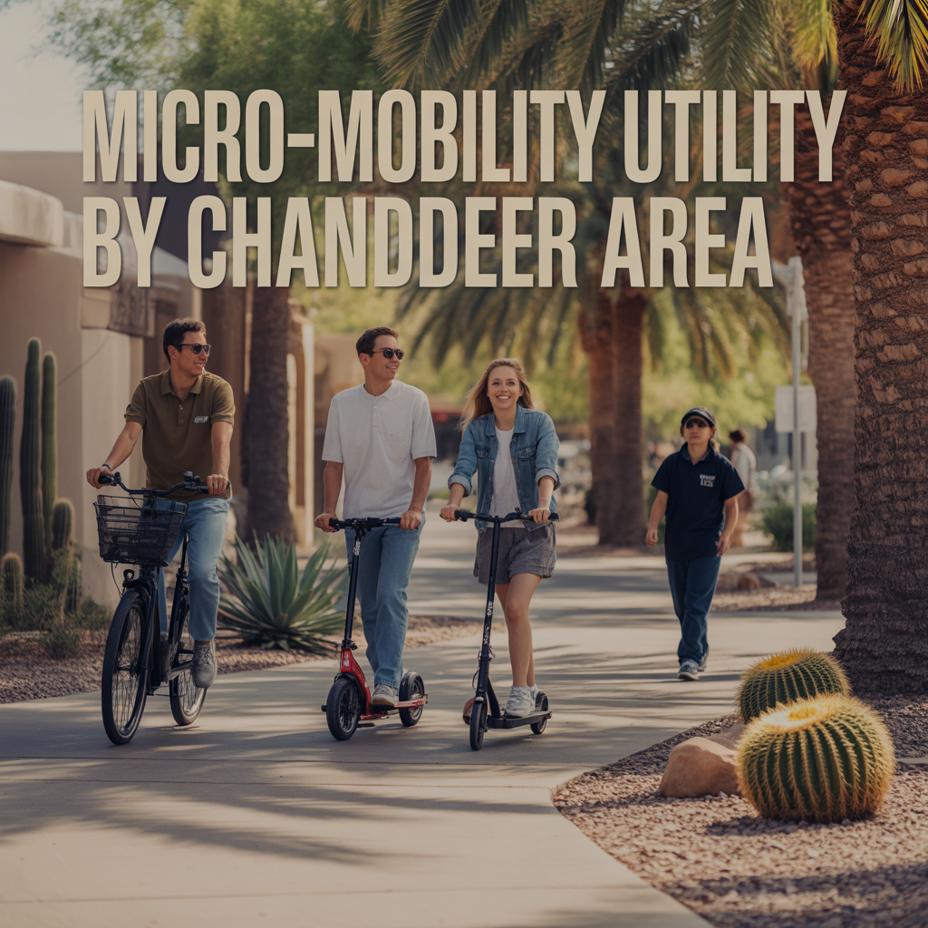
Micro‑Mobility Utility by Chandler Area
-
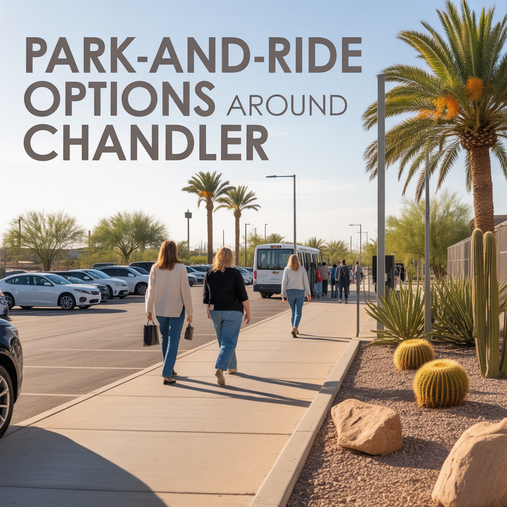
Park‑and‑Ride Options Around Chandler
-
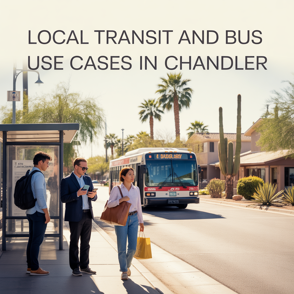
Local Transit and Bus Use Cases in Chandler
-
Key Freeway Connections in Chandler
-
Access to Gateway and Secondary Airports
-

Real‑World Drive Times to Sky Harbor
-

How Congestion Shapes Chandler Routines
-
Tradeoffs of Living Farther South Chandler
-
Remote‑Work Friendly Areas in Chandler
-
Daily Errand Routing Across Chandler
-
Reverse Commutes in Chandler Pros/Cons
-
Chandler Freeway Slowdown Hotspots
-
Peak Traffic Directions in Chandler
-
Season Shifts in Outdoor Time in Chandler