


Chandler Lifestyle Guide → [Chandler Lifestyle Guide] & For more info on Chandler Real Estate → [Chandler Real Estate Guide]
Written by: Renee Burke
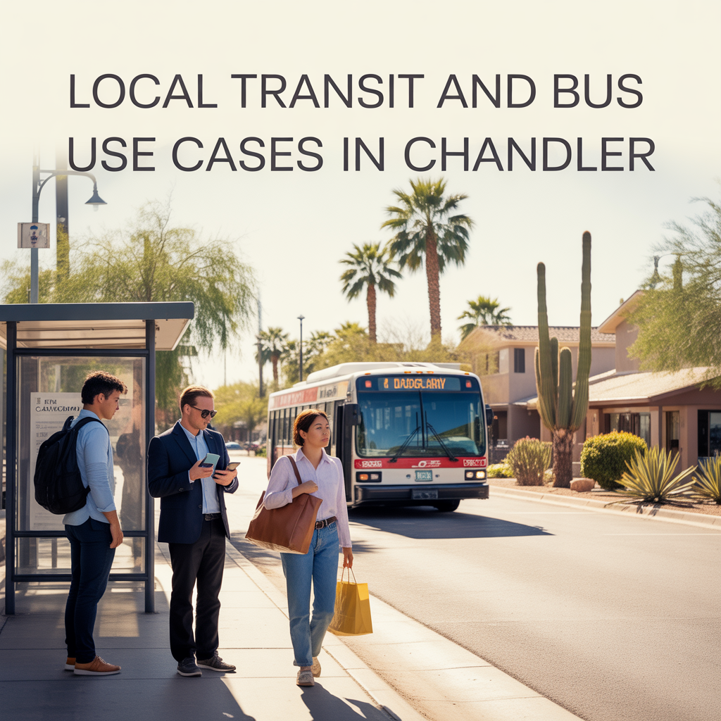
Chandler’s transit options keep daily life connected without car dependence, blending Valley Metro buses, on-demand Chandler Flex rides, and park-and-ride hubs that make school runs, grocery loops, or airport dashes feel straightforward. I’ve seen clients embrace these for hybrid weeks, cutting stress on Price Road peaks while linking quiet neighborhoods to Fashion Center conveniences or Sky Harbor.
They’re practical for families, seniors, and remote pros — not comprehensive coverage like Phoenix cores, but smartly focused on north-south corridors and southwest Flex zones.
Valley Metro Bus Routes: North-South Spines
Valley Metro’s fixed routes anchor Chandler’s north half — Route 30 runs Price Road from Fashion Center to Loop 202, ideal for Intel shifts or AJ’s grocery runs (every 30 minutes peak, $2 fare). Route 112 connects Chandler Blvd east-west to Mesa light rail, perfect for Sky Harbor transfers (45-60 minutes total).
Use case: Downtown residents hop Route 30 for evening Brickyard dinners without parking hassles; Ocotillo pros reverse-commute to Gilbert lightly.
Chandler Flex: Southwest On-Demand Gem
Chandler Flex offers app-based rides in the southwest zone (Ray Road to Pecos, Alma to McQueen) — book via app for $2-4 trips to Desert Breeze Park, Fry’s, or vet clinics, arriving in 10-15 minutes. Runs 6 a.m.-10 p.m., pets and bikes welcome.
Use case: West Chandler families send kids to playgrounds solo (with parent approval); seniors stock up at Ace Hardware sans driving.
Park-and-Ride Hubs: Freeway Feeder Points
Chandler Park & Ride at Dobson/Alma School and northwest Loop 202 lots link to express buses for Phoenix or Mesa — free parking, $5-7 day passes to Sky Harbor. RideChoice paratransit extends for accessible needs.
Use case: Fulton Ranch hybrids park early for Valley Metro Route 530 to I-10; Sun Groves avoids Loop 202 merges entirely.
Lyft First-Mile/Last-Mile Program
Subsidized Lyft rides bridge gaps to bus stops — $5 caps for short hops from home to Route 30, integrated with Flex for seamless chains.
Use case: Price Corridor renters Lyft to Fashion Center then bus south, saving $20 daily on Ubers.
Real-World Use Cases by Routine
- Family Errands: Flex to Bashas’ + Route 30 to Sprouts (under $6 roundtrip).
- Airport Runs: Park & Ride + express to PHX (60 minutes, $7).
- School/Events: Route 112 to Mesa rail for ASU games; Flex for Tumbleweed sports.
- Senior Wellness: RideChoice to Snedigar Rec Center classes.
| Service | Coverage | Cost/Frequency | Best Use Case |
|---|---|---|---|
| Valley Metro Bus | North Price/Chandler Blvd | $2/30 min peak | Work/shopping spines |
| Chandler Flex | Southwest zone | $2-4/10-15 min | Local errands/parks |
| Park & Ride | Loop 202 edges | $5-7 day pass | Airport/hybrid commutes |
| Lyft Bridge | Citywide gaps | $5 cap | Bus connections |
Why Transit Fits Chandler Lifestyles
These options counter car-reliance fears, strongest northside where routes cluster, easing resale for urban families. South leans Flex for self-sufficiency; expansions promise Loop 202 feeders by 2028. They foster walkable habits, turning peaks into patio time.
Your Chandler Transit Rhythm
Chandler transit weaves freedom into routines, car-optional where it counts.
If this sparks car-light living near your next home, you don’t have to route it alone. I’ve matched so many to connected spots. Reach out — let’s map your seamless flow, one easy ride at a time.
Get the full Phoenix Market Insights → [Market Insights]


-
Separating Lifestyle Spending From Homeownership Costs
-
How Usage Changes Monthly Ownership Costs
-
Planning Around Utility Cost Volatility
-
Why Variable Expenses Drive Most Budget Stress
-
Fixed Costs That Aren’t Actually Fixed
-
Budgeting for the House You’ll Own in Five Years
-
Why Ownership Cash Flow Feels Tighter Over Time
-
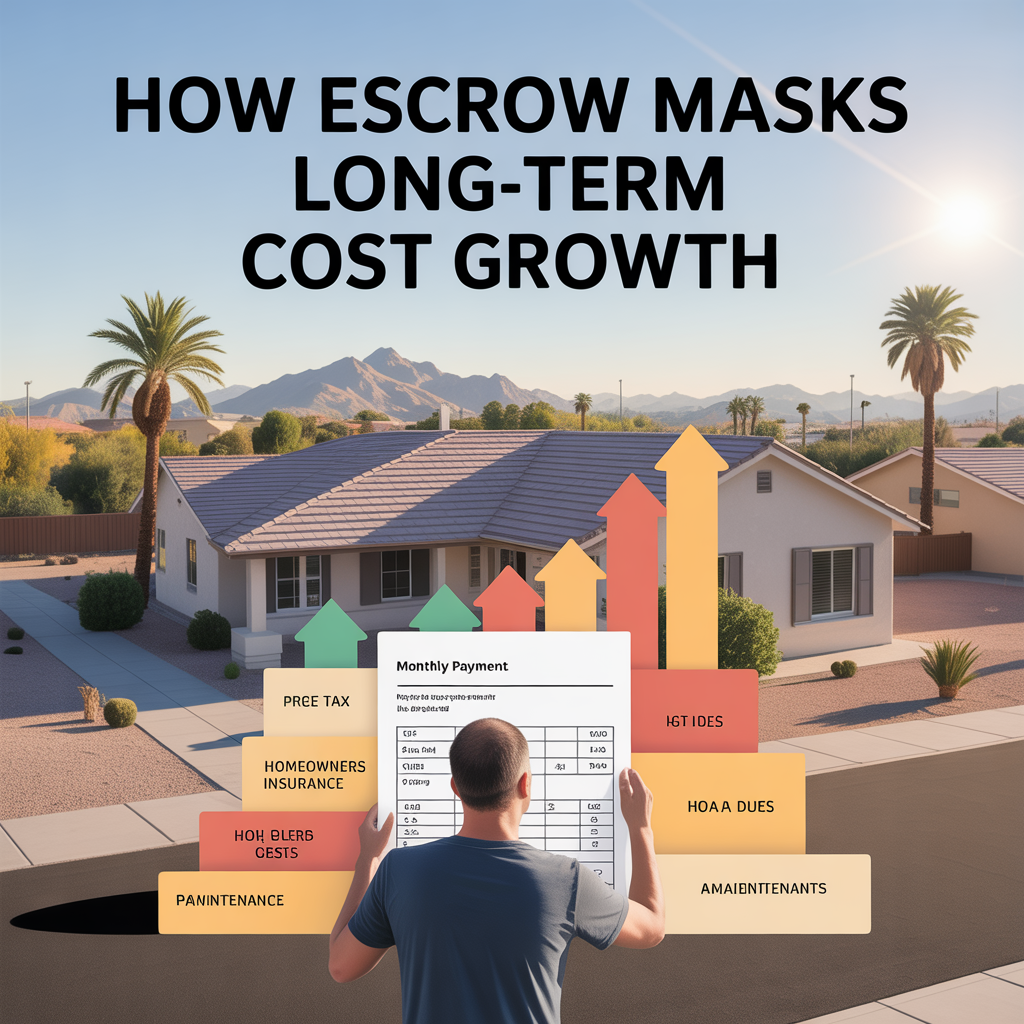
How Escrow Masks Long-Term Cost Growth
-

Why Your Mortgage Payment Isn’t Your True Housing Cost
-
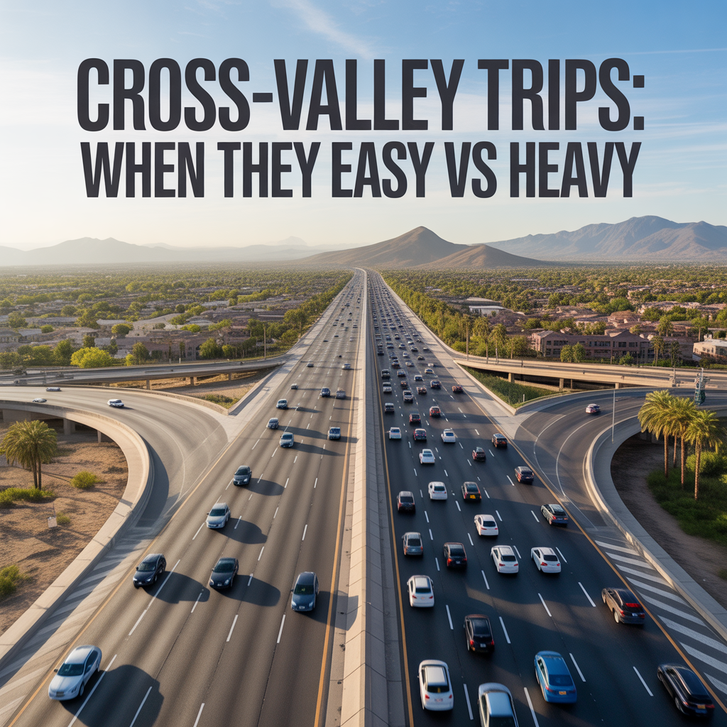
Cross-Valley Trips: When They Feel Easy vs Heavy
-
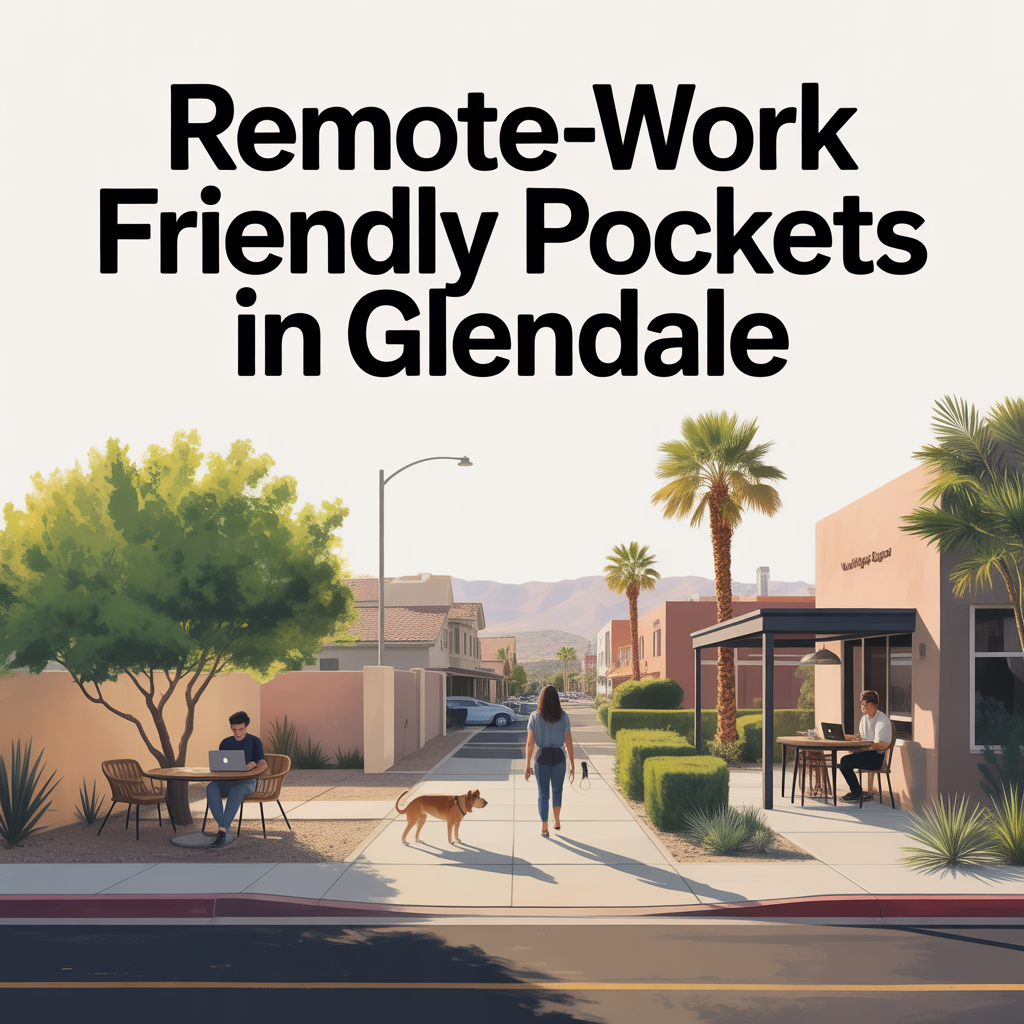
Remote-Work Friendly Pockets in Glendale
-
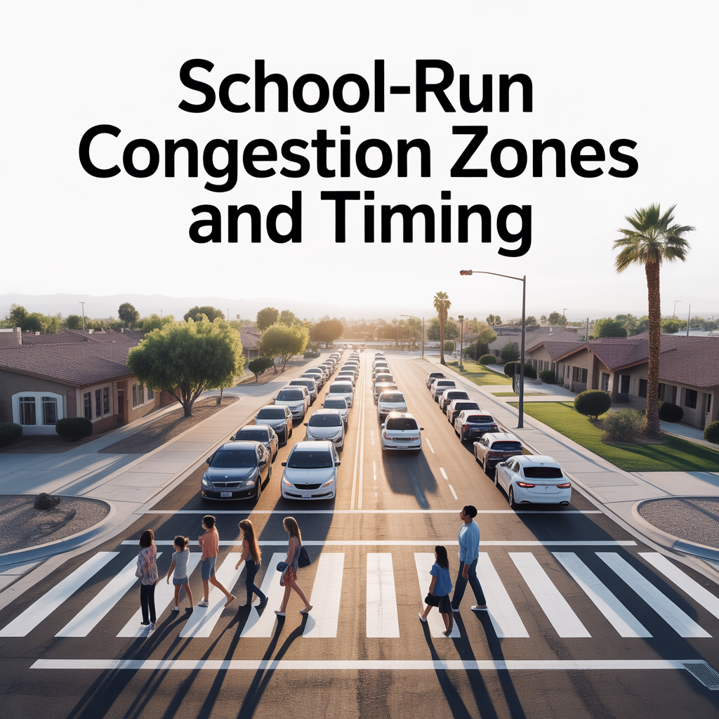
School-Run Congestion Zones and Timing
-
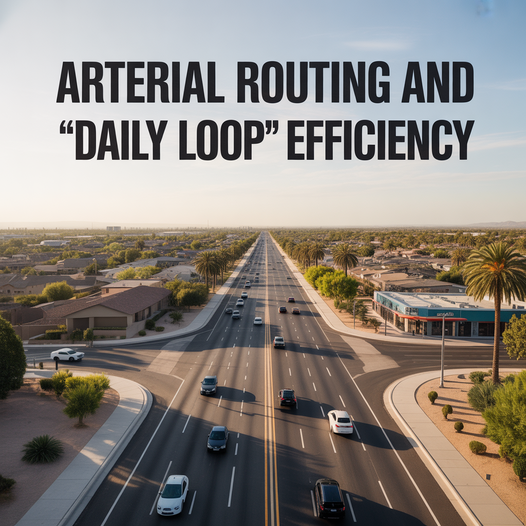
Arterial Routing and “Daily Loop” Efficiency
-

State Farm Stadium and it’s Effect on Life and Property Value
-
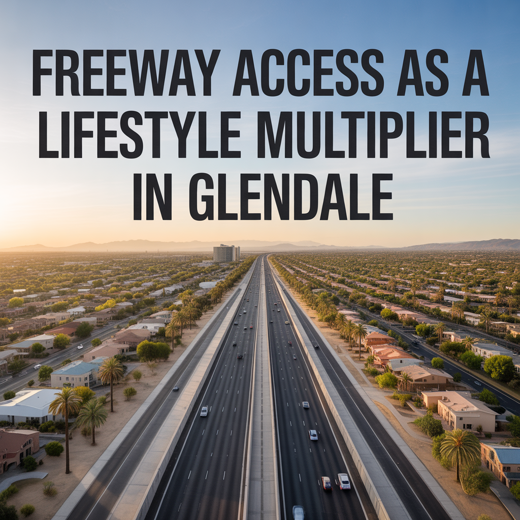
Freeway Access as a Lifestyle Multiplier in Glendale
-

Event-Night Traffic Impacts and Avoidance Strategies
-
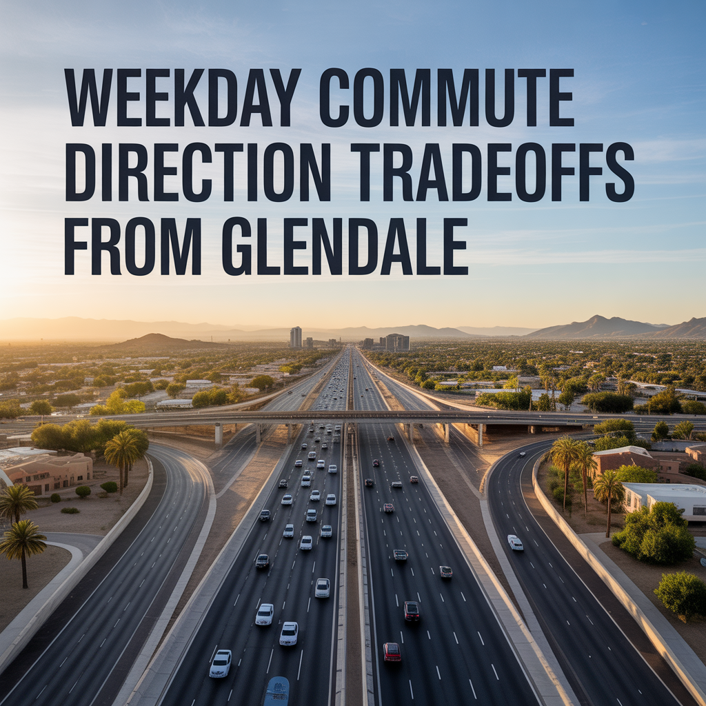
Weekday Commute Direction Tradeoffs From Glendale
-
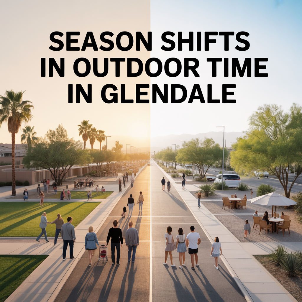
Season Shifts in Outdoor Time in Glendale
-

Shade, Tree Cover, and Neighborhood Comfort
-

Dog and Kid Friendly Outdoor Routines
-
Trail Access That Feels Routine-Friendly
-
Sports Parks and Family Recreation Patterns
-
Map Proximity vs Summer Usability in Glendale
-
Daily-Use Parks vs Weekend Outdoor Trips
-

Top 10 “Date Night Out” Spots in Glendale