


Chandler Lifestyle Guide → [Chandler Lifestyle Guide] & For more info on Chandler Real Estate → [Chandler Real Estate Guide]
Written by: Renee Burke
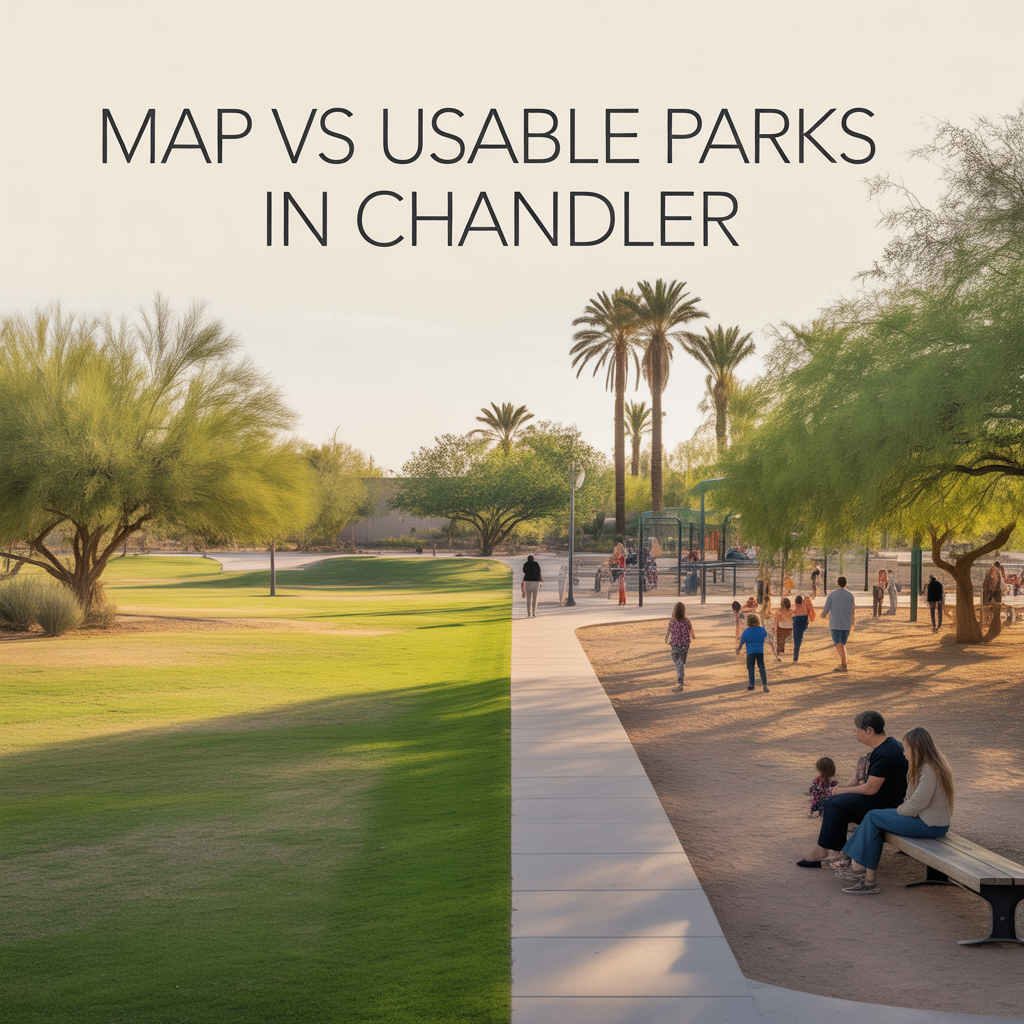
Chandler’s park map looks impressive at first glance — over 60 green spaces dotting the city from Ocotillo lakes to Tumbleweed’s vast fields. But as someone who’s picnicked in nearly every one while showing homes nearby, I can tell you it’s the usable ones that truly shape daily life. Not every dot delivers shade, restrooms, or playgrounds; the best ones feel like extensions of your backyard, steps from quiet neighborhoods.
Buyers often pull up a map and dream, only to find half are passive open spaces or flood-prone fields. The real gems — those with pavilions, trails, and splash pads — cluster in family zones, boosting walkability and home values without overwhelming peace. Let’s separate the map promises from the parks you’ll actually use weekly.
Tumbleweed Park: The Usable Giant
Tumbleweed Recreation Center at 2250 S. McQueen Road anchors Chandler’s park crown — 90 acres of multipurpose fields, tennis courts, Playtopia playground, and reservable pavilions like Gila Monster or Coyote. It’s not just a map dot; it’s a lifestyle hub with parking galore, restrooms, and shaded ramadas for birthdays or barbecues.
Weekends hum with sports leagues and concerts, but weekdays offer serene trails and fishing spots. South Chandler families in Sun Groves love its accessibility — no wonder homes nearby sell 20% faster.
Veterans Oasis Park: Nature Without the Noise
At 3900 S. Pathways Drive near Ocotillo, this 110-acre gem shines for usability — a 1-mile dirt track, frisbee golf, archery range, playground, and Paseo Trail connections for miles of walking. Shaded picnic tables and interpretive signs make it more than grass; it’s educational and pet-friendly with restrooms.
Unlike remote map parks, it’s buffered from roads, drawing Fulton Ranch walkers daily. It eases that “suburban boredom” fear — properties steps away hold premium appeal for active families.
Dr. A.J. Chandler Park: Downtown’s Green Heart
Anchoring Downtown at Arizona Avenue and Chandler Boulevard, this 25-acre beauty offers playgrounds, splash pads, grassy fields, and pavilions amid historic charm. Electric vehicle chargers and nearby garages add practicality you won’t find on basic maps.
It’s walkable from San Marcos homes, hosting yoga and markets — usable every day, not just events. Urban buyers crave this blend; it stabilizes values in a nightlife-adjacent zone.
Desert Breeze Park: Westside Family Favorite
Near Ray and 54th Street, Desert Breeze delivers vintage train rides, fishing lakes, playgrounds, and sports fields across 40 acres — all with restrooms, shade structures, and picnic areas. It’s the west Chandler workhorse, less crowded than Tumbleweed.
Neighborhood kids claim it daily; parents host low-key gatherings. Homes here attract long-timers for that reliable green space.
Rio Salado Park: Splash and Sports Haven
Southwest at 2302 S. Erie Street, this community park packs splash pads, basketball courts, playgrounds, and ramadas — fully usable with ample parking and maintenance. It’s a map standout that lives up to hype for young families in Cooper Commons.
Map Parks That Fall Short
Many map dots like smaller neighborhood greens (e.g., along canals) lack facilities — no restrooms, minimal shade, or flood risks make them photo-pretty but impractical. Special-use spots like KOLI Equestrian Center excel for niches but skip family basics. Stick to the 20% with full amenities for real value.
Why Usable Parks Drive Chandler Choices
Chandler’s park strategy prioritizes quality over quantity — usable ones in family cores like Ocotillo or Sun Groves address worries about “space for kids” while buffering from traffic. They lift nearby homes 10-15% via walk scores, turning suburbs into destinations. Map hype fades; lived-in usability endures.
Your Park-Perfect Chandler Spot
Chandler’s true parks make green space a daily reality, not a dotted dream.
If this clarifies where parks truly shine near potential homes, you don’t have to decode maps alone. I’ve walked these trails with clients, matching lifestyles to the usable gems. Reach out — let’s find your park-adjacent haven, one shaded path at a time.
Get the full Phoenix Market Insights → [Market Insights]

-
Shade Coverage and Tree Canopy Differences by Corridor
-
Summer Walkability Reality Near ASU and Mill Avenue
-
Choosing Proximity Based on Personality and Routine
-
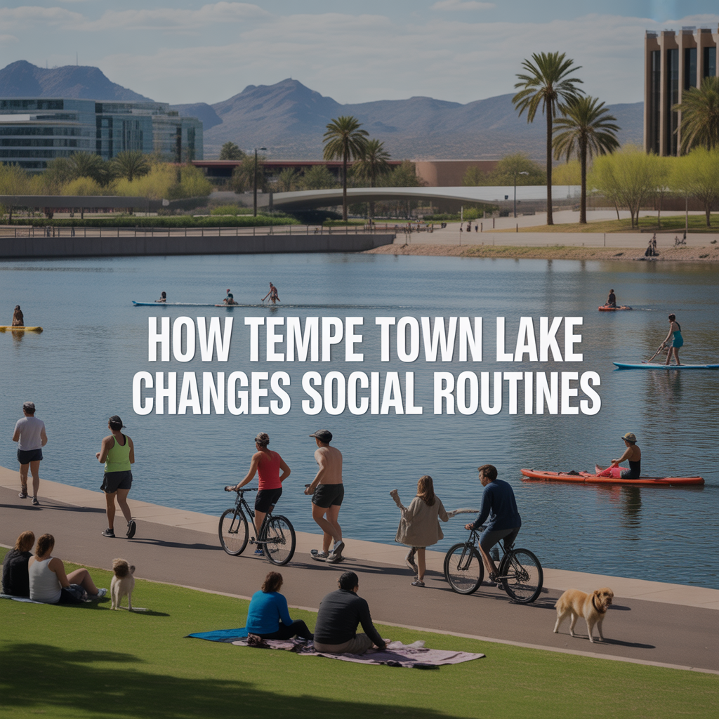
How Tempe Town Lake Changes Social Routines
-
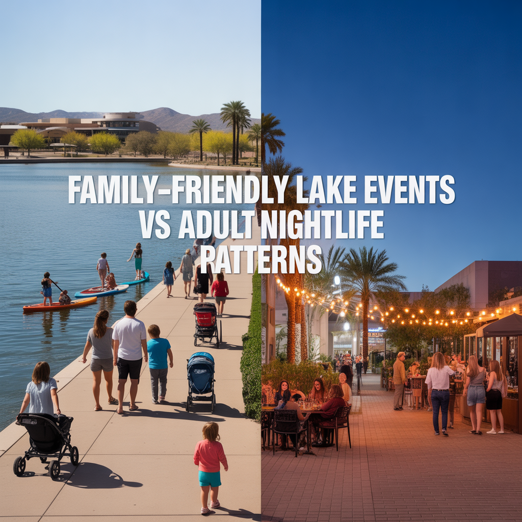
Family-Friendly Lake Events vs Adult Nightlife Patterns
-

Parking Structures and Rideshare Realities on Peak Nights
-
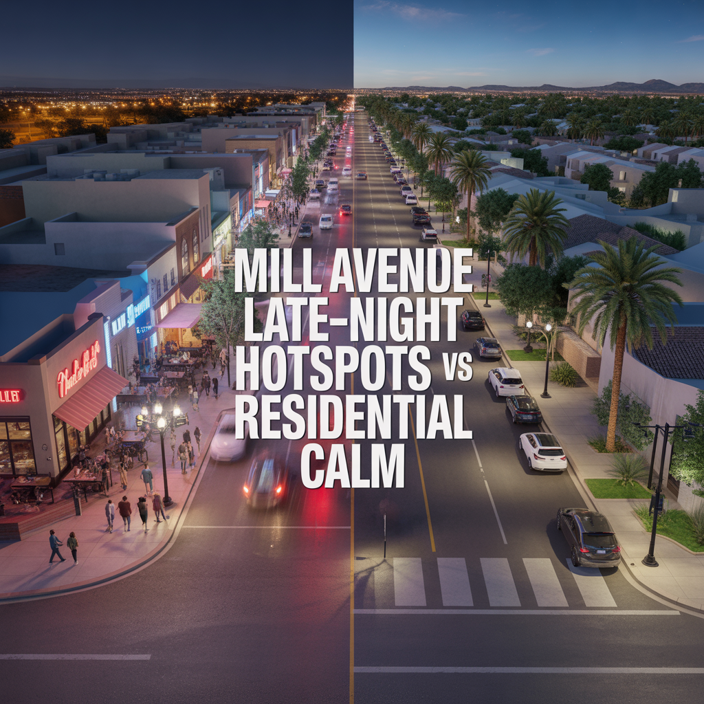
Mill Avenue Late-Night Hotspots vs Residential Calm
-

ASU Game Days and Event Calendar Impacts
-
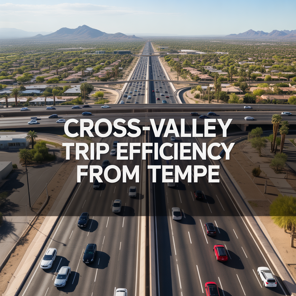
Cross-Valley Trip Efficiency From Tempe
-
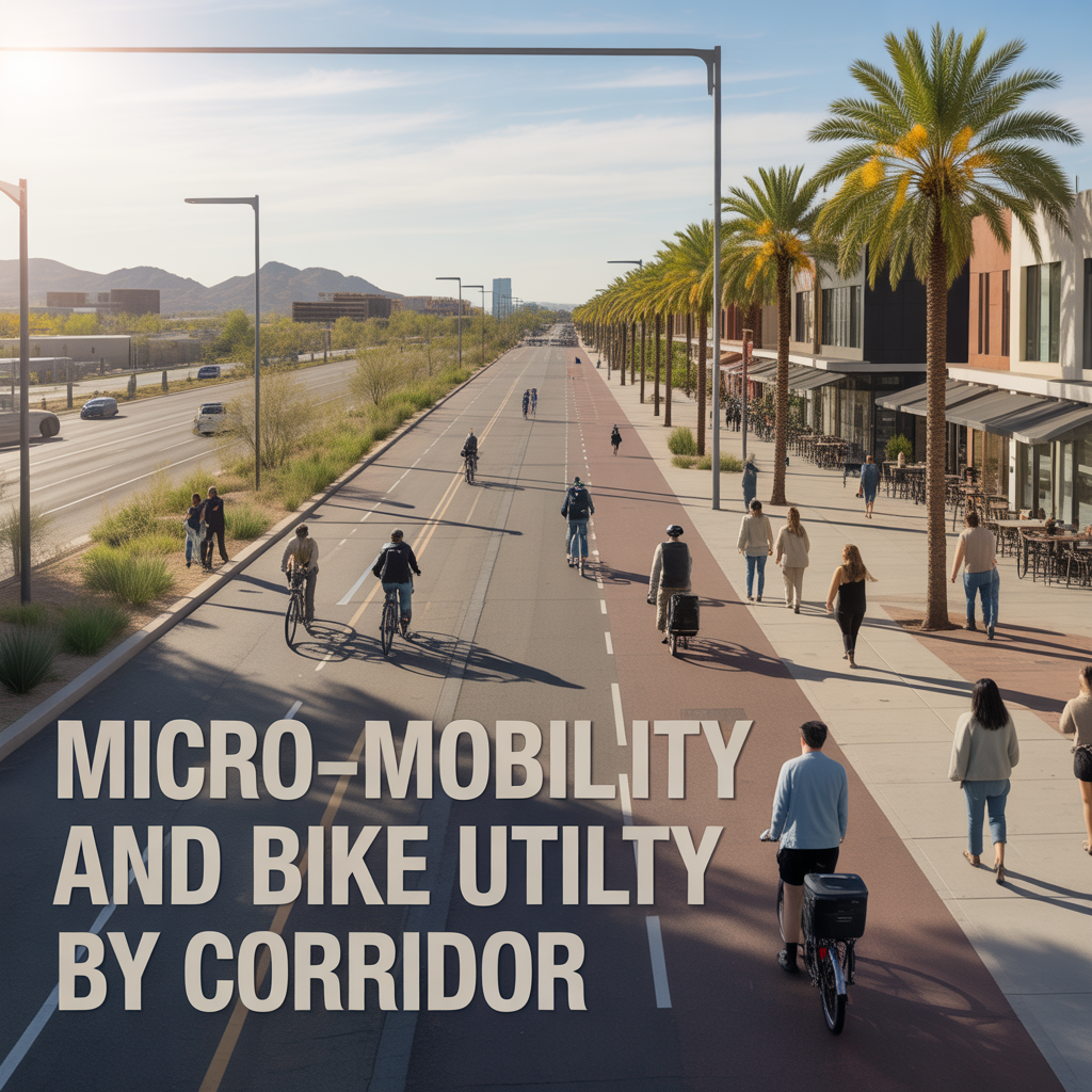
Micro-Mobility and Bike Utility by Corridor
-

Park-And-Ride, Game Day, and Event Access Patterns
-

Airport Timing Strategy Around ASU and Rush Hour Traffic
-

Light Rail Use Cases That Actually Improve Daily Life
-

Freeway vs Arterial Routing During Peak Windows
-

Real-World Drive Times to Sky Harbor From Different Tempe Pockets
-

How Traffic and Commute Direction Affect Daily Life in North vs South Tempe
-

Bike Paths, Walkability, and Short-Distance Transportation in Tempe
-

Driving Access From Tempe to Phoenix Sky Harbor Airport
-

Light Rail Access Between Tempe, Downtown Phoenix, and Mesa
-
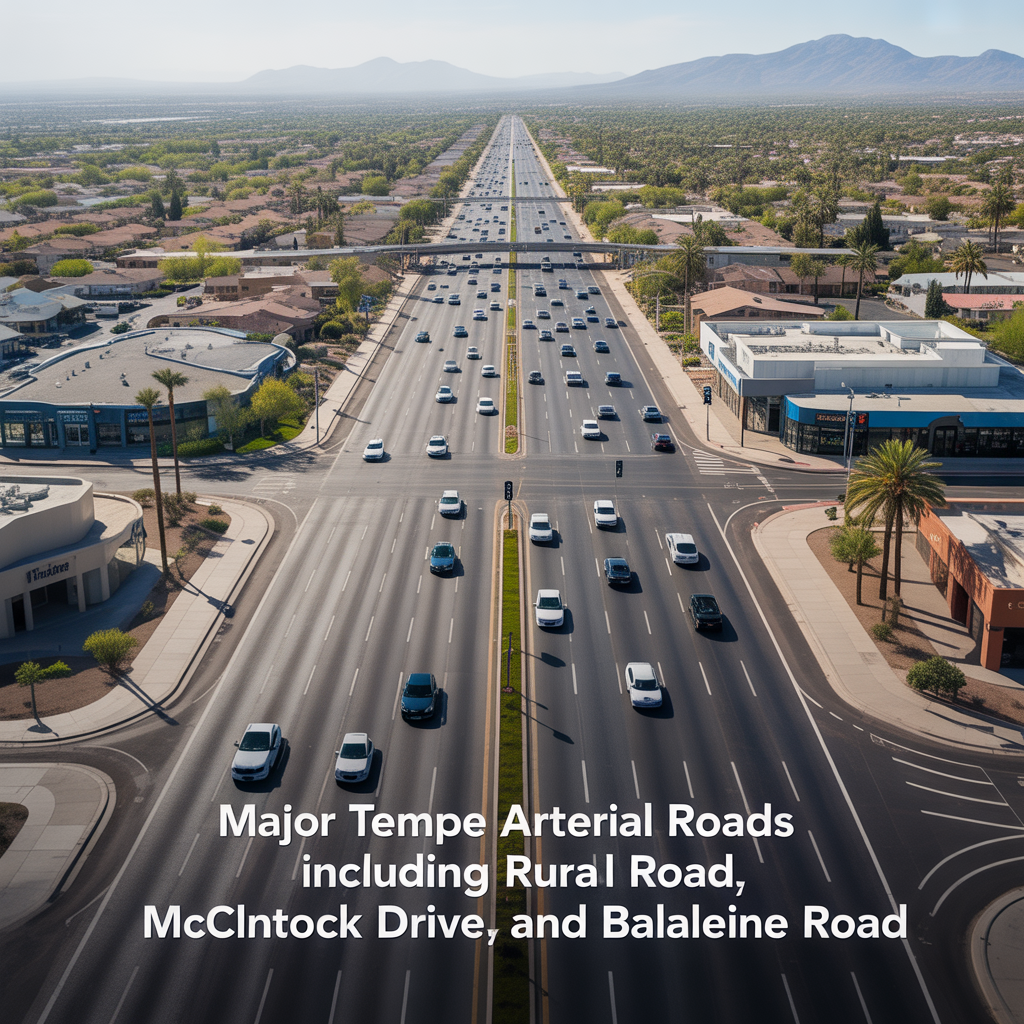
Major Tempe Arterial Roads Including Rural Road, McClintock Drive, and Baseline Road
-

ASU Traffic Patterns and Peak Congestion Near Campus
-
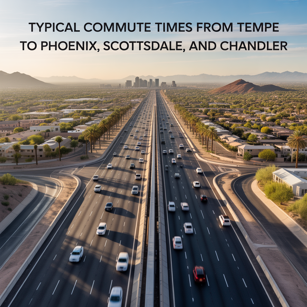
Typical Commute Times From Tempe to Phoenix, Scottsdale, and Chandler
-
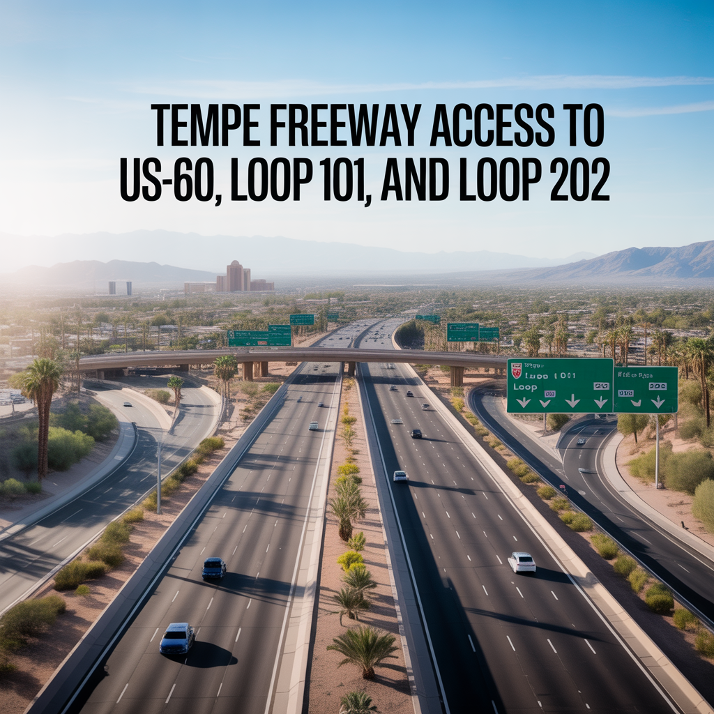
Tempe Freeway Access to US-60, Loop 101, and Loop 202
-
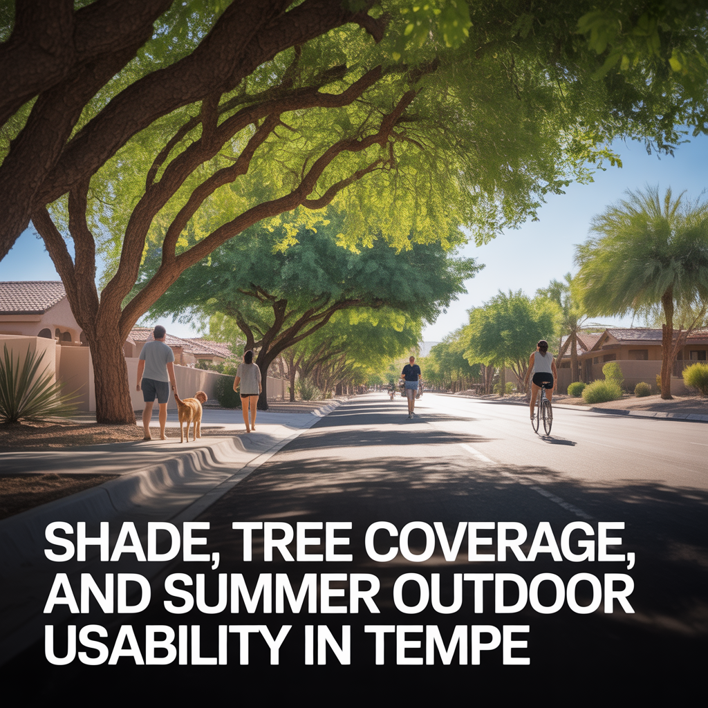
Shade, Tree Coverage, and Summer Outdoor Usability in Tempe
-
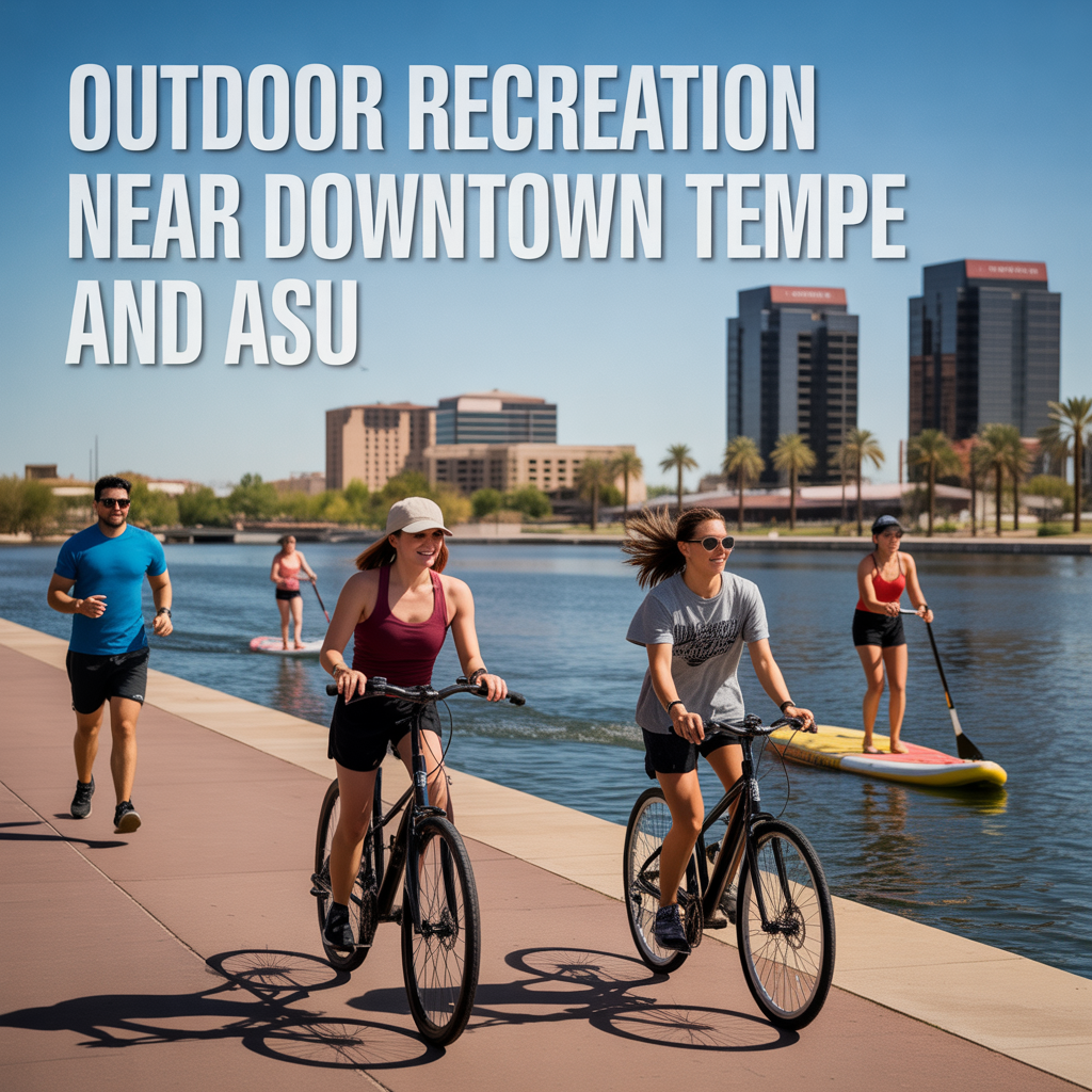
Outdoor Recreation Near Downtown Tempe and ASU