


Chandler Lifestyle Guide → [Chandler Lifestyle Guide] & For more info on Chandler Real Estate → [Chandler Real Estate Guide]
Written by: Renee Burke
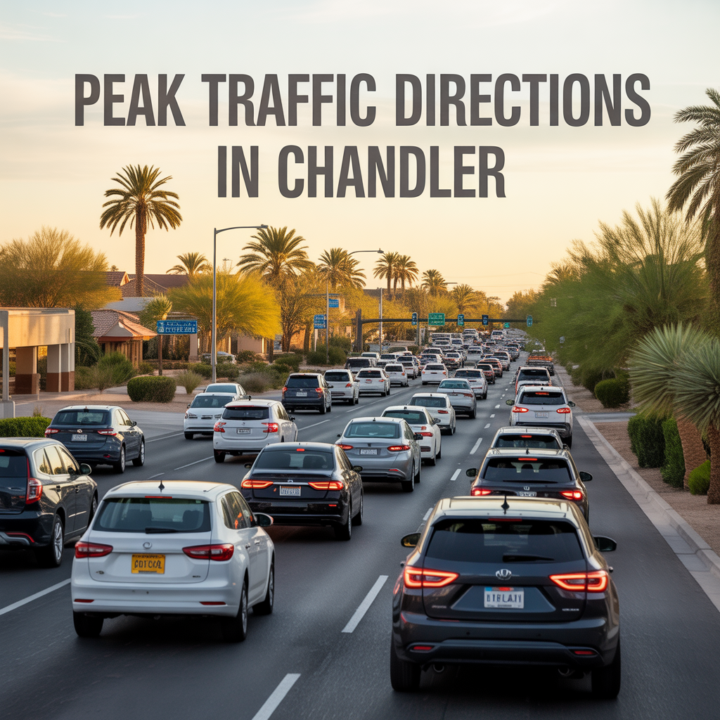
Chandler’s traffic follows a predictable East Valley pulse — commuters streaming north to Phoenix offices in the morning, then southbound waves returning home by evening, all shaped by Intel campuses, Loop 202, and Price Road’s tech draw. I’ve timed countless showings around these flows over years here, helping clients pick homes that sidestep the worst snarls without isolating them from conveniences. Peak hours hit 6-9 a.m. and 3-6 p.m. weekdays, with Thursday’s 4-5 p.m. often the crunch point, though hybrid schedules have spread delays midday too.
Road diets and signal tweaks from the Traffic Management Center keep it manageable, but knowing directions matters for daily life and resale ease. Let’s map the hotspots by time and corridor.
Morning Rush (6-9 a.m.): North to Work
Northbound dominates as Chandler feeds into Phoenix — Loop 202 westbound from Price Road to I-10 clogs first, funneling Intel and Northrop workers toward Sky Harbor or downtown. Ray Road east to Loop 101 north sees backups from Fulton Ranch, while Price northbound swells with Ocotillo pros heading to tech parks.
Alma School and Dobson couplets crawl as families drop kids at Basha High en route. South Chandler escapes lightest; Sun Groves folks hop Loop 202 west smoothly before 7:30 a.m.
Evening Rush (3-6 p.m.): Southbound Homecoming
Reverse flows peak 4-5 p.m. Thursdays — Loop 202 eastbound from I-10 packs with reverse commuters, Price southbound from Fashion Center grinds as shoppers join workers. Ray west to Loop 202 south bottles at signals, Dobson and Alma School southbound swell from Mesa spillovers.
Ocotillo’s lakefront sees lighter relief via backroads like Parkway — locals know to exit early. Downtown Chandler hums but clears faster, patios filling as cars thin.
Price Corridor: Tech Artery All Day
Price Road (north-south spine) peaks both ways — mornings north to Loop 101, evenings south past Fashion Center. Midday lunch runs from Intel add pulses 11 a.m.-1 p.m., hybrid shifts spreading Thursday’s 4 p.m. worst.
Townhomes here trade convenience for tolerance; buffered side streets shine for families.
Loop 202 Interchanges: Freeway Gateways
Westbound 202 from Chandler Blvd to I-10 morning-clogs, reversing eastbound evenings. Southbound ramps at Price and Ray bottleneck, but HOV lanes shave 10 minutes for carpools.
Sun Groves accesses quickest via McQueen; west Chandler dodges via Ray arterials.
Ray and Chandler Blvd: East-West Crossovers
Ray Road westbound mornings to Loop 202, eastbound evenings from Gilbert. Chandler Blvd mirrors it, signals optimized but peaking 7:30 a.m. and 5 p.m. as schools sync.
Downtown’s Arizona Ave stays serene; Ocotillo’s internal loops insulate lakefront homes.
Why Traffic Patterns Guide Chandler Homes
These flows reward smart siting — south homes near McQueen hop freeways fast, west ranches use Ray arterials calmly, downtown walkability trumps drives entirely. Hybrid shifts soften peaks (midday up, 5 p.m. down), but Thursday commutes still test patience, favoring townhomes over corridors. Park-proximate spots add walk-score value, turning traffic fears into non-issues.
Buyers relax knowing Chandler’s TMC tweaks signals real-time, keeping 230 intersections flowing.
Navigate Your Chandler Commute
Chandler’s peaks are predictable, letting you choose homes that flow with — not fight — the rhythm.
If this clarifies routes near your target neighborhoods, you don’t have to time it alone. I’ve steered so many to traffic-smart havens. Reach out — let’s map your smooth path home, one open lane at a time.
Get the full Phoenix Market Insights → [Market Insights]

-
Weekend “Radius” and How Far People Actually Drive
-

Local Culture That Feels Neighborhood-Based
-
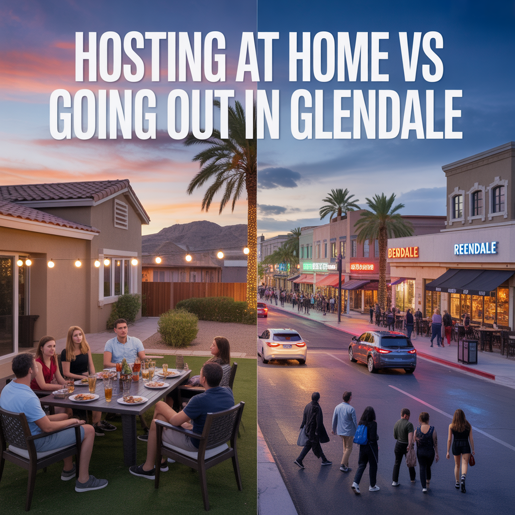
Hosting at Home vs Going Out in Glendale
-

Spontaneous Nights Out vs Planned Nights Out
-

Family-Friendly Go-To Spots vs Late-Night Pockets
-

Event-Night Dining Patterns and Congestion
-
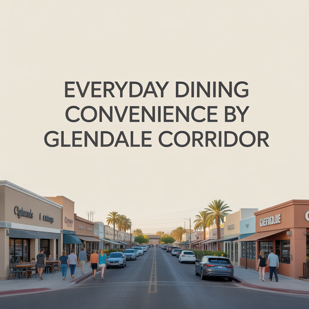
Everyday Dining Convenience by Glendale Corridor
-
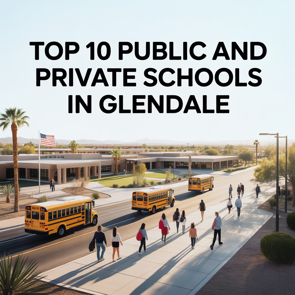
Top 10 Public and Private Schools in Glendale
-
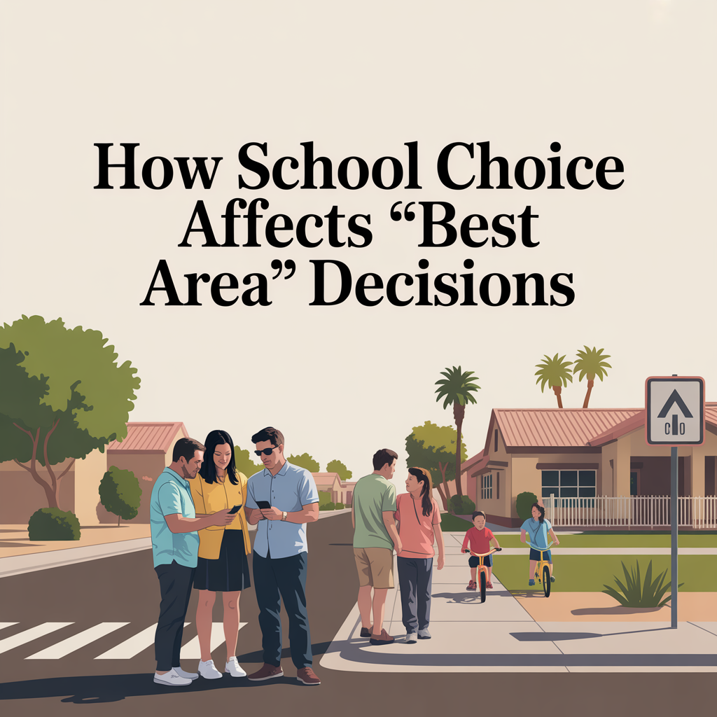
How School Choice Affects “Best Area” Decisions
-

Weekend Events and Youth Sports Rhythm
-

Parent Networks and Community Anchors
-

Family Morning and Evening Movement Patterns
-
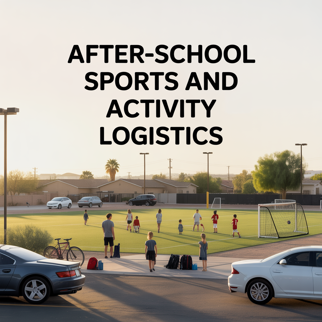
After-School Sports and Activity Logistics
-
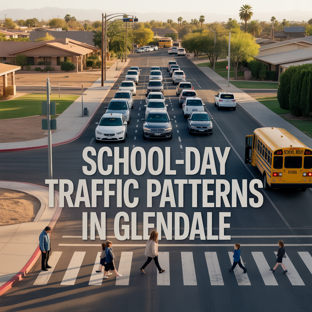
School-Day Traffic Patterns in Glendale
-

How Often You Cross the Valley From Glendale
-

Heat and Shade Differences by Neighborhood
-
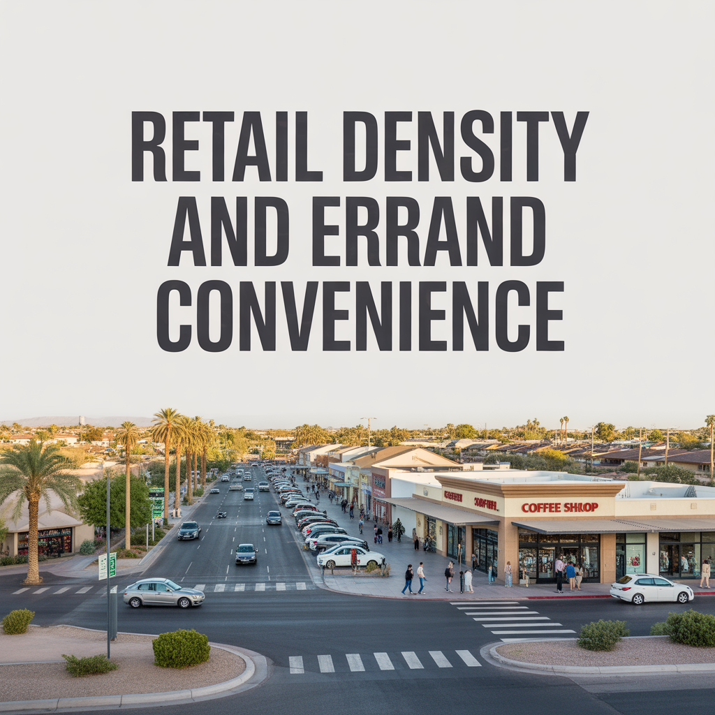
Retail Density and Errand Convenience
-
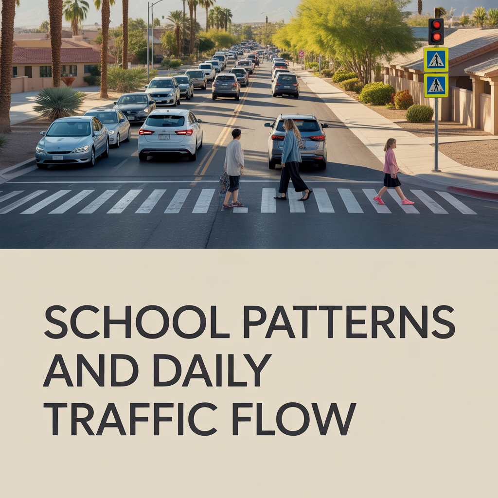
School Patterns and Daily Traffic Flow
-

Freeway Access and Arterial Efficiency in Glendale
-

Established Glendale Neighborhood Cores vs Newer Pockets
-
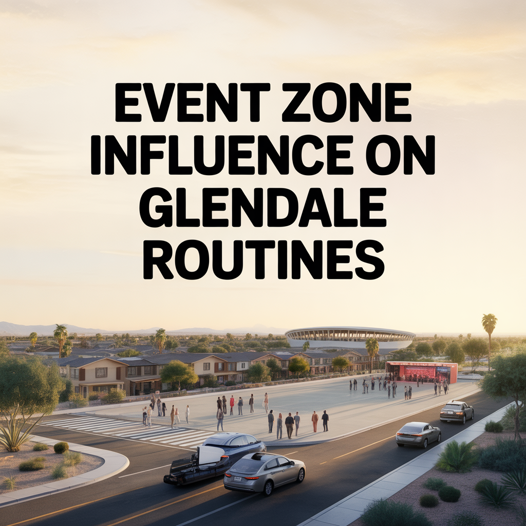
Event Zone Influence on Glendale Routines
-

Impact on Pets and Kids During Tempe Summers
-

Seasonal Shifts in Outdoor Time Across Tempe
-
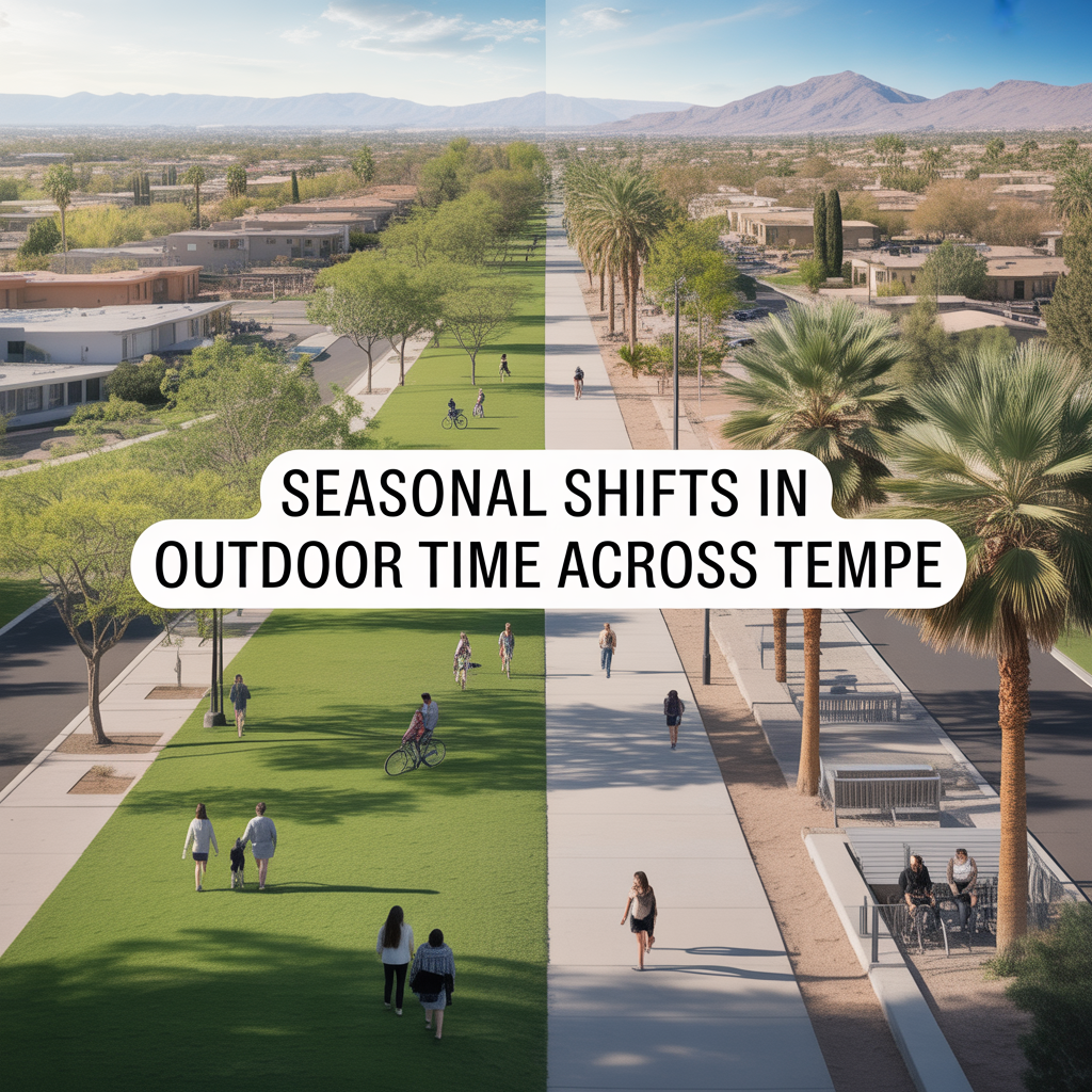
Seasonal Shifts in Outdoor Time Across Tempe
-
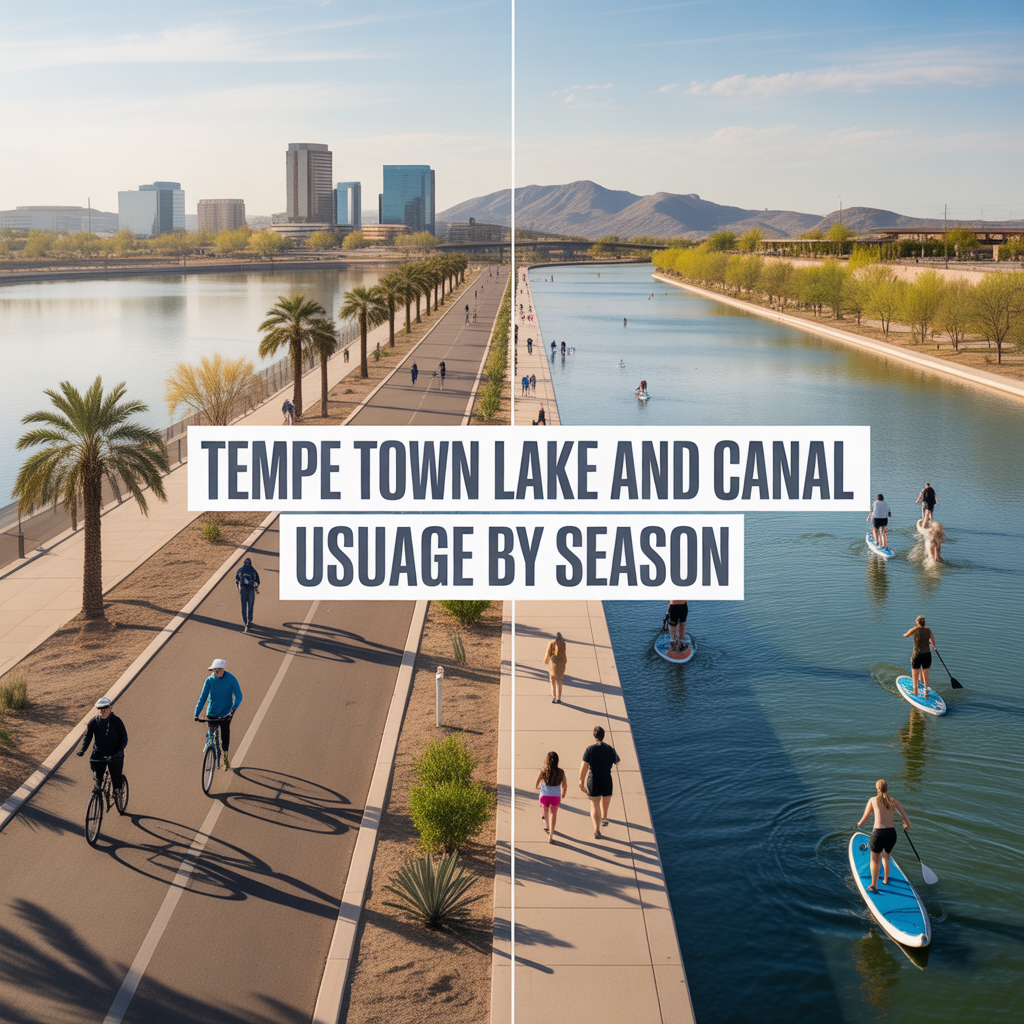
Tempe Town Lake and Canal Usage by Season