


Chandler Lifestyle Guide → [Chandler Lifestyle Guide] & For more info on Chandler Real Estate → [Chandler Real Estate Guide]
Written by: Renee Burke
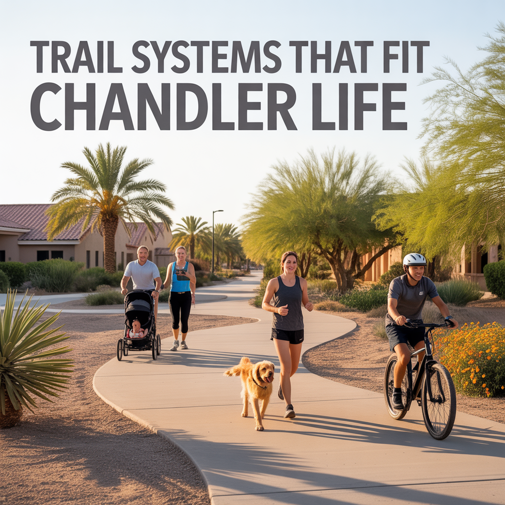
Chandler’s trail systems weave seamlessly into everyday rhythms — gentle paths along canals that link your morning coffee to an evening unwind, without ever feeling like a workout chore. I’ve traced these routes countless times with clients, watching how they turn neighborhoods into living, breathing spaces rather than just addresses. They’re not rugged mountain treks; they’re practical connectors designed for stroller pushes, bike commutes, and sunset walks that fit our desert pace.
These trails buffer active parks from quiet homes, easing that common worry about traffic or noise, while boosting walkability in family cores. Let’s follow the ones locals rely on, area by area.
Paseo Trail: East Chandler’s Canal Lifeline
The 6.5-mile Paseo Trail hugs the eastern Consolidated Canal from Galveston Street south to Riggs Road — a smooth 10-foot concrete path perfect for joggers, families, and e-bikes. Access it via Paseo Vista Recreation Area or Tumbleweed Park’s lots with restrooms, and it spills into Gilbert and Mesa for endless extension.
Sun Groves and Cooper Commons residents claim it daily — school runs by bike, lunchtime loops, or dusk birdwatching. It’s the subtle connector that makes south Chandler feel boundless yet safe, lifting nearby homes with that “trail-adjacent” premium.
Consolidated Canal Path: The 18-Mile Network
Stretching 18 miles through Chandler, this multi-use system links Paseo Trail with urban edges — paved for comfort, paralleled by horseback dirt on the west bank. Parking at Tumbleweed or Tibshraeny Park keeps it approachable, with underpasses dodging busy roads like Price or Dobson.
Ocotillo pros use it for stress-free commutes to Intel; families string it to Veterans Oasis for picnics. It’s versatile — casual by day, reflective at twilight — addressing suburban isolation beautifully.
Veterans Oasis Pathways: Nature-Infused Loops
Inside Veterans Oasis Park, paved and dirt trails form a 1-mile core loop expandable via Paseo connections — archery overlooks, wetlands boardwalks, and disc golf weave in mild adventure. Shaded benches and restrooms make it a daily staple, not a special trip.
Fulton Ranch walkers hit it pre-work; birders linger midday. This blend of active and serene fits lakefront lifestyles, stabilizing values in gated enclaves.
Downtown Chandler Loops: Urban Trail Blends
Dr. A.J. Chandler Park’s paths tie into shorter canal connectors — tree-lined strolls from historic districts to splash pads, under 2 miles but rich with stops like coffee carts or art. They’re paved, lit, and event-ready without straying far.
San Marcos couples pace them evenings; dog owners midday. Perfect for urban density that doesn’t sacrifice green.
West Chandler Rail Trails: Relaxed Neighborhood Links
Desert Breeze Park’s lakeside loops and rail-adjacent paths offer 2-3 mile circuits — fishing detours, playground hops, mostly flat for all ages. They buffer ranches from Ray Road bustle.
Retirees fish mornings; families evening circuits. Low-key charm that nurtures westside roots.
Why Chandler Trails Feel Like Home
These systems prioritize usability over show — connecting parks like Tumbleweed to homes without steep climbs or isolation. They combat “car-dependent suburb” fears, adding 8-12% walk-score value to trail-proximate properties in family zones. Year-round mild weather makes them daily habits, not seasonal.
It’s Chandler’s quiet genius: trails that enhance life stages from toddler bikes to retirement rambles.
Step Into Your Chandler Trails
Chandler’s trails make neighborhoods pulse with possibility, right at your doorstep.
If this sparks visions of morning paths near your ideal home, you don’t have to navigate them alone. I’ve walked these lines with families finding their fit. Reach out — let’s trace the trails that match your stride, one gentle mile at a time.
Get the full Phoenix Market Insights → [Market Insights]

-
Shade Coverage and Tree Canopy Differences by Corridor
-
Summer Walkability Reality Near ASU and Mill Avenue
-
Choosing Proximity Based on Personality and Routine
-
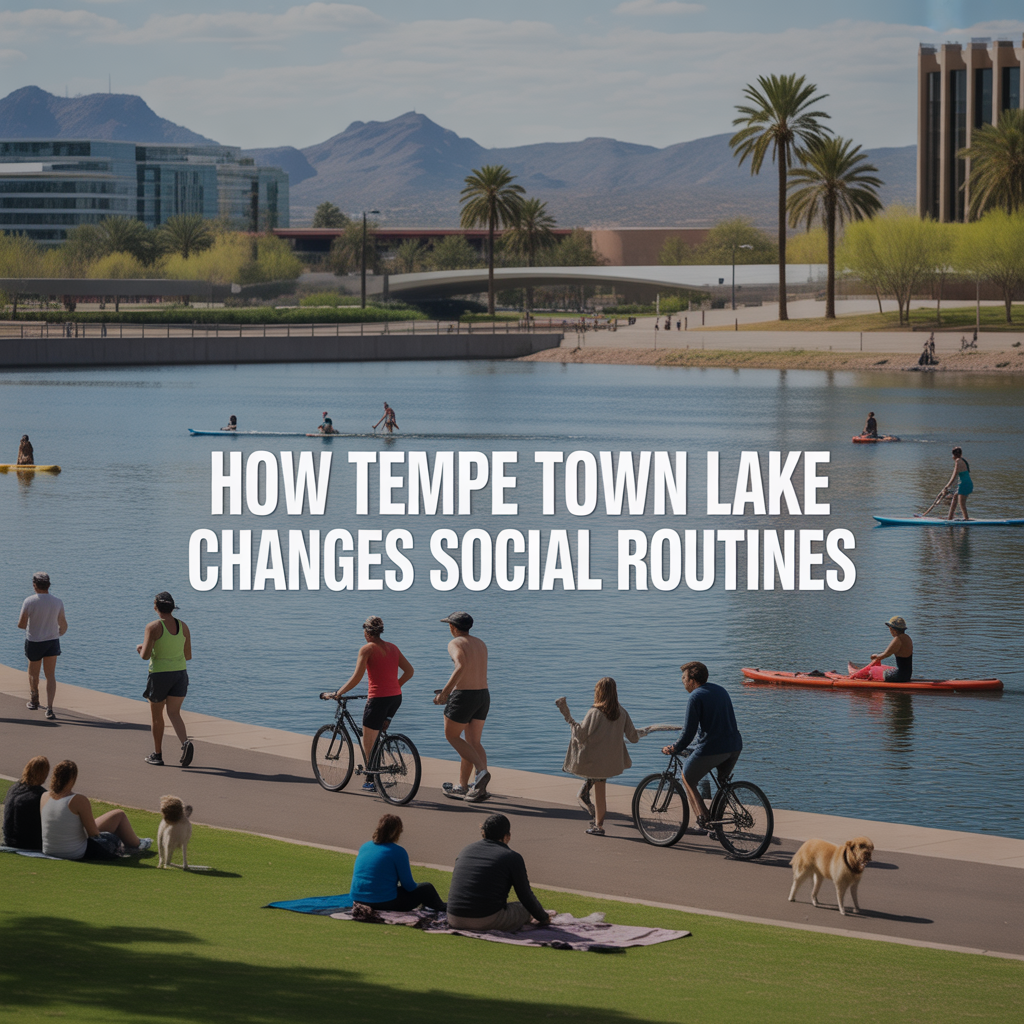
How Tempe Town Lake Changes Social Routines
-
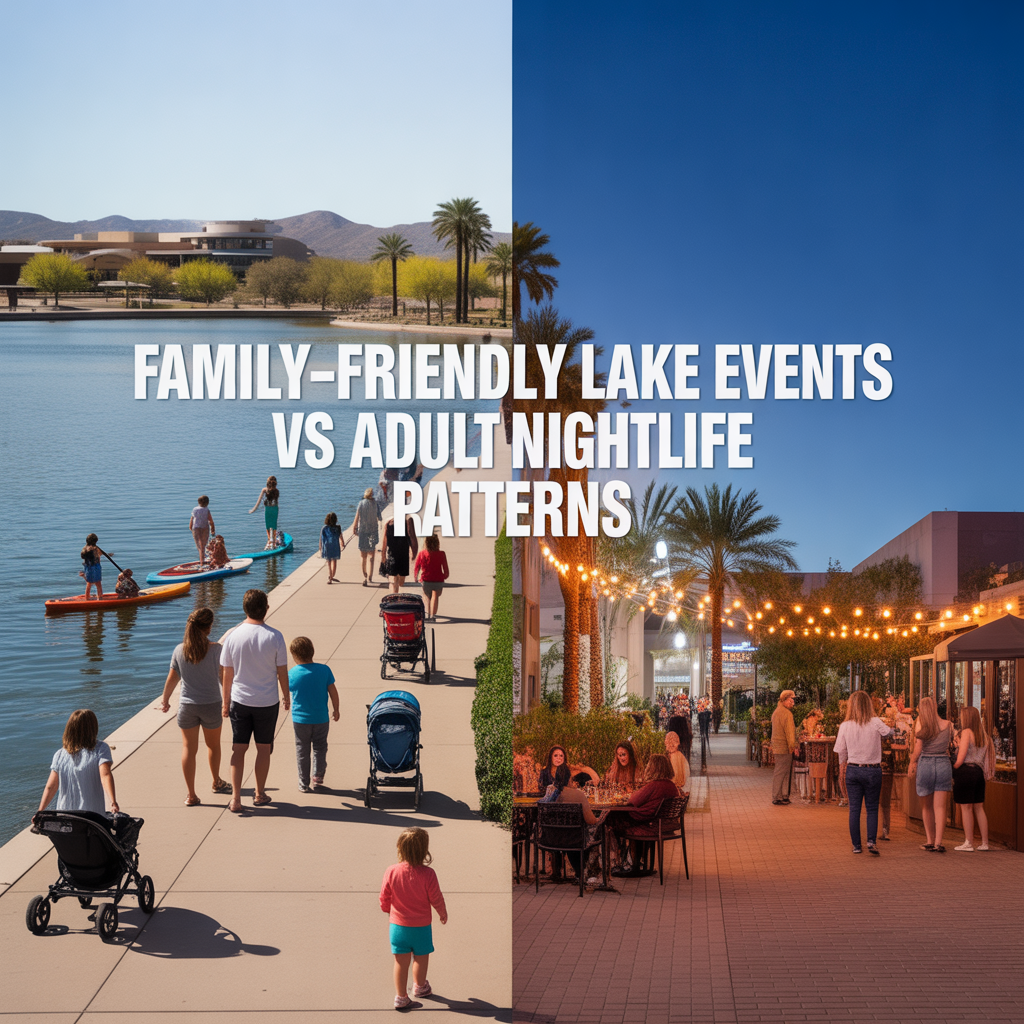
Family-Friendly Lake Events vs Adult Nightlife Patterns
-

Parking Structures and Rideshare Realities on Peak Nights
-
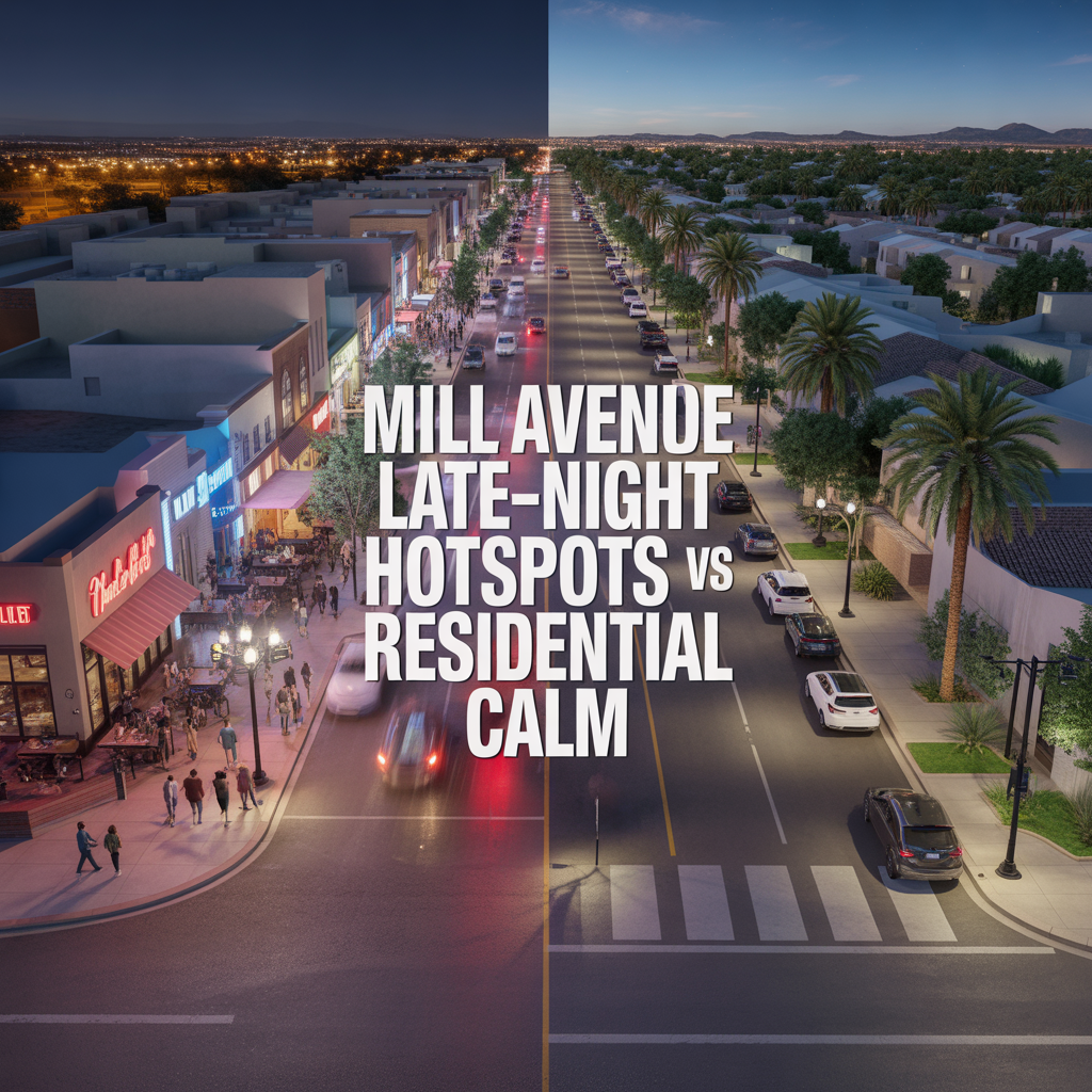
Mill Avenue Late-Night Hotspots vs Residential Calm
-

ASU Game Days and Event Calendar Impacts
-
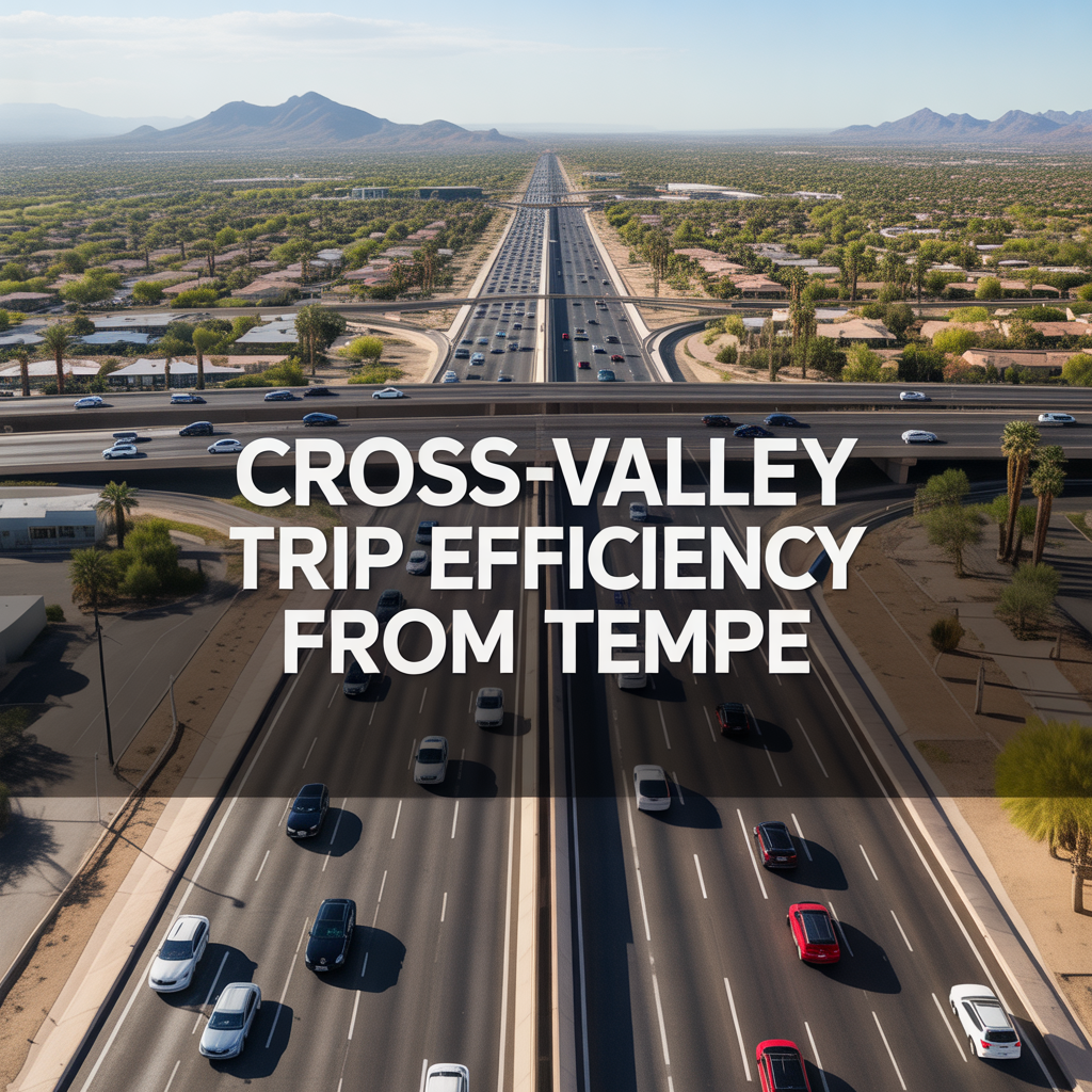
Cross-Valley Trip Efficiency From Tempe
-
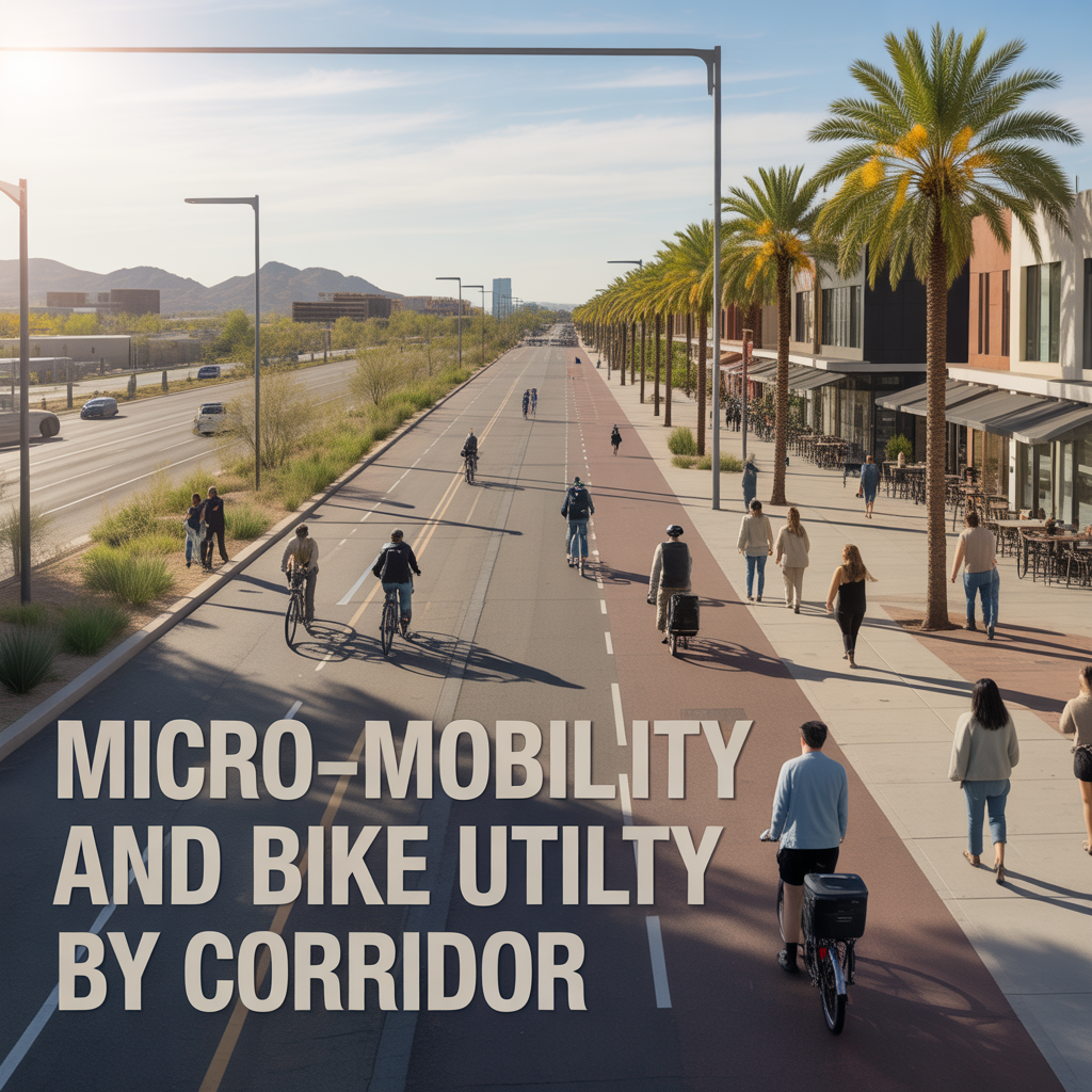
Micro-Mobility and Bike Utility by Corridor
-

Park-And-Ride, Game Day, and Event Access Patterns
-

Airport Timing Strategy Around ASU and Rush Hour Traffic
-

Light Rail Use Cases That Actually Improve Daily Life
-
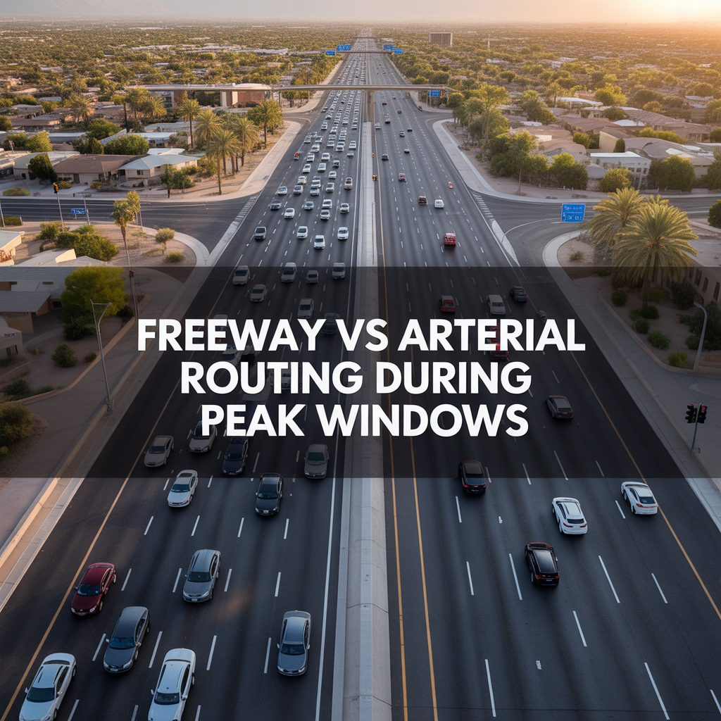
Freeway vs Arterial Routing During Peak Windows
-

Real-World Drive Times to Sky Harbor From Different Tempe Pockets
-

How Traffic and Commute Direction Affect Daily Life in North vs South Tempe
-

Bike Paths, Walkability, and Short-Distance Transportation in Tempe
-

Driving Access From Tempe to Phoenix Sky Harbor Airport
-

Light Rail Access Between Tempe, Downtown Phoenix, and Mesa
-

Major Tempe Arterial Roads Including Rural Road, McClintock Drive, and Baseline Road
-

ASU Traffic Patterns and Peak Congestion Near Campus
-

Typical Commute Times From Tempe to Phoenix, Scottsdale, and Chandler
-
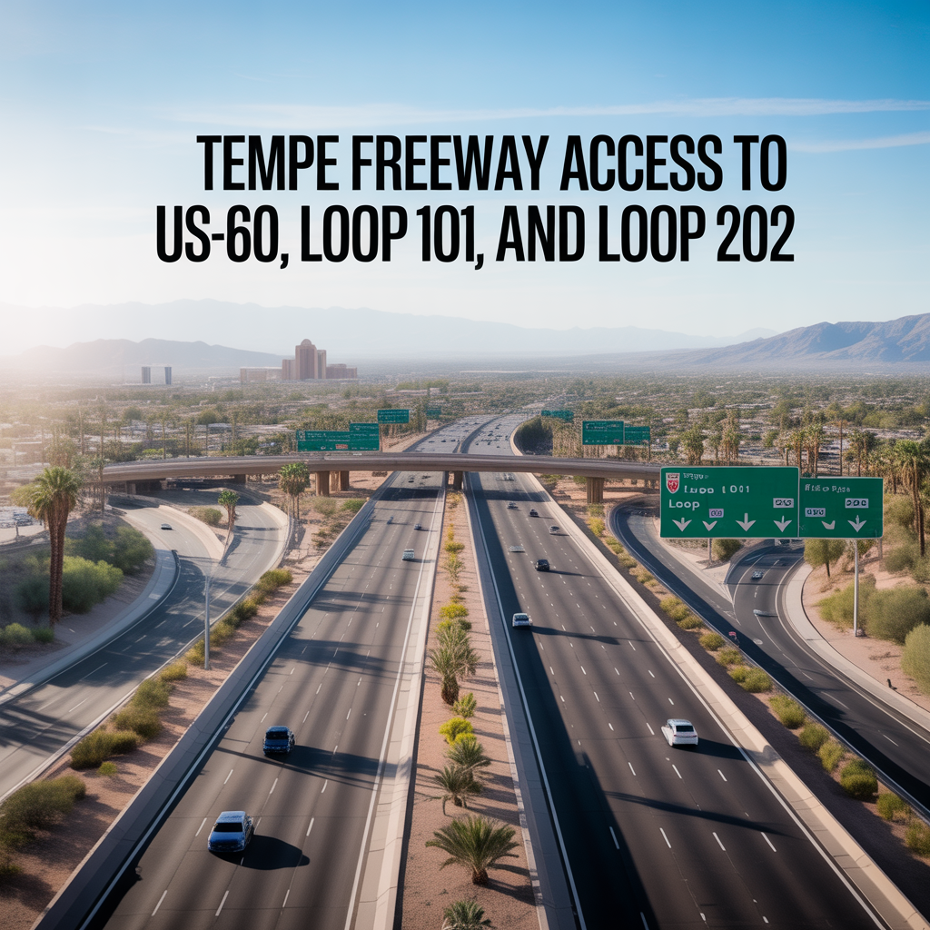
Tempe Freeway Access to US-60, Loop 101, and Loop 202
-
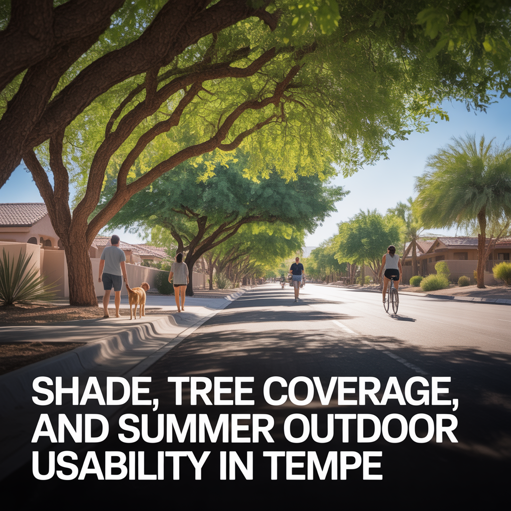
Shade, Tree Coverage, and Summer Outdoor Usability in Tempe
-
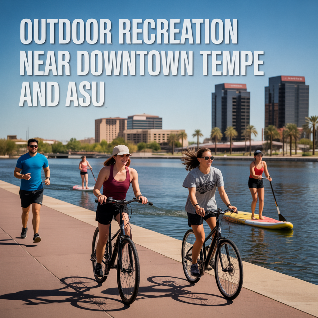
Outdoor Recreation Near Downtown Tempe and ASU