


Chandler Lifestyle Guide → [Chandler Lifestyle Guide] & For more info on Chandler Real Estate → [Chandler Real Estate Guide]
Written by: Renee Burke
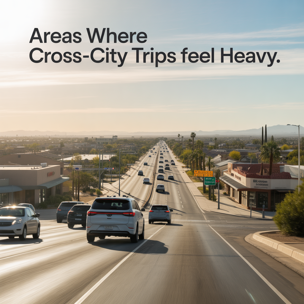
Cross-city trips in Chandler can turn frustrating quickly, especially when you’re weaving through the East Valley’s busiest corridors during peak hours. As someone who’s navigated these roads for years while helping families settle into homes around the Phoenix metro, I know exactly where the slowdowns hit hardest — and how they impact your daily rhythm.
Chandler Boulevard: The East-West Chokepoint
Chandler Boulevard stretches across the heart of the city, but its intersections with major north-south arterials make cross-city jaunts feel endless. At Arizona Avenue, high-speed merges from the south clash with left turns into shopping plazas, creating backups that stretch a mile during morning rushes. I’ve counseled clients living near here who dread the 7-9 a.m. crawl just to reach Loop 202 — what should be 10 minutes balloons to 25.
Further west, the crossing at Dobson Road piles on retail traffic from nearby centers and school pickups, turning midday errands into slogs. Eastbound toward McQueen Road, signal timing lags behind surging demand from evening commuters heading to Loop 101, where left-turn lanes overflow and tempers fray. These spots aren’t just busy; they dictate whether your commute supports a balanced life or drains your energy before you even arrive.
Arizona Avenue: North-South Truck and Commute Gauntlet
Arizona Avenue channels relentless flow from Queen Creek Road up through downtown Chandler, bearing trucks from distribution hubs and commuters from Intel’s sprawling campus. South of Chandler Boulevard, the road narrows slightly amid strip malls, where delivery vans dart in and out, slowing crossovers to Gilbert or Mesa. Families in nearby neighborhoods often share stories of 45-minute delays on what maps promise as a 15-minute hop.
Northbound past Frye Road, the avenue swells with Fashion Center shoppers and shift workers, making east-west connectors like Warner Road feel impossibly clogged. During 4-6 p.m. rushes, red lights compound the issue, as turning traffic blocks through lanes. If you’re eyeing homes along this corridor, understanding these patterns helps you choose a property where proximity trumps perfection — perhaps a spot with quicker Santan Freeway access.
Ray Road and Alma School: East-West Merge Mayhem
Ray Road’s intersection with Alma School Road epitomizes the east-west grind, funneling office workers toward Loop 202 while locals cut through to avoid freeways. Heavy right-turn volumes from southbound Alma School create rolling stops, and midday lunch traffic from nearby businesses adds unpredictability. Clients tell me this stretch routinely doubles travel times for trips spanning Chandler’s midsection.
East of here, Ray Road hugs residential zones before hitting signals at Dobson and McQueen, where apartment complexes spill vehicles during shift changes. These aren’t isolated; they link into broader patterns where Chandler’s growth — new multifamily units and logistics parks — outpaces road widening. Thoughtful planning means selecting a neighborhood like Fulton Ranch, where side streets offer detours without sacrificing lifestyle.
Frye Road and Dobson Road: Retail and Shift Disruptors
Frye Road near the Chandler Fashion Center transforms into a parking lot around mall hours, with Frye at Arizona Avenue seeing fender-bender spikes from distracted drivers. Cross-city trips here juggle pedestrians jaywalking to outlets and buses loading shoppers, stretching patience thin on weekends. Dobson Road south of Germann Road curves through high-density pockets, risky for quick hops to Gilbert as speeds fluctuate wildly.
These roads feel heavy because they serve dual roles: commuter arteries by day, entertainment veins by night. Evening rushes amplify delays as Intel employees flood Frye, overlapping with diners heading to local favorites. For homebuyers, this underscores prioritizing quiet cul-de-sacs off main drags, ensuring your sanctuary stays serene despite the bustle.
Peak Patterns and Why They Persist
Rush hours anchor the chaos — mornings from 7-9 a.m. as Valley workers converge, evenings 4-6 p.m. when everyone scatters home. Midday spikes hit retail strips around noon, while weekends mimic weekdays near anchors like the mall. Chandler’s population boom, fueled by tech jobs and affordable housing, has layered residential cut-throughs atop commercial loads.
Big rigs accessing warehouses along McQueen and Arizona Avenue add length to queues, their wide turns gumming signals. Weather plays in too — monsoon-season downpours turn arterials into rivers, and summer heat swells tempers alongside volumes. Yet, patterns are predictable; apps like Waze help, but local knowledge shines for long-term strategies like timing school runs or selecting flex-work homes.
Real-Life Impact on Daily Life
Imagine starting your day stuck on Chandler Boulevard, coffee cooling as you inch toward work — that’s the reality for many East Valley families. Cross-city trips to Mesa for kids’ activities or Phoenix appointments drain time better spent at Ocotillo’s trails or Chandler’s farmers market. Sellers worry these spots scare buyers; truthfully, transparency builds trust, highlighting gems like South Chandler where arterials feel distant.
For renters transitioning to ownership, these heavy zones signal where park-and-ride lots offer relief, shaving stress from routines. I’ve walked buyers through traffic logs, helping them map commutes that align with family calendars — perhaps a home near Elliot Road’s quieter eastern end, dodging Dobson entirely.
Navigating and Mitigating the Heaviness
Timing matters: shift drives 30 minutes earlier or flex hours to beat peaks. Alternate routes like Pecos Road bypass Ray’s worst, though watch for construction detours. Chandler’s traffic calming — roundabouts on Frye, extended signals on Arizona — eases some pain, but growth demands vigilance.
Public transit integration helps too; Valley Metro buses from high-congestion nodes link to light rail, ideal for occasional Phoenix runs. Biking lanes on Warner Road offer active alternatives for shorter crossovers, blending health with hassle-free travel. As your guide, I stress site visits during rush hour — see how a property truly flows into your life.
Long-Term Outlook for Chandler Roads
Expansion plans promise relief: widening Arizona Avenue north of Warner and signal upgrades at McQueen. Loop 202 extensions ease shoulder pressure, though near-term builds mean orange barrels. Chandler’s balancing act — jobs, homes, recreation — keeps trips heavy, but smart infrastructure keeps it manageable.
Homebuyers benefit from this evolution; areas like Agritopia thrive despite proximity, their walkable cores insulating from arterial grind. Monitoring updates via city apps ensures you’re ahead, turning potential pain into positioned advantage.
In the end, Chandler’s cross-city trips test patience but reward the prepared. Knowing these heavy zones empowers choices — whether buying, selling, or simply living fuller here in the East Valley.
If you’re thinking about making a move in Phoenix, you don’t have to figure it out alone — reach out anytime, and I’ll guide you through the details with the care you deserve.
Get the full Phoenix Market Insights → [Market Insights]

-
Separating Lifestyle Spending From Homeownership Costs
-
How Usage Changes Monthly Ownership Costs
-
Planning Around Utility Cost Volatility
-
Why Variable Expenses Drive Most Budget Stress
-
Fixed Costs That Aren’t Actually Fixed
-
Budgeting for the House You’ll Own in Five Years
-
Why Ownership Cash Flow Feels Tighter Over Time
-
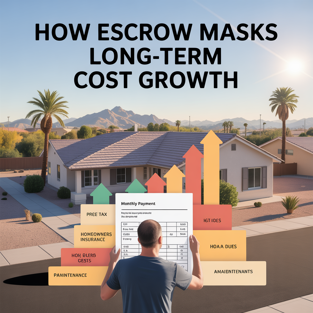
How Escrow Masks Long-Term Cost Growth
-
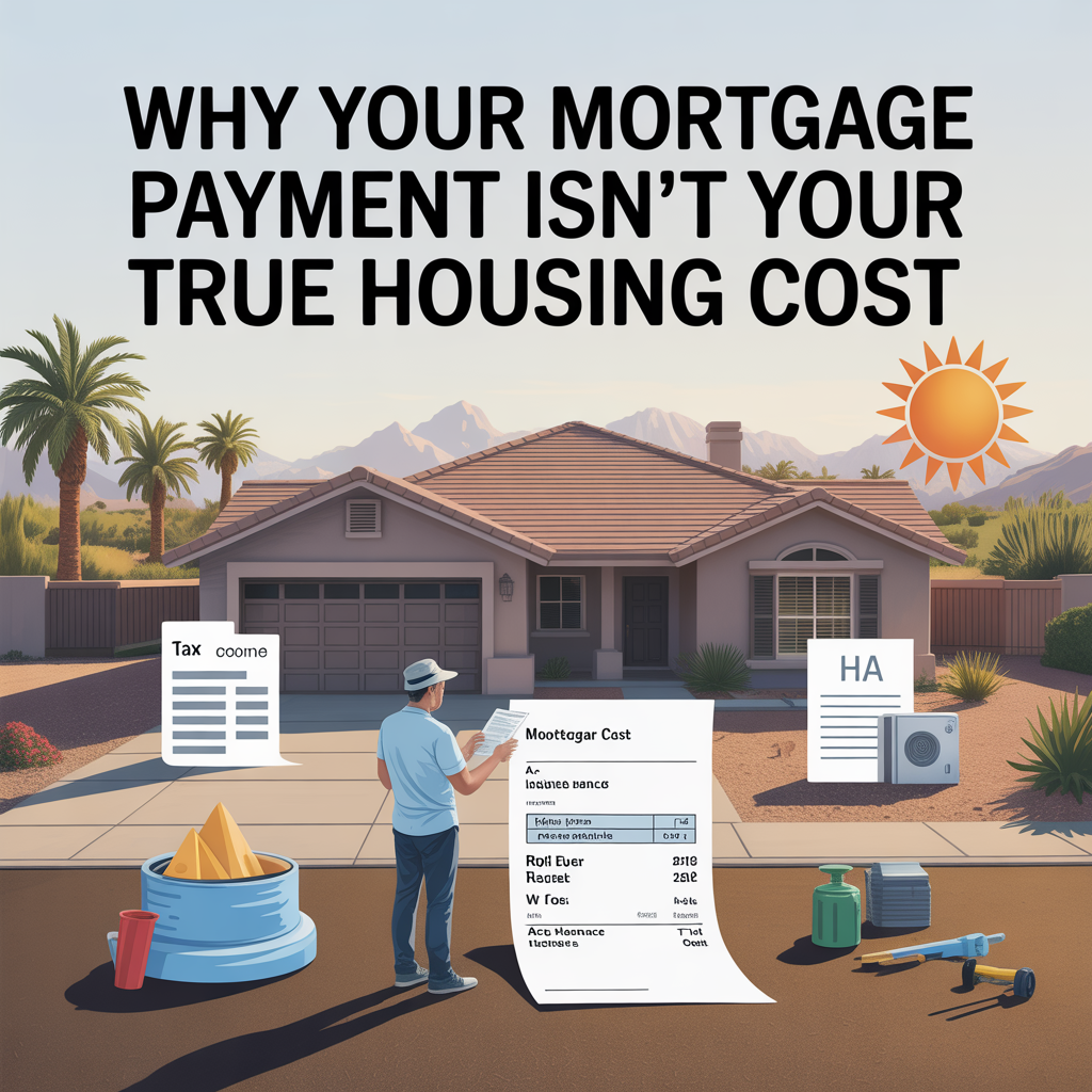
Why Your Mortgage Payment Isn’t Your True Housing Cost
-
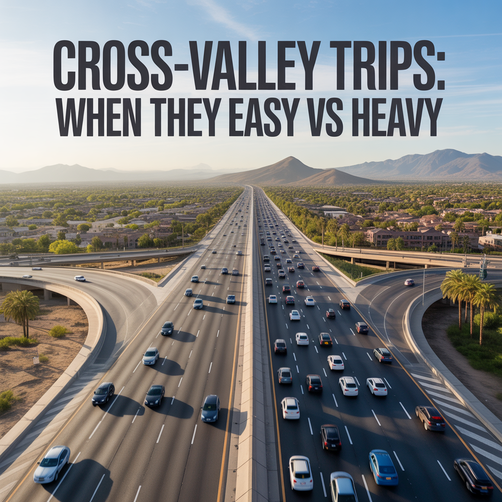
Cross-Valley Trips: When They Feel Easy vs Heavy
-
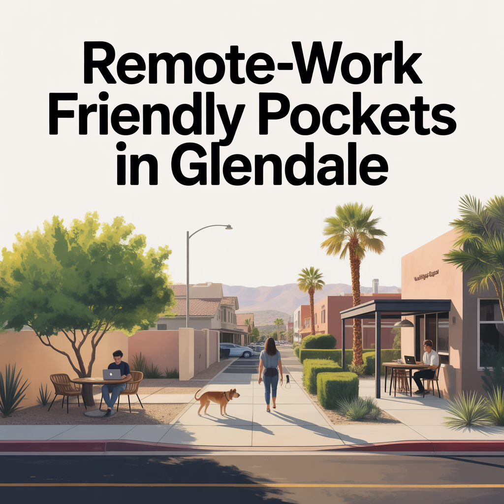
Remote-Work Friendly Pockets in Glendale
-
School-Run Congestion Zones and Timing
-
Arterial Routing and “Daily Loop” Efficiency
-

State Farm Stadium and it’s Effect on Life and Property Value
-
Freeway Access as a Lifestyle Multiplier in Glendale
-
Event-Night Traffic Impacts and Avoidance Strategies
-
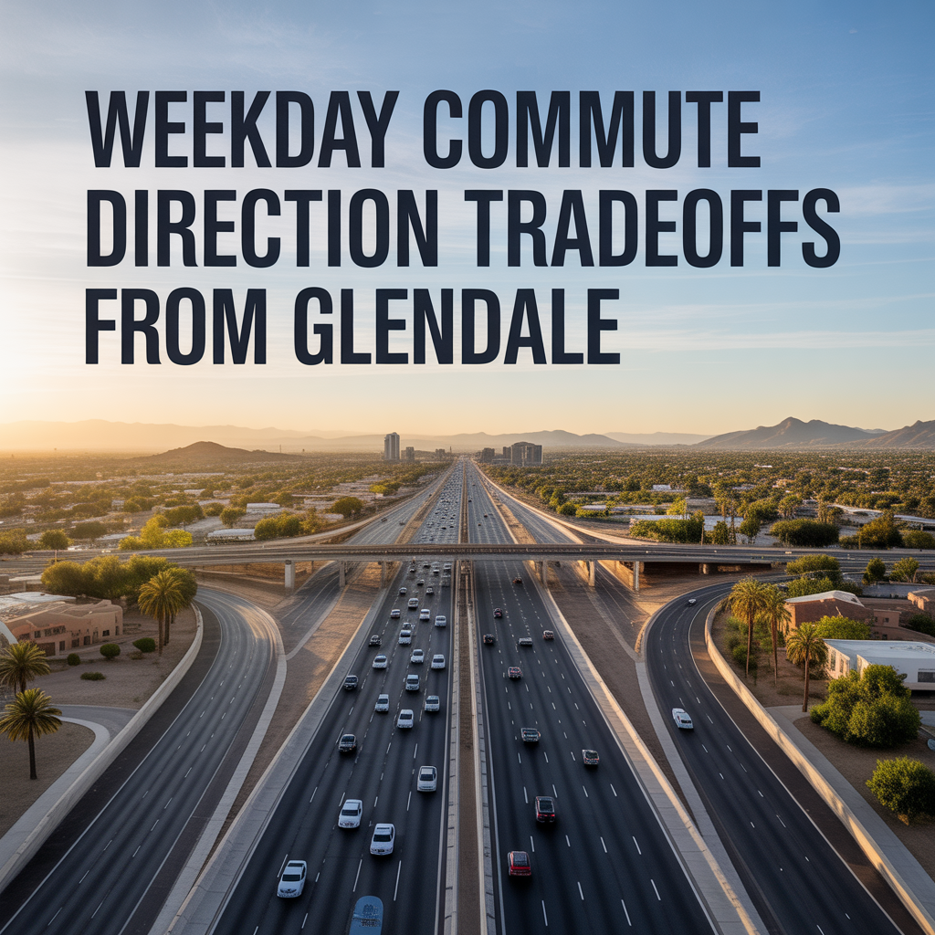
Weekday Commute Direction Tradeoffs From Glendale
-
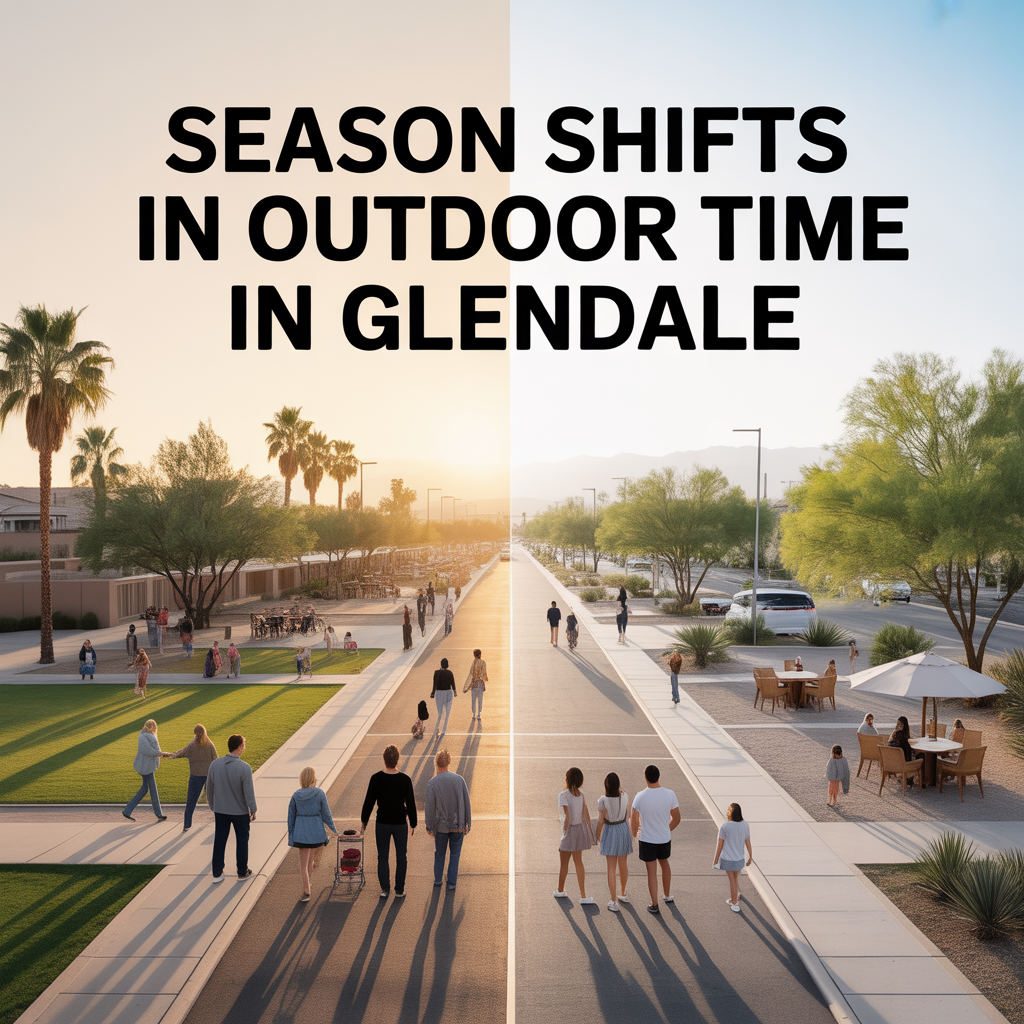
Season Shifts in Outdoor Time in Glendale
-
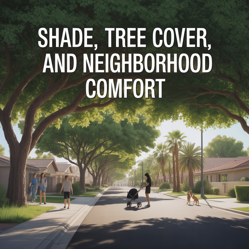
Shade, Tree Cover, and Neighborhood Comfort
-

Dog and Kid Friendly Outdoor Routines
-
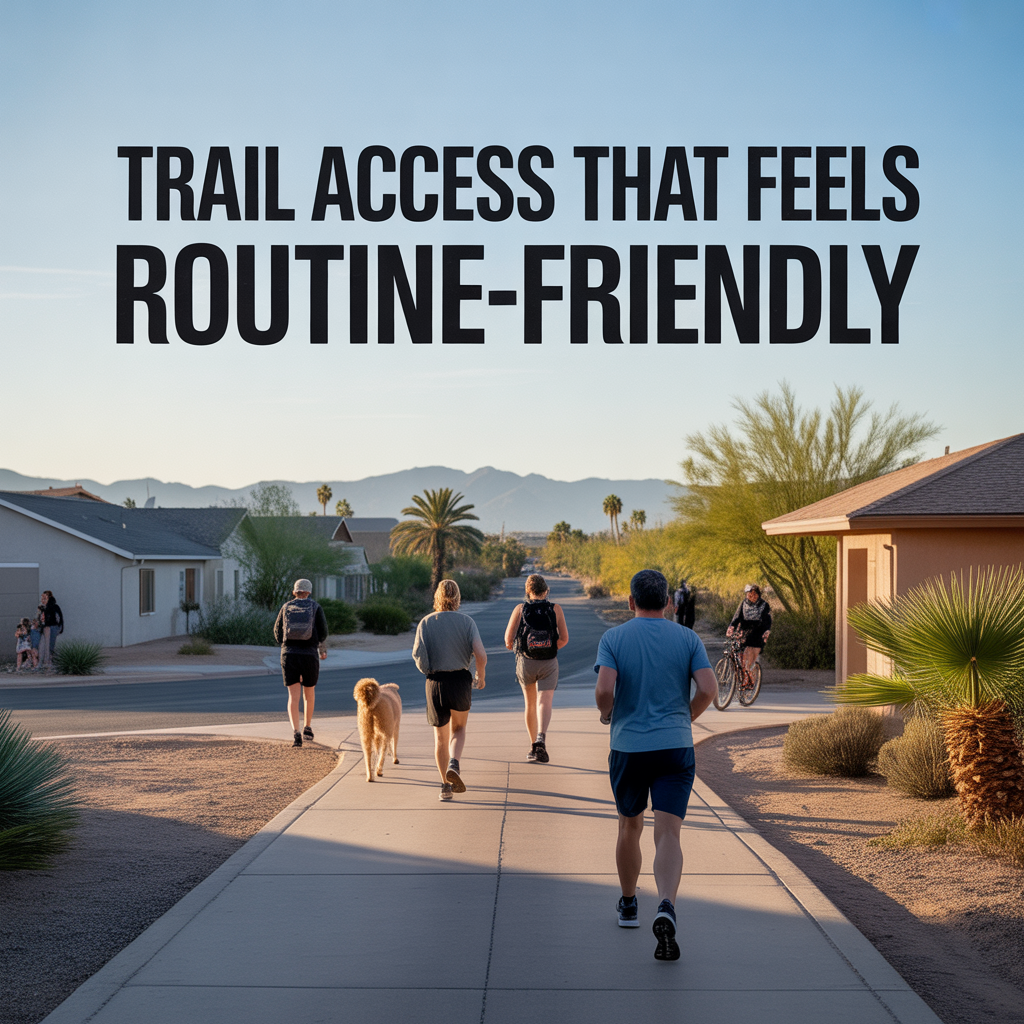
Trail Access That Feels Routine-Friendly
-
Sports Parks and Family Recreation Patterns
-
Map Proximity vs Summer Usability in Glendale
-
Daily-Use Parks vs Weekend Outdoor Trips
-
Top 10 “Date Night Out” Spots in Glendale