


Mesa Lifestyle Guide → [Mesa Lifestyle Guide] & For more info on Mesa Real Estate → [Mesa Real Estate Guide]
Written by: Renee Burke
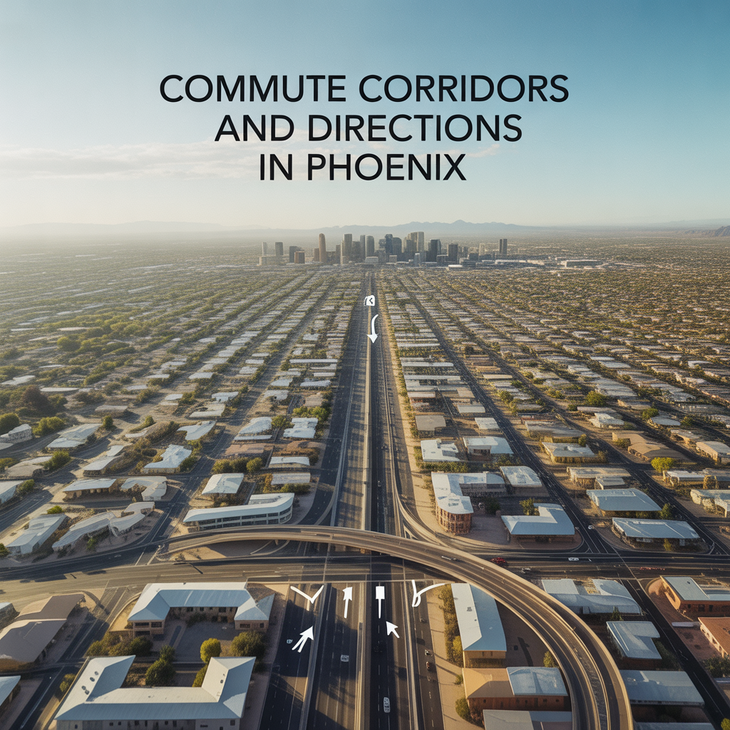
Commute corridors in Phoenix quietly shape how life actually feels here—how early you set your alarm, which nights you say yes to dinner plans, and whether your drive home feels like a deep breath or a daily battle. When you understand the main routes and directions our city moves in, choosing the right neighborhood becomes much less overwhelming.
How Phoenix Really Moves
Phoenix is a driving city at heart, built around a wide, well-connected freeway grid that makes distances look long on a map but surprisingly manageable in real life. Our primary spines are Interstate 10 running east–west through the core, Interstate 17 heading north toward Flagstaff, and the Loop 101 and Loop 202 freeways circling and stitching together the suburbs. State Route 51 runs north–south from central Phoenix toward the northeast, giving quick access to areas like North Central, the Biltmore corridor, and Desert Ridge.
Most people organize their daily lives around these corridors—where they work, which school drop-offs are realistic, and how often they want to head into downtown or out to places like Tempe, Scottsdale, or the West Valley. Once you know which freeway you’ll lean on most, the city becomes much easier to navigate.
Rush Hour Patterns and Typical Directions
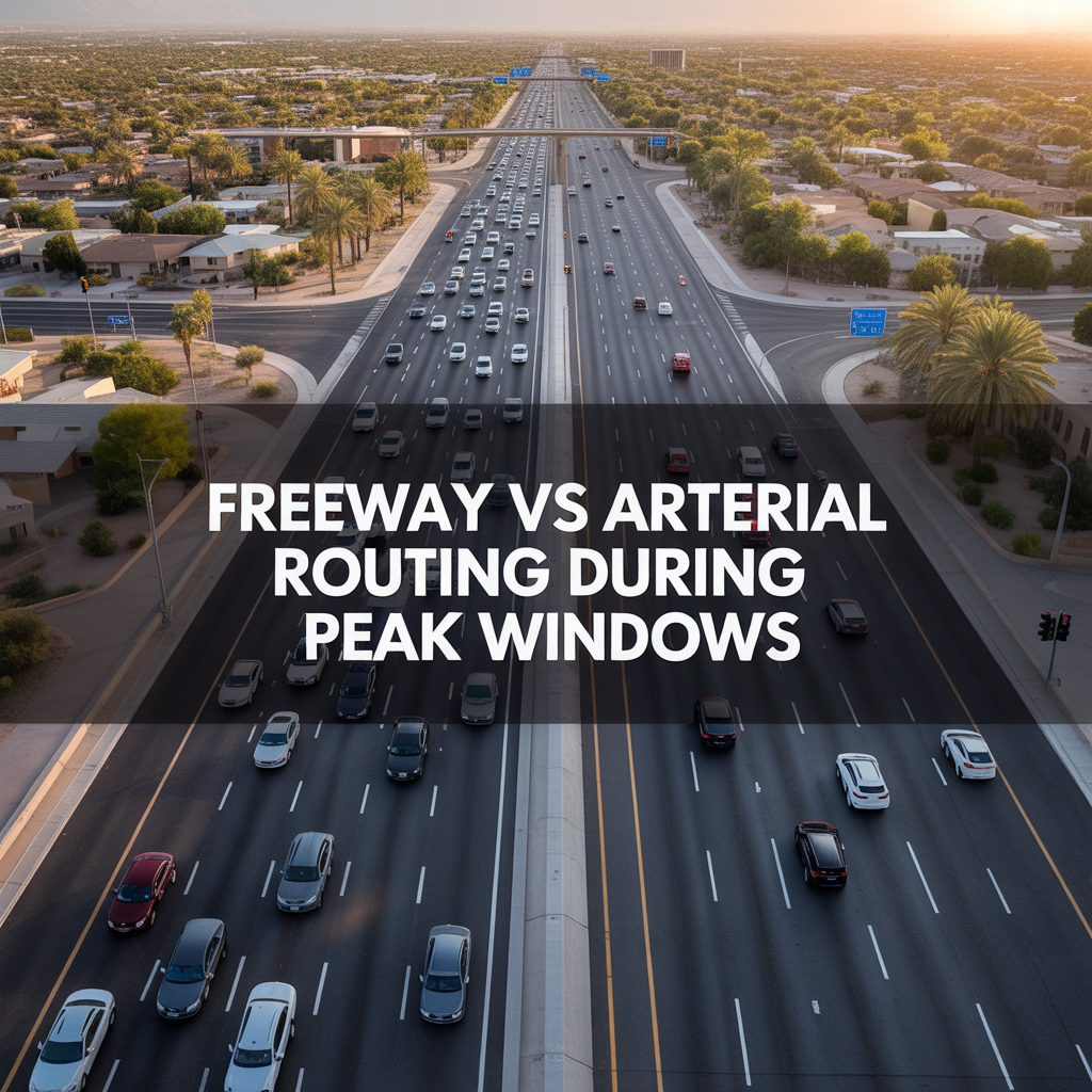
Rush hour in Phoenix tends to follow a predictable pattern, even if individual days bring small surprises. On weekdays, morning traffic generally peaks between about 6–9 a.m., with the heaviest push often from 7:30–8:30 a.m., while evenings usually see the worst congestion from roughly 3–6 p.m., especially around 4–5 p.m. That’s when commuters, school pickups, and long-haul trucks all share the same stretches of freeway.
In the mornings, most flows are into central job centers—downtown Phoenix, the Biltmore area, Tempe, Scottsdale, and major employment corridors along the Price, I‑17, and Deer Valley areas. In the late afternoon, the movement reverses, with traffic fanning outward toward the East Valley, North Phoenix, and the West Valley suburbs as people head home.
If you work a traditional schedule, it’s not so much about avoiding rush hour entirely as it is about understanding where your particular bottlenecks are likely to be and how much they’ll really impact your day.
The Major Freeway Corridors
Each freeway in Phoenix has its own personality, and I always walk clients through how they actually feel at different times of day.
- I‑10 (Papago and Maricopa Freeway): This is our main east–west backbone, carrying commuters between the West Valley, downtown, the airport, Tempe, and the East Valley. The central segment between the I‑17 interchange and the airport—the “Inner Loop”—is one of the busiest stretches, with morning and evening backups common in both directions.
- I‑17: Runs north–south from central Phoenix, serving job centers along the corridor and linking to northern suburbs and weekend getaways. It can slow around the downtown “Stack” interchange and near major cross streets during peak times.
- Loop 101: Encircles much of the metro, with segments through the West Valley, North Phoenix/Scottsdale, and the East Valley. It’s a favorite for cross-town trips but can see heavy volume near major junctions, retail hubs, and entertainment districts.
- Loop 202: Connects sections of the Valley through the Santan, Red Mountain, and South Mountain segments, tying into I‑10 and US‑60. It’s especially important for East Valley and South Phoenix commutes, as well as bypassing the downtown core.
- US‑60 (Superstition Freeway): A key east–west route through Tempe and Mesa, often dense during typical rush periods with flows to and from East Valley neighborhoods.
- SR‑51: A direct north–south corridor from central Phoenix toward the northeast, popular for commuters moving between central job nodes and North Phoenix or Desert Ridge.
When we look at homes together, I’m not just asking, “How far is it?” I’m asking, “Which of these corridors will you live on day in and day out, and how does that feel for you?”
Light Rail, Park-and-Ride, and Alternate Paths
Even in a freeway-focused city, you’re not limited to driving every mile yourself. Valley Metro Rail has grown into a meaningful east–west spine for many Phoenix commuters, especially those who work downtown or in Tempe. The system now runs roughly 38 miles, with an A Line carrying riders between Mesa and downtown Phoenix and a B Line running north–south between Metrocenter and Baseline/Central. Trains typically start around 4 a.m., run until late evening, and arrive about every 15 minutes in peak periods.
For some clients, especially those working in the downtown core or near the university hubs, pairing a light rail ride with park-and-ride lots or short drives creates a calmer, more predictable commute. There are also long-term plans and ongoing work to extend rail and improve transit connections further west and across additional corridors, gradually giving more neighborhoods a true alternative to driving.
Directions That Shape Daily Life
One of the most important things I help people uncover is not just how long a commute might take on paper, but which direction they’ll be driving and at what times. Morning sun in your eyes heading east on the US‑60, for example, feels very different than a shaded north–south run on SR‑51.
- Westbound commutes in the morning toward downtown or the central corridor tend to funnel onto I‑10, US‑60, or Loop 202 segments that can be busy but predictable.
- Northbound commutes from South Phoenix or the East Valley into Midtown or the Biltmore area often rely on SR‑51 or I‑17, each with their own pinch points at major interchanges.
- Eastbound and outbound evening drives carry that traditional rush load back toward the suburbs, particularly 4–6 p.m., when school traffic and flexible work schedules converge with standard nine-to-five patterns.
Once we understand whether your life pulls you mostly north–south, east–west, or along a loop, we can narrow neighborhoods in ways that make your day feel calmer—not just “doable.”
Simple Ways to Test a Potential Commute
Before you commit to a neighborhood, it can be incredibly grounding to “test drive” your likely routine. A few gentle steps I often suggest:
- Drive your potential route at your actual commute times at least once or twice to feel the rhythm of merging, lane changes, and typical slow spots.
- Try the same trip at a slightly earlier or later time to see how much flexibility might ease your experience.
- If light rail or bus service could be an option, ride it once to understand timing, parking, and how you feel about the crowds and transfers.
- Use real-time traffic apps for a few weeks to watch how your chosen corridors behave during your likely schedule, even before you move.
These small experiments give you something more valuable than a map—real peace of mind about the patterns you’re stepping into.
A Warm Invitation
If you’re thinking about making a move in Phoenix and commute questions are sitting in the back of your mind, you don’t have to figure it out alone. We can sit down with your real work hours, your favorite parts of town, and the routes that make the most sense for your life—not just what looks good in a listing.
Reach out anytime. I’m here as a steady, long-term guide to help you find a home that fits not only your budget and wish list, but also the way you actually move through this city day after day.
Get the full Phoenix Market Insights → [Market Insights]


-

Shade Coverage and Tree Canopy Differences by Corridor
-

Summer Walkability Reality Near ASU and Mill Avenue
-

Choosing Proximity Based on Personality and Routine
-
How Tempe Town Lake Changes Social Routines
-

Family-Friendly Lake Events vs Adult Nightlife Patterns
-

Parking Structures and Rideshare Realities on Peak Nights
-
Mill Avenue Late-Night Hotspots vs Residential Calm
-

ASU Game Days and Event Calendar Impacts
-

Cross-Valley Trip Efficiency From Tempe
-

Micro-Mobility and Bike Utility by Corridor
-

Park-And-Ride, Game Day, and Event Access Patterns
-

Airport Timing Strategy Around ASU and Rush Hour Traffic
-

Light Rail Use Cases That Actually Improve Daily Life
-
Freeway vs Arterial Routing During Peak Windows
-

Real-World Drive Times to Sky Harbor From Different Tempe Pockets
-

How Traffic and Commute Direction Affect Daily Life in North vs South Tempe
-

Bike Paths, Walkability, and Short-Distance Transportation in Tempe
-

Driving Access From Tempe to Phoenix Sky Harbor Airport
-

Light Rail Access Between Tempe, Downtown Phoenix, and Mesa
-
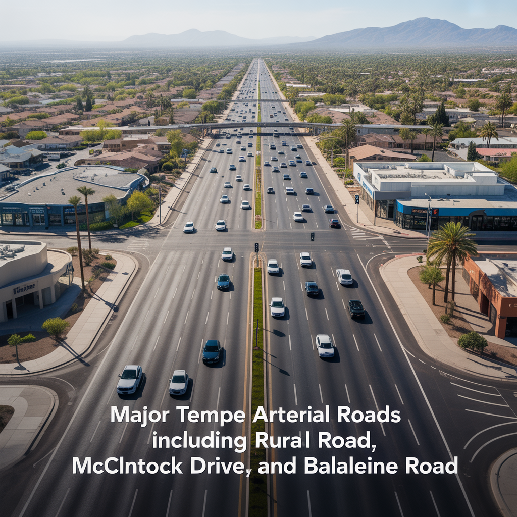
Major Tempe Arterial Roads Including Rural Road, McClintock Drive, and Baseline Road
-
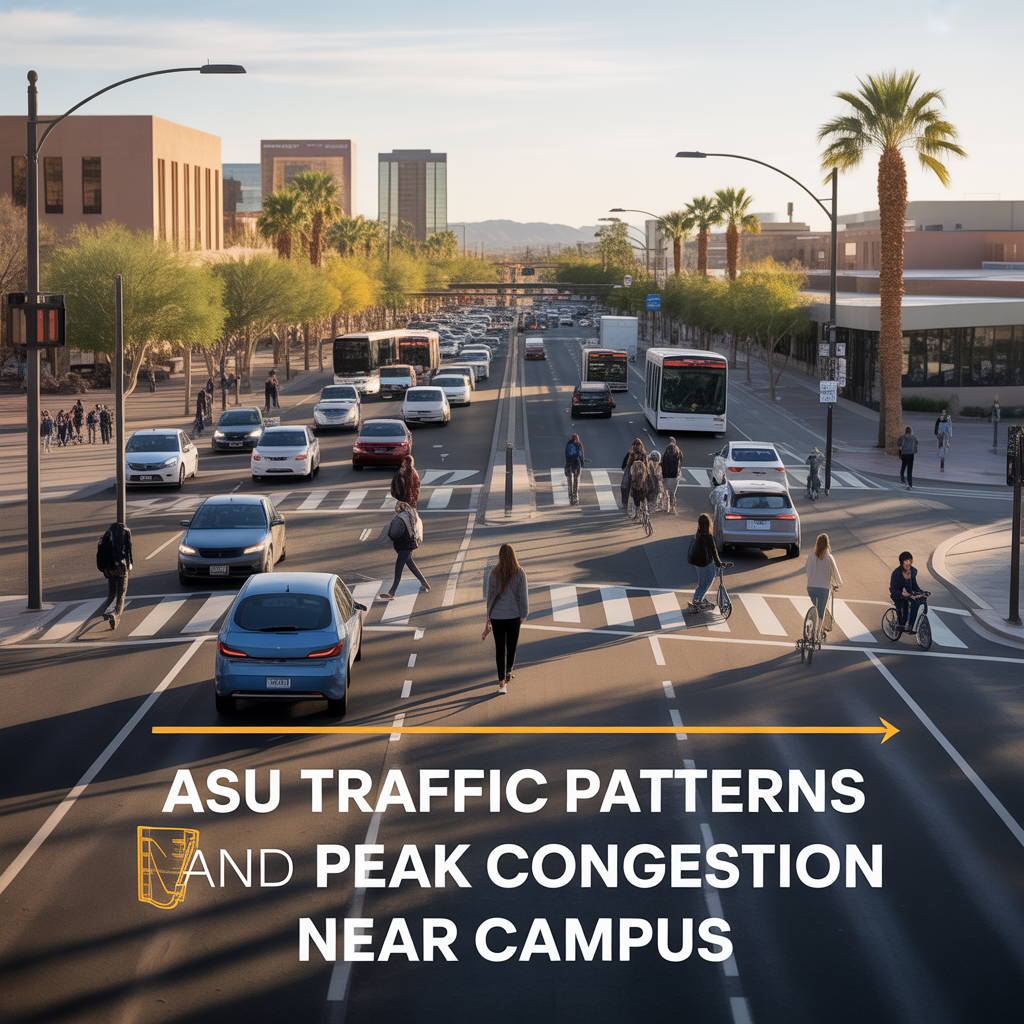
ASU Traffic Patterns and Peak Congestion Near Campus
-

Typical Commute Times From Tempe to Phoenix, Scottsdale, and Chandler
-

Tempe Freeway Access to US-60, Loop 101, and Loop 202
-

Shade, Tree Coverage, and Summer Outdoor Usability in Tempe
-

Outdoor Recreation Near Downtown Tempe and ASU