


This is part of Centennial Lifestyle Guide → [Centennial Lifestyle Hub] & Centennial Real Estate Guide → [Centennial Real Estate Guide]
Written by: Chad Cabalka
Trail connections in Centennial quietly turn a “nice” neighborhood into a place where daily life feels easier, more active, and less car‑dependent. They change not just where you go, but how you move, how often you get outside, and how connected you feel to the rest of the city.
From Isolated Loops to Real Networks
For years, many Centennial residents treated parks and short neighborhood paths as self‑contained loops — you drove to a park, did a lap, and drove home. As more connections have been built between trails, parks, and regional corridors, that pattern has started to shift. Instead of small, disconnected routes, you now have an emerging network that lets you string together meaningful miles without backtracking.
Regional planning work in the south metro area specifically calls out the goal of linking neighborhoods, employment centers, and transit stations through continuous routes, rather than just adding stand‑alone segments. In practice, that means new underpasses, pedestrian bridges, and connector trails that “stitch” existing pieces together so your daily walk or ride can go farther, feel safer, and cross fewer busy streets.
Centennial Link Trail and East–West Routines
One of the clearest examples of how connections change daily life is the Centennial Link Trail. The city’s recent work has focused on creating a continuous east–west bike and pedestrian route that ties the city’s eastern and western neighborhoods together. Construction on key phases has wrapped up or is underway, with design aimed at pulling the trail closer to existing tree lines, improving drainage, and making surfaces accessible for a wide range of users.
For residents, that’s not just an infrastructure upgrade — it’s a new default route. Instead of driving to separate parks on each side of town, you can ride or walk across long stretches of the city on one spine, hitting multiple parks and open spaces in a single outing. Over time, people start planning their days differently: a morning run that crosses town, a family bike ride that ends at a different playground, or a commute to a nearby job or light rail station that stays on trails almost the whole way.
North–South Links, Cherry Creek, and the State Park
Connections don’t just run east–west. Regional planning has sketched north–south corridors that parallel I‑25 to the east and west, linking residential pockets to the Denver Tech Center, light rail stations like Orchard and Dry Creek, and destinations like Centennial Airport and Cherry Creek State Park. These routes are designed to avoid unnecessary highway crossings while still providing access to transit and jobs, which makes them more realistic for everyday use.
On the ground, you’re seeing this in the form of new or planned links into Cherry Creek State Park from Centennial’s neighborhoods. For example, projects are underway to add or upgrade multi‑use paths from streets like East Caley Avenue down toward the park and to tie into existing corridors like Cottonwood Creek Trail and Cherry Creek Trail via undercrossings. The result is that what used to be a “drive‑to” park day can turn into a ride‑from‑home outing, especially for east‑side residents. That changes how often families go, and how seamlessly the park fits into a weekday routine.
Safer Crossings and “Invisible” Stress Reduction
A lot of what makes trail connections powerful isn’t glamorous: it’s safer, more predictable crossings of roads like County Line, Dry Creek, or Arapahoe. Regional trail plans emphasize building a limited number of high‑quality crossings — bridges, underpasses, and redesigned intersections — so people can travel longer distances without constantly navigating traffic.
For daily life, that translates into less mental friction. Parents feel more comfortable letting older kids ride bikes with friends. Runners and cyclists can settle into a rhythm instead of stopping every few blocks. People who were hesitant to ride near busy roads are more willing to try biking to errands or transit. You might not think “I love this new underpass,” but you will notice that your heart rate only rises from exercise, not from dodging cars.
Trails as Commute and Errand Routes
As connections improve, trails start to compete with local streets for more than recreation. The Denver South regional work explicitly talks about linking trails to transit stations, employment centers, and key destinations so people can realistically walk or bike instead of driving for certain trips. In Centennial, that can look like:
- Riding from a neighborhood south of County Line up to the DTC along a connected route instead of driving the whole way.
- Walking or biking to Orchard, Arapahoe, or Dry Creek light rail stations using off‑street paths.
- Using trails to reach grocery stores, schools, or recreation centers without hopping in the car for every short errand.
Once those options feel safe and direct, some residents start intentionally building “trail commutes” into their week — maybe a couple of days by bike and the rest by car. That change pays off in lower gas use, more built‑in exercise, and a different relationship with the city’s geography.
How Routines Evolve as the Network Grows
In the short term, new trail connections show up as small changes: a longer weekend ride, a slightly different walking loop, or a safer way to cross a busy road. Over a year or two, they can add up to entirely new patterns:
- Evening walks that stretch from a single park loop to multi‑park routes along a corridor.
- Family bike rides that replace some car‑based outings, especially to nearby parks and state‑park access points.
- Regular use of light rail or nearby employment centers because the “first and last mile” is now walkable or bikeable.
For many Centennial homeowners, this evolution also changes what “close” means in real‑estate terms. A house that’s a few blocks from a connected trail can feel more convenient than a slightly closer home that’s boxed in by busy streets with no safe crossings. Proximity to the network starts to matter as much as proximity to a single park.
Using Trail Connections as a Lifestyle Filter
When you’re thinking about where to live or whether your current neighborhood still fits you, trail connections are a useful lens. Ask yourself:
- Can you reach a continuous trail from your front door without feeling unsafe?
- How many road crossings does it take to get to a regional corridor or state park access?
- Could you realistically walk or bike to light rail, a favorite park, or a local retail node on existing paths?
If the answer to those questions is yes, your daily routine can flex — you can add movement and reduce car time without rewriting your whole schedule. If the answer is no, you may find yourself driving even for short trips, and those “we’ll walk more once we move” intentions can be harder to fulfill.
As someone who’s watched Centennial’s trail system mature over decades, I’ve seen how often these connections quietly determine whether people feel boxed in or free to roam. If you’d like to look at specific streets, neighborhoods, or upcoming trail projects and how they might change your daily rhythms over the next few years, I’m always happy to sit down and walk through it with you — maps, real routines, and your actual habits at the center of the conversation.
Get the full Denver Market Insights → [Market Insights]


Aurora Southlands Living For Aerospace And Defense Families
This is part of Lockheed Martin Relocation → [Lockheed Martin Relocation Hub] & the larger Denver Relocation Hub → [Denver Relocation Hub] Written by: Chad Cabalka Relocating to Denver for Lockheed Martin changes the home search fast, because Waterton Canyon is not the kind of campus you casually “figure out later.” The southwest metro drives the whole…
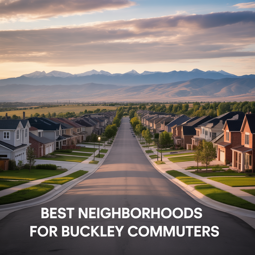
Best Neighborhoods For Buckley Space Force Base Commuters
This is part of Lockheed Martin Relocation → [Lockheed Martin Relocation Hub] & the larger Denver Relocation Hub → [Denver Relocation Hub] Written by: Chad Cabalka If Buckley Space Force Base is the anchor of your move, the best neighborhoods are usually in east and southeast Aurora, with the strongest practical options around Southlands, Murphy Creek, East…
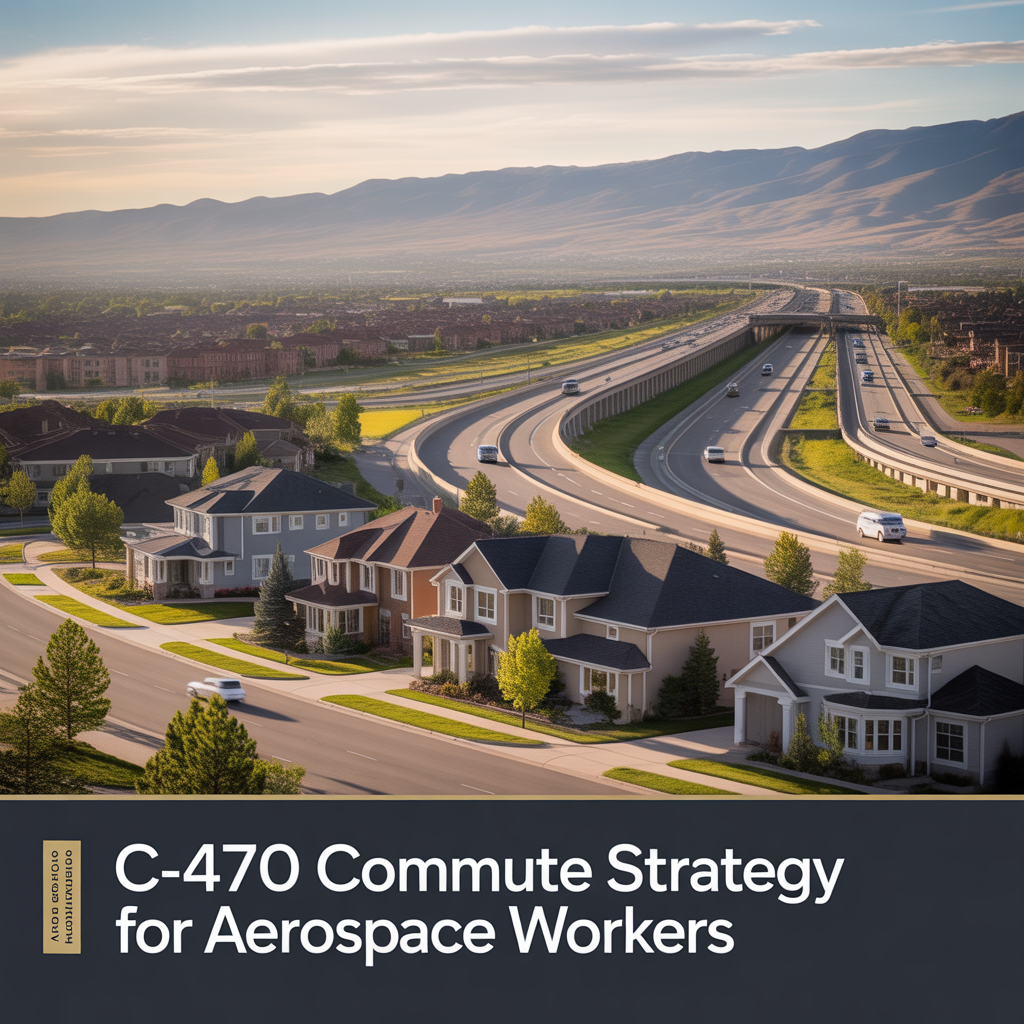
C-470 Commuting Strategy For South Denver Aerospace Workers
This is part of Lockheed Martin Relocation → [Lockheed Martin Relocation Hub] & the larger Denver Relocation Hub → [Denver Relocation Hub] Written by: Chad Cabalka If you work at Waterton, split time between Waterton and the DTC, or live anywhere in the south metro with a Lockheed Martin paycheck attached to it, C-470 is the corridor…