


Chandler Lifestyle Guide → [Chandler Lifestyle Guide] & For more info on Chandler Real Estate → [Chandler Real Estate Guide]
Written by: Renee Burke
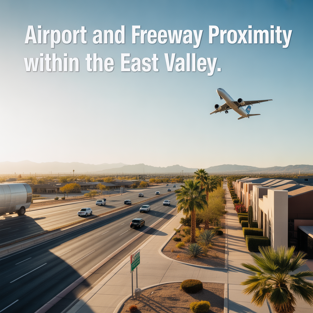
Airport and freeway access in the East Valley is one of those practical details that can quietly make or break your daily rhythm — especially if you travel often, host family from out of town, or just value knowing you’re not stuck in dead-end traffic patterns. In Chandler and the broader East Valley (Mesa, Gilbert, Queen Creek), proximity boils down to two main airports and the freeway grid that ties everything together seamlessly.
Primary Airports Serving the East Valley
Phoenix Sky Harbor International Airport (PHX)
This is the main hub for everyone in the region — the 800-pound gorilla of Phoenix aviation, handling domestic and international flights with the most options.
From Chandler:
- Drive time: 20–35 minutes, depending on time of day and exact neighborhood. South Chandler (Ocotillo) is quickest via Loop 202 west; north Chandler uses Loop 101 north to Loop 202.
- Proximity sweet spots: West and northwest Chandler neighborhoods are closest (under 20 minutes outside rush hour). East Chandler adds 5–10 minutes via Loop 202 east to I-10.
It’s not “next door,” but the freeway connections make it feel accessible without being overwhelming.
Phoenix-Mesa Gateway Airport (IWA)
Former Williams AFB, now a growing reliever airport in far east Mesa — Allegiant’s main base with domestic flights to vacation spots.
From Chandler:
- Drive time: 15–25 minutes for east Chandler and Ocotillo areas via Loop 202 east; 25–40 minutes from west Chandler.
- Proximity sweet spots: South and east Chandler shine here — you’re often the closest East Valley residents to this airport, making it ideal for quick getaways without Sky Harbor crowds.
Great for budget flights, less congestion, and future aerospace growth nearby.
Smaller/General Aviation Options
- Chandler Municipal Airport: Tiny spot in south Chandler for private planes and flight training — walkable proximity for pilots, irrelevant for most travelers.
- Falcon Field (Mesa): Busy general aviation in east Mesa, 20–30 minutes from Chandler — popular for plane-spotting or private charters.
Freeway Proximity: Chandler’s Position in the Grid
Chandler sits at a freeway crossroads that gives it excellent East Valley connectivity without the constant roar of living right on top of interstates.
| Area of Chandler | Key Freeways | Airport Access Notes | Drive Feel |
|---|---|---|---|
| Northwest (near 101) | Loop 101 (Price Fwy), Loop 202 | Sky Harbor: 20 min west. Gateway: 30+ min east. | Quick to Tempe/Phoenix; some freeway noise. |
| South/Central (Ocotillo) | Loop 202 (Santan Fwy) dominant | Sky Harbor: 25 min west. Gateway: 15–20 min east. | Easiest overall — freeway on-ramps everywhere. |
| East (near 202 east end) | Loop 202 east to Ellsworth/US-60 | Gateway: 15 min. Sky Harbor: 30 min west. | Feels remote but freeway-direct to far East Valley. |
| West (Kyrene/Rural) | Loop 101 south end, quick to I-10 | Sky Harbor: 15–25 min. Gateway: 35+ min. | Urban-adjacent; fastest to central Phoenix. |
Key insight: No Chandler neighborhood is more than 10 minutes from a major freeway on-ramp, which keeps airport runs predictable. Loop 202 is the star — it arcs right through Chandler, handing you direct paths to both airports without messy surface streets.
Lifestyle Impact by Area
- Frequent flyers: West/northwest Chandler wins for Sky Harbor (business travel, family visits). East/south for Gateway (vacations).
- Noise concerns: No part of Chandler is under flight paths like Tempe or south Phoenix — you’re buffered by distance.
- Road warriors: Freeway proximity means easy hops to Gilbert (5–10 min), Mesa (10–15 min), or Queen Creek (10–20 min).
If airport runs or freeway access are big factors in your Chandler home search — maybe you’re eyeing quick Sky Harbor trips from the west side or Gateway escapes from Ocotillo — I’d love to map it out specifically for your routine. We can pinpoint neighborhoods where the drive feels effortless, not exhausting, and lines up with your work, travel, and family comings-and-goings. You don’t have to piece that together solo; I’m here as your steady East Valley guide to make sure your next home supports the way you actually move through life.
Get the full Phoenix Market Insights → [Market Insights]

-
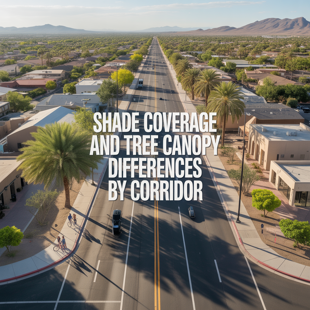
Shade Coverage and Tree Canopy Differences by Corridor
-
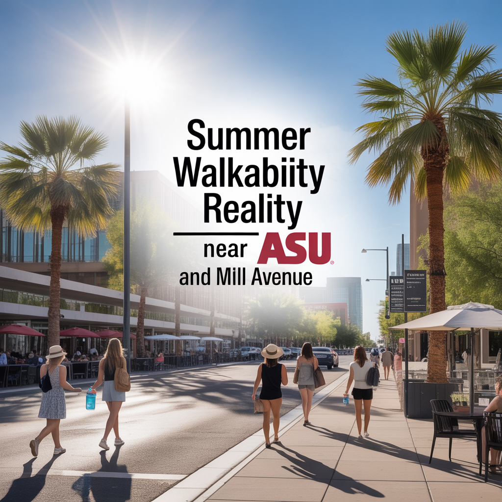
Summer Walkability Reality Near ASU and Mill Avenue
-
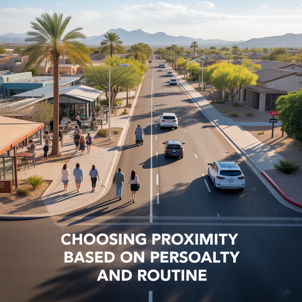
Choosing Proximity Based on Personality and Routine
-
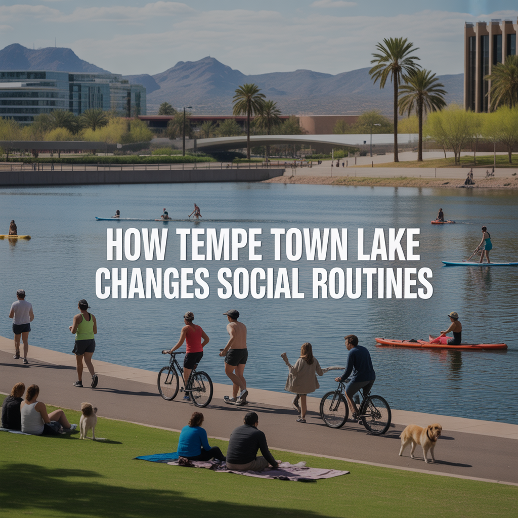
How Tempe Town Lake Changes Social Routines
-
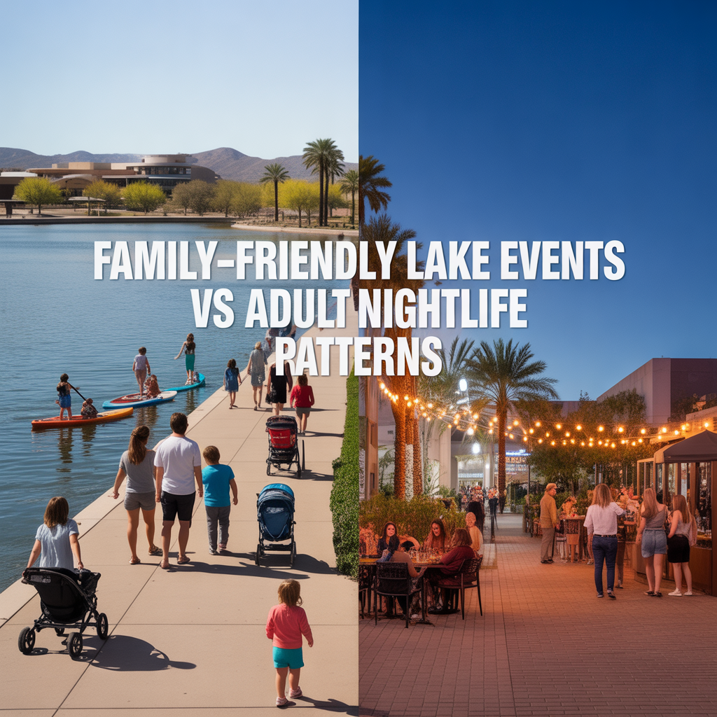
Family-Friendly Lake Events vs Adult Nightlife Patterns
-
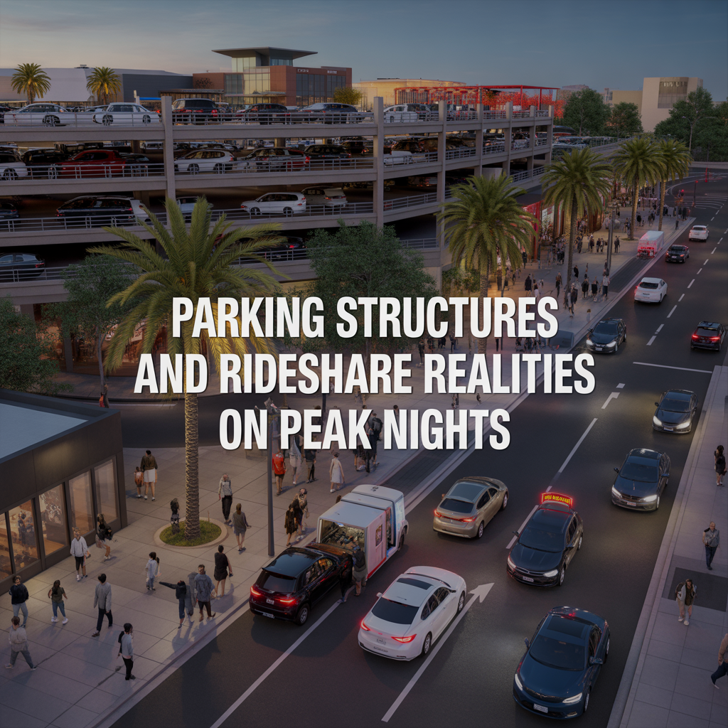
Parking Structures and Rideshare Realities on Peak Nights
-
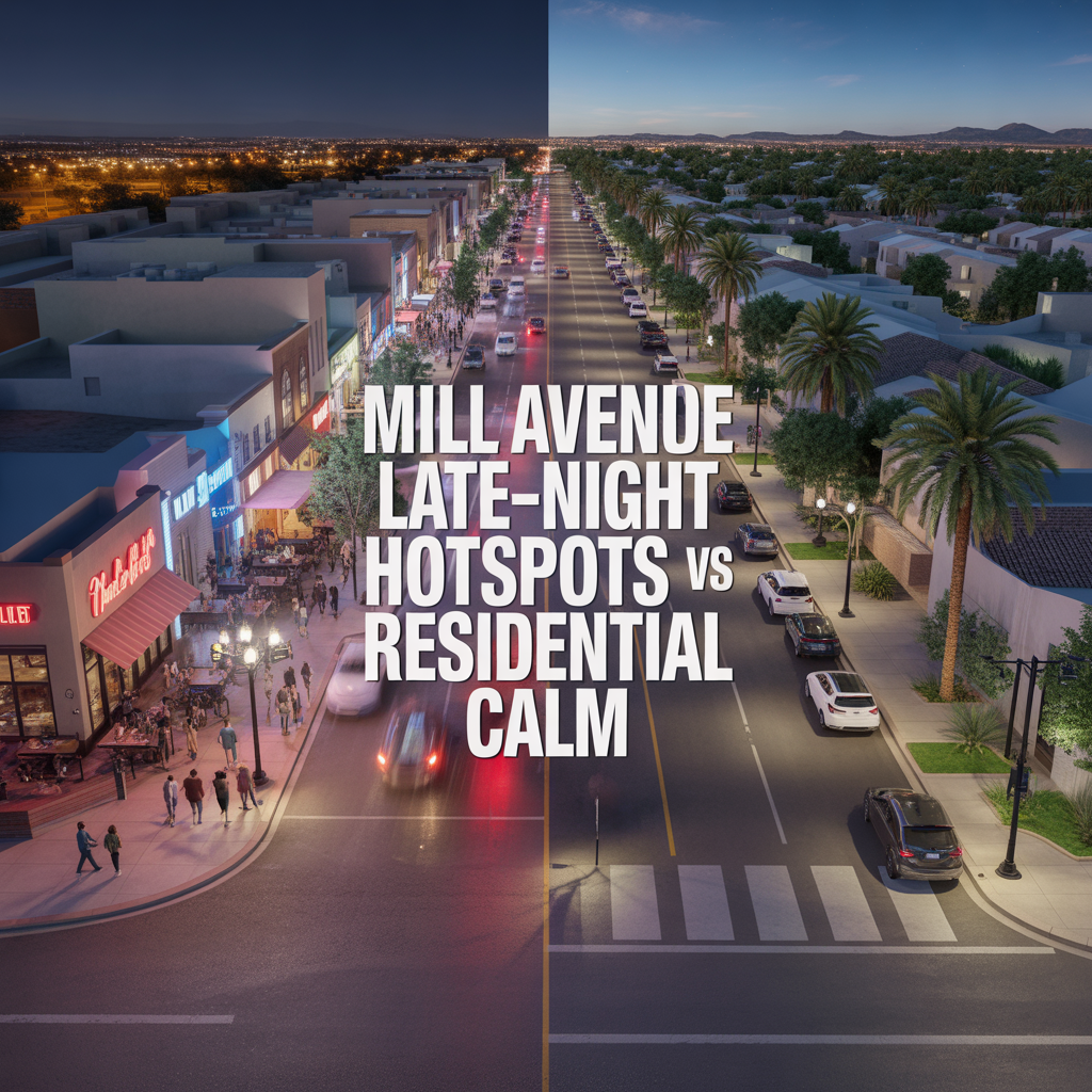
Mill Avenue Late-Night Hotspots vs Residential Calm
-

ASU Game Days and Event Calendar Impacts
-
Cross-Valley Trip Efficiency From Tempe
-
Micro-Mobility and Bike Utility by Corridor
-
Park-And-Ride, Game Day, and Event Access Patterns
-
Airport Timing Strategy Around ASU and Rush Hour Traffic
-

Light Rail Use Cases That Actually Improve Daily Life
-
Freeway vs Arterial Routing During Peak Windows
-

Real-World Drive Times to Sky Harbor From Different Tempe Pockets
-
How Traffic and Commute Direction Affect Daily Life in North vs South Tempe
-

Bike Paths, Walkability, and Short-Distance Transportation in Tempe
-
Driving Access From Tempe to Phoenix Sky Harbor Airport
-
Light Rail Access Between Tempe, Downtown Phoenix, and Mesa
-
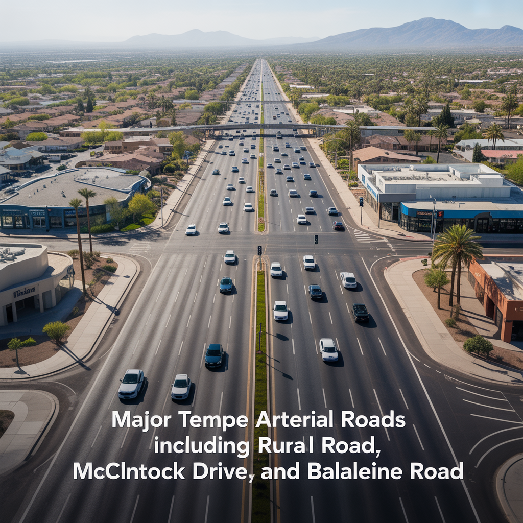
Major Tempe Arterial Roads Including Rural Road, McClintock Drive, and Baseline Road
-
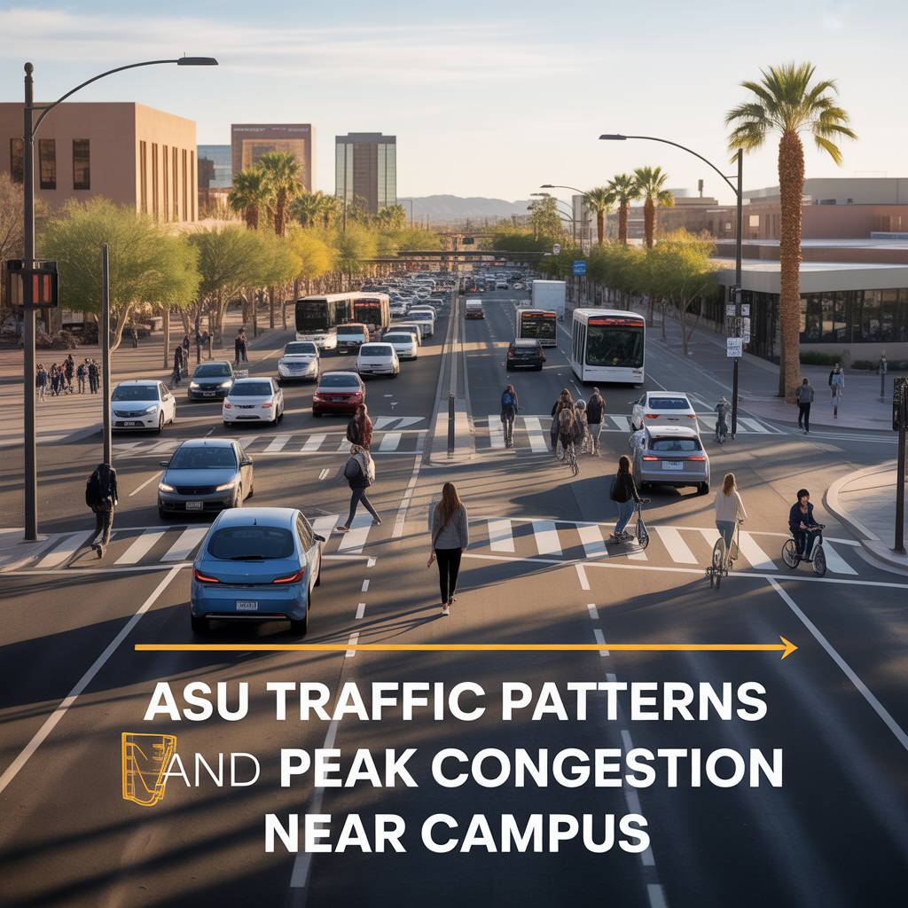
ASU Traffic Patterns and Peak Congestion Near Campus
-
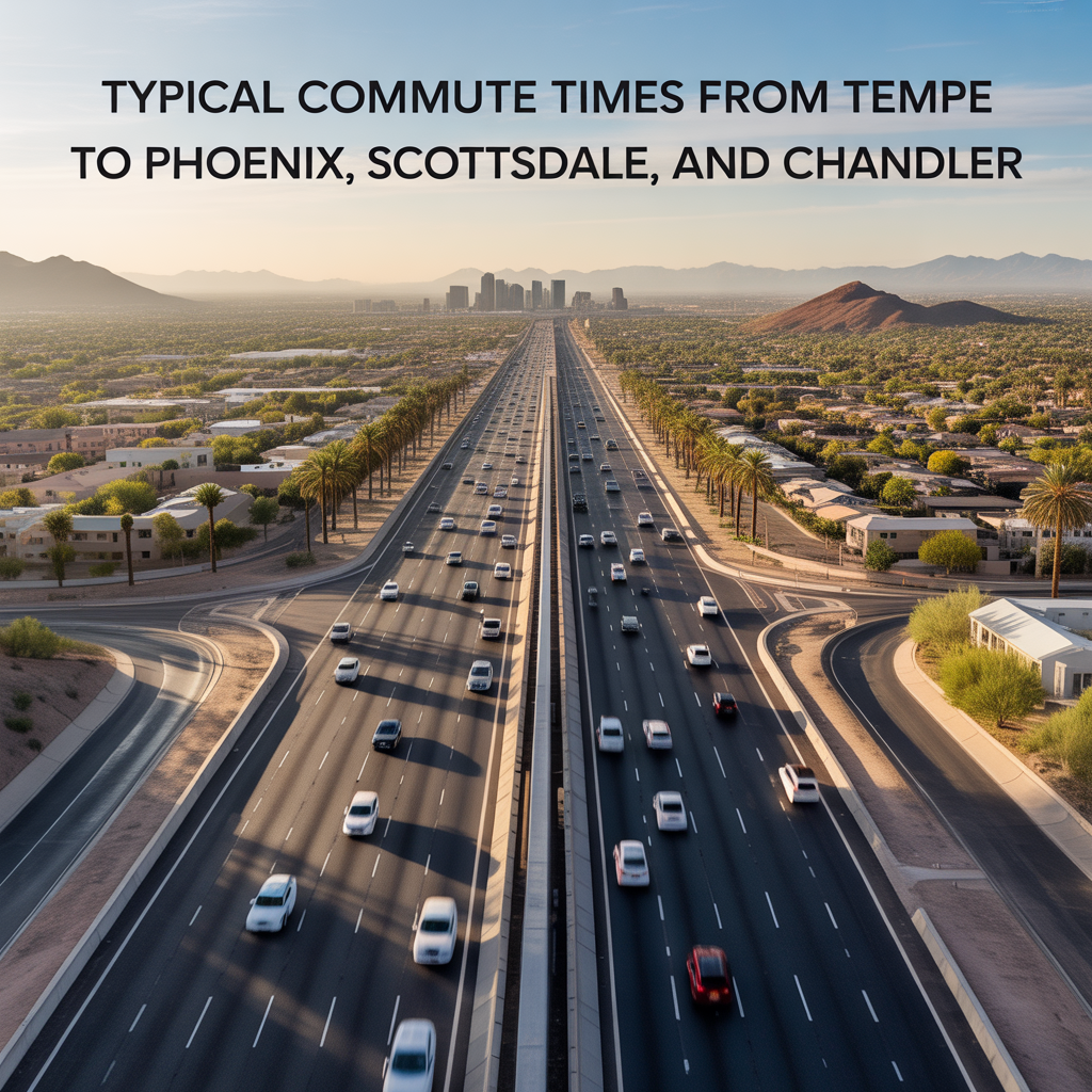
Typical Commute Times From Tempe to Phoenix, Scottsdale, and Chandler
-
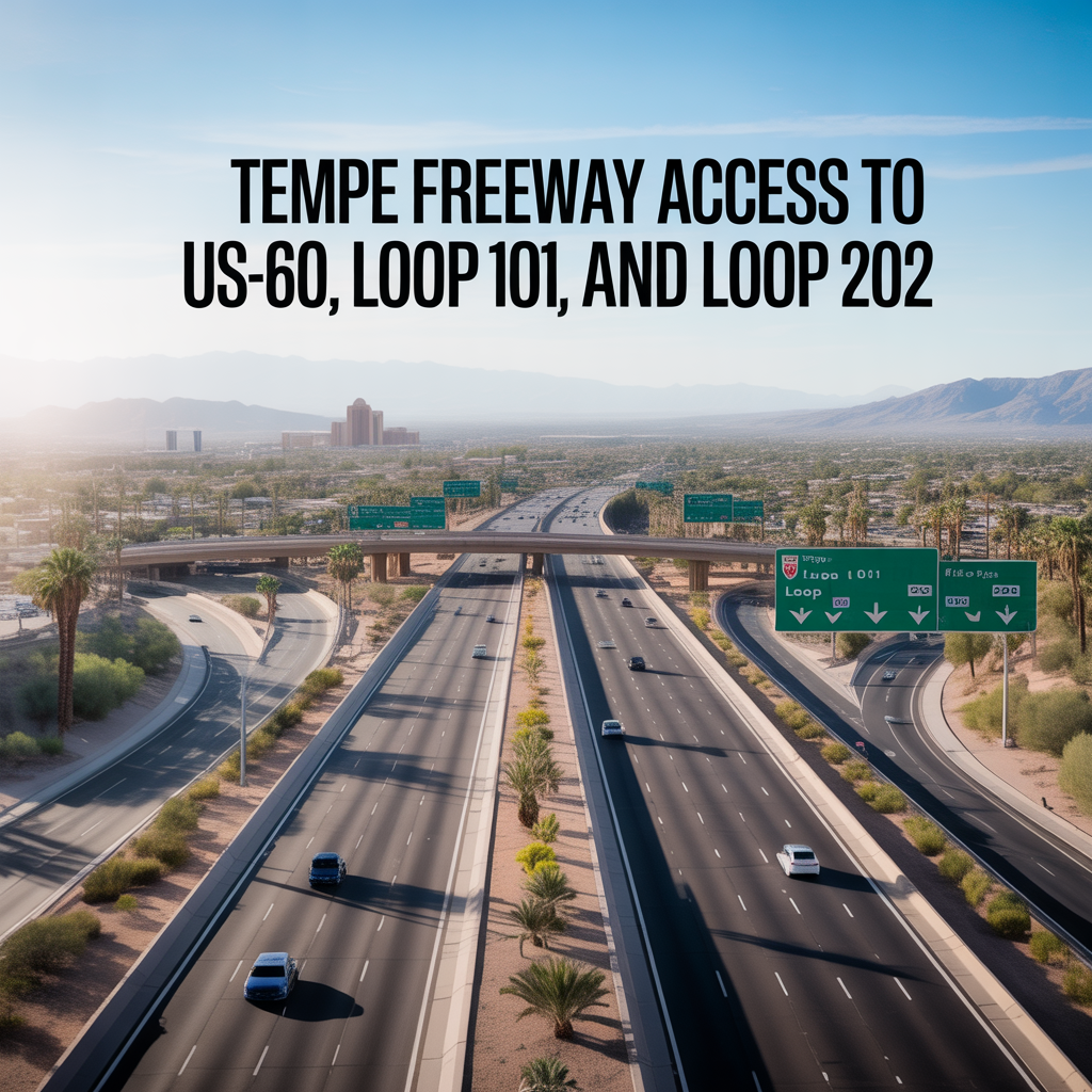
Tempe Freeway Access to US-60, Loop 101, and Loop 202
-
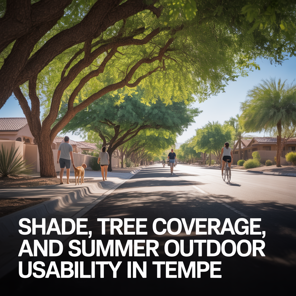
Shade, Tree Coverage, and Summer Outdoor Usability in Tempe
-
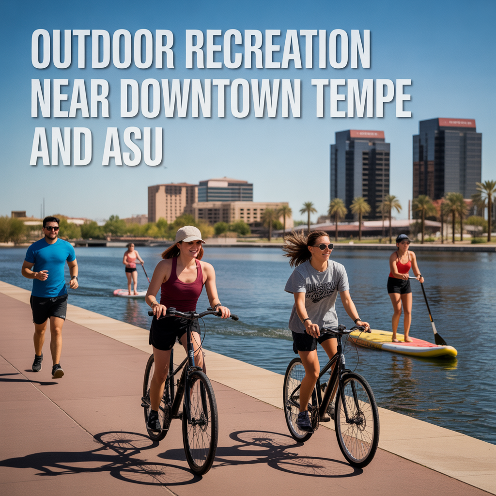
Outdoor Recreation Near Downtown Tempe and ASU