


Chandler Lifestyle Guide → [Chandler Lifestyle Guide] & For more info on Chandler Real Estate → [Chandler Real Estate Guide]
Written by: Renee Burke
Congestion in Chandler doesn’t just slow cars — it quietly reshapes daily rhythms, nudging families toward earlier park runs or later brewery patios to dodge the 4-6 p.m. crawl on Price Road. I’ve adjusted countless client schedules around these predictable pulses over years here, watching how Loop 202 backups turn “quick errands” into thoughtful loops that prioritize time at home or nearby green spaces.
The city’s thoughtful signals and ongoing widenings soften the impact, but peaks still foster habits like midday trail walks or neighborhood coworking, creating a more intentional pace that suits our East Valley life beautifully.
Morning Peaks Reshape School and Coffee Runs
That 6:30-9 a.m. northbound swell on Loop 202 west and Price Road shifts school drop-offs to 8:15 a.m. sharp — Fulton Ranch parents linger at splash pads post-run, while Ocotillo pros grab Lux Coffee predawn to beat Ray Road merges. Downtown families walk to Knox Academy entirely, turning potential stress into neighborhood chats.
Routines adapt: south Chandler skips the fray via McQueen, claiming Tumbleweed fields early before soccer lines form.
Evening Slowdowns Extend Home Time
The 3-6 p.m. southbound return on Price and eastbound Loop 202 stretches 20-minute drives to 40, so Sun Groves hosts block BBQs instead of Fashion Center dinners, patios filling as Fashion Center clears post-7 p.m. West Chandler’s Desert Breeze sees dusk picnics peak, families syncing with quieter arterials.
Hybrid workers from Intel decompress on Paseo Trails, evenings freed for kids’ practices rather than gridlock.
Midday Pulses Favor Local Loops
11 a.m.-1 p.m. lunch rushes on Ray Road prompt Ocotillo lakefront sandwiches over Vintage 95 crowds, while downtown shifts to Dr. A.J. Park benches for calls. Tech corridor freelancers claim Venture X midday, dodging casual congestion.
Southside Bashas’ runs stay serene, routines clustering essentials closer to home.
Weekend Waves Build Community Pauses
Saturday Fashion Center overflows push west Chandler to Perch rooftops early, Sunday Loop 202 construction (like Dobson ramps) nudges Paseo Vista disc golf over distant hikes. Art Walk Thursdays draw patient loops, turning delays into pre-patio strolls.
These patterns foster loyalty — neighborhoods become self-sufficient havens.
| Congestion Peak | Routine Shift | Neighborhood Win |
|---|---|---|
| Morning North | Early parks, walk schools | Downtown/Ocotillo calm |
| Evening South | Home BBQs, trail unwinds | Sun Groves/West ease |
| Midday Lunch | Local cafes, park calls | Fulton Ranch loops |
| Weekend Spikes | Early patios, nearby play | Paseo communities |
Why Congestion Cultivates Chandler’s Charm
These flows encourage “park first, drive second” habits, buffering peaks with 230 smart signals and Loop 202 expansions through 2027. Families gain richer evenings, resale favoring walkable pockets where routines thrive despite snarls — south zones appreciate steadily from self-contained lives.
It transforms potential frustration into a more rooted, neighborly rhythm.
Your Congestion-Smart Chandler Flow
Chandler’s congestion carves routines that prioritize what matters most, right where you live.
If this reveals patterns near homes you’re eyeing, you don’t have to adapt alone. I’ve shaped so many schedules to fit seamlessly. Reach out — let’s craft your ideal daily rhythm, one smooth turn at a time.
Get the full Phoenix Market Insights → [Market Insights]

-
Shade Coverage and Tree Canopy Differences by Corridor
-
Summer Walkability Reality Near ASU and Mill Avenue
-
Choosing Proximity Based on Personality and Routine
-
How Tempe Town Lake Changes Social Routines
-
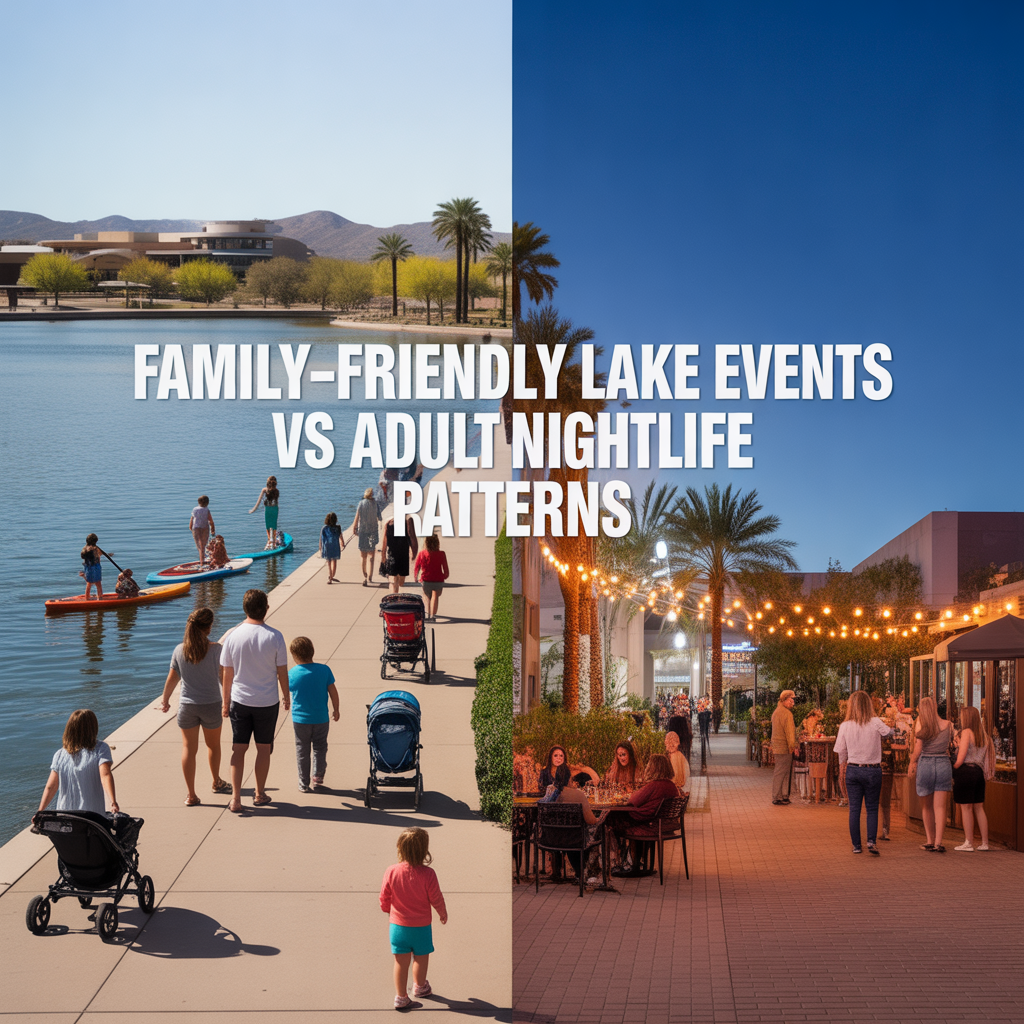
Family-Friendly Lake Events vs Adult Nightlife Patterns
-
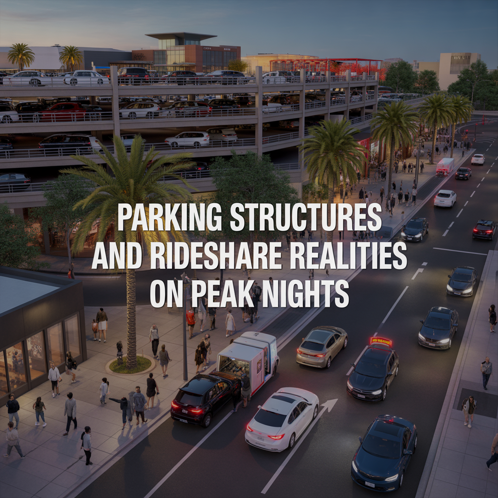
Parking Structures and Rideshare Realities on Peak Nights
-
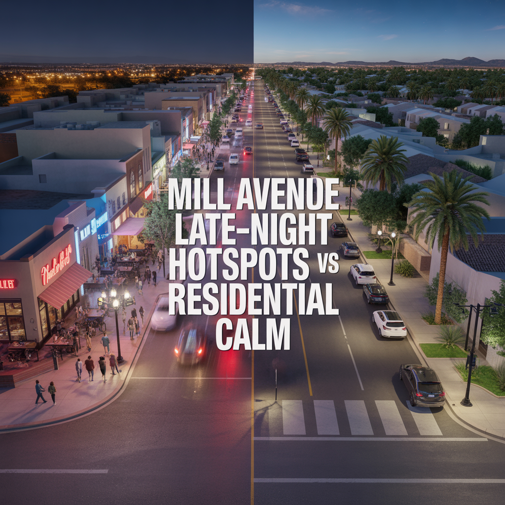
Mill Avenue Late-Night Hotspots vs Residential Calm
-

ASU Game Days and Event Calendar Impacts
-
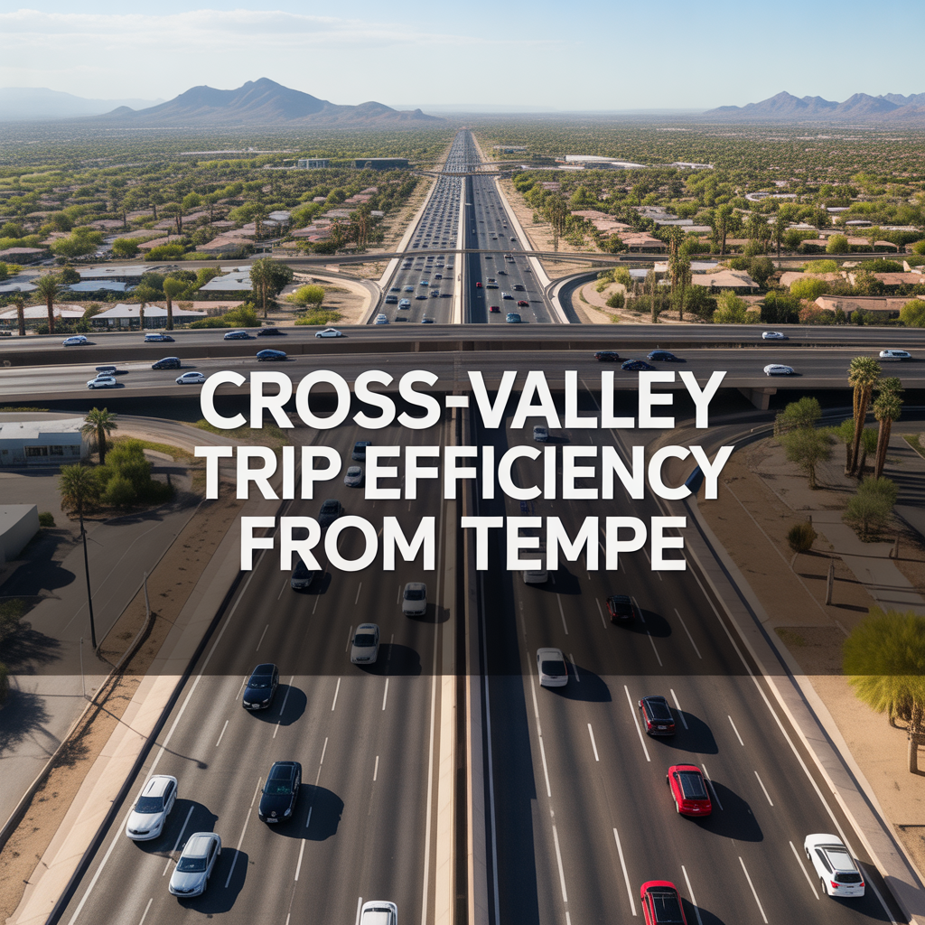
Cross-Valley Trip Efficiency From Tempe
-
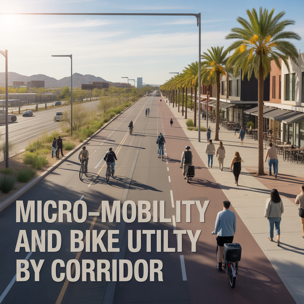
Micro-Mobility and Bike Utility by Corridor
-
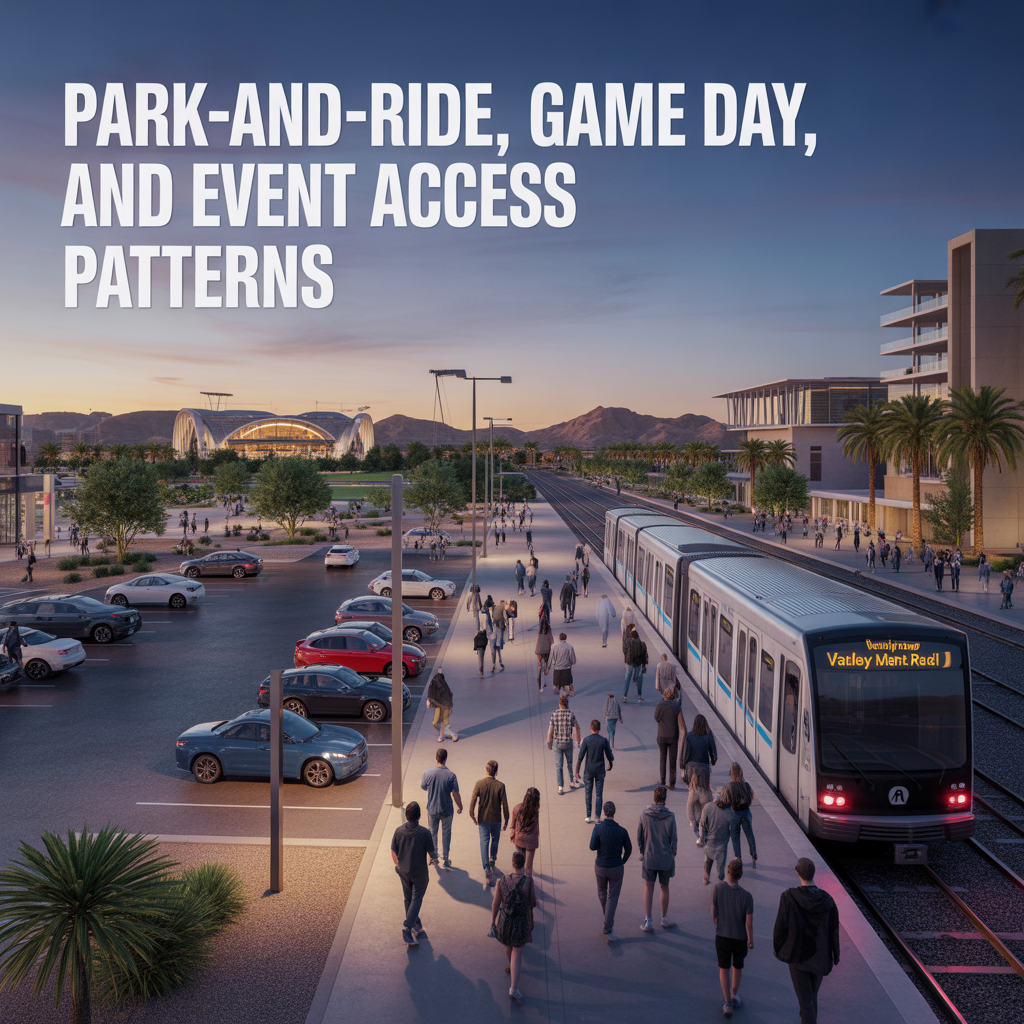
Park-And-Ride, Game Day, and Event Access Patterns
-
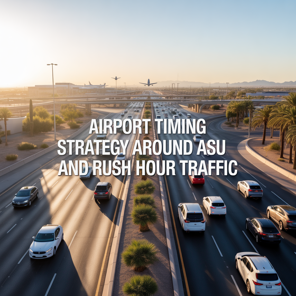
Airport Timing Strategy Around ASU and Rush Hour Traffic
-

Light Rail Use Cases That Actually Improve Daily Life
-
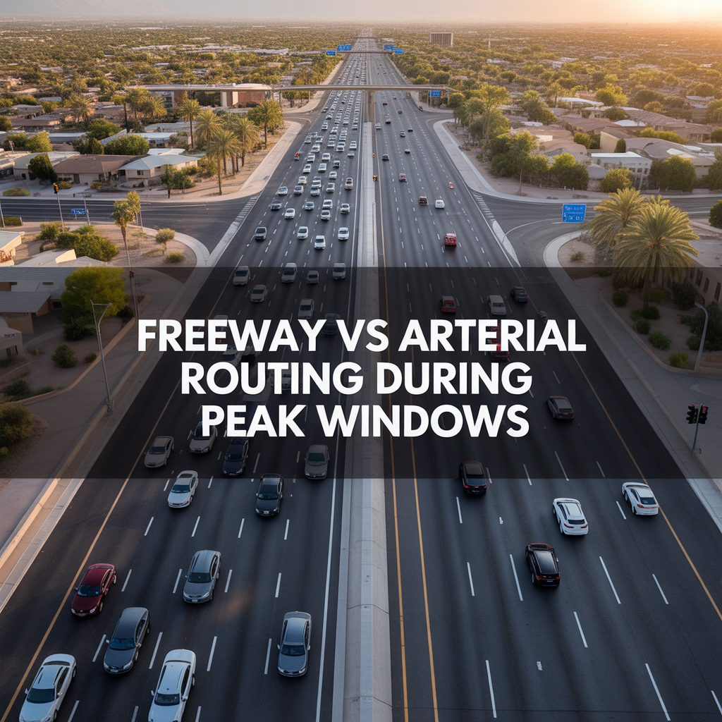
Freeway vs Arterial Routing During Peak Windows
-
Real-World Drive Times to Sky Harbor From Different Tempe Pockets
-
How Traffic and Commute Direction Affect Daily Life in North vs South Tempe
-

Bike Paths, Walkability, and Short-Distance Transportation in Tempe
-
Driving Access From Tempe to Phoenix Sky Harbor Airport
-
Light Rail Access Between Tempe, Downtown Phoenix, and Mesa
-
Major Tempe Arterial Roads Including Rural Road, McClintock Drive, and Baseline Road
-
ASU Traffic Patterns and Peak Congestion Near Campus
-
Typical Commute Times From Tempe to Phoenix, Scottsdale, and Chandler
-
Tempe Freeway Access to US-60, Loop 101, and Loop 202
-
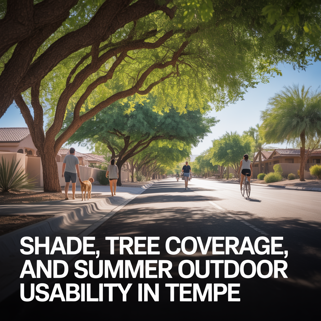
Shade, Tree Coverage, and Summer Outdoor Usability in Tempe
-
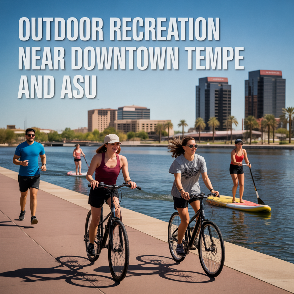
Outdoor Recreation Near Downtown Tempe and ASU