


Chandler Lifestyle Guide → [Chandler Lifestyle Guide] & For more info on Chandler Real Estate → [Chandler Real Estate Guide]
Written by: Renee Burke
Congestion in Chandler doesn’t just slow cars — it quietly reshapes daily rhythms, nudging families toward earlier park runs or later brewery patios to dodge the 4-6 p.m. crawl on Price Road. I’ve adjusted countless client schedules around these predictable pulses over years here, watching how Loop 202 backups turn “quick errands” into thoughtful loops that prioritize time at home or nearby green spaces.
The city’s thoughtful signals and ongoing widenings soften the impact, but peaks still foster habits like midday trail walks or neighborhood coworking, creating a more intentional pace that suits our East Valley life beautifully.
Morning Peaks Reshape School and Coffee Runs
That 6:30-9 a.m. northbound swell on Loop 202 west and Price Road shifts school drop-offs to 8:15 a.m. sharp — Fulton Ranch parents linger at splash pads post-run, while Ocotillo pros grab Lux Coffee predawn to beat Ray Road merges. Downtown families walk to Knox Academy entirely, turning potential stress into neighborhood chats.
Routines adapt: south Chandler skips the fray via McQueen, claiming Tumbleweed fields early before soccer lines form.
Evening Slowdowns Extend Home Time
The 3-6 p.m. southbound return on Price and eastbound Loop 202 stretches 20-minute drives to 40, so Sun Groves hosts block BBQs instead of Fashion Center dinners, patios filling as Fashion Center clears post-7 p.m. West Chandler’s Desert Breeze sees dusk picnics peak, families syncing with quieter arterials.
Hybrid workers from Intel decompress on Paseo Trails, evenings freed for kids’ practices rather than gridlock.
Midday Pulses Favor Local Loops
11 a.m.-1 p.m. lunch rushes on Ray Road prompt Ocotillo lakefront sandwiches over Vintage 95 crowds, while downtown shifts to Dr. A.J. Park benches for calls. Tech corridor freelancers claim Venture X midday, dodging casual congestion.
Southside Bashas’ runs stay serene, routines clustering essentials closer to home.
Weekend Waves Build Community Pauses
Saturday Fashion Center overflows push west Chandler to Perch rooftops early, Sunday Loop 202 construction (like Dobson ramps) nudges Paseo Vista disc golf over distant hikes. Art Walk Thursdays draw patient loops, turning delays into pre-patio strolls.
These patterns foster loyalty — neighborhoods become self-sufficient havens.
| Congestion Peak | Routine Shift | Neighborhood Win |
|---|---|---|
| Morning North | Early parks, walk schools | Downtown/Ocotillo calm |
| Evening South | Home BBQs, trail unwinds | Sun Groves/West ease |
| Midday Lunch | Local cafes, park calls | Fulton Ranch loops |
| Weekend Spikes | Early patios, nearby play | Paseo communities |
Why Congestion Cultivates Chandler’s Charm
These flows encourage “park first, drive second” habits, buffering peaks with 230 smart signals and Loop 202 expansions through 2027. Families gain richer evenings, resale favoring walkable pockets where routines thrive despite snarls — south zones appreciate steadily from self-contained lives.
It transforms potential frustration into a more rooted, neighborly rhythm.
Your Congestion-Smart Chandler Flow
Chandler’s congestion carves routines that prioritize what matters most, right where you live.
If this reveals patterns near homes you’re eyeing, you don’t have to adapt alone. I’ve shaped so many schedules to fit seamlessly. Reach out — let’s craft your ideal daily rhythm, one smooth turn at a time.
Get the full Phoenix Market Insights → [Market Insights]

-

Dog Parks, Playgrounds, and Family-Friendly Parks in Tempe
-

Canal Paths and Bike Trails Connecting Tempe Neighborhoods
-

Papago Park Hiking Trails and Tempe Outdoor Access
-
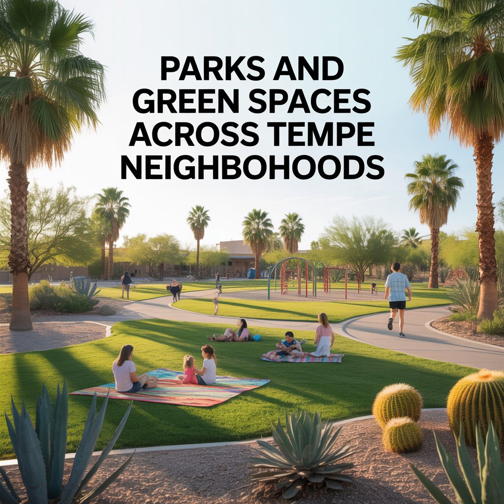
Parks and Green Spaces Across Tempe Neighborhoods
-

Tempe Town Lake Paths, Running Trails, and Daily Recreation
-

Breweries, Coffee Shops, and Lakefront Hangouts Around Tempe Town Lake
-

Parking, Rideshare, and Event Traffic Around Tempe Dining Districts
-

Late-Night Activity and Residential Quiet Zones Near Entertainment Areas
-

How ASU Influences Tempe’s Restaurant and Nightlife Scene
-

Dining Options in South Tempe Neighborhood Corridors
-
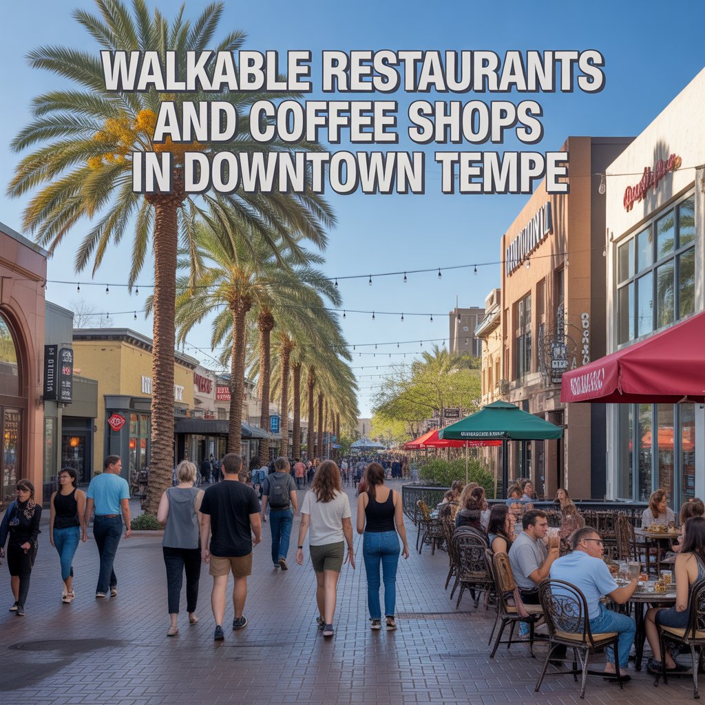
Walkable Restaurants and Coffee Shops in Downtown Tempe
-
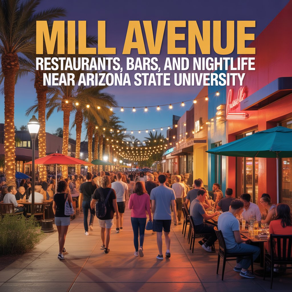
Mill Avenue Restaurants, Bars, and Nightlife Near Arizona State University
-
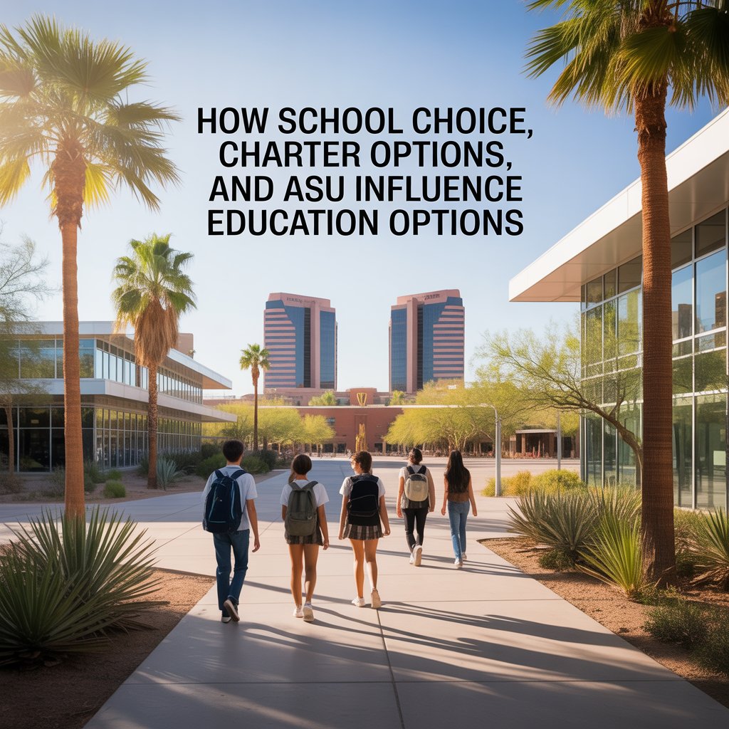
How School Choice, Charter Options, and ASU Influence Education Options
-

Living Near Schools vs Residential Pockets in Tempe Neighborhoods
-
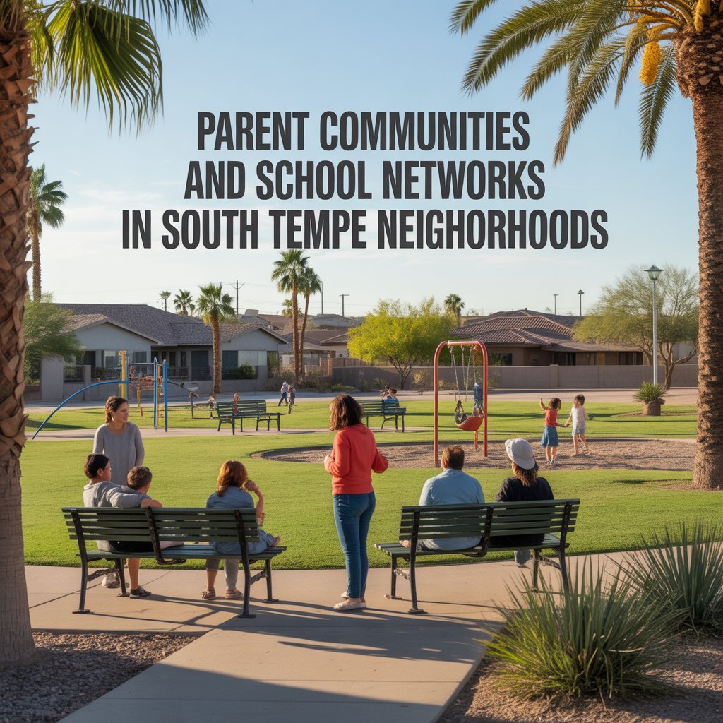
Parent Communities and School Networks in South Tempe Neighborhoods
-

How High School Boundaries Affect Commute Direction
-
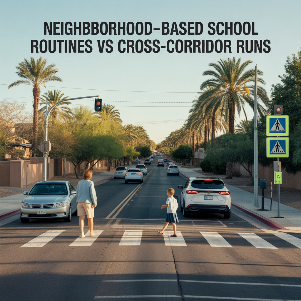
Neighborhood-Based School Routines vs Cross-Corridor Runs
-
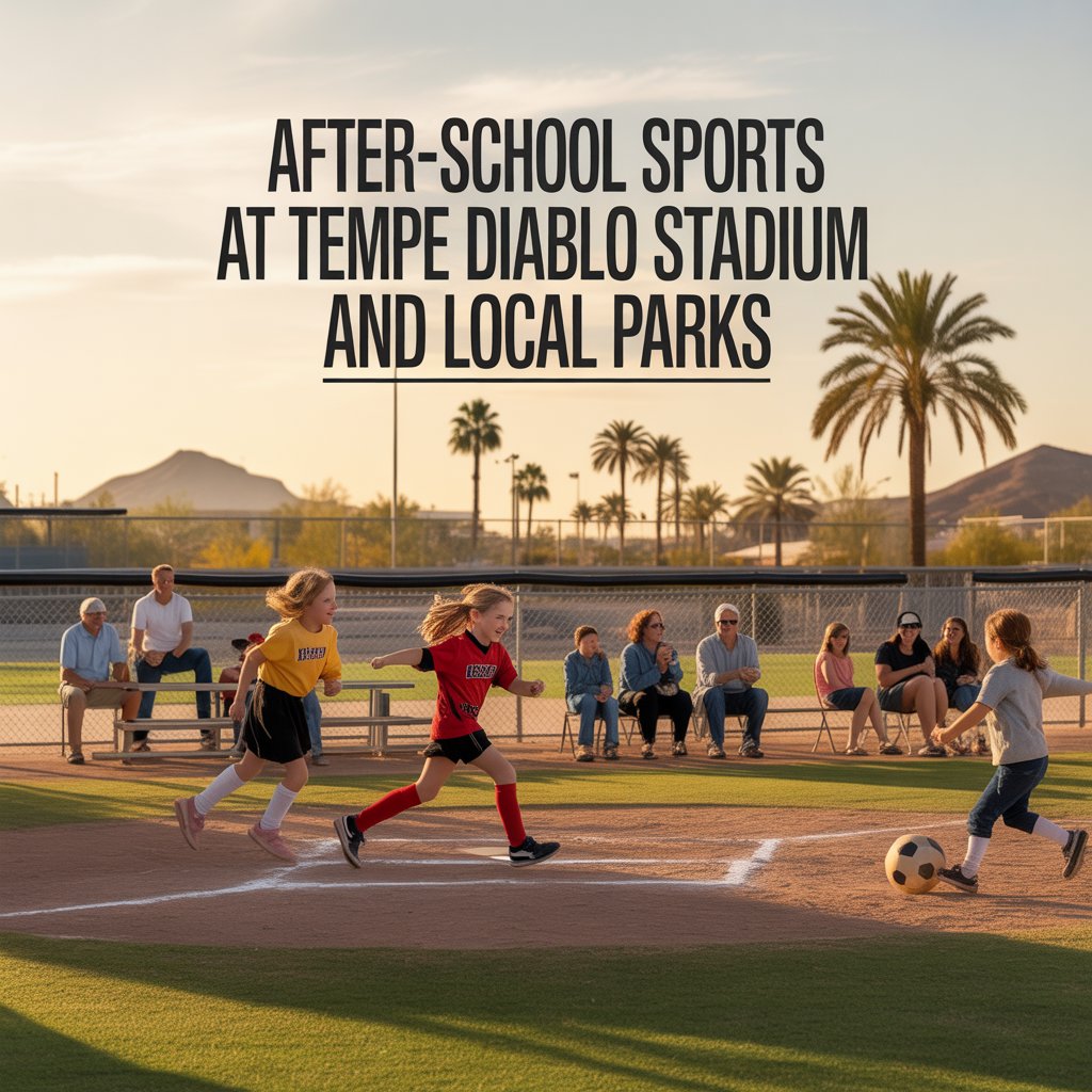
After-School Sports at Tempe Diablo Stadium and Local Parks
-
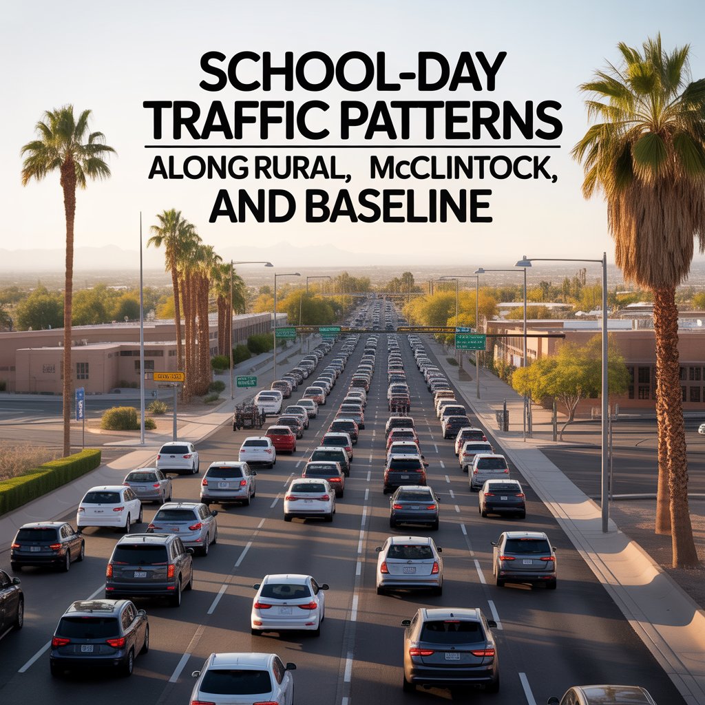
School-Day Traffic Patterns Along Rural, McClintock, and Baseline
-
How Often You Leave Tempe for Phoenix, Scottsdale, or Chandler
-
Noise, Game Days, and Event Cycle Patterns
-

Dining and Social Gravity Along Mill, Apache, and Baseline
-

Tempe Town Lake and Greenbelt Access You’ll Actually Use
-

Loop 101, US-60, and Arterial Efficiency by Corridor
-
True Walkability Near Mill Avenue vs Drive-First South Tempe